Holme
Settlement in Yorkshire
England
Holme
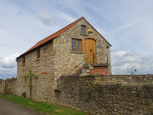
Holme is a small village located in the Holme Valley, West Yorkshire, England. Situated approximately 8 miles south of Huddersfield, it lies within the Metropolitan Borough of Kirklees. The village is nestled in the picturesque countryside, surrounded by rolling hills, lush green fields, and charming stone-built houses.
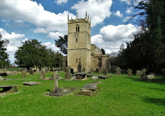
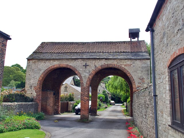
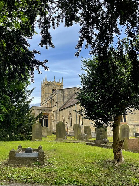
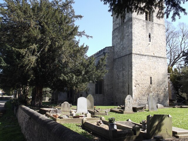
Holme is known for its rich history, with records dating back to the Domesday Book in 1086. The village has retained much of its traditional character, with several historic buildings still standing, including the Grade II listed St. David's Church, which dates back to the 13th century.
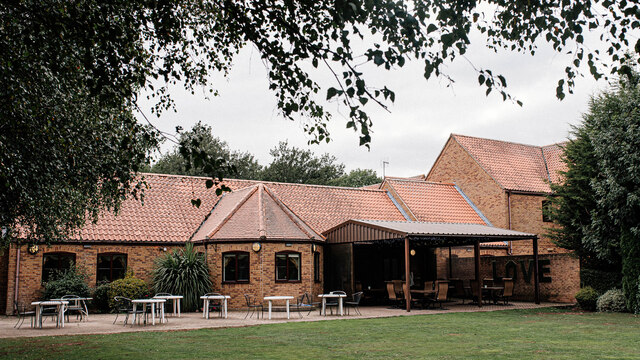
Despite its small size, Holme offers a range of amenities to its residents. The village has a primary school, a post office, a village hall, and a local pub, providing a sense of community and convenience.
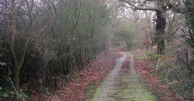
The surrounding area provides ample opportunities for outdoor activities. Holme Moss, a prominent moorland, is a popular spot for hiking, cycling, and birdwatching. The Holme Valley also hosts various cultural events throughout the year, including the Holmfirth Arts Festival and the Holme Valley Brass Band Contest.
With its idyllic countryside setting, historic charm, and close-knit community, Holme offers a peaceful retreat from the hustle and bustle of nearby towns and cities, making it an attractive place to live or visit for those seeking a tranquil and scenic escape.
If you have any feedback on the listing, please let us know in the comments section below.
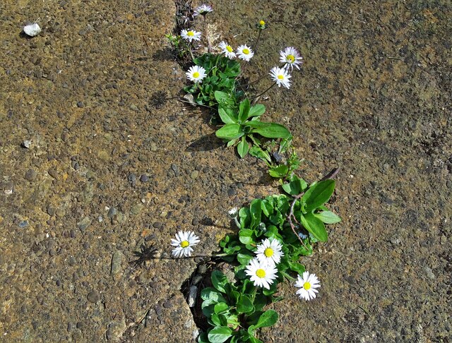
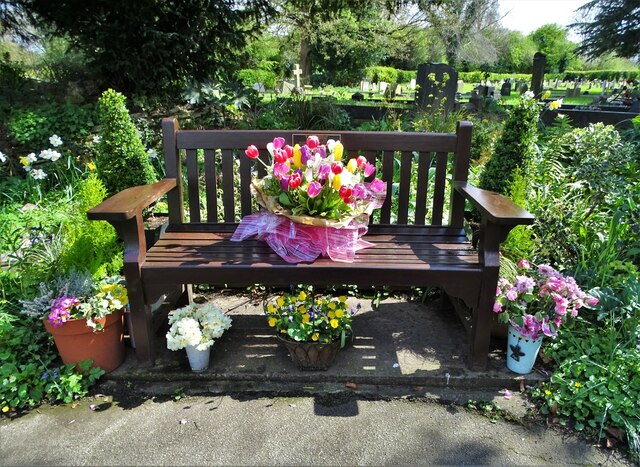
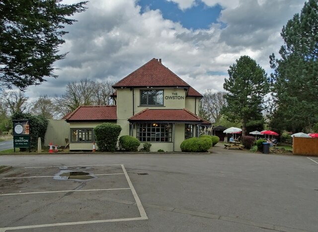
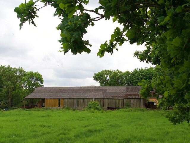
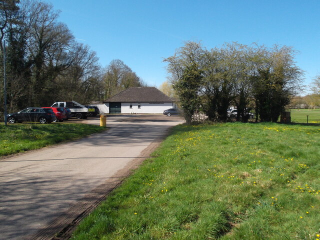
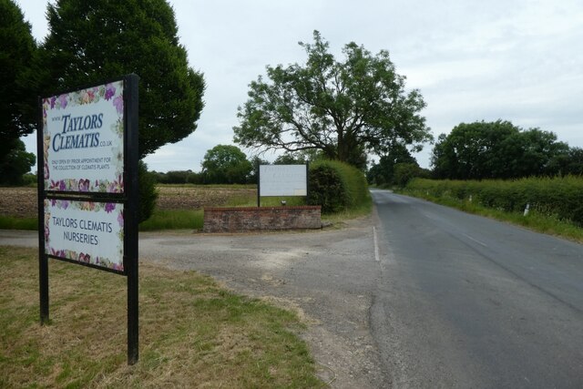
Holme Images
Images are sourced within 2km of 53.591407/-1.1451024 or Grid Reference SE5610. Thanks to Geograph Open Source API. All images are credited.
Holme is located at Grid Ref: SE5610 (Lat: 53.591407, Lng: -1.1451024)
Division: West Riding
Unitary Authority: Doncaster
Police Authority: South Yorkshire
What 3 Words
///commoners.scoots.modules. Near Carcroft, South Yorkshire
Nearby Locations
Related Wikis

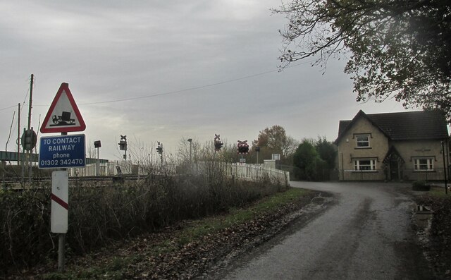
Joan Croft Halt railway station
Joan Croft Halt railway station was a small halt on the East Coast Main Line (ECML) situated by a level crossing at Joan Croft Junction in South Yorkshire...

Tilts
Tilts is a hamlet in the City of Doncaster, South Yorkshire, England, some 4 miles (6.4 km) north of Doncaster city centre and 3 miles (4.8 km) south of...

North Doncaster Chord
The North Doncaster Chord (also known as the Shaftholme Flyover) is a railway connection (chord) between the freight only lines between Hatfield & Stainforth...

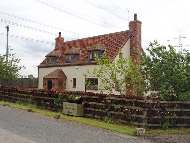
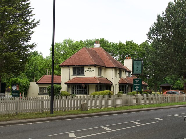
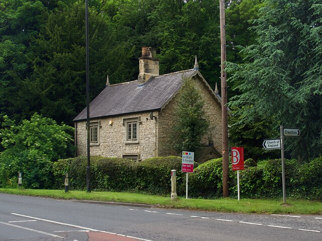
Owston, South Yorkshire
Owston is a small village and civil parish in the City of Doncaster in rural South Yorkshire, England. Historically part of the West Riding of Yorkshire...

Askern Miners F.C.
Askern Miners Football Club is a football club based in Askern, Doncaster, South Yorkshire, England. They are currently members of the Doncaster Saturday...

Carcroft
Carcroft is a rural village in the City of Doncaster, South Yorkshire, England. Historically part of the West Riding of Yorkshire, the village is roughly...

Sutton, South Yorkshire
Sutton is a small village and former civil parish, now in the parish of Norton, in the City of Doncaster in South Yorkshire, England. It lies at approximately...

Thorpe Marsh Nature Reserve
Thorpe Marsh Nature Reserve is a 77-hectare (190-acre) nature reserve located south-west of Thorpe in Balne, north of Doncaster in South Yorkshire, England...
Nearby Amenities
Located within 500m of 53.591407,-1.1451024Have you been to Holme?
Leave your review of Holme below (or comments, questions and feedback).