Hollyhurst

Settlement in Cheshire

England

Hollyhurst

Pinsley Green Near the railway bridge at Pinsley Green.
Pinsley Green Credit: Wayland Smith

Hollyhurst is a small village located in the county of Cheshire, England. It is nestled within the picturesque countryside, surrounded by rolling hills and lush green fields. The village sits approximately 7 miles south of the city of Chester and is easily accessible via the A41 road.

Despite its small size, Hollyhurst has a close-knit community and offers a peaceful and tranquil atmosphere. The village is known for its charming cottages and well-maintained gardens, which add to its idyllic charm. The local architecture reflects the village's rich history, with some buildings dating back several centuries.

Hollyhurst is home to a number of amenities that cater to the needs of its residents. These include a local primary school, a community center, and a small grocery store. The village also boasts a traditional pub, where locals and visitors can enjoy a pint of ale or indulge in some hearty pub food.

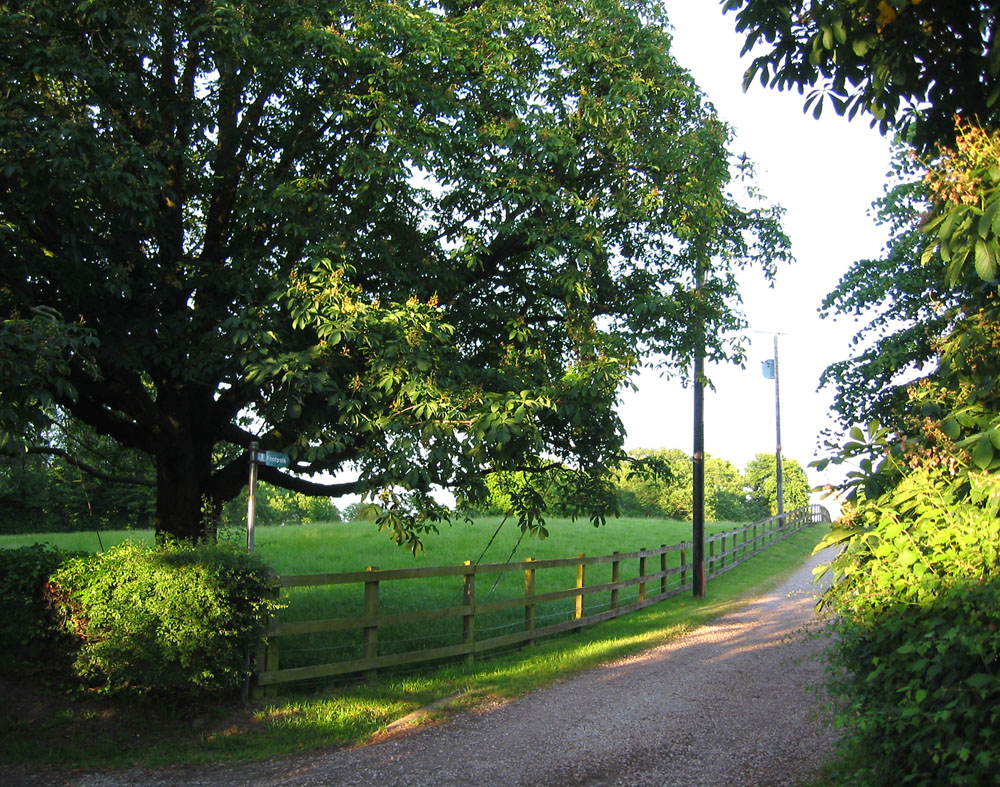
The surrounding countryside provides ample opportunities for outdoor activities. The area is crisscrossed by numerous footpaths and bridleways, making it a popular destination for walkers, cyclists, and horse riders. The nearby Delamere Forest offers a stunning backdrop for leisurely strolls or family picnics.

Although Hollyhurst is a rural village, it benefits from its proximity to larger towns and cities. Chester, with its rich history and vibrant cultural scene, is just a short drive away. Additionally, the nearby town of Nantwich offers a range of shopping options and amenities.

Overall, Hollyhurst offers a tranquil and picturesque setting, making it an attractive place to live for those seeking a peaceful village lifestyle within easy reach of urban amenities.

If you have any feedback on the listing, please let us know in the comments section below.
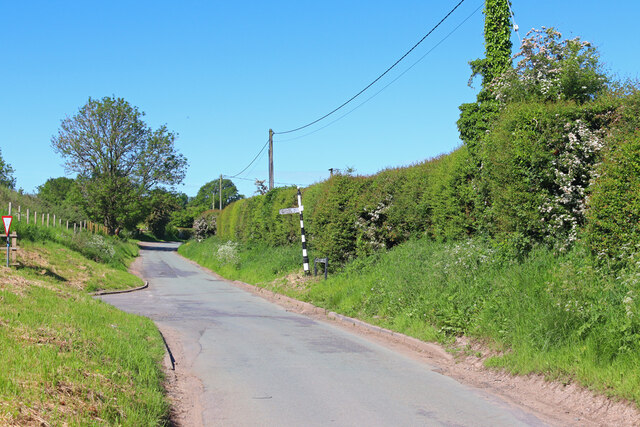
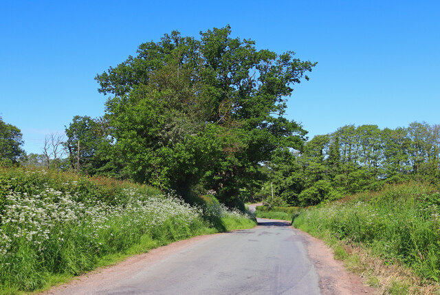
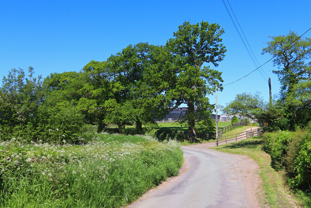
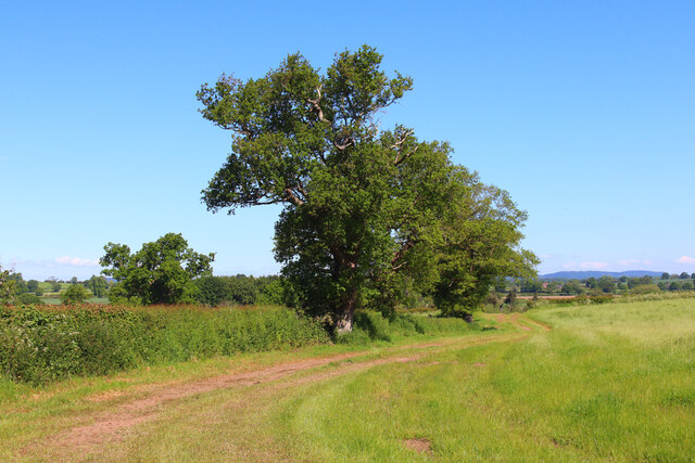
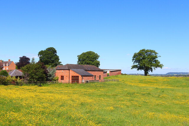
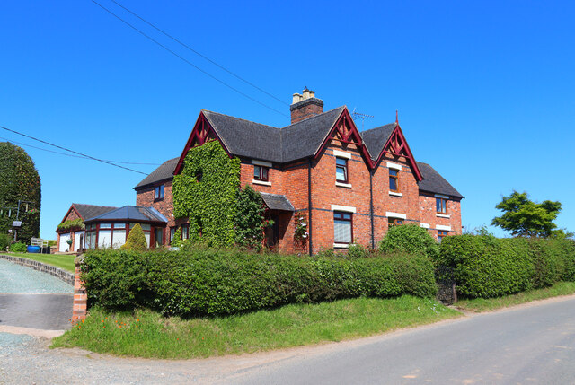
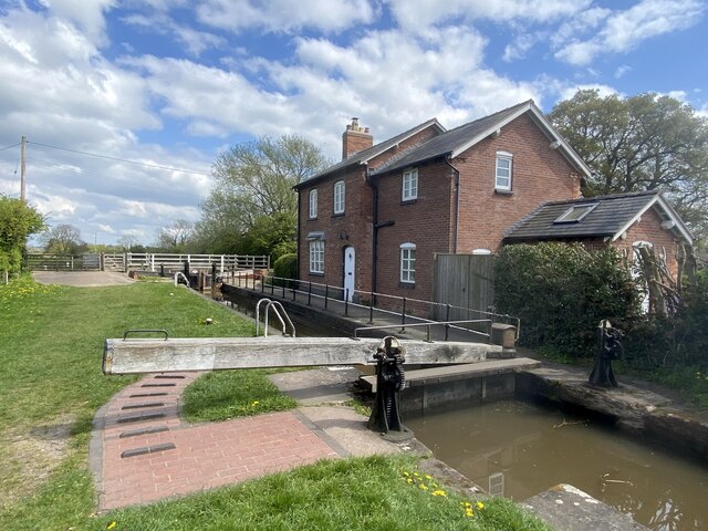
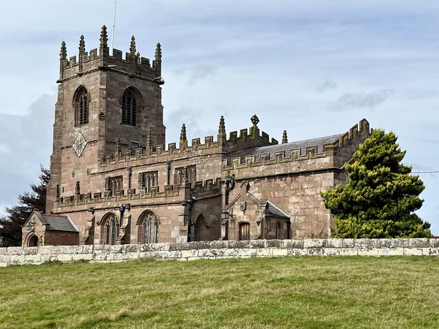
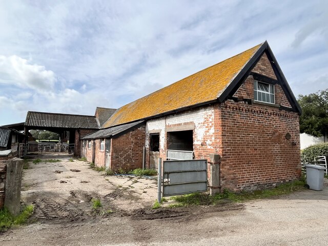
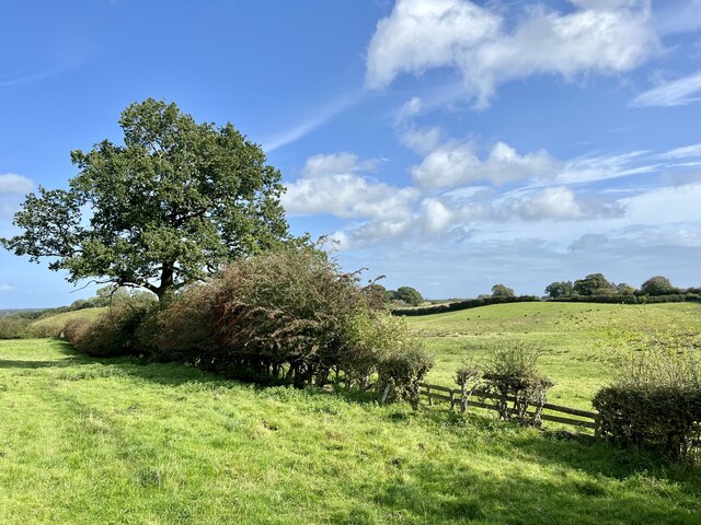
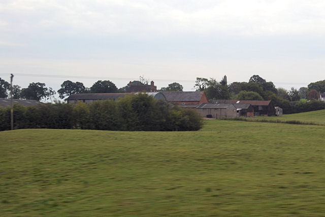
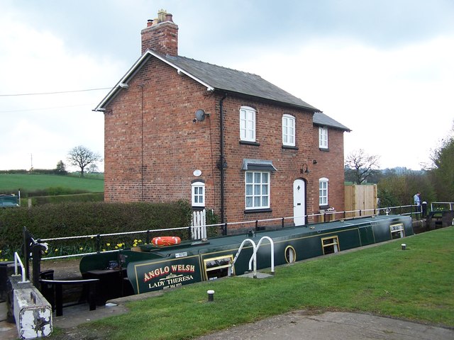
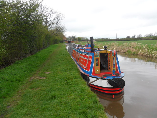
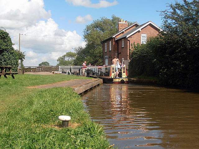
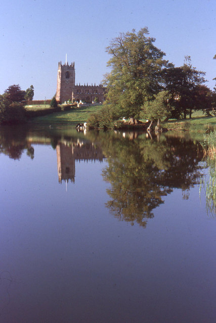
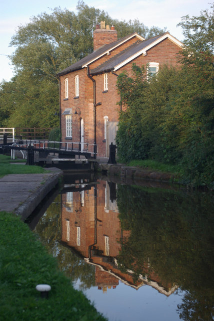
Hollyhurst Images

Images are sourced within 2km of 52.998192/-2.6389388 or Grid Reference SJ5744. Thanks to Geograph Open Source API. All images are credited.

Pinsley Green Near the railway bridge at Pinsley Green.
Pinsley Green
Near the railway bridge at Pinsley Green.
Near Townley Farm Minor road near Wrenbury.
Near Townley Farm
Minor road near Wrenbury.
Marbury Equestrian Centre Farm near Marbury, Shropshire.
Marbury Equestrian Centre
Farm near Marbury, Shropshire.
Off Wrenbury Road Field near Marbury.
Off Wrenbury Road
Field near Marbury.
Marbury Hall Farm Buildings on the edge of Marbury Hall Farm.
Marbury Hall Farm
Buildings on the edge of Marbury Hall Farm.
Hollis Lane House on Hollis Lane, near Marbury.
Hollis Lane
House on Hollis Lane, near Marbury.
Marbury Lock With the lock keeper's house.
Marbury Lock
With the lock keeper's house.
Church of St Michael, Marbury, Cheshire
Farm buildings at Cross Hill farm
Field edge by the South Cheshire Way
The Grange Farm near Hollyhurst
Lock Cottage, Marbury The cottage has been subject to a two-story extension since the 2008 view shown in <a href="https://www.geograph.org.uk/photo/796132">SJ5646 : Lock House, Marbury</a>.
Lock Cottage, Marbury
The cottage has been subject to a two-story extension since the 2008 view shown in SJ5646 : Lock House, Marbury.
Working Narrow Boat Hadar moored below Marbury lock Working Narrow Boat Hadar moored below Marbury lock, Llangollen canal, April 2012.
Working Narrow Boat Hadar moored below Marbury lock
Working Narrow Boat Hadar moored below Marbury lock, Llangollen canal, April 2012.
The locks at Church Bridge, Marbury
St Michael and All Angels, Marbury, with Marbury Mere in the foreground
Marbury Lock The evening light casts a reflection of the house by Marbury Lock. See <a href="https://www.geograph.org.uk/photo/796132">SJ5646 : Lock House, Marbury</a> for some interesting information about this house.
Marbury Lock
The evening light casts a reflection of the house by Marbury Lock. See SJ5646 : Lock House, Marbury for some interesting information about this house.
Church of St Michael, Marbury: south side The lean on the tower is not just a case of "converging verticals" in the photograph: it does actually lean about 2 feet out of plumb.
Church of St Michael, Marbury: south side
The lean on the tower is not just a case of "converging verticals" in the photograph: it does actually lean about 2 feet out of plumb.
Church of St Michael, Marbury: north side and tower The lean on the tower is not just a case of "converging verticals" in the photograph: it does actually lean about 2 feet out of plumb.
Church of St Michael, Marbury: north side and tower
The lean on the tower is not just a case of "converging verticals" in the photograph: it does actually lean about 2 feet out of plumb.
Show me another place!

Hollyhurst is located at Grid Ref: SJ5744 (Lat: 52.998192, Lng: -2.6389388)

Unitary Authority: Cheshire East

Police Authority: Cheshire

What 3 Words

///speared.annotated.dips. Near Whitchurch, Shropshire

Related Wikis

Brankelow Cottage

Brankelow Cottage, also known as Brankelow Folly and Brankelow House, is a folly on the Combermere Abbey estate, in Cheshire, England. It is listed at...

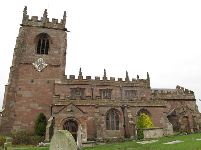
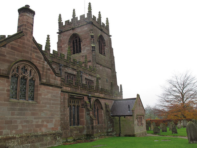
St Michael's Church, Marbury

St Michael's Church, also known as St Michael and All Angels, stands on a small rise overlooking Big Mere in the village of Marbury, Cheshire, England...

Marbury, Cheshire

Marbury is a small village located at SJ560457 in the civil parish of Marbury and District, formerly Marbury cum Quoisley, within the unitary authority...

Combermere Abbey

Combermere Abbey is a former monastery, later a country house, near Burleydam, between Nantwich, Cheshire and Whitchurch in Shropshire, England, located...

Quoisley Meres

Quoisley Meres refers to two meres, Quoisley Big Mere and Quoisley Little Mere, near the village of Marbury, in Cheshire, England. Glacial in origin, the...

Wirswall

Wirswall is a village and former civil parish, now in the parish of Marbury and District, in the unitary authority area of Cheshire East and the ceremonial...

Norbury, Cheshire

Norbury is a hamlet and former civil parish, now in the parish of Marbury and District, in the Cheshire East district, in the ceremonial county of Cheshire...

Broughall

Broughall is a village in Shropshire, England, situated about 1.5 miles east of Whitchurch, also the site of the nearest railway station. The village...

Nearby Amenities

Located within 500m of 52.998192,-2.6389388
Barrier: stile
Foot: yes
Lat/Long: 52.9946369/-2.6387872
Barrier: stile
Bicycle: no
Foot: yes
Material: wood
Stile: stepover
Lat/Long: 52.9972358/-2.6366897
Barrier: stile
Foot: yes
Lat/Long: 52.9979997/-2.6396585
Marbury Level Crossing
Railway: crossing
Lat/Long: 53.000087/-2.6423572
Marbury Level Crossing
Railway: crossing
Lat/Long: 53.0001125/-2.6424014
Barrier: stile
Foot: yes
Lat/Long: 53.0009495/-2.6437466
Power: pole
Lat/Long: 53.0016172/-2.634109
Power: pole
Lat/Long: 53.0017027/-2.6352194
Power: pole
Lat/Long: 53.0017608/-2.6365981
Power: pole
Lat/Long: 53.0015252/-2.6382101
Power: pole
Lat/Long: 53.0013202/-2.6395994
Power: pole
Lat/Long: 52.9998513/-2.6403451
Power: pole
Lat/Long: 52.9990038/-2.640785
Power: pole
Lat/Long: 52.9982548/-2.6411578
Power: pole
Lat/Long: 52.9973718/-2.6416057
Power: pole
Lat/Long: 52.9958995/-2.6423246
Power: pole
Lat/Long: 52.9950697/-2.642743
Addr Housename: The Bottle Lodge
Lat/Long: 52.9978104/-2.6374448
Addr Housename: Hollyhurst Cottages
Lat/Long: 52.9987098/-2.6370339
Addr Housename: Corner House
Lat/Long: 52.9981589/-2.6385937
The data included in this document is from www.openstreetmap.org. The data is made available under ODbL.

Have you been to Hollyhurst?

Leave your review of Hollyhurst below (or comments, questions and feedback).