Hollybed Street

Settlement in Worcestershire Malvern Hills

England

Hollybed Street

A438 at Hollybush
A438 at Hollybush Credit: Peter Whatley

Hollybed Street is a charming residential road located in Worcestershire, a county in the West Midlands region of England. Situated in a quiet and picturesque neighborhood, this street is known for its peaceful ambiance and friendly community.

The houses on Hollybed Street are predominantly traditional in style, with many of them featuring beautiful brickwork and well-maintained gardens. The properties vary in size, offering a mix of detached and semi-detached houses, as well as a few terraced homes. The street is well-kept, with neatly paved sidewalks and plenty of street parking available.

Residents of Hollybed Street enjoy the convenience of having several amenities within easy reach. Just a short walk away, there are local shops, including grocery stores, cafes, and small boutiques. Additionally, there are several parks and green spaces nearby, providing opportunities for outdoor activities and leisurely walks.

Transportation options in the area are excellent, with good access to major roads and public transportation links. The nearest train station is located within a reasonable distance, providing connections to other parts of Worcestershire and beyond.

Families are attracted to Hollybed Street due to its proximity to well-regarded schools, both primary and secondary, making it an ideal location for those with children.

Overall, Hollybed Street offers a peaceful and family-friendly environment with easy access to amenities, making it an appealing place to live in Worcestershire.

If you have any feedback on the listing, please let us know in the comments section below.

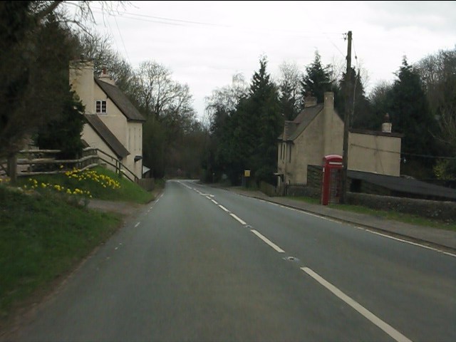
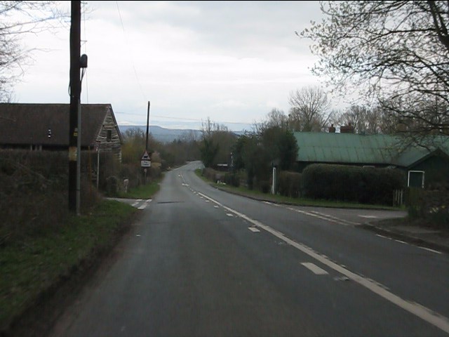
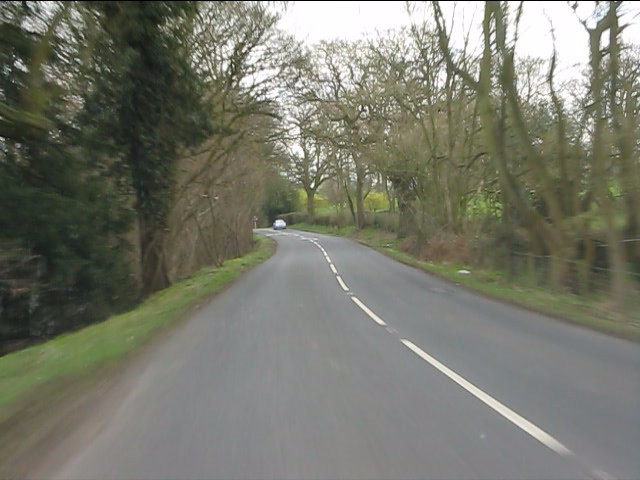
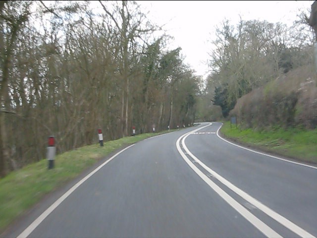
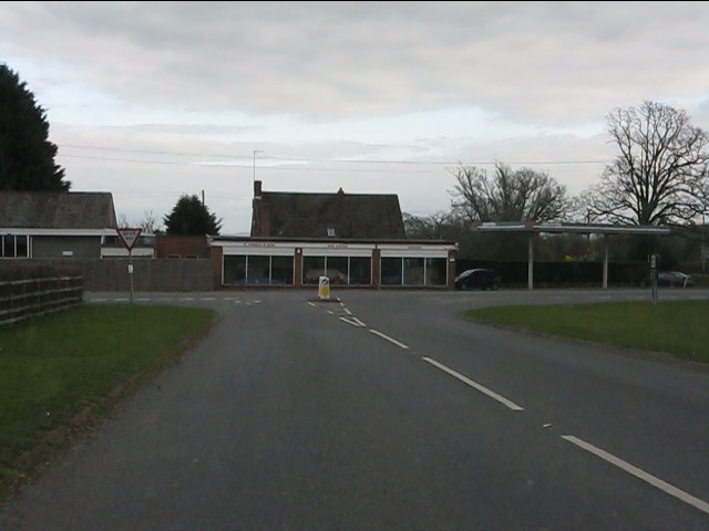
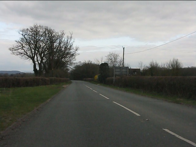
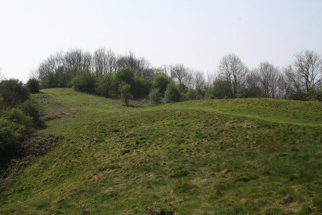
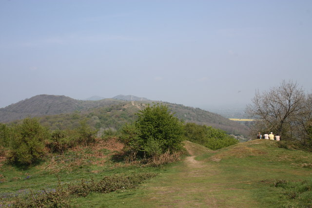
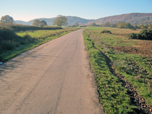
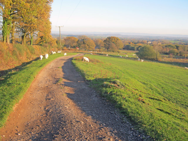
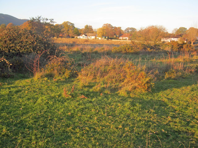
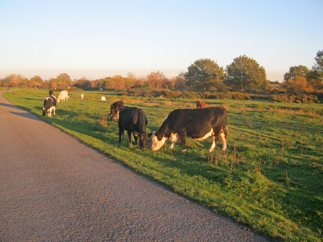
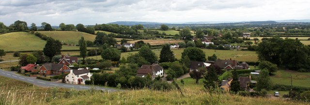
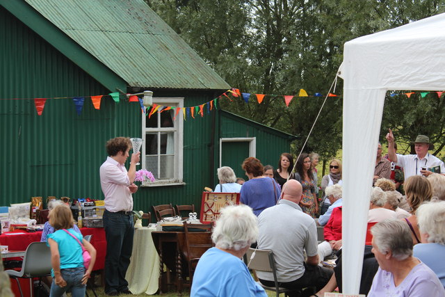
Hollybed Street Images

Images are sourced within 2km of 52.035013/-2.3224665 or Grid Reference SO7737. Thanks to Geograph Open Source API. All images are credited.

A438 at Hollybush
A438 at Hollybush
Hollybush crossroads, A438
A438 near Coombegreen Common
A438 descends toward Rye Cross
A438 approaching Rye Cross The building houses G.Windle & Sons.  A filling station was also once operated here, but is now disused, though the canopy remains.
A438 approaching Rye Cross
The building houses G.Windle & Sons. A filling station was also once operated here, but is now disused, though the canopy remains.
A438 heading east from Rye Cross
Hollybush Hill It can be quite hard to imagine that 2000 years ago this quiet spot was part of a busy town - the Midsummer Hill iron-age hill-fort. 
Excavations in the late 1960s by Stan Stanford showed the area full of small building plots. 
Each plot had been reused time and time again over the centuries suggesting continuous occupation. 
The buildings used four posts arranged in a square - not at all like the round huts usually depicted for this era.
Evidence for similar square buildings have been found in other so called "hill-forts" in Herefordshire and the Welsh Marches
Hollybush Hill
It can be quite hard to imagine that 2000 years ago this quiet spot was part of a busy town - the Midsummer Hill iron-age hill-fort. Excavations in the late 1960s by Stan Stanford showed the area full of small building plots. Each plot had been reused time and time again over the centuries suggesting continuous occupation. The buildings used four posts arranged in a square - not at all like the round huts usually depicted for this era. Evidence for similar square buildings have been found in other so called "hill-forts" in Herefordshire and the Welsh Marches
North gate of Midsummer Hill iron-age  hill-fort Looking north along the Malvern Hills.
Another hill-fort occupies Herefordshire Beacon on the left.
Straight ahead are three overlapping peaks of Pinnacle Hill (north and south) and Black Hill.
In the far distance one can just make out Worcestershire Beacon in the haze.
North gate of Midsummer Hill iron-age hill-fort
Looking north along the Malvern Hills. Another hill-fort occupies Herefordshire Beacon on the left. Straight ahead are three overlapping peaks of Pinnacle Hill (north and south) and Black Hill. In the far distance one can just make out Worcestershire Beacon in the haze.
Lane across Castlemorton Common Long straight lane heading towards Hollybush. Popular route for weekend picnics as it is possible to park on many of the green spaces.
Lane across Castlemorton Common
Long straight lane heading towards Hollybush. Popular route for weekend picnics as it is possible to park on many of the green spaces.
Track across Castlemorton Common Heading east towards Bowling Green.
Track across Castlemorton Common
Heading east towards Bowling Green.
Scrubland at Castlemorton Common View east with Bredon Hill just visible on the horizon. The evening sun highlights the mixture of rough grazing, gorse and scrub in this more inaccessible part of the common.
Scrubland at Castlemorton Common
View east with Bredon Hill just visible on the horizon. The evening sun highlights the mixture of rough grazing, gorse and scrub in this more inaccessible part of the common.
West side of Castlemorton Common Looking north to the cottages on Hancock's Lane lit up by the evening sun.
West side of Castlemorton Common
Looking north to the cottages on Hancock's Lane lit up by the evening sun.
Cattle grazing near Hancocks Lane Cattle are always to be found somewhere on the common where commoners exercise their grazing rights.
Cattle grazing near Hancocks Lane
Cattle are always to be found somewhere on the common where commoners exercise their grazing rights.
Coombegreen The view from Wendy Woodward's seat atop the hillock on Coombegreen Common.
Looking out to the houses on the B4208 and those on Birts Street.
<a href="https://www.geograph.org.uk/photo/2511815">SO7736 : Wendy Woodward's seat, Coombegreen Common</a>
Coombegreen
The view from Wendy Woodward's seat atop the hillock on Coombegreen Common. Looking out to the houses on the B4208 and those on Birts Street. SO7736 : Wendy Woodward's seat, Coombegreen Common
Wendy Woodward's seat, Coombegreen Common The seat is at the front of the hill overlooking the Severn Plain.
Behind are several commemorative trees including one dating back to 1937 for the King's Coronation.
<a href="https://www.geograph.org.uk/photo/2511845">SO7736 : Plaque on Wendy Woodward's seat, Coombe Green</a>
<a href="https://www.geograph.org.uk/photo/2511865">SO7736 : Wendy Woodward's seat, Coombe Green Common</a>
<a href="https://www.geograph.org.uk/photo/2511797">SO7736 : Coombegreen</a>
Wendy Woodward's seat, Coombegreen Common
The seat is at the front of the hill overlooking the Severn Plain. Behind are several commemorative trees including one dating back to 1937 for the King's Coronation. SO7736 : Plaque on Wendy Woodward's seat, Coombe Green SO7736 : Wendy Woodward's seat, Coombe Green Common SO7736 : Coombegreen
Plaque on Wendy Woodward's seat, Coombe Green In loving memory of
Wendy Woodward
Died 3 March 2004 aged 90 years
Enjoy the view as she did
<a href="https://www.geograph.org.uk/photo/2511815">SO7736 : Wendy Woodward's seat, Coombegreen Common</a>
Plaque on Wendy Woodward's seat, Coombe Green
In loving memory of Wendy Woodward Died 3 March 2004 aged 90 years Enjoy the view as she did SO7736 : Wendy Woodward's seat, Coombegreen Common
Wendy Woodward's seat, Coombe Green Common At the front of the hill overlooking the Severn Plain.
<a href="https://www.geograph.org.uk/photo/2511815">SO7736 : Wendy Woodward's seat, Coombegreen Common</a>
Wendy Woodward's seat, Coombe Green Common
At the front of the hill overlooking the Severn Plain. SO7736 : Wendy Woodward's seat, Coombegreen Common
Hollybush Fete, Hollybush Church Hall, 2011 An auction of donated items too good for the bric-a-brac stall is taking place.
On the other side of the hall the skittles competition was taking place.
On this side books, CDs, a raffle.
Inside the hall, Cakes, jams, produce (I bought a box of quinces for £1!) clothes, and the bric-a-brac stall.
Scrummy cakes and cups of tea served in the adjoining room.
Hollybush Fete, Hollybush Church Hall, 2011
An auction of donated items too good for the bric-a-brac stall is taking place. On the other side of the hall the skittles competition was taking place. On this side books, CDs, a raffle. Inside the hall, Cakes, jams, produce (I bought a box of quinces for £1!) clothes, and the bric-a-brac stall. Scrummy cakes and cups of tea served in the adjoining room.
Show me another place!

Hollybed Street is located at Grid Ref: SO7737 (Lat: 52.035013, Lng: -2.3224665)

Administrative County: Worcestershire

District: Malvern Hills

Police Authority: West Merica

What 3 Words

///shorthand.rooting.doted. Near Ledbury, Herefordshire

Related Wikis

Hollybed Farm Meadows

Hollybed Farm Meadows is nature reserve of the Worcestershire Wildlife Trust, about 1 mile (1.6 km) west of the village of Castlemorton, in Worcestershire...

Birts Street

Birts Street is a village in Worcestershire, England.

Hollybush, Worcestershire

Hollybush is a small village in Worcestershire at the southern end of the Malvern Hills and close to the borders of both Gloucestershire and Herefordshire...

Castlemorton

Castlemorton is a village and civil parish close to Malvern in the Malvern Hills District in the county of Worcestershire, England. It consists of a...

Castlemorton Common Festival

The Castlemorton Common Festival was a week-long free festival and rave held in the Malvern Hills near Malvern, Worcestershire, England between 22 and...

Rye Cross

Rye Cross is a hamlet in south-west Worcestershire 1 mile west of Castlemorton, 0.5 miles east of Berrow and 1 mile south of Hollybush, near the borders...
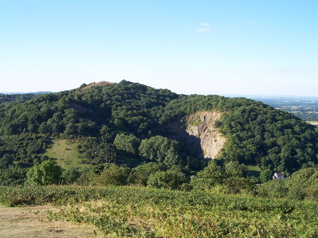
Midsummer Hill

Midsummer Hill is situated in the range of Malvern Hills that runs approximately 13 kilometres (8 mi) north-south along the Herefordshire-Worcestershire...

Hollybush Hill

Hollybush Hill is situated in the range of Malvern Hills that runs approximately 13 kilometres (8 mi) north–south along the Herefordshire–Worcestershire...

Nearby Amenities

Located within 500m of 52.035013,-2.3224665
Crossing
Lat/Long: 52.0342246/-2.3159995
Fixme: side road has sign saying "Golden Valley". Not clear whether this is name of road or of hamlet at its terminus.
Lat/Long: 52.0324973/-2.3205821
Golden Valley Turn
Naptan AtcoCode: 2000G645004
Naptan Bearing: NE
Naptan BusStopType: CUS
Naptan CommonName: Golden Valley Turn
Naptan Crossing: Golden Vallley Lane
Naptan Indicator: opp
Naptan NaptanCode: wocdwjda
Naptan Street: Gloucester Road
Naptan Verified: no
Source: naptan_import
Lat/Long: 52.0324098/-2.3204912
Hollybed Turn
Naptan AtcoCode: 2000G645005
Naptan Bearing: SW
Naptan BusStopType: CUS
Naptan CommonName: Hollybed Turn
Naptan Crossing: Hollybed Lane
Naptan Indicator: opp
Naptan NaptanCode: wocdwjdg
Naptan Street: Gloucester Road
Naptan Verified: no
Source: naptan_import
Lat/Long: 52.0337597/-2.3166961
Post Box
Collection Plate: CP7
Collection Times: Mo-Fr 16:00; Sa 07:00
Historic Operator: Post Office
Post Box Mounting: telegraph_pole
Post Box Type: lamp
Ref: WR13 123
Royal Cypher: EIIR
Royal Cypher Wikidata: Q33102113
Source: survey;bing
Lat/Long: 52.0325658/-2.3206928
Barrier: stile
Lat/Long: 52.0359398/-2.3179205
Barrier: stile
Lat/Long: 52.0344612/-2.3193292
Barrier: stile
Lat/Long: 52.0379064/-2.3228858
Milton Cottage
Power: pole
Transformer: distribution
Voltage Primary: 11000
Lat/Long: 52.0385946/-2.3241422
Power: pole
Lat/Long: 52.0390739/-2.3193209
Power: pole
Lat/Long: 52.0376645/-2.3167359
Location Transition: yes
Power: pole
Lat/Long: 52.0341174/-2.318887
Hollybeds Castlemorton
Power: pole
Transformer: distribution
Voltage Primary: 11000
Lat/Long: 52.0350204/-2.321471
Power: pole
Lat/Long: 52.0352357/-2.3205446
Power: pole
Lat/Long: 52.0348756/-2.3191184
Masons Farm
Power: pole
Transformer: distribution
Voltage Primary: 11000
Lat/Long: 52.0338365/-2.3174447
Power: pole
Lat/Long: 52.0343657/-2.3175795
Power: pole
Lat/Long: 52.0346557/-2.3182547
Power: pole
Lat/Long: 52.0355166/-2.3173602
Power: pole
Lat/Long: 52.0363763/-2.3170249
Power: pole
Lat/Long: 52.0369736/-2.3168828
Coombe Green Road
Power: pole
Transformer: distribution
Voltage Primary: 11000
Lat/Long: 52.0316843/-2.3226555
Power: pole
Lat/Long: 52.0311853/-2.3236828
Man Made: milk_churn_stand
Wikimedia Commons: File:Milk churns on stand, Hollybed Street - geograph.org.uk - 833701.jpg
Lat/Long: 52.0347504/-2.3209922
The data included in this document is from www.openstreetmap.org. The data is made available under ODbL.

Have you been to Hollybed Street?

Leave your review of Hollybed Street below (or comments, questions and feedback).