Hollington
Settlement in Bedfordshire
England
Hollington
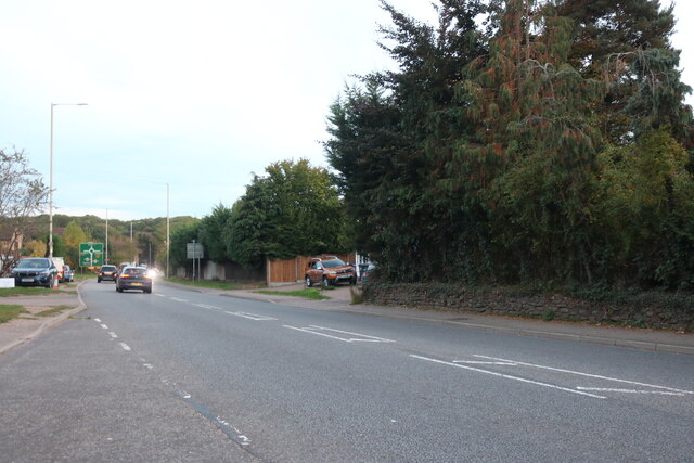
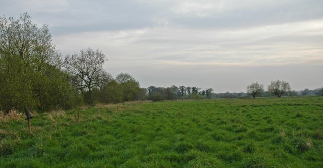
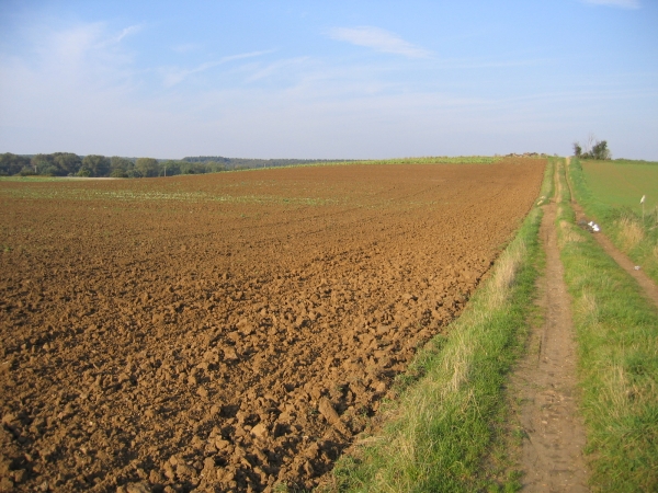
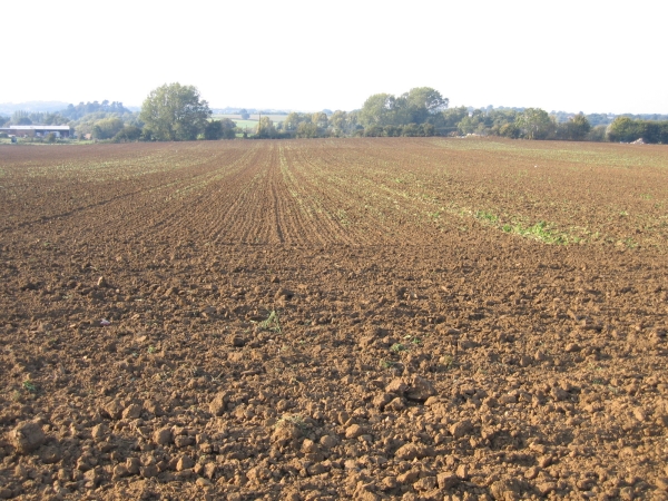
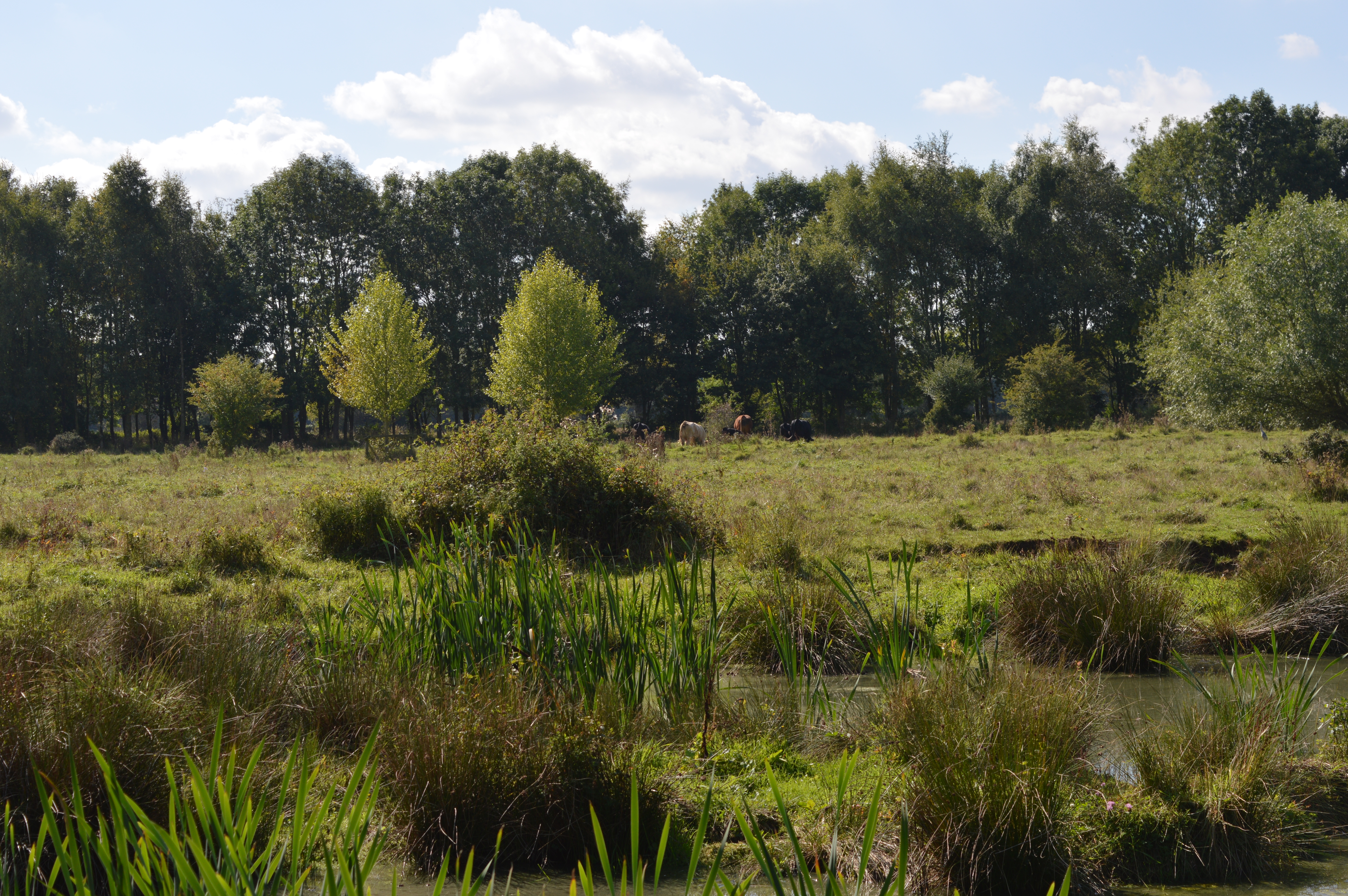
Hollington is a small village located in the county of Bedfordshire, England. Situated approximately 3 miles southwest of the town of Bedford, it falls within the civil parish of Clapham and is part of the Borough of Bedford. The village is nestled in a picturesque rural setting, surrounded by rolling countryside and farmland.
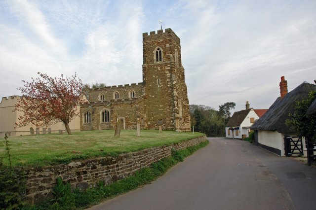
Hollington is known for its charming and tranquil atmosphere, making it an ideal place for those seeking a peaceful retreat away from the hustle and bustle of city life. The village is primarily residential, consisting of a mix of traditional cottages, modern houses, and a few local amenities.
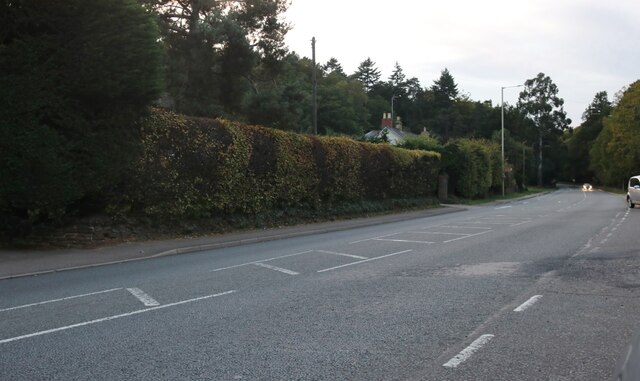
The village is well-connected to the nearby towns and cities, with easy access to major roads such as the A6 and A428. This makes it convenient for residents to commute to work or travel to neighboring areas. Additionally, Hollington benefits from a reliable public transportation system, with regular bus services connecting it to Bedford and other nearby villages.
Despite its small size, Hollington boasts a strong sense of community spirit. The village is home to a local primary school, providing education for young children within the area. There are also several community groups and social events that take place throughout the year, fostering a close-knit community atmosphere.
For those who enjoy outdoor activities, Hollington offers plenty of opportunities. The surrounding countryside provides beautiful walking and cycling routes, allowing residents and visitors to explore the natural beauty of the area.
If you have any feedback on the listing, please let us know in the comments section below.
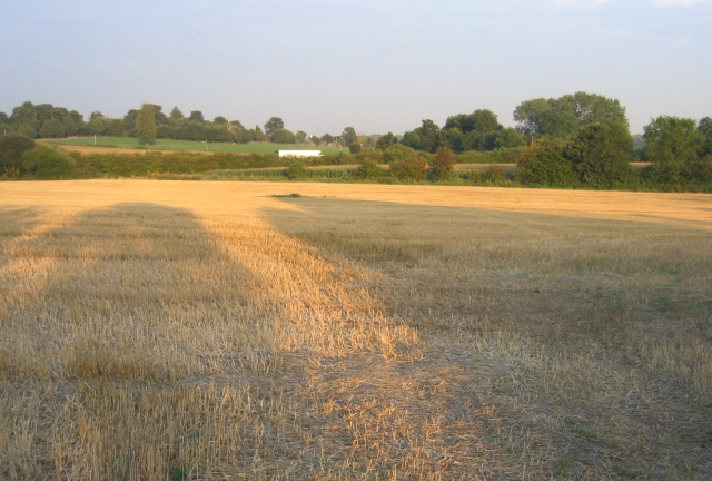
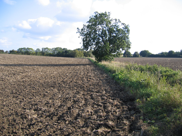
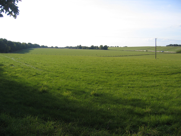
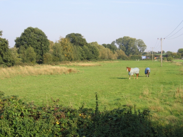
Hollington Images
Images are sourced within 2km of 52.017339/-0.44915572 or Grid Reference TL0636. Thanks to Geograph Open Source API. All images are credited.
Hollington is located at Grid Ref: TL0636 (Lat: 52.017339, Lng: -0.44915572)
Unitary Authority: Central Bedfordshire
Police Authority: Bedfordshire
What 3 Words
///gilding.delight.surpasses. Near Silsoe, Bedfordshire
Nearby Locations
Related Wikis

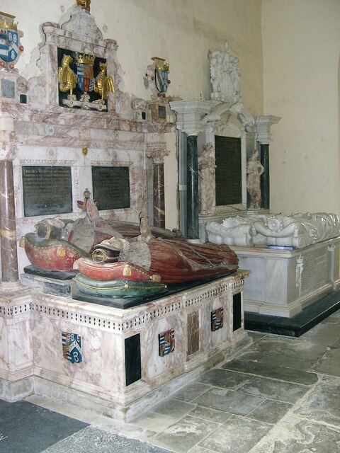
De Grey Mausoleum
The de Grey Mausoleum in Flitton, Bedfordshire, England, is one of the largest sepulchral chapels in the country. The mausoleum contains over twenty monuments...

Flitton
Flitton (Flichtam, Fllite, Flute) is a village and former civil parish, now in the parish of Flitton and Greenfield, in the Central Bedfordshire district...
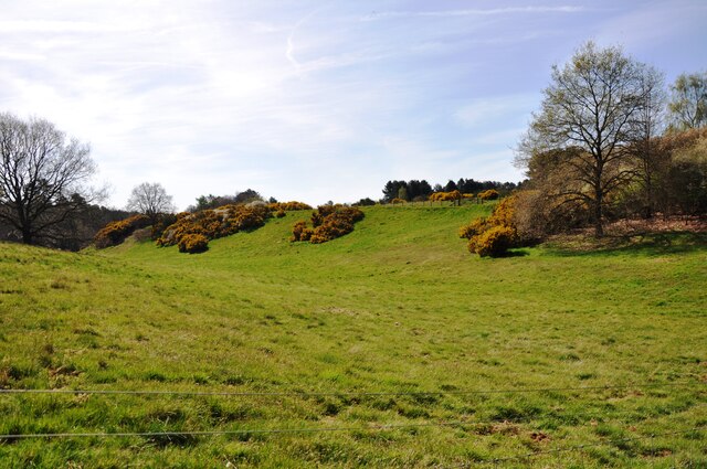
Flitton Moor
Flitton Moor is a 6.9 hectare Local Nature Reserve and County Wildlife Site in Flitton in Bedfordshire. It is owned by Central Bedfordshire Council and...

Maulden Church Meadow
Maulden Church Meadow is a 4.1-hectare (10-acre) biological Site of Special Scientific Interest in Maulden in Bedfordshire. It was notified in 1987 under...
Nearby Amenities
Located within 500m of 52.017339,-0.44915572Have you been to Hollington?
Leave your review of Hollington below (or comments, questions and feedback).