Holdbrook
Settlement in Hertfordshire Broxbourne
England
Holdbrook

Holdbrook is a small village located in the county of Hertfordshire, England. Situated near the town of Ware, it is part of the East Hertfordshire district. The village is surrounded by picturesque countryside, offering residents and visitors a peaceful and scenic atmosphere.
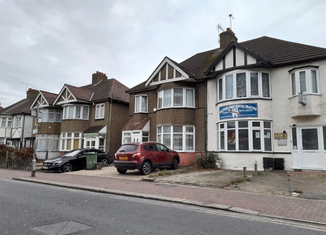
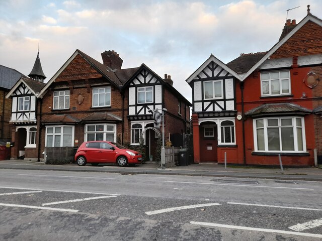
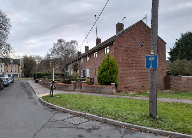
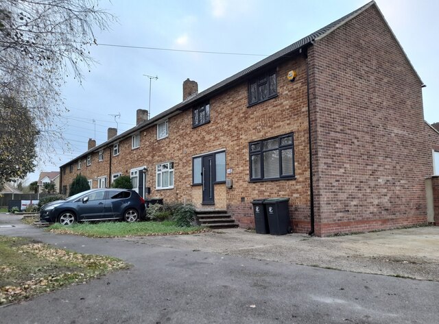
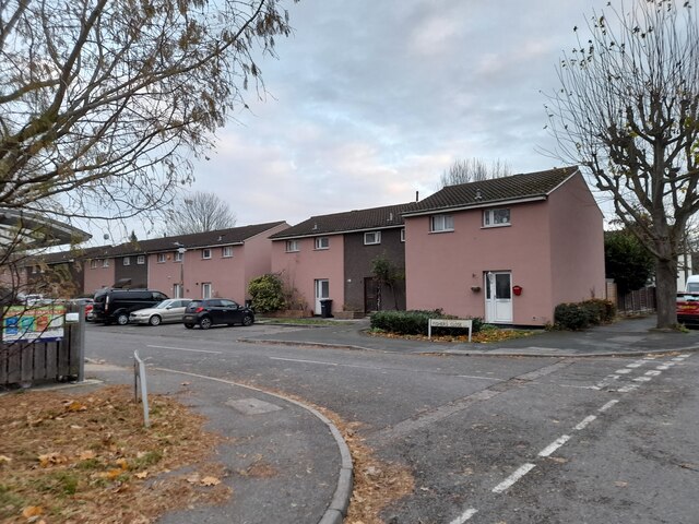
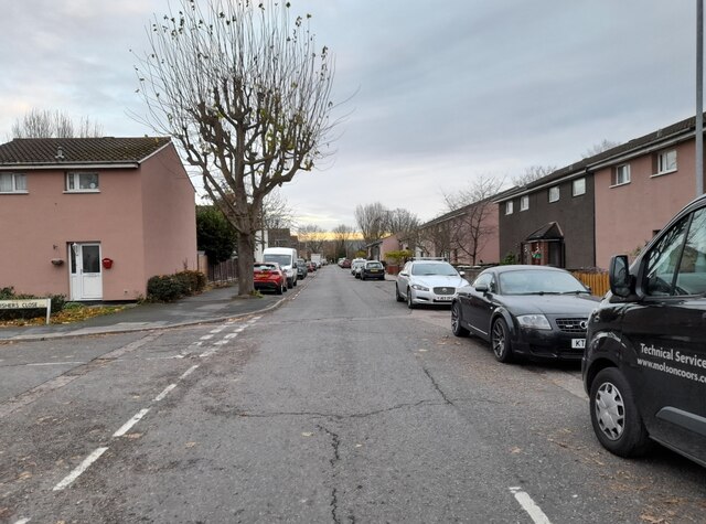
Holdbrook is characterized by its charming rural character, with a mix of traditional and modern houses dotted throughout the area. The village is home to a close-knit community, fostering a friendly and welcoming environment. Residents benefit from a range of amenities, including a village hall, a local pub, and a primary school.
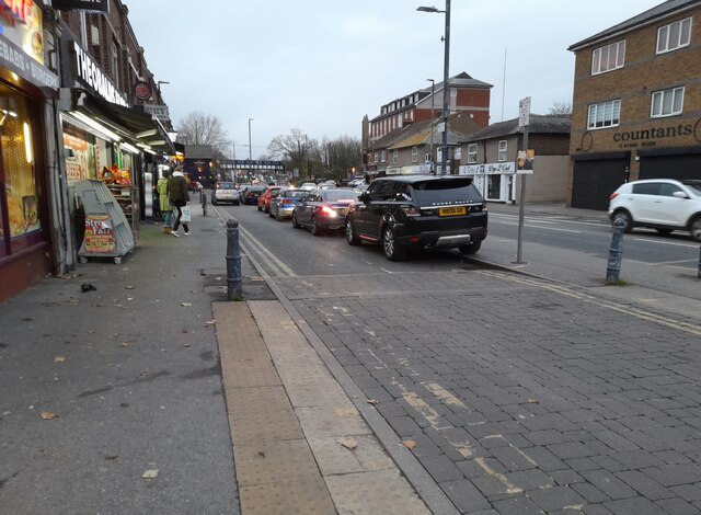
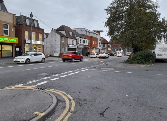
The village's proximity to Ware provides easy access to a wider range of services and facilities, including supermarkets, shops, and healthcare facilities. Holdbrook also benefits from excellent transport links, with the nearby A10 road connecting it to major towns and cities in the region. Additionally, the village has good public transport connections, with regular bus services running to Ware and other nearby towns.
Nature enthusiasts can explore the beautiful surrounding countryside, with numerous footpaths and walking trails available to explore. The village is also located close to the River Lea, offering opportunities for boating and fishing.
In summary, Holdbrook offers a tranquil and idyllic setting for its residents, with its rural charm and access to convenient amenities. Its location in Hertfordshire provides a perfect balance between a peaceful village lifestyle and easy access to the wider region.
If you have any feedback on the listing, please let us know in the comments section below.
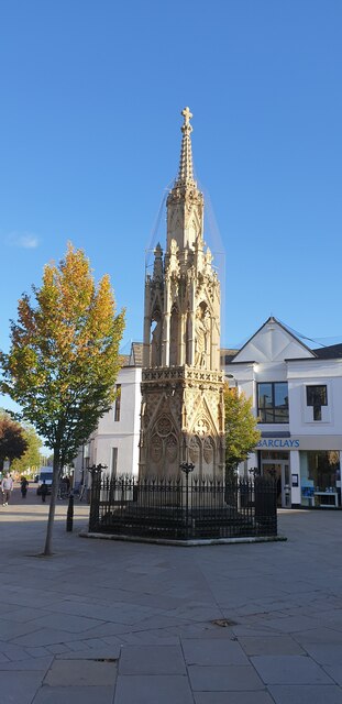
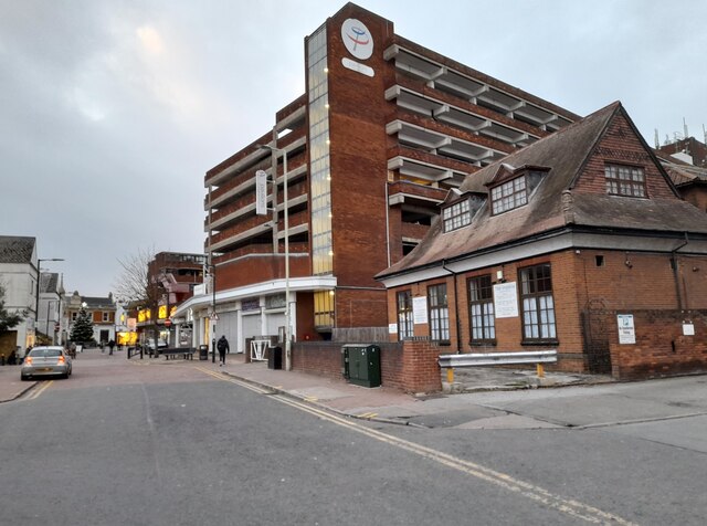
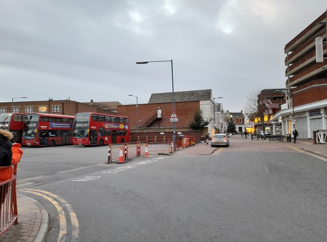
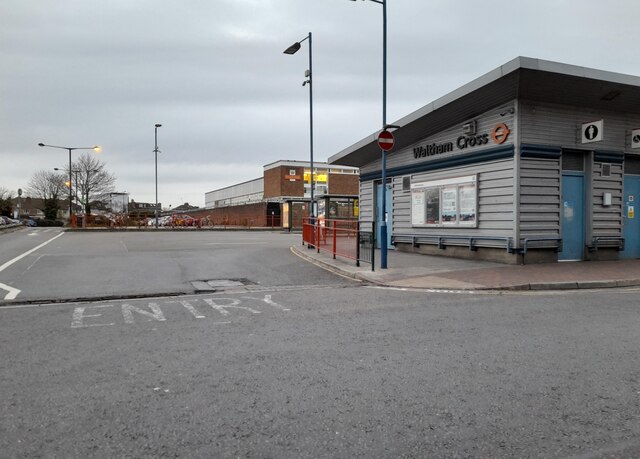
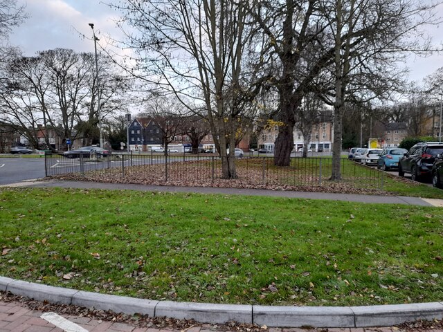
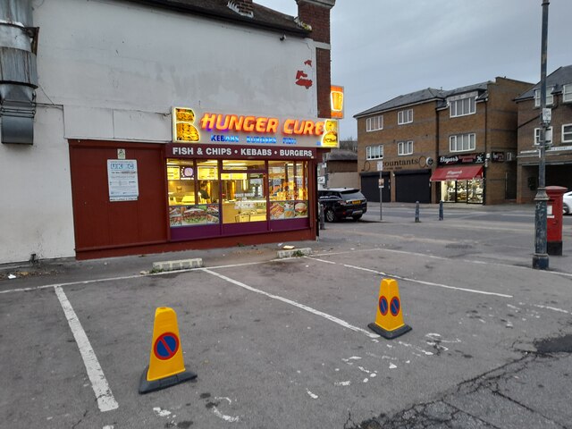
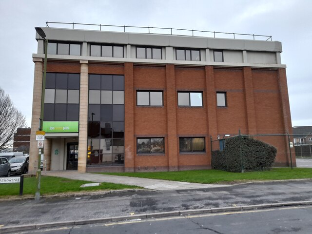
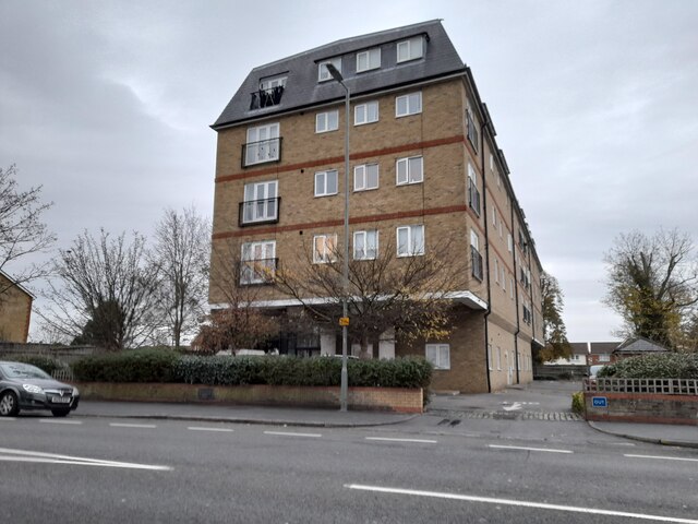
Holdbrook Images
Images are sourced within 2km of 51.683743/-0.01834087 or Grid Reference TL3700. Thanks to Geograph Open Source API. All images are credited.

Holdbrook is located at Grid Ref: TL3700 (Lat: 51.683743, Lng: -0.01834087)
Administrative County: Hertfordshire
District: Broxbourne
Police Authority: Hertfordshire
What 3 Words
///worry.sheep.square. Near Waltham Abbey, Essex
Nearby Locations
Related Wikis

Small River Lea
The Small River Lea is a minor tributary of the River Lea, which flows through the Lee Valley Park between Cheshunt and Enfield Lock. It forms part of...

Canoeing at the 2012 Summer Olympics
Canoeing at the 2012 Summer Olympics in London were contested in two main disciplines: canoe slalom, from 29 July to 2 August, and canoe sprint, from 6...

Lee Valley White Water Centre
Lee Valley White Water Centre (previously known as Broxbourne White Water Canoe Centre) is a white-water slalom centre in the Middle Lea Valley, in the...

Waltham Town Lock
Waltham Town Lock (No 11) is a lock on the River Lee Navigation at Waltham Cross, Hertfordshire. The lock is located in the River Lee Country Park which...
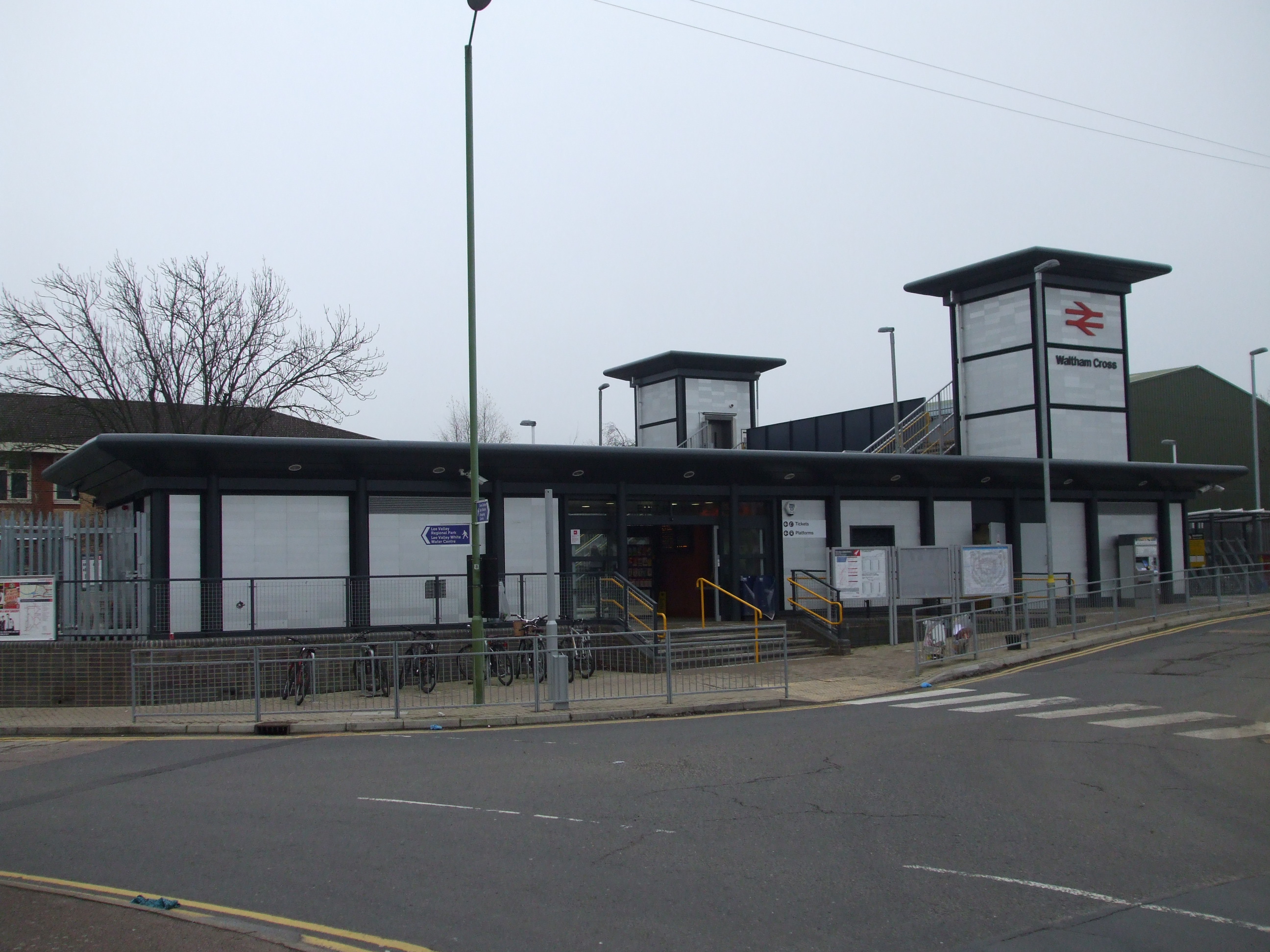
Waltham Cross railway station
Waltham Cross railway station is on the West Anglia Main Line, serving the suburban town of Waltham Cross in Hertfordshire, and the neighbouring Waltham...

Cobbins Brook
Cobbins Brook is a minor tributary of the River Lea. It forms to the north of Epping, Essex and flows past Epping Upland, Waltham Abbey until it joins...

Rammey Marsh Lock
Rammey Marsh Lock (No 12) is a lock on the River Lee Navigation at Enfield, London, England. The area adjacent to the lock is known as Rammey Marsh and...
Lea Valley
The Lea Valley, the valley of the River Lea, has been used as a transport corridor, a source of sand and gravel, an industrial area, a water supply for...
Nearby Amenities
Located within 500m of 51.683743,-0.01834087Have you been to Holdbrook?
Leave your review of Holdbrook below (or comments, questions and feedback).