Holbeach St Johns

Settlement in Lincolnshire South Holland

England

Holbeach St Johns

Fenland Airfield
Fenland Airfield Credit: Jonathan Thacker

Holbeach St Johns is a small village located in the southern part of Lincolnshire, England. It lies approximately 5 miles east of the town of Spalding and is situated within the district of South Holland.

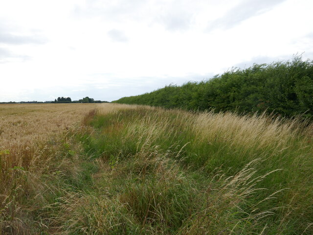
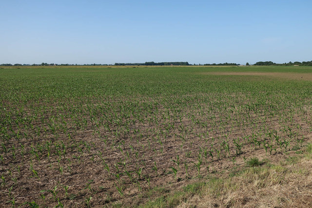
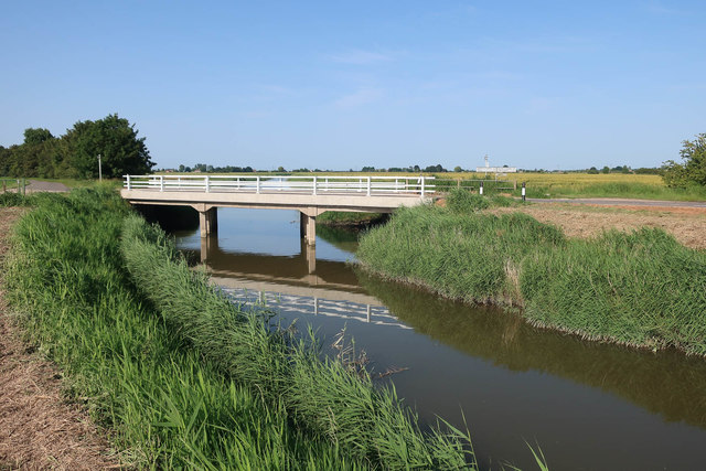
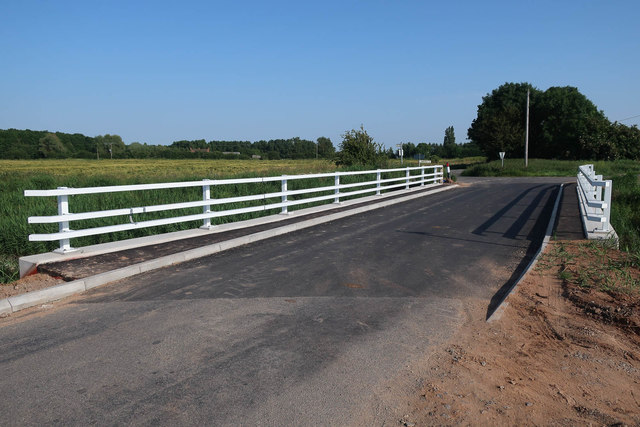
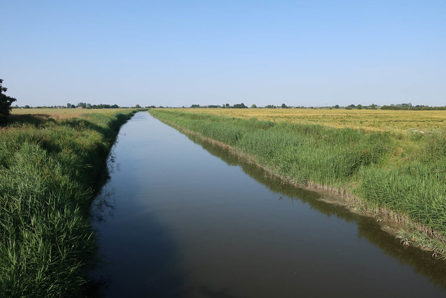
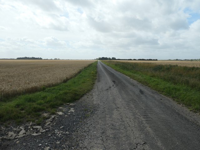
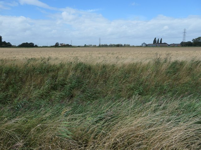
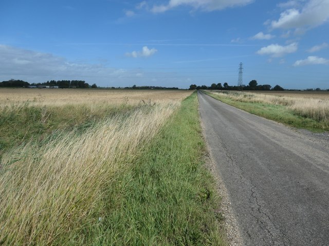
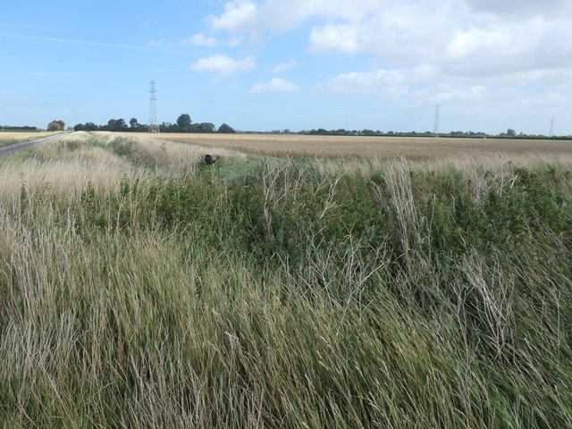
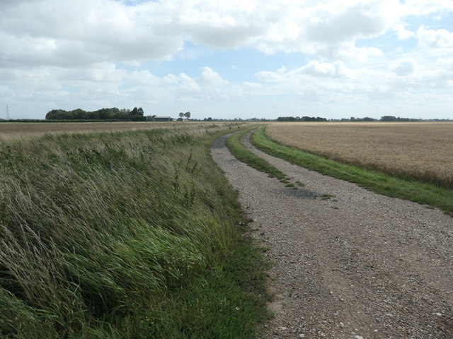
With a population of around 500 residents, Holbeach St Johns has a close-knit community and a strong sense of rural charm. The village is surrounded by picturesque farmland, typical of the Lincolnshire countryside, which adds to its scenic beauty.

Historically, Holbeach St Johns was an agricultural settlement, and this heritage is still evident today. The village has a number of traditional farmhouses and barns, which provide a glimpse into its past.

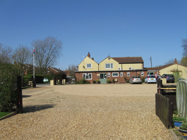
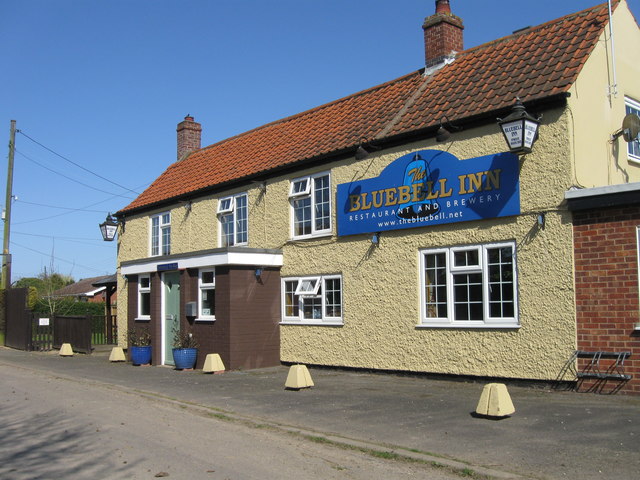
There are several amenities within the village, including a local pub, a primary school, and a village hall, which hosts various community events throughout the year. Additionally, the nearby town of Spalding offers a wider range of amenities and services, including shopping centers, supermarkets, and healthcare facilities.

Holbeach St Johns is well-connected by road, with the A17 passing nearby, providing easy access to neighboring towns and cities. The village also benefits from regular bus services, allowing residents to travel to nearby areas without any hassle.

Overall, Holbeach St Johns is a tranquil and idyllic village, perfect for those seeking a peaceful rural lifestyle, while still being within easy reach of larger towns and cities.

If you have any feedback on the listing, please let us know in the comments section below.

Holbeach St Johns Images

Images are sourced within 2km of 52.74621/-0.003248817 or Grid Reference TF3418. Thanks to Geograph Open Source API. All images are credited.

Fenland Airfield
Fenland Airfield
Barley field and hedge off Cranesgate South
The Blue Bell Inn
The Blue Bell Inn
The Blue Bell Inn
The Blue Bell Inn
Fenland Airfield
Fenland Airfield
Fenland Airfield
Fenland Airfield
Miles Gemini at Fenland Airfield's Curry Fly-in, June 2019
Leopard Moth at Fenland Airfield's Curry Fly-in, June 2019
Miles Gemini at Fenland Airfield's Curry Fly-in, June 2019 (2)
Maize field Maize has a high yield, but starts growing very late, leaving the soil exposed for a long time.
Maize field
Maize has a high yield, but starts growing very late, leaving the soil exposed for a long time.
Leedsgate Bridge over South Holland Main Drain With considerable work since <a href="https://www.geograph.org.uk/photo/3569978">TF3617 : Leedsgate Bridge</a>.
Leedsgate Bridge over South Holland Main Drain
With considerable work since TF3617 : Leedsgate Bridge.
Leedsgate Bridge With improved barriers since <a href="https://www.geograph.org.uk/photo/2226413">TF3617 : View across Leedsgate Bridge</a>
Leedsgate Bridge
With improved barriers since TF3617 : View across Leedsgate Bridge
South Holland Main Drain
Fox Headings, looking south A minor road south-west of Whaplode St Catherine. It connects the B1165 with Jekil's Bank.
Fox Headings, looking south
A minor road south-west of Whaplode St Catherine. It connects the B1165 with Jekil's Bank.
Fenland field, west side of Fox Headings About 3 metres above sea level.
Fenland field, west side of Fox Headings
About 3 metres above sea level.
Fox Headings, looking north A minor road south-west of Whaplode St Catherine. It connects the B1165 with Jekil's Bank.
Fox Headings, looking north
A minor road south-west of Whaplode St Catherine. It connects the B1165 with Jekil's Bank.
Drain on the east side of Fox Headings Drains are the seams in South Holland's patchwork of fields.
Drain on the east side of Fox Headings
Drains are the seams in South Holland's patchwork of fields.
Track heading east off Fox Headings Going to Grange Farm, on Crane's Gate.
Track heading east off Fox Headings
Going to Grange Farm, on Crane's Gate.
Show me another place!

Holbeach St Johns is located at Grid Ref: TF3418 (Lat: 52.74621, Lng: -0.003248817)

Division: Parts of Holland

Administrative County: Lincolnshire

District: South Holland

Police Authority: Lincolnshire

What 3 Words

///whirlpool.truly.victory. Near Moulton Chapel, Lincolnshire

Nearby Locations

Holbeach St Johns

Related Wikis

Holbeach St Johns

Holbeach St Johns is a small village in South Holland district of Lincolnshire, England. It is situated approximately 4 miles (6 km) south from the town...
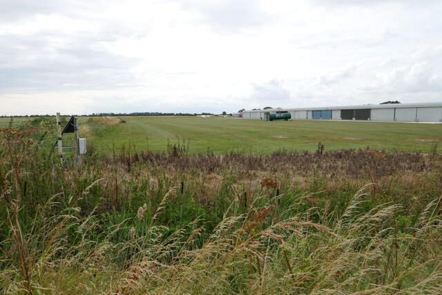
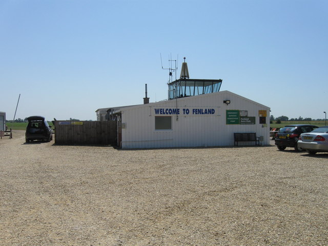
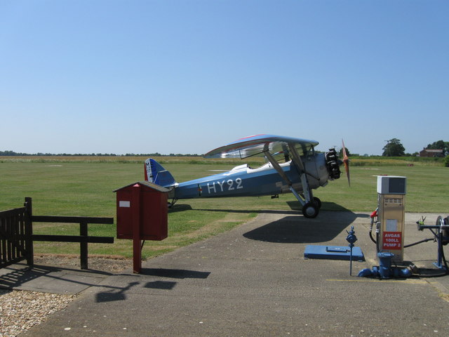
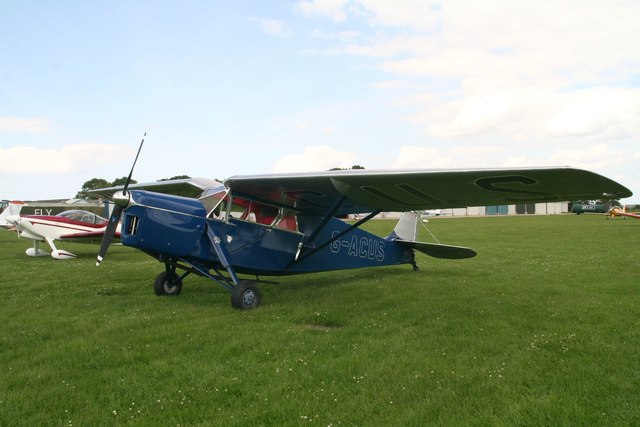
Fenland Airfield

Fenland Airfield or Fenland Aerodrome (ICAO: EGCL) is located 6 nautical miles (11 km; 6.9 mi) southeast of the town Spalding near the small village of...

Elloes

Elloes was a local justice area (LJA) and former petty sessional division in Lincolnshire, England. It was formed in 1990 by a merger of the former East...

Holbeach Fen

Holbeach Fen is a fenland settlement and area in the South Holland district of southern Lincolnshire, England. It is 3 miles (5 km) south from Holbeach...

Nearby Amenities

Located within 500m of 52.74621,-0.003248817
Bus Stop
Plough Inn
Bench: no
Bin: no
Lit: no
Naptan AtcoCode: 270000009658
Naptan Bearing: NE
Naptan CommonName: Plough Inn
Naptan Indicator: opp
Naptan Landmark: Plough Inn
Naptan NaptanCode: linjdmwa
Naptan Street: Jekyl's Bank
Naptan Verified: no
Shelter: no
Source: naptan_import
Lat/Long: 52.7461866/-0.0036951
Bus Stop
Plough Inn
Bench: no
Bin: no
Lit: no
Naptan AtcoCode: 2700LHSJP352
Naptan Bearing: SW
Naptan CommonName: Plough Inn
Naptan Indicator: adj
Naptan Landmark: Plough Inn
Naptan Street: Jekyl's Bank
Naptan Verified: no
Shelter: no
Source: naptan_import
Lat/Long: 52.7461289/-0.0034755
Post Box
Collection Times: Mo-Fr 16:00; Sa 08:15
Description: 30m W of, and opposite, The Plough public house.
Near phone box/Jekils Bank,B1168 / Ravensgate,B1168 / Joys Bank;30m W of, and opposite, The Plough public house.
Near phone box/Jekils Bank,B1168 / Ravensgate,B1168 / Joys Bank//
Fixme: Road does not match bus stops
Post Box Type: lamp
Ref: PE12 75
Royal Cypher: EIIR
Lat/Long: 52.7461681/-0.0037333
Holbeach St Johns
Place: village
Wikidata: Q5878603
Lat/Long: 52.7463575/-0.0031433
Joy's Bank Farm
Place: farm
Source: Bing
Lat/Long: 52.7465077/-0.0012408
Lambert Farm
Place: farm
Source: Bing
Lat/Long: 52.7441021/-0.005677
Defibrillator
Access: yes
Defibrillator Location: outside Holbeach St. Johns Village Hall
Emergency: defibrillator
Indoor: no
Lat/Long: 52.7459279/-0.0020275
Man Made: flagpole
Lat/Long: 52.7460355/-0.0019573
The data included in this document is from www.openstreetmap.org. The data is made available under ODbL.

Have you been to Holbeach St Johns?

Leave your review of Holbeach St Johns below (or comments, questions and feedback).