Henley
Settlement in Somerset Mendip
England
Henley
Henley is a small village located in the county of Somerset, in southwestern England. Situated near the River Parrett, it is about 5 miles south of the town of Langport and 15 miles northwest of the city of Yeovil. With a population of around 500 people, Henley is known for its peaceful and rural atmosphere.
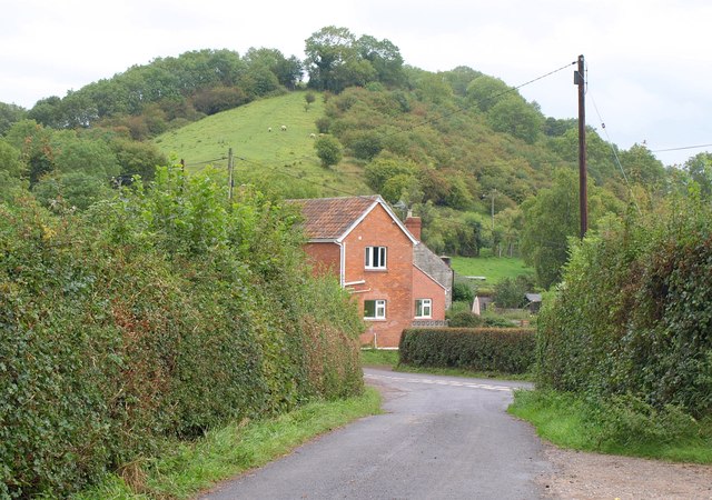
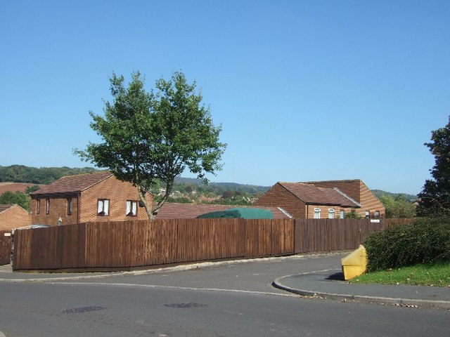
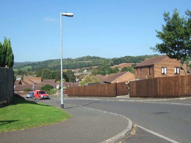
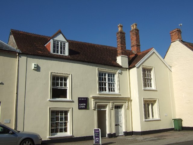
The village is characterized by charming, traditional English cottages and beautiful countryside landscapes. It is surrounded by rolling hills, farmlands, and meadows, creating a picturesque setting that attracts visitors and nature enthusiasts. The nearby River Parrett offers opportunities for fishing and boating, adding to the village's appeal.
Henley boasts a sense of community, with a local pub, village hall, and a primary school that serves both the village and the surrounding areas. Although small in size, the village has a strong community spirit, and various events and social gatherings are held throughout the year, bringing residents together.
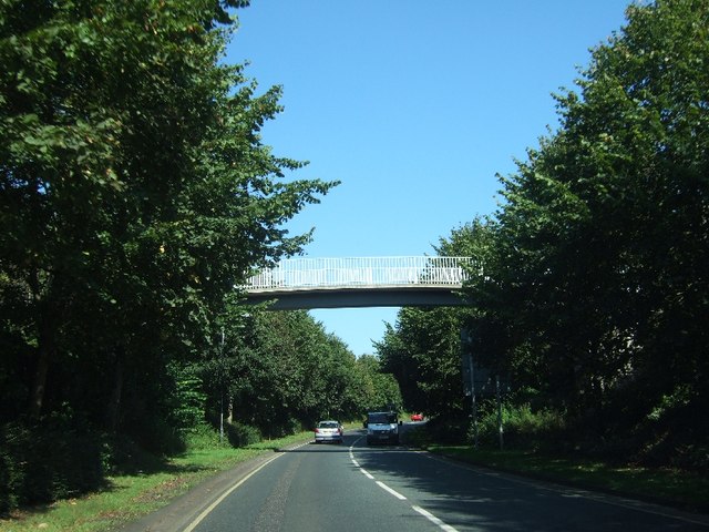
For amenities and services, residents of Henley have easy access to nearby towns, where they can find a range of shops, supermarkets, restaurants, and leisure facilities. Henley is also conveniently located close to major transport links, with the A303 road running nearby, providing connections to other parts of Somerset and beyond.
Overall, Henley offers a tranquil and idyllic lifestyle, surrounded by natural beauty and providing a close-knit community for its residents. It is a charming village that captures the essence of rural England.
If you have any feedback on the listing, please let us know in the comments section below.
Henley Images
Images are sourced within 2km of 51.211372/-2.6780553 or Grid Reference ST5246. Thanks to Geograph Open Source API. All images are credited.


Henley is located at Grid Ref: ST5246 (Lat: 51.211372, Lng: -2.6780553)
Administrative County: Somerset
District: Mendip
Police Authority: Avon and Somerset
What 3 Words
///residual.microchip.brave. Near Wells, Somerset
Nearby Locations
Related Wikis

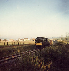
Wookey railway station
Wookey railway station was a station on the Bristol and Exeter Railway's Cheddar Valley line in Somerset, England. The site is a 0.04 hectare geological...

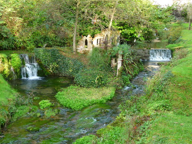
St Cuthberts Mill
St Cuthberts Mill is a British paper manufacturing company in Wells, Somerset, that specialises in mould made artists papers. The range includes traditional...

Wookey
Wookey is a village and civil parish 2 miles (3.2 km) west of Wells, on the River Axe in Somerset, England. The parish includes the village of Henton and...

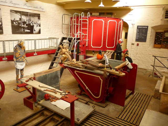
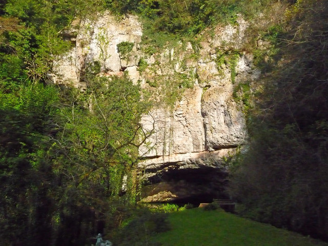
Wookey Hole
Wookey Hole is a village in Somerset, England. It is the location of the Wookey Hole show caves. == Location == Wookey Hole is located in the civil parish...
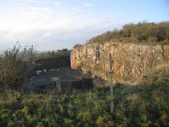
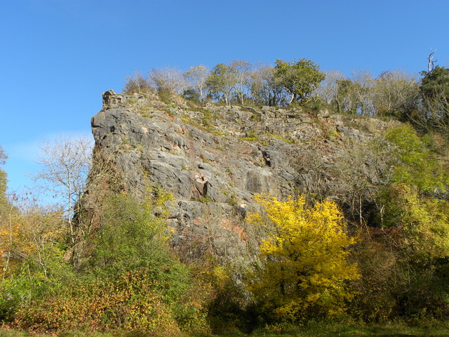
Underwood Quarry
Underwood Quarry is a former quarry near Wells, Somerset on the southern edge of the Mendip Hills that produced Carboniferous Limestone. The rock was described...
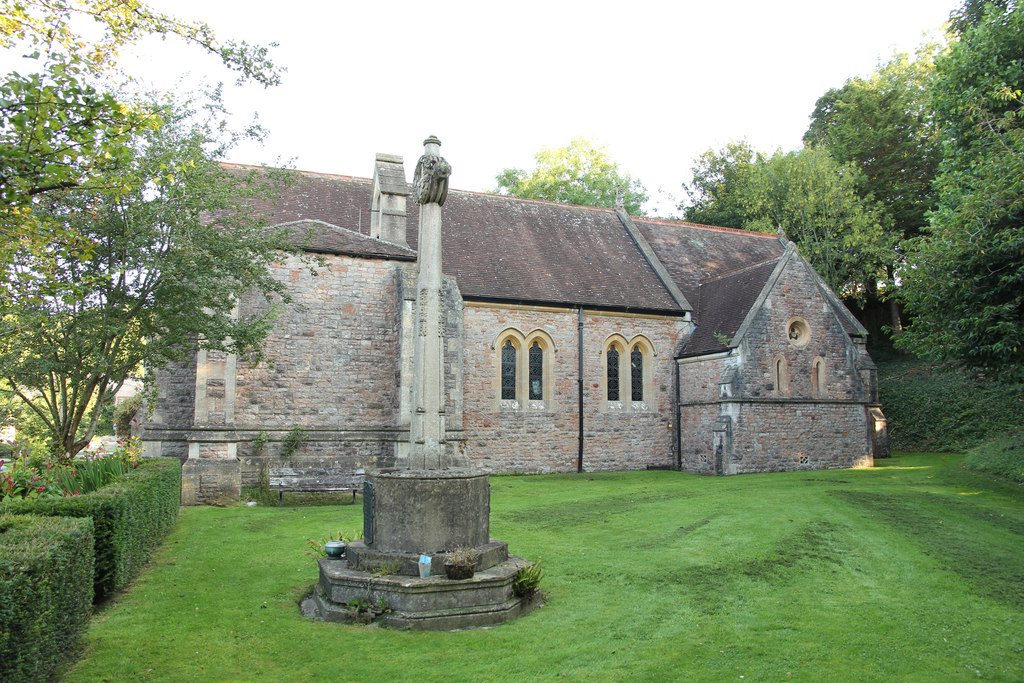
Church of St Mary Magdalene, Wookey Hole
The Church of St Mary Magdalene is a Church of England church in Wookey Hole, Somerset, England, dedicated to Jesus' companion Mary Magdalene. The church...
Wells (Tucker Street) railway station
Wells (Tucker Street) railway station was the second terminus station on the Bristol and Exeter Railway's Cheddar Valley line in Somerset after the extension...
The Blue School, Wells
The Blue School is a coeducational, secondary school located in Wells, Somerset, England. It had 1,570 students aged 11 to 18 of both sexes and all ability...
Nearby Amenities
Located within 500m of 51.211372,-2.6780553Have you been to Henley?
Leave your review of Henley below (or comments, questions and feedback).