Heathfield Village
Settlement in Oxfordshire Cherwell
England
Heathfield Village
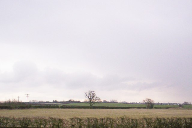
Heathfield Village is a quaint and picturesque village located in the county of Oxfordshire, England. Situated just 3 miles south of the historic city of Oxford, it offers a peaceful and idyllic setting, surrounded by lush green countryside and rolling hills.
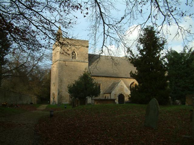
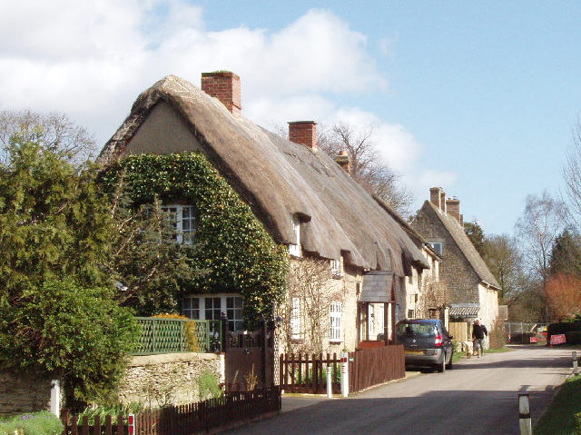
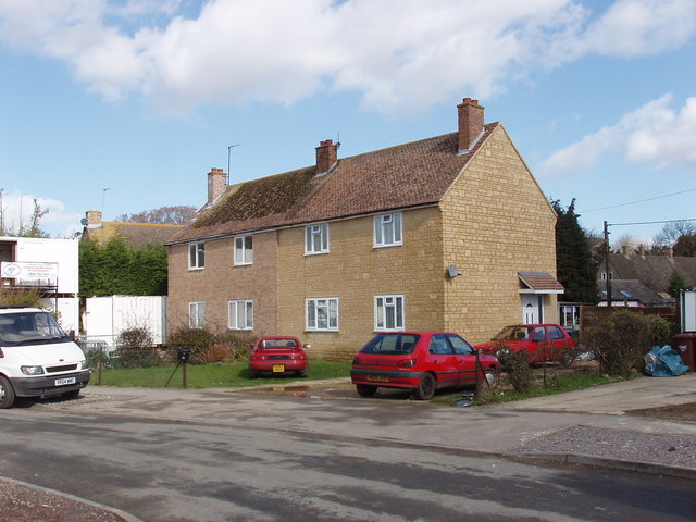
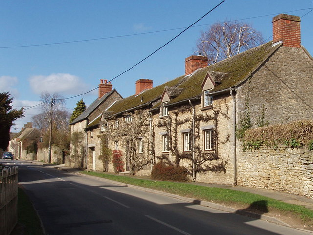
The village is home to a close-knit community, with a population of approximately 1,500 residents. It boasts a rich history, dating back to the 12th century when it was first established. The village is characterized by its charming thatched-roof cottages, traditional architecture, and well-preserved historic buildings, which give it a timeless and enchanting atmosphere.
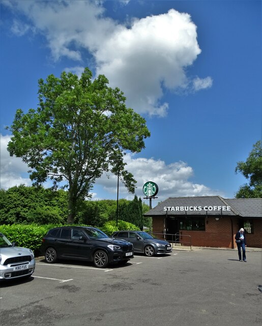
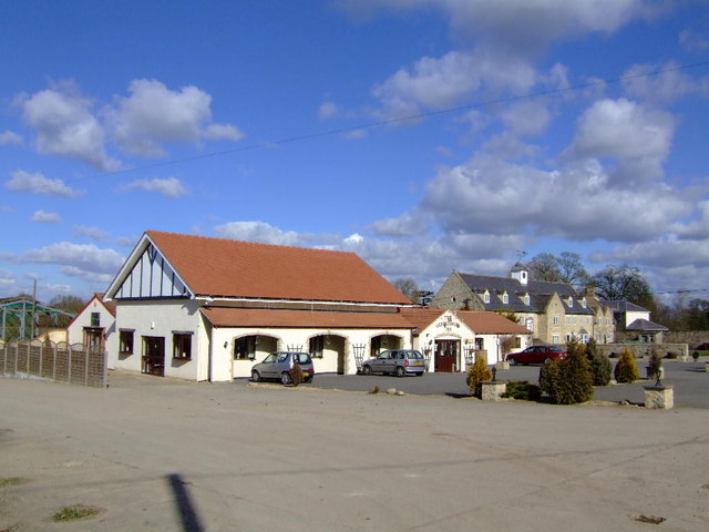
Heathfield Village offers a range of amenities and services for its residents, including a primary school, a village hall, and a local pub. The village hall is a hub of community activity, hosting various events and gatherings throughout the year, fostering a strong sense of community spirit.
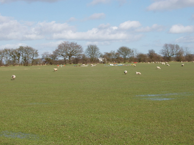
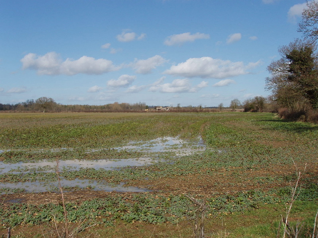
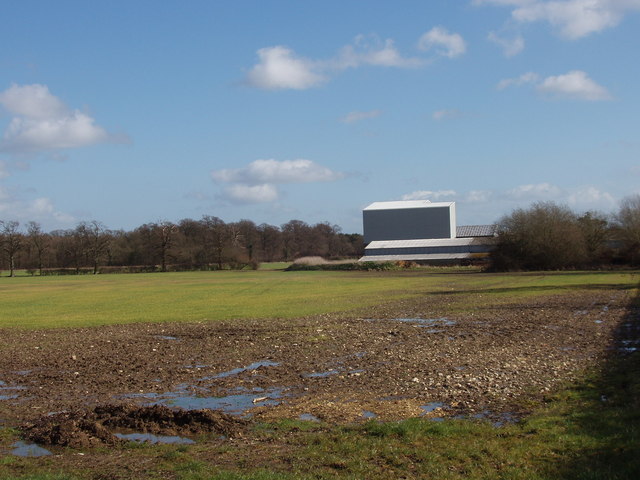
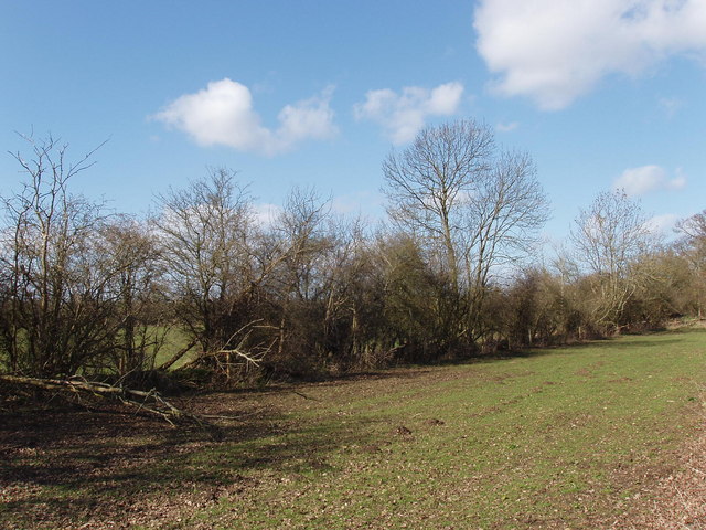
The surrounding countryside provides ample opportunities for outdoor activities, such as hiking, cycling, and horseback riding. The nearby Shotover Country Park offers stunning panoramic views of the Oxfordshire countryside and is a popular destination for nature enthusiasts.
For those seeking a taste of city life and cultural attractions, the city of Oxford is easily accessible. With its world-renowned university, historic architecture, and vibrant cultural scene, Oxford offers a wealth of museums, art galleries, theaters, and restaurants.
In summary, Heathfield Village in Oxfordshire is a charming and peaceful village, offering a close-knit community, beautiful countryside surroundings, and easy access to the historic city of Oxford.
If you have any feedback on the listing, please let us know in the comments section below.
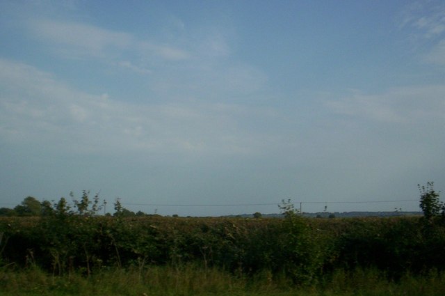
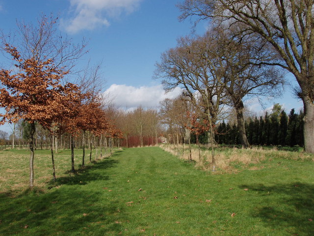
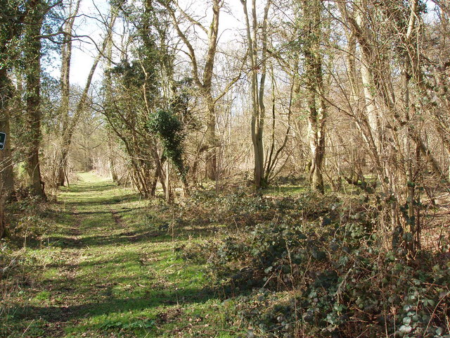
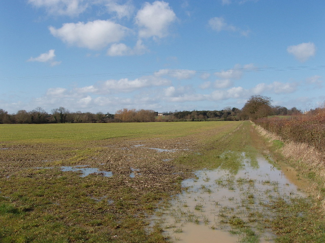
Heathfield Village Images
Images are sourced within 2km of 51.847393/-1.2436669 or Grid Reference SP5216. Thanks to Geograph Open Source API. All images are credited.


Heathfield Village is located at Grid Ref: SP5216 (Lat: 51.847393, Lng: -1.2436669)
Administrative County: Oxfordshire
District: Cherwell
Police Authority: Thames Valley
What 3 Words
///prospers.essay.nuggets. Near Kidlington, Oxfordshire
Nearby Locations
Related Wikis

Ploughley Rural District
Ploughley was a rural district in Oxfordshire, England, from 1932 to 1974. It entirely surrounded Bicester but did not include it. It was created in 1932...

The Manor Country House Hotel, Weston-on-the-Green
The Manor Country House Hotel in Weston-on-the-Green is a building of historical significance and is Grade II* listed on the English Heritage Register...

Bletchingdon Park
Bletchington Park is a Grade II* listed Palladian country house in Bletchingdon, Oxfordshire. == History == Bletchington's medieval manor house was rebuilt...

Bletchingdon
Bletchingdon (also known as Bletchington) is a village and civil parish 2 miles (3 km) north of Kidlington and 6 miles (10 km) southwest of Bicester in...

Oddington Halt railway station
Oddington Halt was a railway station on the Varsity Line 1 mile (1.6 km) northwest of the village of Oddington, Oxfordshire. The London and North Western...
Hampton Gay and Poyle
Hampton Gay and Poyle is a civil parish in Oxfordshire, England. It was formed in 1932 by merger of the parishes of Hampton Gay (grid reference SP4816...

Weston-on-the-Green
Weston-on-the-Green is a village and civil parish in the Cherwell district of Oxfordshire, England, about 4 miles (6 km) southwest of Bicester. The 2011...

Hampton Poyle
Hampton Poyle is a village in the civil parish of Hampton Gay and Poyle, in the Cherwell district, in the county of Oxfordshire, England. It is the Cherwell...
Nearby Amenities
Located within 500m of 51.847393,-1.2436669Have you been to Heathfield Village?
Leave your review of Heathfield Village below (or comments, questions and feedback).