Heapey

Settlement in Lancashire Chorley

England

Heapey

Preston Temple A view of The Church of Jesus Christ of Latter Day Saints (Mormons) in Hartwood Green, Chorley.
Preston Temple Credit: Phil and Juliette Platt

Heapey is a small village located in the county of Lancashire, England. Situated near the larger towns of Chorley and Blackburn, it is part of the Borough of Chorley. Heapey is nestled in the foothills of the West Pennine Moors, providing residents with stunning natural landscapes and a tranquil atmosphere.

Historically, Heapey has been primarily an agricultural community, with farming playing an important role in the local economy. However, in recent years, the village has experienced some residential development, attracting new residents seeking a peaceful countryside lifestyle.

The village is home to a number of traditional stone-built houses, giving it a charming and picturesque appearance. Its close-knit community is served by a local primary school, providing education to the village's children. Heapey also has a village hall, which serves as a hub for community events and gatherings.

For those who enjoy outdoor activities, Heapey offers various opportunities to explore the surrounding countryside. There are picturesque walking trails and cycling routes that wind through the nearby moors and woodlands, allowing residents and visitors to experience the beauty of the area.

Despite its small size, Heapey benefits from its proximity to larger towns, where residents can find a wider range of amenities, including shops, supermarkets, and healthcare facilities. The village is well-connected to the rest of Lancashire by road, with easy access to the M61 motorway, enabling convenient travel to nearby cities such as Manchester and Preston.

Overall, Heapey is a charming village that offers a peaceful rural lifestyle, beautiful natural surroundings, and easy access to larger towns and cities.

If you have any feedback on the listing, please let us know in the comments section below.
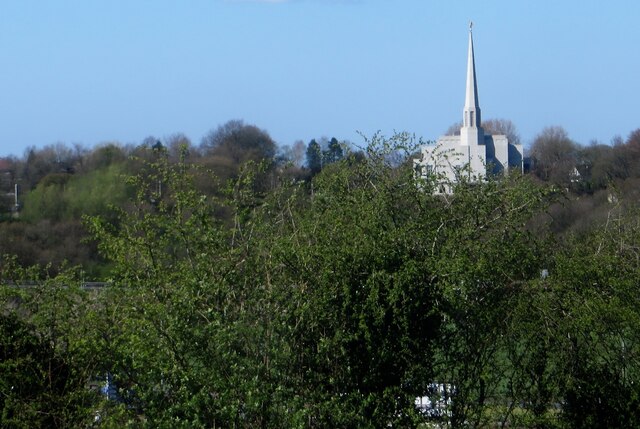
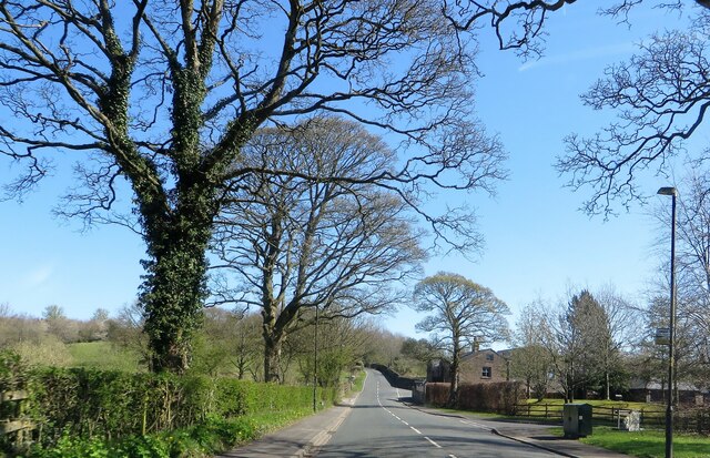
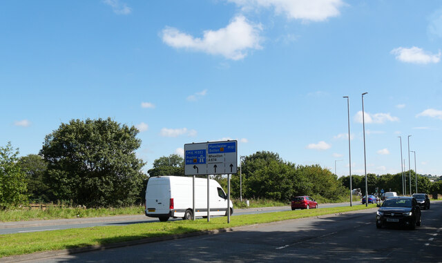
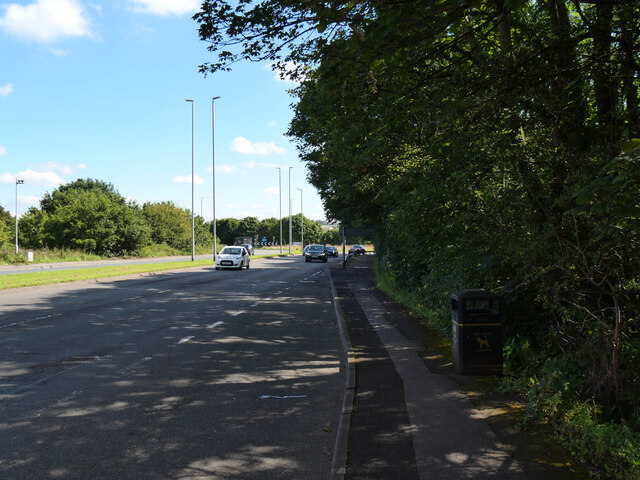
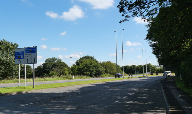
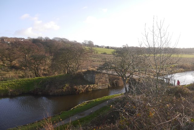
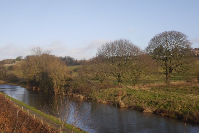
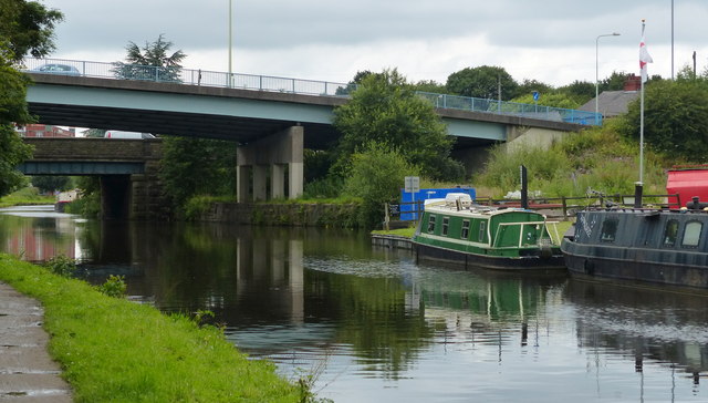
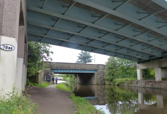
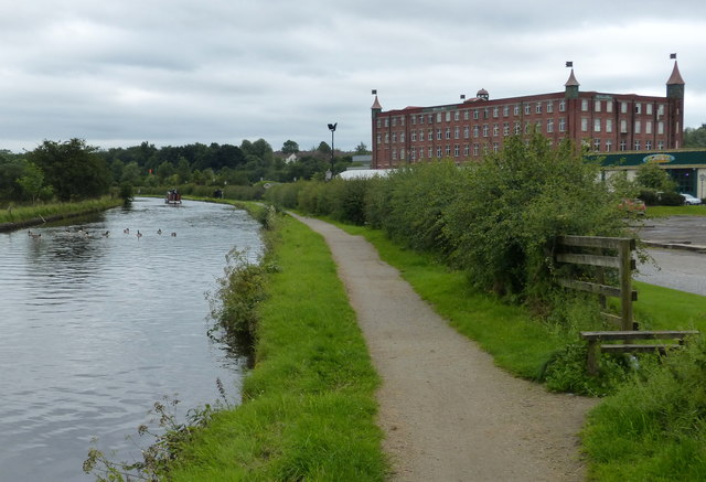
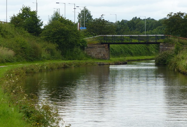
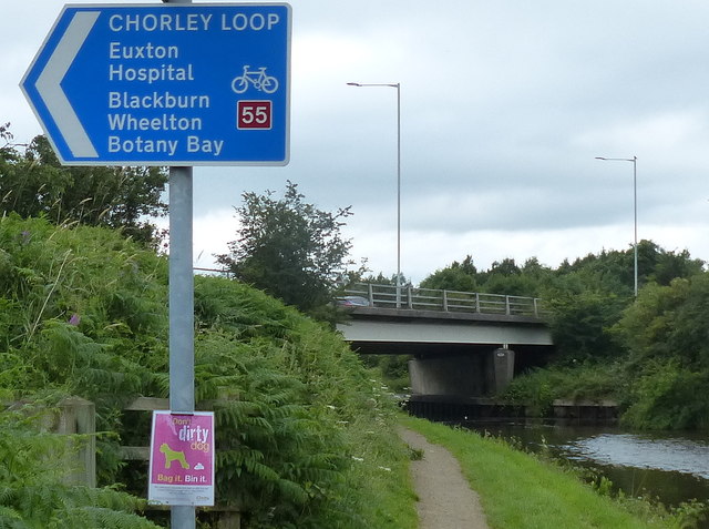
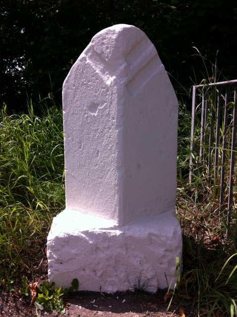
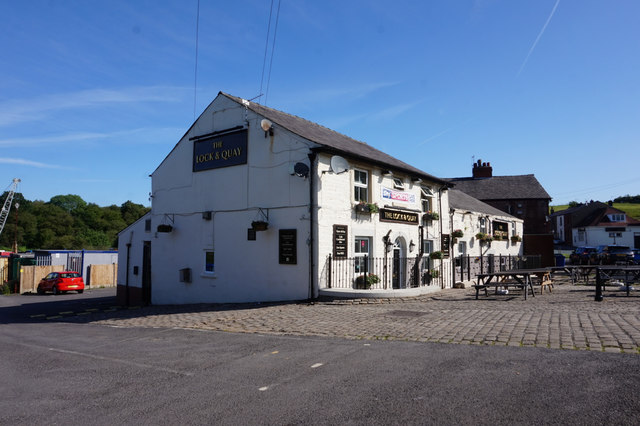
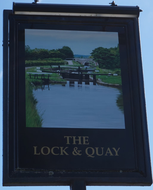
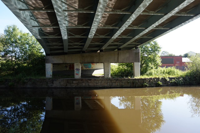
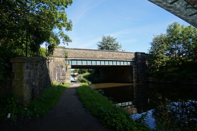
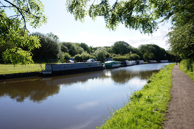
Heapey Images

Images are sourced within 2km of 53.679332/-2.6033942 or Grid Reference SD6020. Thanks to Geograph Open Source API. All images are credited.

Preston Temple A view of The Church of Jesus Christ of Latter Day Saints (Mormons) in Hartwood Green, Chorley.
Preston Temple
A view of The Church of Jesus Christ of Latter Day Saints (Mormons) in Hartwood Green, Chorley.
Knowley Brow In Little Knowley.
Knowley Brow
In Little Knowley.
Millennium Way (A674), Hartwood, Chorley
Knowley Bridge The Leeds and Liverpool Canal outside Chorley.
Knowley Bridge
The Leeds and Liverpool Canal outside Chorley.
Leeds and Liverpool Canal The famously scenic canal passes Great Knowley.
Leeds and Liverpool Canal
The famously scenic canal passes Great Knowley.
Botany Wharf on the Leeds and Liverpool Canal The Leeds and Liverpool Canal is the longest canal in Northern England at 127 miles long. The first of the trans-Pennine canals it took 46 years to build at a cost of five times the original budget, mainly because of the length and complexity of the route. It passes through 91 locks with a summit level of 487 feet at Foulridge near Nelson and Colne. It was originally conceived in the 18th century to carry woollen goods from Leeds and Bradford and limestone from Skipton but in its 19th century heyday it carried stone, coal and many other goods. The impact of the railways was not as great as with other canals and commercial traffic continued along the main canal until 1964. Regular work stopped in 1972 when the movement of coal to Wigan Power Station ceased. In the latter part of the 20th century the leisure potential of the canal was developed and it is now a popular destination for cruising, fishing, walking and cycling. See <span class="nowrap"><a title="http://www.penninewaterways.co.uk/ll/index.htm" rel="nofollow ugc noopener" href="http://www.penninewaterways.co.uk/ll/index.htm">Link</a><img style="margin-left:2px;" alt="External link" title="External link - shift click to open in new window" src="https://s1.geograph.org.uk/img/external.png" width="10" height="10"/></span> for detailed information.
Botany Wharf on the Leeds and Liverpool Canal
The Leeds and Liverpool Canal is the longest canal in Northern England at 127 miles long. The first of the trans-Pennine canals it took 46 years to build at a cost of five times the original budget, mainly because of the length and complexity of the route. It passes through 91 locks with a summit level of 487 feet at Foulridge near Nelson and Colne. It was originally conceived in the 18th century to carry woollen goods from Leeds and Bradford and limestone from Skipton but in its 19th century heyday it carried stone, coal and many other goods. The impact of the railways was not as great as with other canals and commercial traffic continued along the main canal until 1964. Regular work stopped in 1972 when the movement of coal to Wigan Power Station ceased. In the latter part of the 20th century the leisure potential of the canal was developed and it is now a popular destination for cruising, fishing, walking and cycling. See LinkExternal link for detailed information.
Two bridges crossing the Leeds and Liverpool Canal The closer bridge is Botany Road Bridge No 78AA, with Botany Bridge No 78A beyond.
Two bridges crossing the Leeds and Liverpool Canal
The closer bridge is Botany Road Bridge No 78AA, with Botany Bridge No 78A beyond.
Towpath along the Leeds and Liverpool Canal On the right is the former Botany Bay Mill, built in 1855 during the Crimean War when Lancashire cotton industry was at the forefront of cotton manufacturing. The mill opened in 1856 and was built for Richard
Smethurst a pioneer in the Chorley cotton industry.
It has now been converted into a shopping and garden centre.
Towpath along the Leeds and Liverpool Canal
On the right is the former Botany Bay Mill, built in 1855 during the Crimean War when Lancashire cotton industry was at the forefront of cotton manufacturing. The mill opened in 1856 and was built for Richard Smethurst a pioneer in the Chorley cotton industry. It has now been converted into a shopping and garden centre.
Knowley Bridge No 79 Carrying a public footpath across the Leeds and Liverpool Canal near Chorley.
Knowley Bridge No 79
Carrying a public footpath across the Leeds and Liverpool Canal near Chorley.
A674 Bridge No 79a The Leeds and Liverpool Canal is the longest canal in Northern England at 127 miles long. The first of the trans-Pennine canals it took 46 years to build at a cost of five times the original budget, mainly because of the length and complexity of the route. It passes through 91 locks with a summit level of 487 feet at Foulridge near Nelson and Colne. It was originally conceived in the 18th century to carry woollen goods from Leeds and Bradford and limestone from Skipton but in its 19th century heyday it carried stone, coal and many other goods. The impact of the railways was not as great as with other canals and commercial traffic continued along the main canal until 1964. Regular work stopped in 1972 when the movement of coal to Wigan Power Station ceased. In the latter part of the 20th century the leisure potential of the canal was developed and it is now a popular destination for cruising, fishing, walking and cycling. See <span class="nowrap"><a title="http://www.penninewaterways.co.uk/ll/index.htm" rel="nofollow ugc noopener" href="http://www.penninewaterways.co.uk/ll/index.htm">Link</a><img style="margin-left:2px;" alt="External link" title="External link - shift click to open in new window" src="https://s1.geograph.org.uk/img/external.png" width="10" height="10"/></span> for detailed information.
A674 Bridge No 79a
The Leeds and Liverpool Canal is the longest canal in Northern England at 127 miles long. The first of the trans-Pennine canals it took 46 years to build at a cost of five times the original budget, mainly because of the length and complexity of the route. It passes through 91 locks with a summit level of 487 feet at Foulridge near Nelson and Colne. It was originally conceived in the 18th century to carry woollen goods from Leeds and Bradford and limestone from Skipton but in its 19th century heyday it carried stone, coal and many other goods. The impact of the railways was not as great as with other canals and commercial traffic continued along the main canal until 1964. Regular work stopped in 1972 when the movement of coal to Wigan Power Station ceased. In the latter part of the 20th century the leisure potential of the canal was developed and it is now a popular destination for cruising, fishing, walking and cycling. See LinkExternal link for detailed information.
Old Boundary Marker by the B6228, Blackburn Road, Chorley Parish Parish Boundary Marker by the B6228 (was A674), in parish of Chorley (Chorley District), North of Great Knowley, hidden in grass just South of metal railings by bridge, West side of road.

Surveyed

Milestone Society National ID: LA_CYBB01pb
Old Boundary Marker by the B6228, Blackburn Road, Chorley Parish
Parish Boundary Marker by the B6228 (was A674), in parish of Chorley (Chorley District), North of Great Knowley, hidden in grass just South of metal railings by bridge, West side of road. Surveyed Milestone Society National ID: LA_CYBB01pb
The Lock & Quay Public House On Blackburn Brow, Knowley.
The Lock & Quay Public House
On Blackburn Brow, Knowley.
The Lock & Quay Public House On Blackburn Brow, Knowley.
The Lock & Quay Public House
On Blackburn Brow, Knowley.
Bridge 78AA, Blackburn Brow (road)
Bridge 78A minor road
Leeds & Liverpool Canal Towards bridge 78AAA.
Leeds & Liverpool Canal
Towards bridge 78AAA.
Show me another place!

Heapey is located at Grid Ref: SD6020 (Lat: 53.679332, Lng: -2.6033942)

Administrative County: Lancashire

District: Chorley

Police Authority: Lancashire

What 3 Words

///driftwood.alone.cubes. Near Brinscall, Lancashire

Nearby Locations

Heapey

Related Wikis

Heapey

Heapey is a village and civil parish of the Borough of Chorley, in Lancashire, England. The village is two miles from Chorley and on the western fringe...

Wheelton

Wheelton is a village and civil parish of the Borough of Chorley, in Lancashire, England. According to the United Kingdom Census 2001 it has a population...

Heapey railway station

Heapey railway station served the village of Heapey, in Lancashire, England. == History == The station was opened by the Lancashire and Yorkshire Railway...

Lucas Green, Lancashire

Lucas Green is a village in Lancashire, England. == References == The geographic coordinates are from the Ordnance Survey.

Related Videos

Shocking Story: Driven From Their Homes - Discover The Deserted Lost Farms of Brinscall Moors

Shocking Story: Corporate Bullying or Unfortunate Circumstances? Brinscall Moors in Lancashire used to be home to 50 small but ...

Brinscall to Withnell railway walk ( Part 1)

Welcome back to our channel ,Today we walk the old Lancashire and Yorkshire and LNWR joint railway line between Chorley ...

White Coppice walk

Everytime we're together we always try to go and visit some places and today we had a lovely walk in white coppice at chorley ...

Nearby Amenities

Located within 500m of 53.679332,-2.6033942
Heapey
Place: hamlet
Source: npe
Lat/Long: 53.681709/-2.6069308
Turning Circle
Access: private
Lat/Long: 53.6819956/-2.6033038
Hey's Farm
Place: farm
Lat/Long: 53.6754088/-2.6059109
Eagle Tower
Place: isolated_dwelling
Lat/Long: 53.6775076/-2.603969
The data included in this document is from www.openstreetmap.org. The data is made available under ODbL.

Have you been to Heapey?

Leave your review of Heapey below (or comments, questions and feedback).