Hallpark

Settlement in Clackmannanshire

Scotland

Hallpark

Farmland at Jellyholm Not much sign of fresh growth yet
Farmland at Jellyholm Credit: Jim Smillie

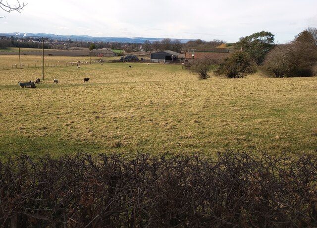
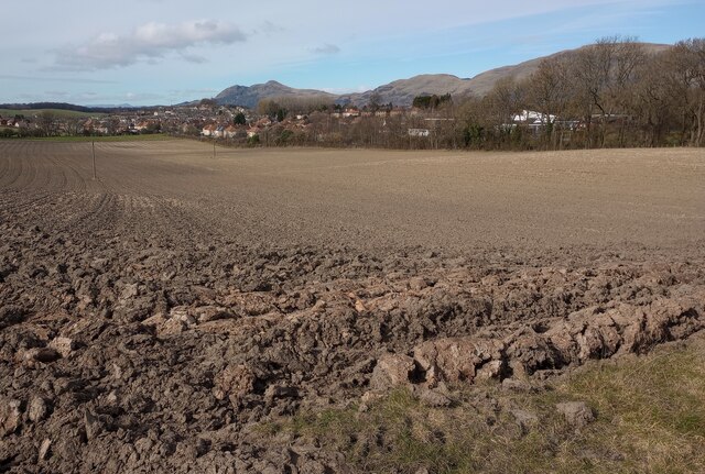
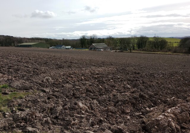
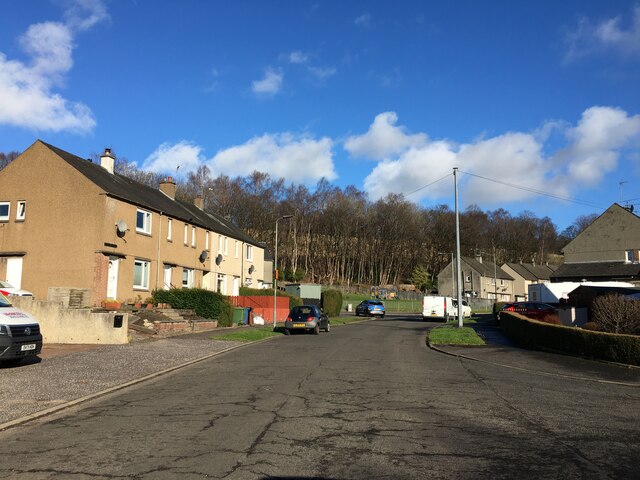
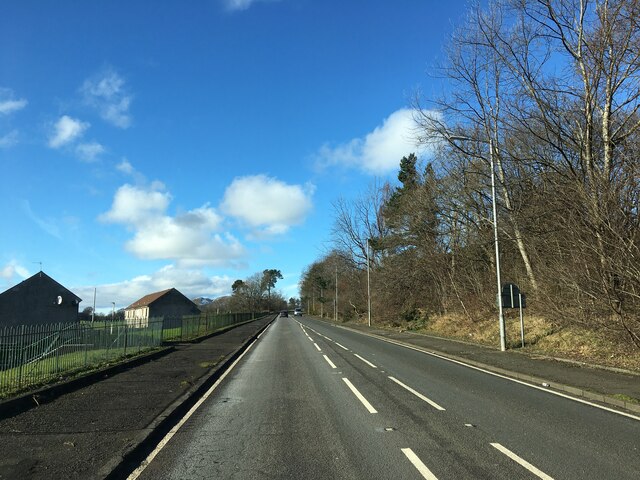
Hallpark is a small village located in the county of Clackmannanshire, Scotland. Situated approximately 4 miles east of the county town of Alloa, Hallpark is a peaceful community known for its picturesque surroundings and charming atmosphere.

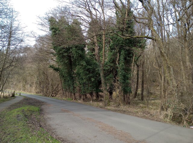
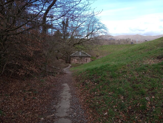
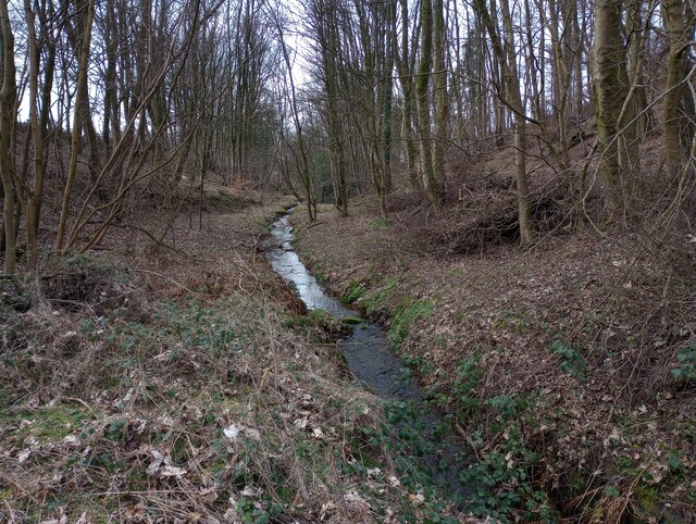
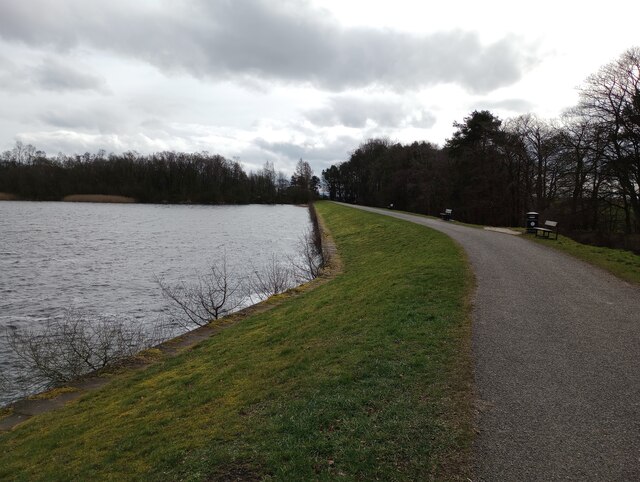
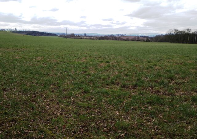
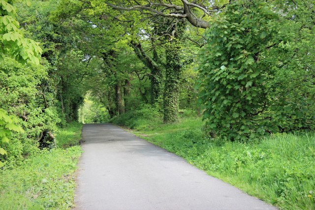
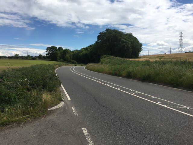
The village is surrounded by lush green fields and rolling hills, offering residents and visitors a tranquil environment to enjoy. The Ochil Hills, which are part of the larger Southern Uplands, provide a stunning backdrop to the village and offer opportunities for outdoor activities such as hiking, cycling, and nature walks.

Despite its small size, Hallpark has a strong sense of community, with a close-knit population of friendly and welcoming residents. The village boasts a few local amenities, including a small convenience store and a community hall that hosts various events throughout the year. Additionally, there are several charming cafes and pubs in the nearby area where locals and visitors can enjoy a meal or a drink.

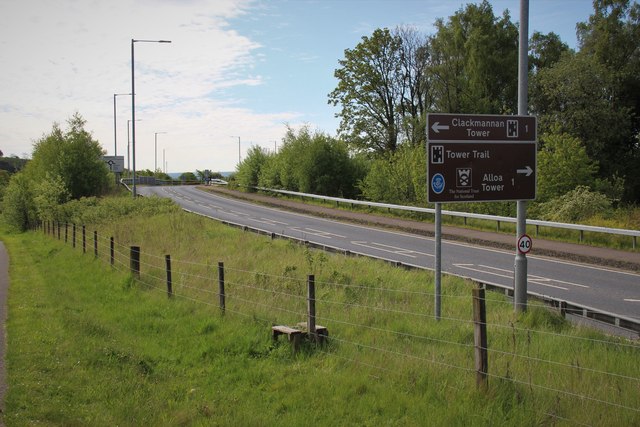
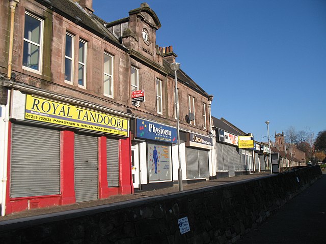
For those seeking cultural experiences, the nearby town of Alloa offers a wider range of amenities, including shops, restaurants, and leisure facilities. The town is also home to several historical landmarks, such as Alloa Tower, one of Scotland's largest surviving medieval tower houses.

Overall, Hallpark offers a peaceful and scenic place to live or visit, with its beautiful surroundings, strong community spirit, and proximity to amenities in nearby Alloa.

If you have any feedback on the listing, please let us know in the comments section below.

Hallpark Images

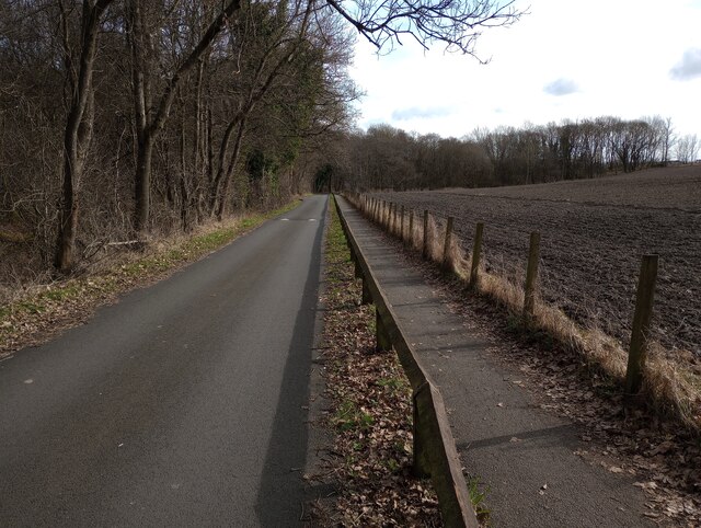
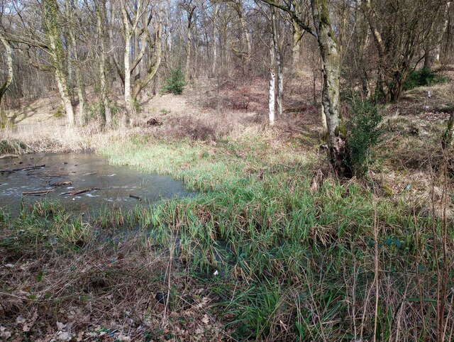
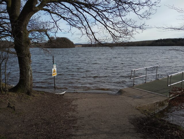
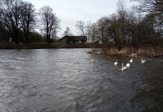
Images are sourced within 2km of 56.122595/-3.7801117 or Grid Reference NS8993. Thanks to Geograph Open Source API. All images are credited.

Farmland at Jellyholm Not much sign of fresh growth yet
Farmland at Jellyholm
Not much sign of fresh growth yet
Ploughed field: Jellyholm Looking to Sauchie with Dumyat beyond
Ploughed field: Jellyholm
Looking to Sauchie with Dumyat beyond
Looking towards waterworks Another freshly ploughed field
Looking towards waterworks
Another freshly ploughed field
Ivy clad trees Beside road leading to Gartmorn Dam
Ivy clad trees
Beside road leading to Gartmorn Dam
Approaching Gartmorn Dam Path alongside single track section of access road
Approaching Gartmorn Dam
Path alongside single track section of access road
Small frozen pond On the edge of Cowpark Wood
Small frozen pond
On the edge of Cowpark Wood
Slipway: Gartmorn Dam With a floating jetty on the right
Slipway: Gartmorn Dam
With a floating jetty on the right
Swans on Gartmorn Dam The cafe is called 'Dam Good Coffee'
Swans on Gartmorn Dam
The cafe is called 'Dam Good Coffee'
Rear of dam: Looking to 1891 Pump House Pump House was used as a visitor centre from 1980-1996.
Rear of dam: Looking to 1891 Pump House
Pump House was used as a visitor centre from 1980-1996.
Burn from Sluice Outlet Shown on OS map as Brothie Burn
Burn from Sluice Outlet
Shown on OS map as Brothie Burn
Dam end of reservoir Road gives access to Gartmorn Dam House
Dam end of reservoir
Road gives access to Gartmorn Dam House
Large grass field Separated from Gartmorn Dam by a strip wood
Large grass field
Separated from Gartmorn Dam by a strip wood
Gartmorn Dam Spillway
B909 near Alloa
B909 near Alloa
A leafy lane near Alloa
Woodburn Drive, Alloa
B908 at Branshill
B908 at Branshill
B9140 towards Fishcross
Show me another place!

Hallpark is located at Grid Ref: NS8993 (Lat: 56.122595, Lng: -3.7801117)

Unitary Authority: Clackmannanshire

Police Authority: Forth Valley

What 3 Words

///example.thank.shepherds. Near Alloa, Clackmannanshire

Nearby Locations

Hallpark Keilarsbrae

Related Wikis

Upper Hirst

The Upper Hirst is a coal seam in central Scotland that was mined on a large scale in the 1950s through to 2002, mainly to supply Kincardine Power Station...

Gaberston Mill

Gaberston Mill was a weaving and spinning mill located in Whins Road Alloa, Scotland founded by David Fraser Lambert (1805–56) in 1837. == David Lambert... ==

Sauchie

Sauchie is a town in the Central Lowlands of Scotland. It lies north of the River Forth and south of the Ochil Hills, within the council area of Clackmannanshire...

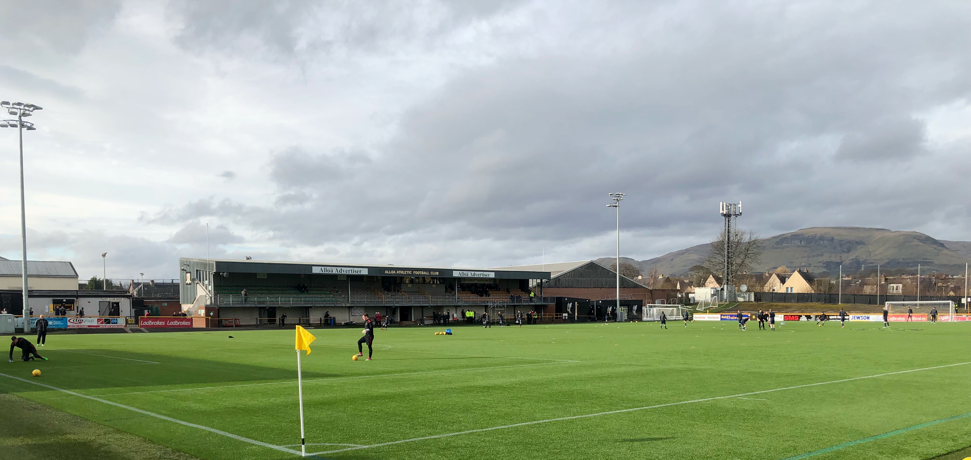
Recreation Park, Alloa

Recreation Park, also known as Recreation Grounds, The Recs and The Indodrill Stadium for sponsorship reasons, is a football stadium in Alloa, Clackmannanshire...

Nearby Amenities

Located within 500m of 56.122595,-3.7801117
Mini Roundabout
Direction: clockwise
Lat/Long: 56.1251296/-3.7822186
Crossing
Crossing: unmarked
Lat/Long: 56.1251448/-3.7824325
Crossing
Crossing: zebra
Crossing Island: no
Source: survey
Tactile Paving: yes
Lat/Long: 56.1252888/-3.7827993
Booth: K6
Removed Amenity: telephone
Source: survey
Lat/Long: 56.1263868/-3.7834235
Barrier: cycle_barrier
Lat/Long: 56.1248993/-3.782711
Addr Housenumber: 20
Addr Street: Rosebank
Lat/Long: 56.1260786/-3.777571
Post Box
Collection Times: Mo-Fr 09:00; Sa 07:00
Operator: Royal Mail
Operator Wikidata: Q638098
Post Box Design: type_b
Post Box Type: pillar
Ref: FK10 20D
Royal Cypher: scottish_crown
Source: survey
Lat/Long: 56.1214017/-3.7799809
Addr Housenumber: 8
Addr Street: Baillie Court
Lat/Long: 56.1258736/-3.7831982
Addr Housenumber: 8
Addr Street: Lilybank Court
Lat/Long: 56.1265491/-3.7789476
Addr Housenumber: 46
Addr Street: Hilton Road
Lat/Long: 56.1188285/-3.7780051
Mini Roundabout
Lat/Long: 56.1233998/-3.7812729
Shop: car
Lat/Long: 56.1241416/-3.7813014
Crossing
Crossing: zebra
Crossing Island: no
Tactile Paving: yes
Lat/Long: 56.1240981/-3.7816548
War Memorial
Historic: memorial
Inscription: 6 o'clock face: IN MEMORY OF/ THE MEN OF THIS DISTRICT/ WHO GAVE THEIR LIVES/ IN THE TWO WORLD WARS/ 1914-19 1939-45
Website: https://www.iwm.org.uk/memorials/item/memorial/6030
Wheelchair: yes
Lat/Long: 56.1259749/-3.7837346
Miners' Memorial
Historic: memorial
Inscription: To commemorate the legacy of the mining industry of Sauchie village, unveiled during the Queen's Jubilee 2012. Their darkness, our ligh
Website: https://www.clacks.gov.uk/council/press/?release=3091
Wheelchair: yes
Lat/Long: 56.1260223/-3.783712
Bus Stop
Bench: yes
Bus: yes
Public Transport: platform
Shelter: yes
Lat/Long: 56.1236843/-3.7815119
Bus Stop
Bench: yes
Bus: yes
Public Transport: platform
Shelter: yes
Lat/Long: 56.1239491/-3.7814659
Bicycle Parking
Capacity: 12
Covered: yes
Fee: no
Lat/Long: 56.1238746/-3.7834313
Bicycle Repair Station
Service Bicycle Pump: yes
Service Bicycle Tools: yes
Lat/Long: 56.1239876/-3.7833841
Barrier: cycle_barrier
Lat/Long: 56.1252398/-3.7828626
Library
Lat/Long: 56.1261491/-3.7839249
Shop: convenience
Lat/Long: 56.1262099/-3.784211
Barrier: cycle_barrier
Lat/Long: 56.1253533/-3.7826827
Crossing
Crossing: zebra
Crossing Markings: yes
Lat/Long: 56.1201381/-3.7811472
Fast Food
Lat/Long: 56.12007/-3.7815985
USave
Brand: USave
Brand Wikidata: Q121435010
Shop: convenience
Lat/Long: 56.1200335/-3.7816542
Shop: computer
Lat/Long: 56.119995/-3.781725
The data included in this document is from www.openstreetmap.org. The data is made available under ODbL.

Have you been to Hallpark?

Leave your review of Hallpark below (or comments, questions and feedback).