Hallow Bank
Settlement in Westmorland South Lakeland
England
Hallow Bank
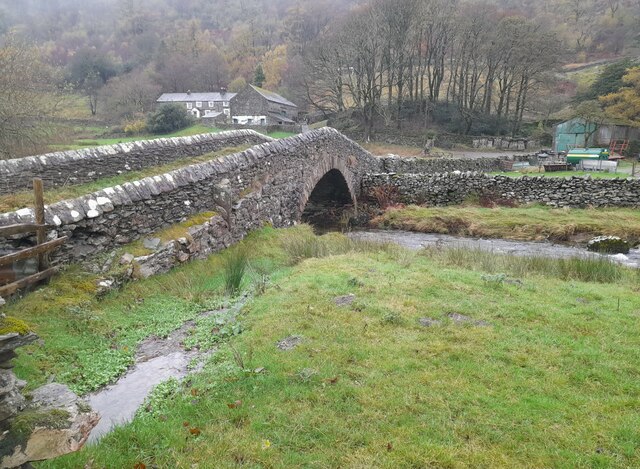
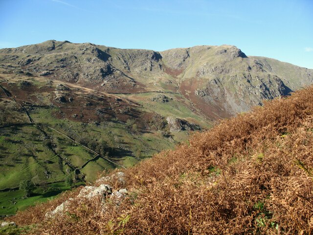
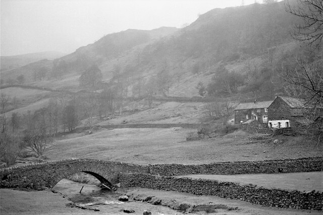
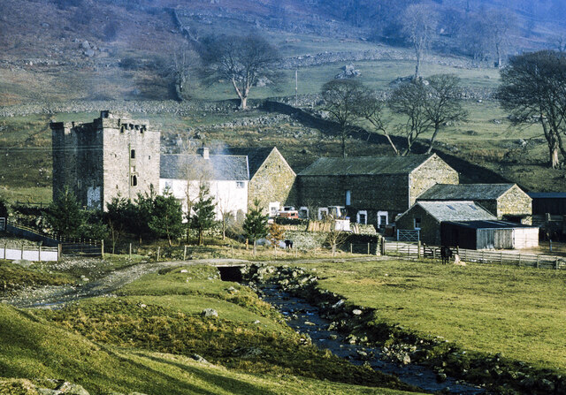
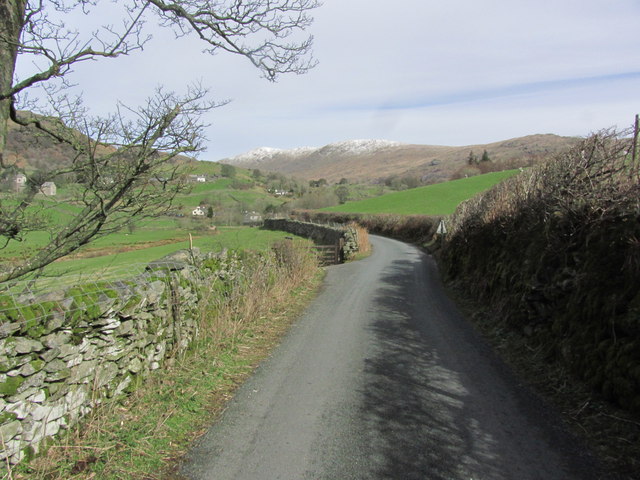
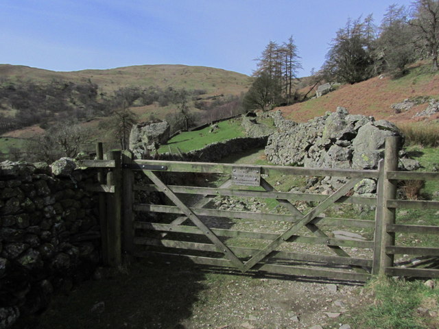
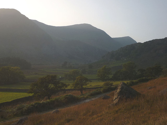
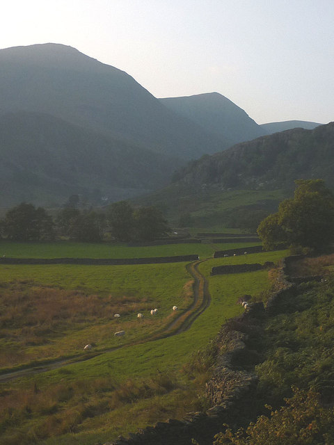
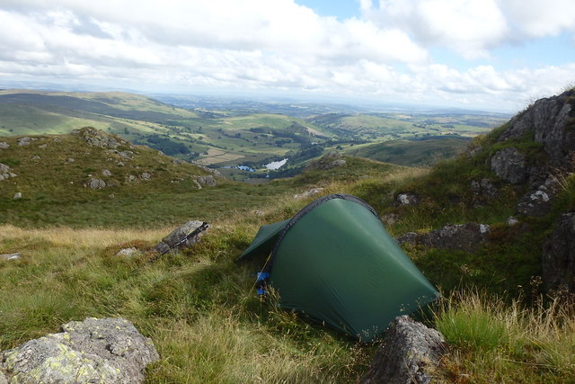
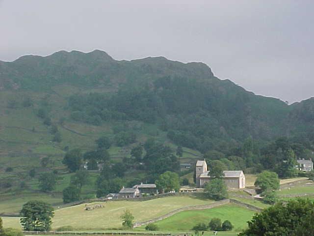
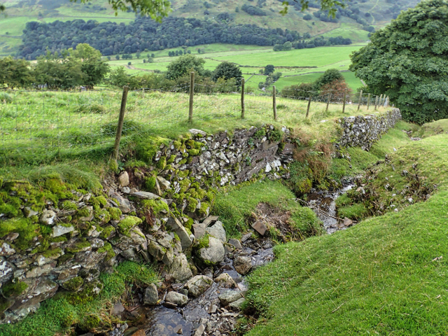
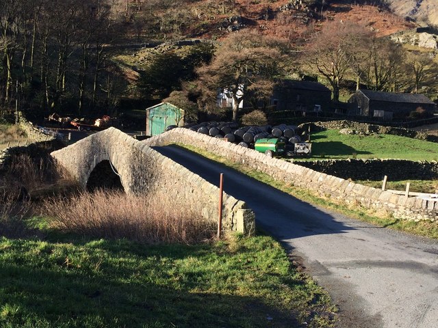
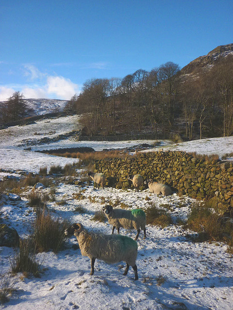
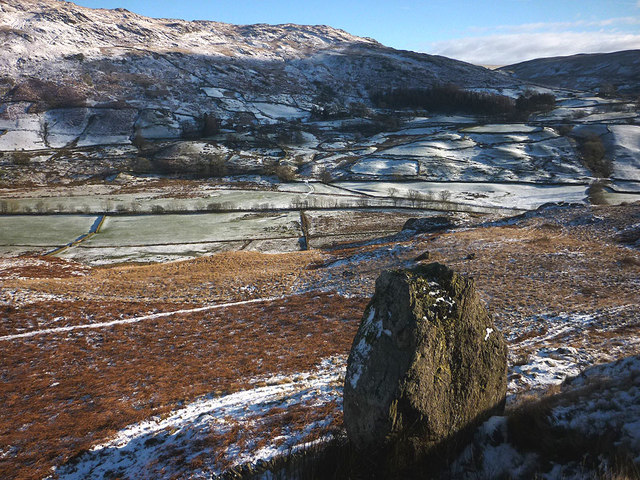
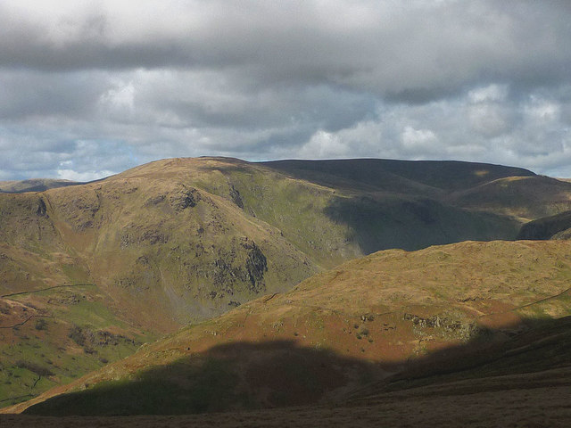
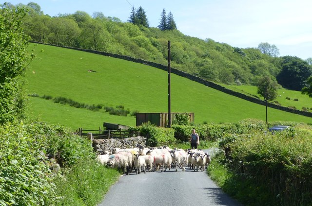
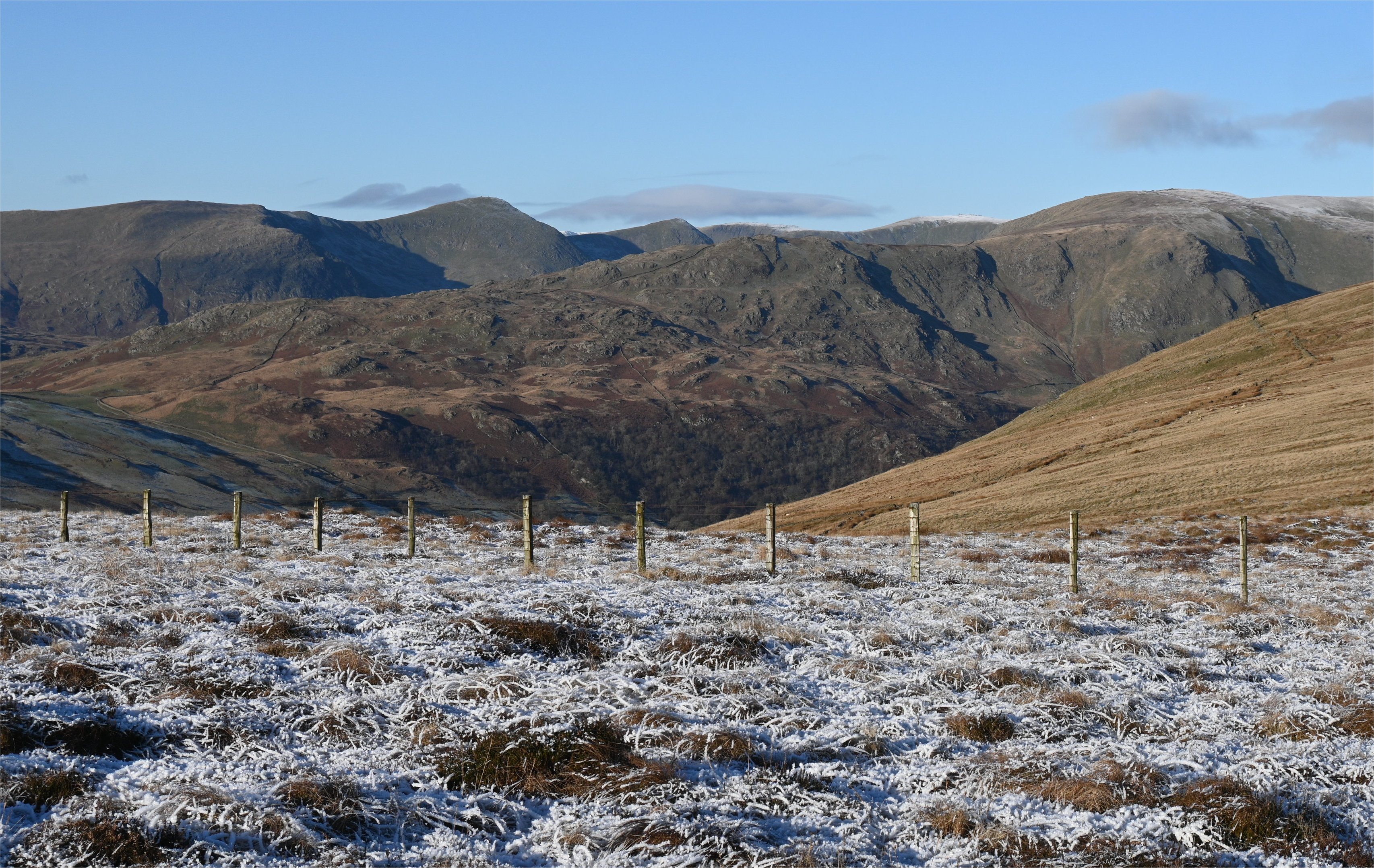
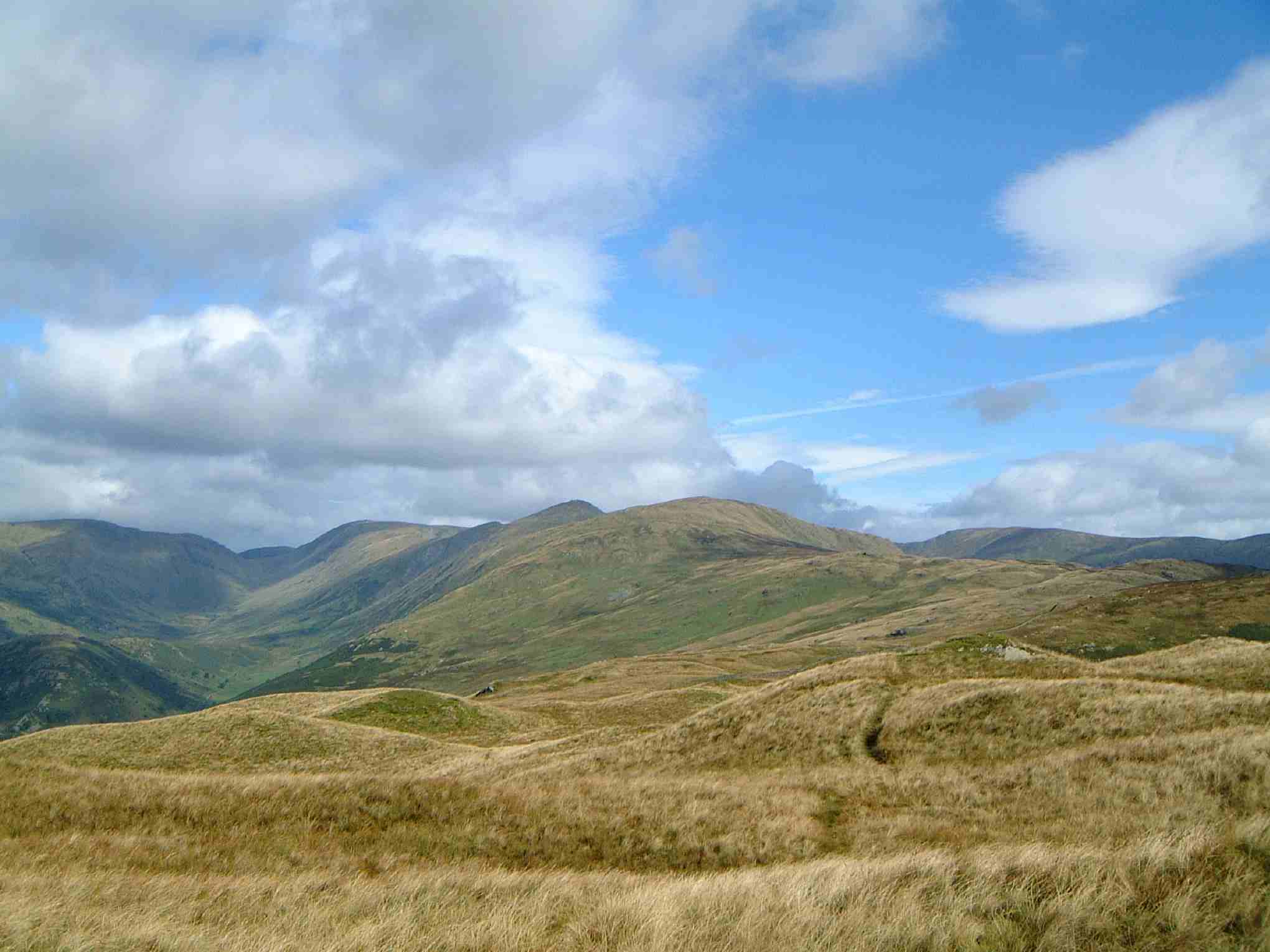
Hallow Bank is a small village located in the county of Westmorland, in the North West of England. It is situated in the picturesque Lake District National Park, known for its stunning landscapes and outdoor recreational activities. The village is nestled between rolling hills and surrounded by lush greenery, providing a tranquil and scenic setting.
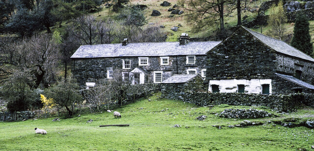
Hallow Bank is home to a close-knit community, with a population of around 200 residents. The village is characterized by its charming stone cottages and traditional architecture, which add to its rustic appeal. The residents here enjoy a peaceful lifestyle, away from the hustle and bustle of city life.
While Hallow Bank may be small, it offers some amenities to its residents. There is a local pub, The Hallow Inn, which serves as a social hub for the community. It provides a welcoming atmosphere and is known for its warm hospitality and delicious home-cooked meals.
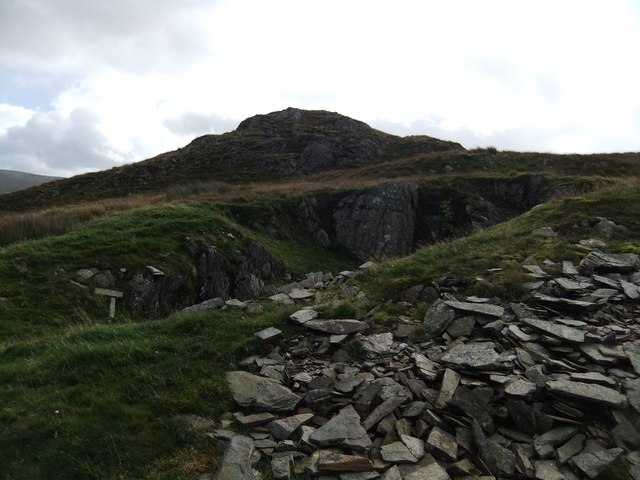
The village is also conveniently located near several popular tourist attractions. Within a short distance, visitors can explore the beautiful Lake Windermere, England's largest lake, and climb the nearby fells for breathtaking views. Additionally, the charming towns of Kendal and Ambleside are just a short drive away, offering a range of shops, cafes, and historical sites to explore.
Overall, Hallow Bank in Westmorland offers a peaceful and idyllic countryside retreat, perfect for those seeking a slower pace of life and a connection with nature.
If you have any feedback on the listing, please let us know in the comments section below.
Hallow Bank Images
Images are sourced within 2km of 54.439467/-2.825488 or Grid Reference NY4605. Thanks to Geograph Open Source API. All images are credited.
Hallow Bank is located at Grid Ref: NY4605 (Lat: 54.439467, Lng: -2.825488)
Administrative County: Cumbria
District: South Lakeland
Police Authority: Cumbria
What 3 Words
///radiating.ladder.known. Near Staveley, Cumbria
Nearby Locations
Related Wikis
Shipman Knotts
Shipman Knotts is a fell in the English Lake District in Cumbria, England. It reaches a height of 587 metres (1,926 ft) and is situated in one of the quieter...

Green Quarter Fell
Green Quarter Fell is an upland area in the east of the English Lake District, near Kentmere village, Cumbria. It is the subject of a chapter of Wainwright...
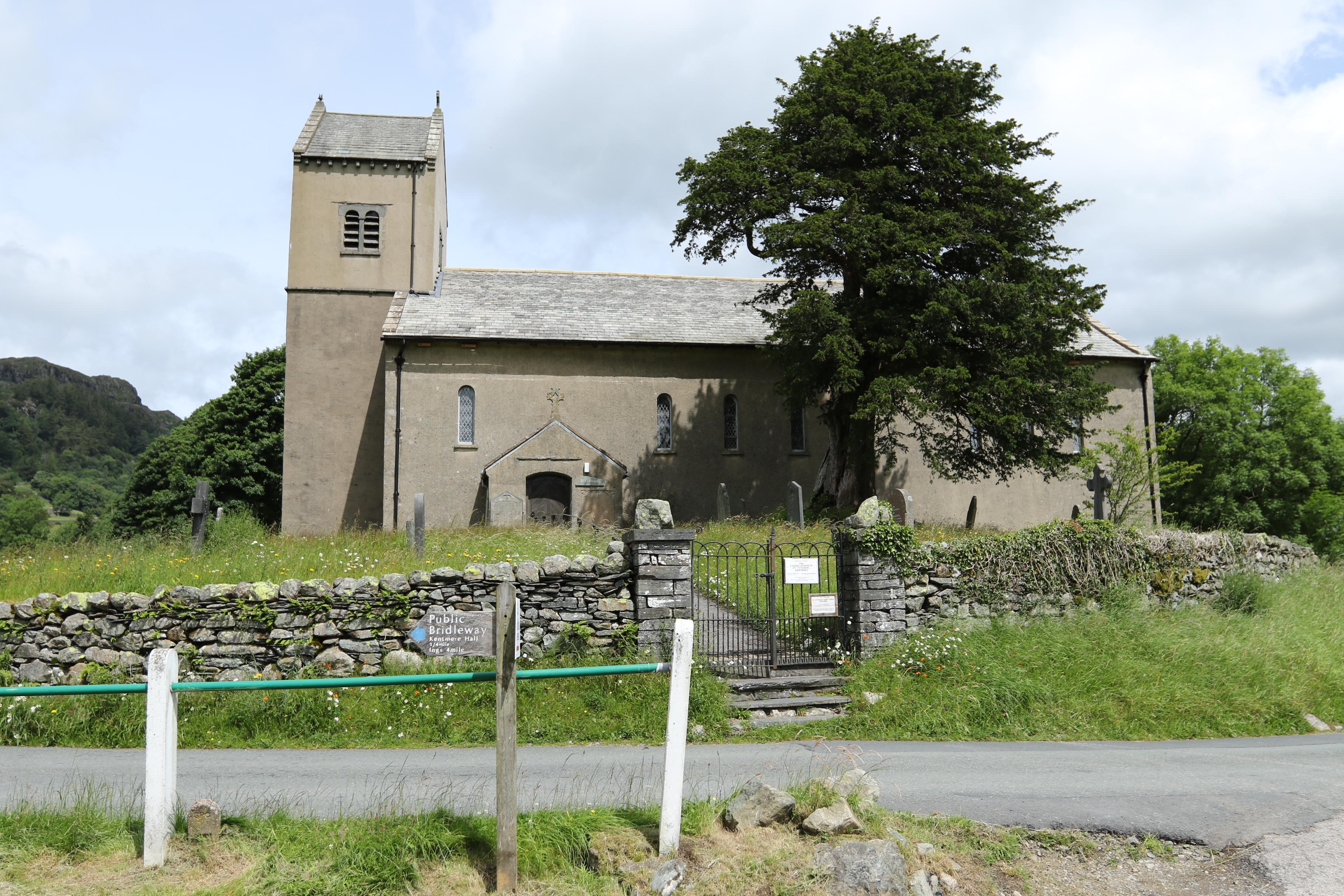
St Cuthbert's Church, Kentmere
St Cuthbert's Church, Kentmere is a Grade II listed parish church in the Church of England in Kentmere, Cumbria. Its benefice is united with that of St...

Kentmere
Kentmere is a valley, village and civil parish in the Lake District National Park, a few miles from Kendal in the Westmorland and Furness district of Cumbria...

Sadgill
Sadgill is a hamlet in Longsleddale, Cumbria, England. It is a divided settlement, also containing Low Sadgill. == References ==

Kentmere Pike
Kentmere Pike is a fell in the English Lake District, rising between the valleys of Kentmere and Longsleddale. It is the highpoint on the ridge between...
Yoke (Lake District)
Yoke is a fell in the Lake District in Cumbria, England. It has a height of 706 metres (2,316 ft) and is situated in the far eastern sector of the national...

Sallows
Sallows is a fell in the English Lake District, rising between the valleys of Kentmere and Troutbeck. It is the highest point in the upland area to the...
Nearby Amenities
Located within 500m of 54.439467,-2.825488Have you been to Hallow Bank?
Leave your review of Hallow Bank below (or comments, questions and feedback).