Hall Green

Settlement in Worcestershire Malvern Hills

England

Hall Green

Footbridges at the junction of footpaths near Blackmore End
Footbridges at the junction of footpaths near Blackmore End Credit: peter robinson

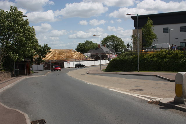
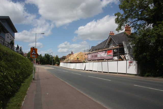
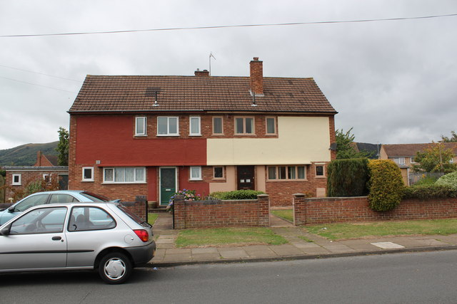
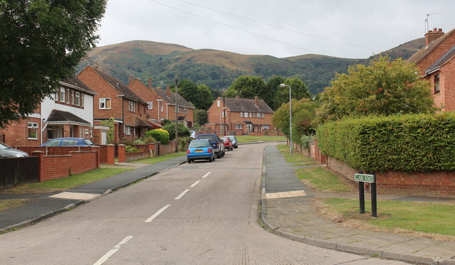
Hall Green is a suburban area located in Worcestershire, England. Situated approximately five miles south of Birmingham city center, Hall Green is part of the metropolitan borough of Solihull. The area is known for its residential character, offering a mix of housing types, including detached and semi-detached houses, as well as some apartment complexes.

Hall Green benefits from its close proximity to major transportation links, such as the A34 and A41 roads, providing easy access to Birmingham and other neighboring towns. The area is also served by Hall Green railway station, connecting residents to Birmingham Moor Street and Stratford-upon-Avon.

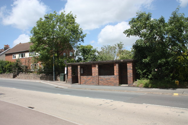
The community of Hall Green is well-served in terms of amenities and facilities. The local high street, known as the Robin Hood Island, boasts a range of shops, including supermarkets, banks, and various retail outlets. The area also features several parks and green spaces, providing opportunities for outdoor activities and leisurely walks.

Education is well-catered for in Hall Green, with a number of primary and secondary schools located within the area. Hall Green School, a coeducational secondary school, is highly regarded and known for its academic achievements.

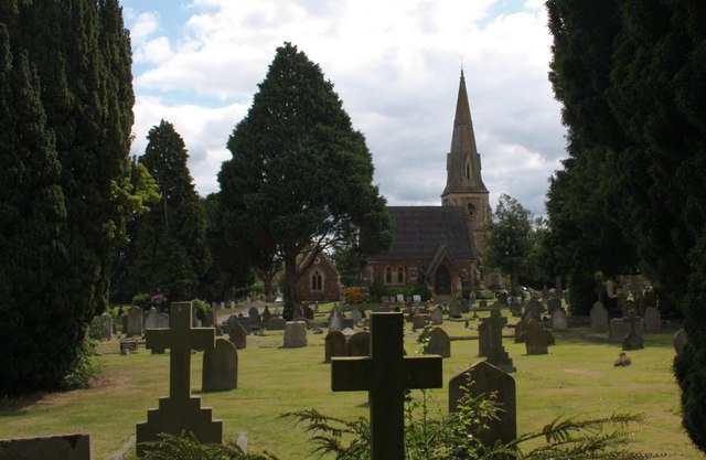
Hall Green offers a diverse and multicultural atmosphere, with a mix of residents from different backgrounds. The area is home to a variety of community and cultural events throughout the year, fostering a strong sense of community spirit.

Overall, Hall Green is a pleasant and convenient place to live, offering a peaceful suburban lifestyle while benefiting from its proximity to Birmingham's amenities and transport links.

If you have any feedback on the listing, please let us know in the comments section below.
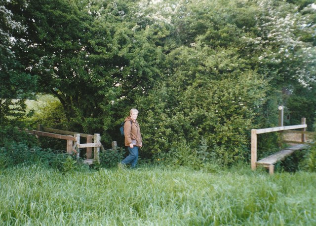
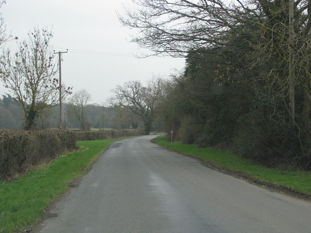
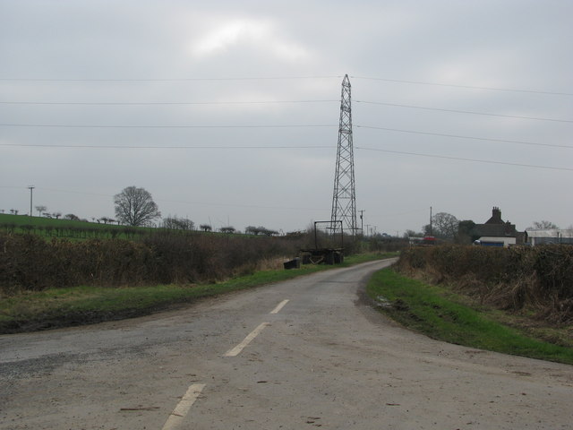
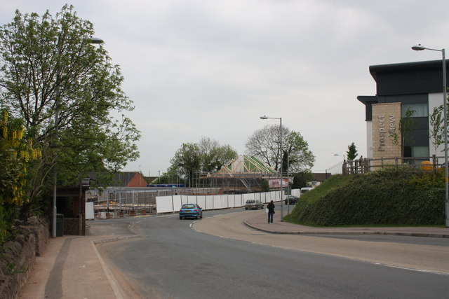
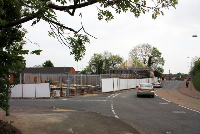
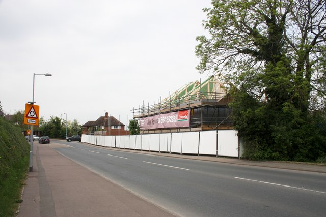
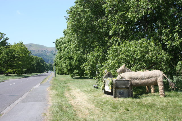
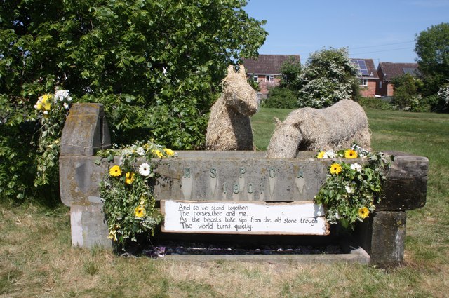
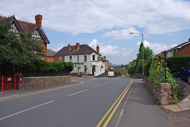
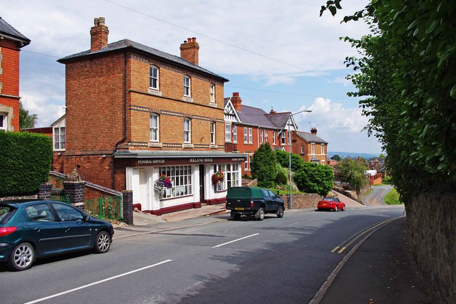
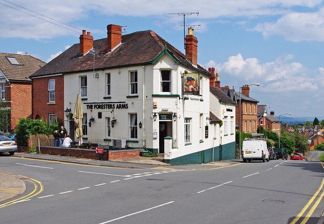
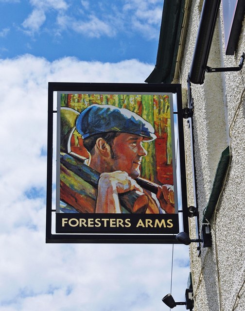
Hall Green Images

Images are sourced within 2km of 52.10609/-2.2851197 or Grid Reference SO8045. Thanks to Geograph Open Source API. All images are credited.

Footbridges at the junction of footpaths near Blackmore End
Minor road on the northern edge of Guarlford
Pylons cross the road near White House Farm
Construction of the new Tesco Express On the site of the Gas Tavern pub.
Construction of the new Tesco Express
On the site of the Gas Tavern pub.
Construction of the new Tesco Express Built on the site of the Gas Tavern pub.
Construction of the new Tesco Express
Built on the site of the Gas Tavern pub.
Construction of the new Tesco Express Built on the site of the demolished Gas Tavern pub.
Three 2-bedroom houses are included in the plan.
Construction of the new Tesco Express
Built on the site of the demolished Gas Tavern pub. Three 2-bedroom houses are included in the plan.
MSPCA trough - Well Dressing 2011 - Togetherness The trough, erected at the beginning of the 20th century by the Malvern Society for the Prevention of Cruelty to Animals as a memorial to the horses who suffered in the Boer War, has been decorated by a team led by Stephanie Underwood-Webb. 
Begun as a solo venture it soon became a community project and has been rewarded with a Gold Award.
"You aren't a proper couple until you understand everything the other hasn't said." 
The trough used to be located on the large oddly shaped traffic island in Barnards Green shopping area, but has been at this position, by the Guarlford straight for many decades.
Worcestershire Beacon is in the distance.
<a href="https://www.geograph.org.uk/photo/2395889">SO7945 : MSPCA trough - Well Dressing 2011 - Togetherness</a>
MSPCA trough - Well Dressing 2011 - Togetherness
The trough, erected at the beginning of the 20th century by the Malvern Society for the Prevention of Cruelty to Animals as a memorial to the horses who suffered in the Boer War, has been decorated by a team led by Stephanie Underwood-Webb. Begun as a solo venture it soon became a community project and has been rewarded with a Gold Award. "You aren't a proper couple until you understand everything the other hasn't said." The trough used to be located on the large oddly shaped traffic island in Barnards Green shopping area, but has been at this position, by the Guarlford straight for many decades. Worcestershire Beacon is in the distance. SO7945 : MSPCA trough - Well Dressing 2011 - Togetherness
MSPCA trough - Well Dressing 2011 - Togetherness The trough, erected at the beginning of the 20th century by the Malvern Society for the Prevention of Cruelty to Animals as a memorial to the horses who suffered in the Boer War, has been decorated by a team led by Stephanie Underwood-Webb. 
Begun as a solo venture it soon became a community project and has been rewarded with a Gold Award.

"And so we stand together,
The horses, thee and me,
As the beasts take sips from the old stone trough
The world turns, quietly."

<a href="https://www.geograph.org.uk/photo/2395867">SO7945 : MSPCA trough - Well Dressing 2011 - Togetherness</a>
MSPCA trough - Well Dressing 2011 - Togetherness
The trough, erected at the beginning of the 20th century by the Malvern Society for the Prevention of Cruelty to Animals as a memorial to the horses who suffered in the Boer War, has been decorated by a team led by Stephanie Underwood-Webb. Begun as a solo venture it soon became a community project and has been rewarded with a Gold Award. "And so we stand together, The horses, thee and me, As the beasts take sips from the old stone trough The world turns, quietly." SO7945 : MSPCA trough - Well Dressing 2011 - Togetherness
New Tesco Express on Pickersleigh Road On the site of the old "New Gas Tavern" pub.
The slates are on the roofs of the new homes and the rafters are up for the store.
New Tesco Express on Pickersleigh Road
On the site of the old "New Gas Tavern" pub. The slates are on the roofs of the new homes and the rafters are up for the store.
Bus Shelter, Pickersleigh Road, Malvern Substantial brick built with concrete roof at the junction with Madresfield Road.
Bus Shelter, Pickersleigh Road, Malvern
Substantial brick built with concrete roof at the junction with Madresfield Road.
Malvern cemetery Set up by the local council after the Church of England churchyard was nearly full.
As Malvern grew rapidly in the Victorian times, new churches were built without graveyards.
Another municipal cemetery was created in Malvern Wells.
Malvern cemetery
Set up by the local council after the Church of England churchyard was nearly full. As Malvern grew rapidly in the Victorian times, new churches were built without graveyards. Another municipal cemetery was created in Malvern Wells.
Barnard's Green Road (B4211), Great Malvern This road forms part of the B4211. On the left, on the corner of Wilton Road, is a pub called The Forester's Arms. The wall-mounted postbox seen on the left, can be viewed in more detail here:- <a href="https://www.geograph.org.uk/photo/2505839">SO7845 : George VI wall mounted postbox, Barnard's Green Road, Great Malvern</a>.

<a href="https://www.geograph.org.uk/photo/2506803">SO7845 : The Foresters Arms (1), 2 Wilton Road, Great Malvern</a>.
Barnard's Green Road (B4211), Great Malvern
This road forms part of the B4211. On the left, on the corner of Wilton Road, is a pub called The Forester's Arms. The wall-mounted postbox seen on the left, can be viewed in more detail here:- SO7845 : George VI wall mounted postbox, Barnard's Green Road, Great Malvern. SO7845 : The Foresters Arms (1), 2 Wilton Road, Great Malvern.
Holland House Funeral Services, 71 Barnard's Green Road, Great Malvern A firm of funeral directors is located here.
Holland House Funeral Services, 71 Barnard's Green Road, Great Malvern
A firm of funeral directors is located here.
The Foresters Arms (1), 2 Wilton Road, Great Malvern Not really a food pub, but a popular local. Located on the corner of Wilton Road and Barnard's Green Road.

<a href="https://www.geograph.org.uk/photo/2506815">SO7845 : The Foresters Arms (2) - sign, 2 Wilton Road, Great Malvern</a>.
The Foresters Arms (1), 2 Wilton Road, Great Malvern
Not really a food pub, but a popular local. Located on the corner of Wilton Road and Barnard's Green Road. SO7845 : The Foresters Arms (2) - sign, 2 Wilton Road, Great Malvern.
The Foresters Arms (2) - sign, 2 Wilton Road, Great Malvern The pub:- <a href="https://www.geograph.org.uk/photo/2506803">SO7845 : The Foresters Arms (1), 2 Wilton Road, Great Malvern</a>.
The Foresters Arms (2) - sign, 2 Wilton Road, Great Malvern
The 500th council house in post-war Malvern There was a huge shortage of housing in the post war period so new building programmes started in March 1946.
The first council house was completed in November 1946 and the hundredth in January 1948.
The 500th house (27, Orford Way - the cream coloured one on the right) was completed in April 1951 and a special ceremony took place outside on Thursday April 26th.
After unlocking the door Mr James Wilkins, Chairman of the Council, handed the key over to the new occupier, Mr S. Wall.
There was tea and a cake was cut - a replica of the house.
Another 110 houses were under construction at that time.
The private sector were also building houses for sale and the Ministry of Supply were constructing houses for scientists who worked at the Radar Research Establishment as it was then called making a total of 870 new houses since the war.
The 500th council house in post-war Malvern
There was a huge shortage of housing in the post war period so new building programmes started in March 1946. The first council house was completed in November 1946 and the hundredth in January 1948. The 500th house (27, Orford Way - the cream coloured one on the right) was completed in April 1951 and a special ceremony took place outside on Thursday April 26th. After unlocking the door Mr James Wilkins, Chairman of the Council, handed the key over to the new occupier, Mr S. Wall. There was tea and a cake was cut - a replica of the house. Another 110 houses were under construction at that time. The private sector were also building houses for sale and the Ministry of Supply were constructing houses for scientists who worked at the Radar Research Establishment as it was then called making a total of 870 new houses since the war.
Clare Road, Sherrards Green, Malvern Part of the massive post-war boom in council house construction. 
500 council houses were completed in 5 years.
From the alterations that have taken place it would appear that many of these have been sold off.
Worcestershire Beacon in the background.
Clare Road, Sherrards Green, Malvern
Part of the massive post-war boom in council house construction. 500 council houses were completed in 5 years. From the alterations that have taken place it would appear that many of these have been sold off. Worcestershire Beacon in the background.
Show me another place!

Hall Green is located at Grid Ref: SO8045 (Lat: 52.10609, Lng: -2.2851197)

Administrative County: Worcestershire

District: Malvern Hills

Police Authority: West Merica

What 3 Words

///remit.homing.prancing. Near Great Malvern, Worcestershire

Nearby Locations

Hall Green

Related Wikis

Guarlford

Guarlford is a village and civil parish in the Malvern Hills district in the county of Worcestershire, England. The parish population was 261 in 2021....

Poolbrook

Poolbrook is a village and a suburb of Malvern, Worcestershire, England, situated approximately 1.5 miles (2.4 km) southeast of Great Malvern, the town...

Sherrard's Green

Sherrard's Green is a village and a suburb of Malvern, Worcestershire, England, situated approximately 1.5 miles (2.4 km) southeast of Great Malvern, the...

The Chase School

The Chase School is a secondary school (ages 11–18) in Malvern, Worcestershire, England. The school opened as a Secondary Modern in 1953 under headteacher...

Nearby Amenities

Located within 500m of 52.10609,-2.2851197
Power: pole
Lat/Long: 52.1101252/-2.285234
Power: pole
Lat/Long: 52.1092209/-2.2851737
Power: pole
Lat/Long: 52.1083354/-2.2851348
New House Farm Guarlford
Power: pole
Transformer: distribution
Voltage Primary: 11000
Lat/Long: 52.1070052/-2.2784923
Power: pole
Lat/Long: 52.1070455/-2.2793144
Power: pole
Lat/Long: 52.1069278/-2.2803504
Power: pole
Lat/Long: 52.1068149/-2.2814655
New House Farm Cottage Guarlford
Power: pole
Transformer: distribution
Voltage Primary: 11000
Lat/Long: 52.1066913/-2.282466
Power: pole
Lat/Long: 52.1070628/-2.2837964
Chances Lane
Power: pole
Transformer: distribution
Voltage Primary: 11000
Lat/Long: 52.1074211/-2.2850597
Power: pole
Lat/Long: 52.1059179/-2.2807146
Power: pole
Lat/Long: 52.106263/-2.2806019
Hall Green South
Power: pole
Transformer: distribution
Voltage Primary: 11000
Lat/Long: 52.1084635/-2.2912214
Power: pole
Lat/Long: 52.1088832/-2.2897247
Hall Green Close
Power: pole
Transformer: distribution
Voltage Primary: 11000
Lat/Long: 52.1092036/-2.2885747
Power: pole
Lat/Long: 52.1093452/-2.2870177
Power: pole
Lat/Long: 52.109748/-2.2859086
Garlford Road
Power: pole
Transformer: distribution
Voltage Primary: 11000
Lat/Long: 52.105394/-2.2862935
Power: pole
Lat/Long: 52.1045291/-2.2864216
Green Dragon
Power: pole
Transformer: distribution
Voltage Primary: 11000
Lat/Long: 52.1058565/-2.291729
Power: pole
Lat/Long: 52.1050472/-2.291379
Power: pole
Lat/Long: 52.1041996/-2.2910155
Power: pole
Lat/Long: 52.1040513/-2.2897562
Power: pole
Lat/Long: 52.1038899/-2.2883749
Power: pole
Lat/Long: 52.103665/-2.286559
Power: pole
Lat/Long: 52.103776/-2.2874334
Power: pole
Lat/Long: 52.1034912/-2.2851321
Power: pole
Lat/Long: 52.1033108/-2.2836851
Power: pole
Lat/Long: 52.1031394/-2.2822353
Power: pole
Lat/Long: 52.105027/-2.2808714
Power: pole
Lat/Long: 52.1044891/-2.2809854
Power: pole
Lat/Long: 52.1038087/-2.2811286
Power: pole
Lat/Long: 52.1030892/-2.2812905
Power: pole
Lat/Long: 52.1030834/-2.2811899
Woodbridge Farm
Power: pole
Transformer: distribution
Voltage Primary: 11000
Lat/Long: 52.1030406/-2.2803363
The data included in this document is from www.openstreetmap.org. The data is made available under ODbL.

Have you been to Hall Green?

Leave your review of Hall Green below (or comments, questions and feedback).