Gospenheale

Settlement in Cornwall

England

Gospenheale

Pipers Pool Chapel
Pipers Pool Chapel Credit: Paul Barnett

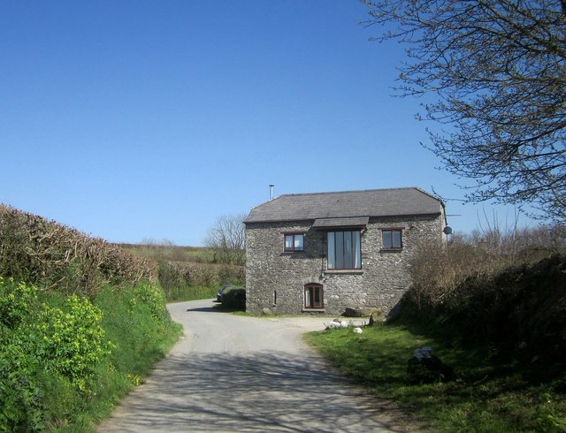
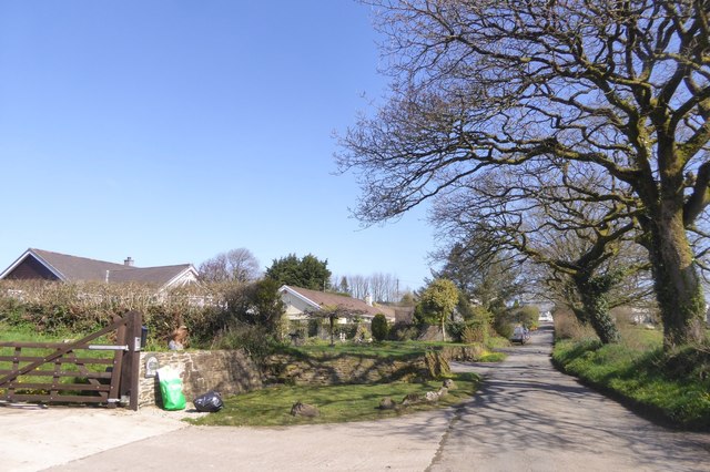
Gospenheale is a small village located in the county of Cornwall, England. Situated in the beautiful countryside, it is surrounded by rolling hills and picturesque landscapes. The village is part of the civil parish of St. Clether and falls within the administrative district of North Cornwall.

Gospenheale is known for its tranquility and natural beauty, making it a popular destination for those seeking a peaceful retreat away from the hustle and bustle of city life. The village is home to a close-knit community, and its residents take pride in maintaining the traditional charm of the area.

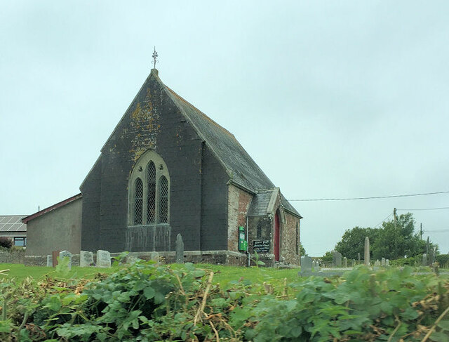
One of the notable features of Gospenheale is its historic church, St. Clether Church, which dates back to the 15th century. This architecturally stunning building attracts visitors from near and far, who come to admire its unique design and soak in the peaceful atmosphere.

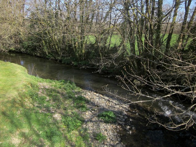
The village also offers access to various outdoor activities, such as hiking and cycling, thanks to its proximity to the stunning Bodmin Moor. The moorland presents opportunities for exploring ancient stone circles, picturesque lakes, and breathtaking vistas.

Although Gospenheale is a small village, it offers a range of amenities for its residents and visitors. These include a village pub, local shops, and a community center, where various events and activities are often organized.

In summary, Gospenheale is a charming village in Cornwall, known for its tranquility, natural beauty, and historic church. It is a perfect destination for those seeking a peaceful retreat and a chance to explore the stunning landscapes of the surrounding area.

If you have any feedback on the listing, please let us know in the comments section below.
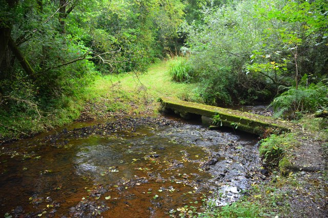
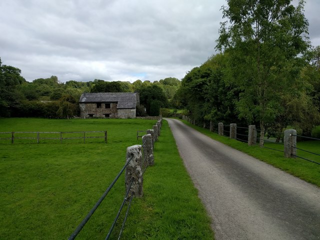
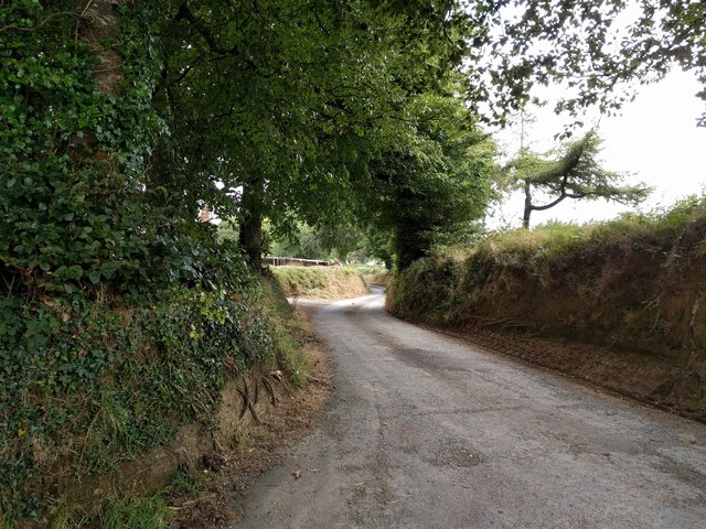
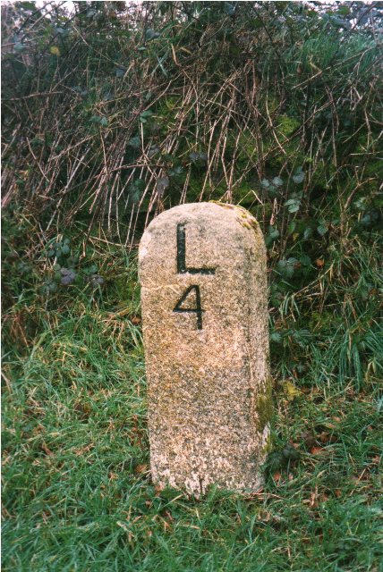
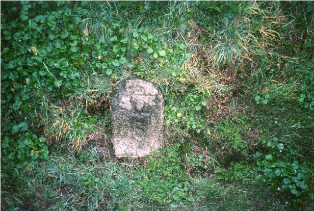
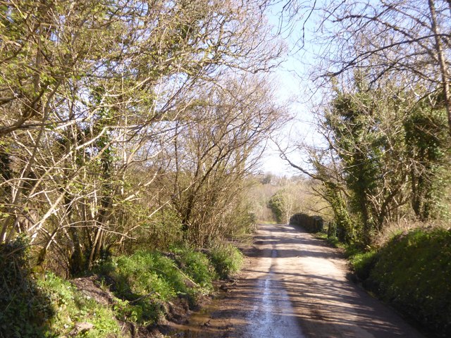
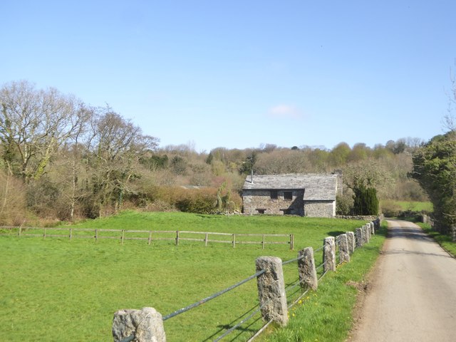
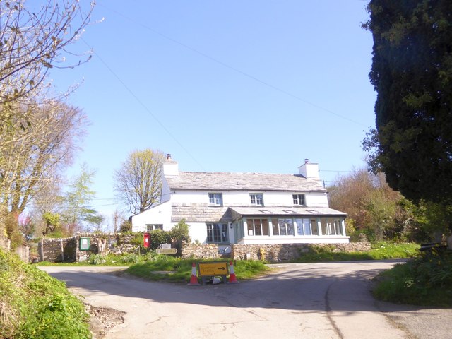
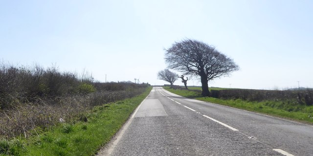
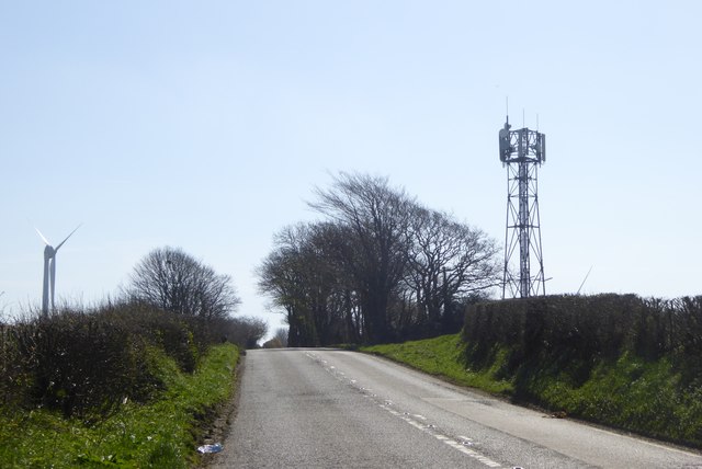
Gospenheale Images

Images are sourced within 2km of 50.632751/-4.4612062 or Grid Reference SX2684. Thanks to Geograph Open Source API. All images are credited.

Pipers Pool Chapel
Pipers Pool Chapel
House at Trevosper On a meandering lane in the countryside between the A30 and the A395.
House at Trevosper
On a meandering lane in the countryside between the A30 and the A395.
River Inny at Trewen Mill On the downstream side of the bridge from which <a href="https://www.geograph.org.uk/photo/4436782">SX2583 : River Inny at Trewen Mill</a> was taken.
River Inny at Trewen Mill
On the downstream side of the bridge from which SX2583 : River Inny at Trewen Mill was taken.
The hedge topping Lane End Field Triangulation Pillar sprouting a Wind Turbine Looking south-eastward. Not sure where the Ordnance Survey got the name of this pillar from other than it is beside a lane at the end of a field.
The hedge topping Lane End Field Triangulation Pillar sprouting a Wind Turbine
Looking south-eastward. Not sure where the Ordnance Survey got the name of this pillar from other than it is beside a lane at the end of a field.
Badharlick Ford This ford on the Amry River is found along the byway at Badharlick.
Badharlick Ford
This ford on the Amry River is found along the byway at Badharlick.
Trewen Mill
Trewen Mill
Under Lane, heading for Launceston
Old Milestone by the A395, north east of Trevosper Carved stone post by the A395, in parish of SOUTH PETHERWIN (NORTH CORNWALL District), 600m North East of Trevosper, opposite lay-by, on North side of road. Launceston pillar, erected by the Launceston turnpike trust in the 19th century. 

Inscription reads:-
L
4 

Grade II Listed. List Entry Number: 1291176
<span class="nowrap"><a title="https://historicengland.org.uk/listing/the-list/list-entry/1291176" rel="nofollow ugc noopener" href="https://historicengland.org.uk/listing/the-list/list-entry/1291176">Link</a><img style="margin-left:2px;" alt="External link" title="External link - shift click to open in new window" src="https://s1.geograph.org.uk/img/external.png" width="10" height="10"/></span>

Milestone Society National ID: CW_LACF04.
Old Milestone by the A395, north east of Trevosper
Carved stone post by the A395, in parish of SOUTH PETHERWIN (NORTH CORNWALL District), 600m North East of Trevosper, opposite lay-by, on North side of road. Launceston pillar, erected by the Launceston turnpike trust in the 19th century. Inscription reads:- L 4 Grade II Listed. List Entry Number: 1291176 LinkExternal link Milestone Society National ID: CW_LACF04.
Old Milestone by the A395, Pipers Pool Carved stone post by the A395, in parish of TREWEN (NORTH CORNWALL District), Pipers Pool, opposite entrance to modern house, against bank, on North side of road. Launceston pillar, erected by the Launceston turnpike trust in the 19th century. 

Inscription reads:-
L
5  

Grade II Listed. List Entry Number: 1250164
<span class="nowrap"><a title="https://historicengland.org.uk/listing/the-list/list-entry/1250164" rel="nofollow ugc noopener" href="https://historicengland.org.uk/listing/the-list/list-entry/1250164">Link</a><img style="margin-left:2px;" alt="External link" title="External link - shift click to open in new window" src="https://s1.geograph.org.uk/img/external.png" width="10" height="10"/></span>

Milestone Society National ID: CW_LACF05.
Old Milestone by the A395, Pipers Pool
Carved stone post by the A395, in parish of TREWEN (NORTH CORNWALL District), Pipers Pool, opposite entrance to modern house, against bank, on North side of road. Launceston pillar, erected by the Launceston turnpike trust in the 19th century. Inscription reads:- L 5 Grade II Listed. List Entry Number: 1250164 LinkExternal link Milestone Society National ID: CW_LACF05.
Bridge over River Inny at Trewen Mill Listed bridge from 19th century  <span class="nowrap"><a title="https://historicengland.org.uk/listing/the-list/list-entry/1263382" rel="nofollow ugc noopener" href="https://historicengland.org.uk/listing/the-list/list-entry/1263382">Link</a><img style="margin-left:2px;" alt="External link" title="External link - shift click to open in new window" src="https://s1.geograph.org.uk/img/external.png" width="10" height="10"/></span>
Bridge over River Inny at Trewen Mill
Listed bridge from 19th century LinkExternal link
Trewen Mill Marked as a corn mill on older OS maps
Trewen Mill
Marked as a corn mill on older OS maps
Road junction in Trewen
Bungalows at the south of Pipers Pool On the road from Trewen
Bungalows at the south of Pipers Pool
On the road from Trewen
House in Pipers Pool by A395 Pipers Pool is a hamlet on the main road; there is a speed limit, but the straight stretch of road means the limit is not observed
House in Pipers Pool by A395
Pipers Pool is a hamlet on the main road; there is a speed limit, but the straight stretch of road means the limit is not observed
The road to Gospenheale from Pipers Pool A similar view to that in <a href="https://www.geograph.org.uk/photo/4436577">SX2684 : Junction at Pipers Pool</a>
The road to Gospenheale from Pipers Pool
A similar view to that in SX2684 : Junction at Pipers Pool
A395 junction with road for Trenault The field boundary on the right has been set back to give a view of the straight stretch of the A395
A395 junction with road for Trenault
The field boundary on the right has been set back to give a view of the straight stretch of the A395
Wind-shaped tree by A395 near Pipers Pool
Communications mast and wind turbine by A395 These are both on the flat top of a hill, marked by a trig pillar <a href="https://www.geograph.org.uk/photo/4732000">SX2783 : The hedge topping Lane End Field Triangulation Pillar sprouting a Wind Turbine</a>
Communications mast and wind turbine by A395
These are both on the flat top of a hill, marked by a trig pillar SX2783 : The hedge topping Lane End Field Triangulation Pillar sprouting a Wind Turbine
Show me another place!

Gospenheale is located at Grid Ref: SX2684 (Lat: 50.632751, Lng: -4.4612062)

Unitary Authority: Cornwall

Police Authority: Devon and Cornwall

What 3 Words

///benched.summer.stun. Near Trewen, Cornwall

Nearby Locations

Gospenheale

Related Wikis

Piper's Pool

Piper's Pool (or Pipers Pool) is a hamlet in east Cornwall, England, UK. It is on the A395 road about 5½ miles west of Launceston. == References ==

Trewen

Trewen (Cornish: Trewynn) is a hamlet and a civil parish in east Cornwall, England, United Kingdom The parish is just east of Bodmin Moor in the River...

Hidden Valley Discovery Park

Hidden Valley Discovery Park is a family-run visitor attraction near the town of Launceston, Cornwall, England, UK. Founded in 1994 by Pete Jones, as a...

Polyphant

Polyphant (Cornish: Pollefans), recorded as Polefant c. 1170, is a village in east Cornwall, England, United Kingdom. It is north of the civil parish of...

Egloskerry

Egloskerry (Cornish: Egloskeri) is a village and civil parish in east Cornwall, England, United Kingdom. It is situated approximately five miles (8.0 km...

Badharlick

Badharlick (Cornish: Bos Harlek, meaning Harlek's dwelling) is a hamlet in the parish of Egloskerry, Cornwall, England, United Kingdom, situated halfway...

Two Bridges, Cornwall

Two Bridges is a settlement in east Cornwall, England, United Kingdom, 4 miles (6 km) west-southwest of Launceston at the point where the A30 trunk road...

Penpont Water

Penpont Water (Cornish: Dowr Pen Pont, meaning river at the head of a bridge) is a small river in east Cornwall, United Kingdom. It is a tributary of...

Related Videos

Eynsford Circular: Exploring the Charming Kent Countryside | UK Hiking Trails 🇬🇧

Embark on a delightful journey through the picturesque Kent countryside with the Eynsford Circular walk. This scenic trail takes ...

Hidden Valley Cornwall

Hi everyone! Today we visit Hidden Valley in Cornwall. Filled with puzzles, we attempt to solve them all 9 times in the Forbidden ...

Hidden Valley Puzzle Park: A Maze of Fun and Adventure!

cornwall #puzzle #themepark #travel #travelvlog #daysoutwithkids In Launceston lies Hidden Valley: The Puzzle Park, this is a ...

Nearby Amenities

Located within 500m of 50.632751,-4.4612062
Pipers Pool
Is In: Cornwall, England, UK
Is In Country: England
Is In Country Code: GB
Is In County: Cornwall
Name Kw: Pollpiber
Place: village
Wikidata: Q7197372
Lat/Long: 50.6306605/-4.4639914
Bus Stop
Post Box
Naptan AtcoCode: 0800COA15022
Naptan Bearing: SE
Naptan CommonName: Post Box
Naptan NaptanCode: cordtgdj
Naptan Street: A395
Naptan Verified: no
Source: naptan_import
Lat/Long: 50.6311943/-4.4629432
Give Way
Lat/Long: 50.6308145/-4.4603521
Give Way
Lat/Long: 50.6310354/-4.4623606
Power: pole
Lat/Long: 50.6296552/-4.460578
Power: pole
Lat/Long: 50.6288113/-4.4604807
Post Box
Brand: Royal Mail
Brand Wikidata: Q638098
Collection Times: Mo-Fr 09:00, Sa 07:00
Operator: Royal Mail
Operator Wikidata: Q638098
Post Box Mounting: pier
Post Box Type: lamp
Ref: PL15 90D
Royal Cypher: EIIR
Royal Cypher Wikidata: Q33102113
Survey Date: 2022-12-17
Lat/Long: 50.6312141/-4.4629999
The data included in this document is from www.openstreetmap.org. The data is made available under ODbL.

Have you been to Gospenheale?

Leave your review of Gospenheale below (or comments, questions and feedback).