Godington
Settlement in Oxfordshire Cherwell
England
Godington
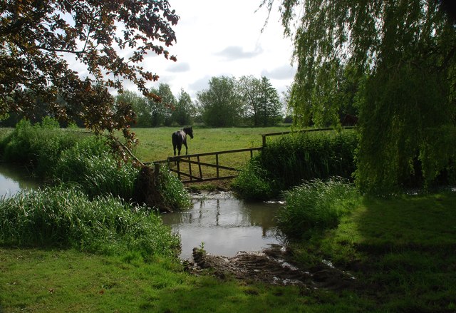
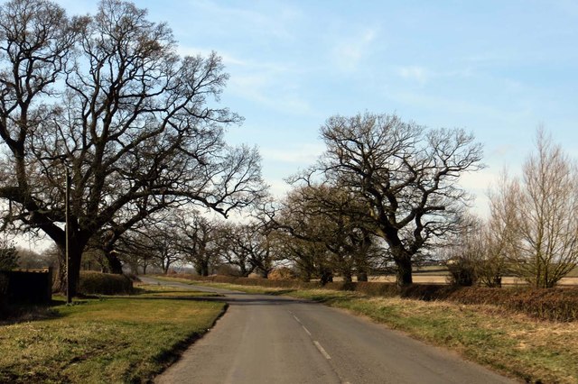
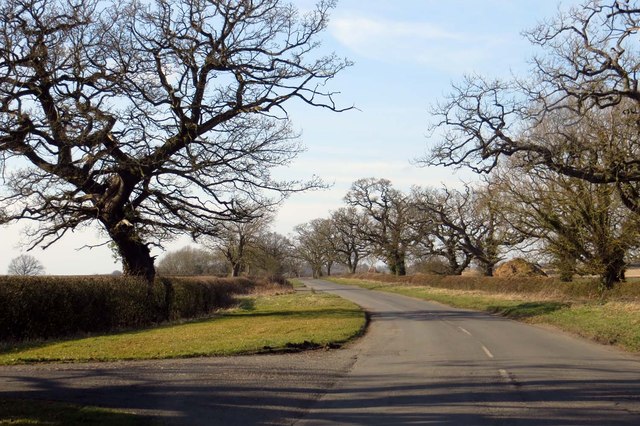
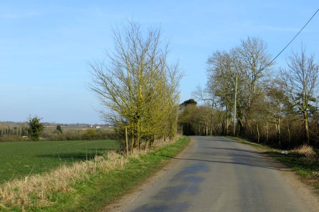
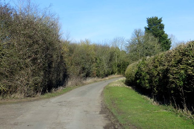
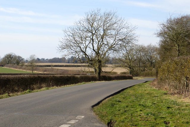
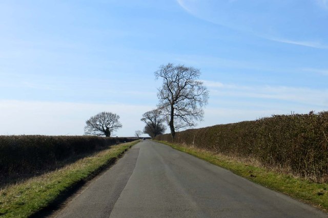
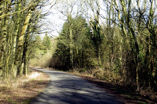
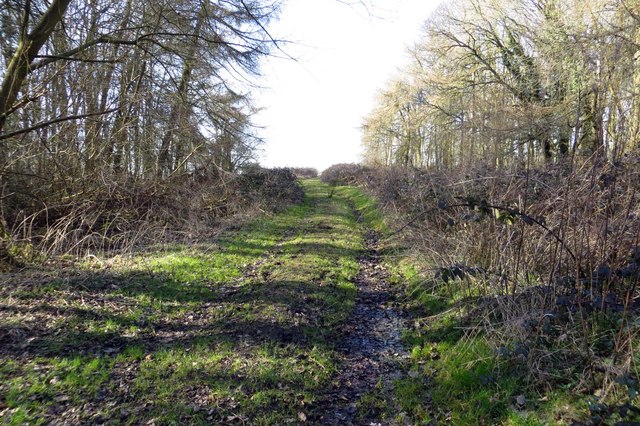
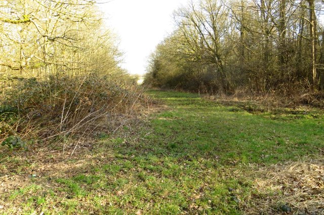
Godington is a small village located in the Cherwell district of Oxfordshire, England. Situated approximately 5 miles northeast of Bicester, it is a rural settlement with a population of around 300 residents. The village is surrounded by picturesque countryside, characterized by rolling hills and fields, offering a peaceful and idyllic setting.
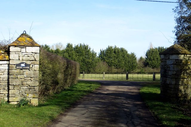
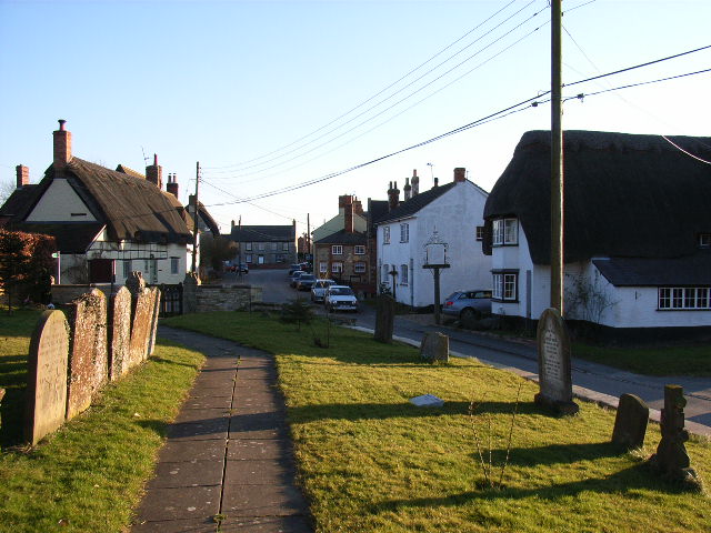
The origins of Godington can be traced back to the Domesday Book of 1086, where it is mentioned as "Godingtone." Throughout history, the village has been predominantly agrarian, with farming playing a significant role in its economy. The landscape is dotted with traditional thatched cottages, giving the area a quaint and charming feel.
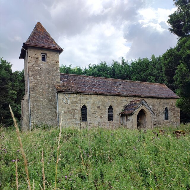
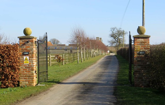
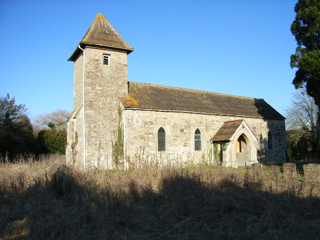
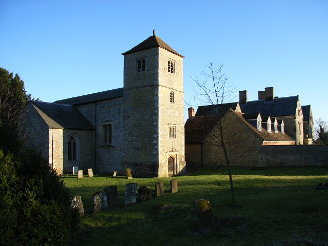
Despite its small size, Godington boasts several notable landmarks. Godington House, an elegant 18th-century manor house, dominates the village and is surrounded by beautifully landscaped gardens. The house is privately owned and not open to the public, but its grandeur can still be appreciated from a distance. Additionally, the Church of St. Mary, a Grade II listed building dating back to the 13th century, stands as a testament to the village's historical heritage.
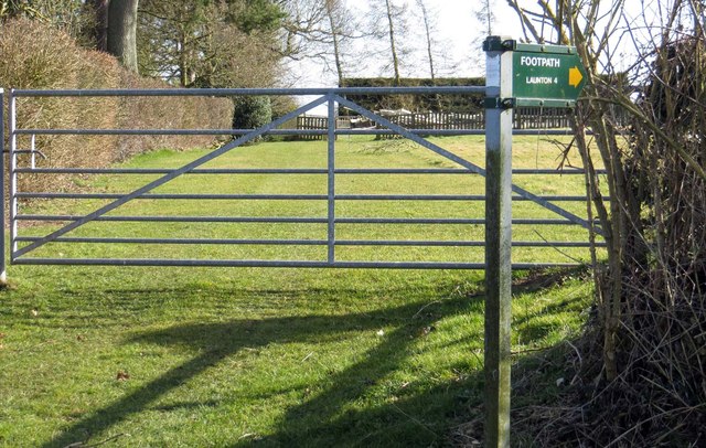
While Godington may lack the amenities of larger towns, its proximity to Bicester provides residents with easy access to a range of services and facilities. The village itself benefits from a strong sense of community, with various social events and activities organized throughout the year.
In conclusion, Godington is a tranquil village in Oxfordshire, rich in history and surrounded by picturesque countryside. Its small population and rural setting make it an appealing location for those seeking a peaceful and close-knit community.
If you have any feedback on the listing, please let us know in the comments section below.
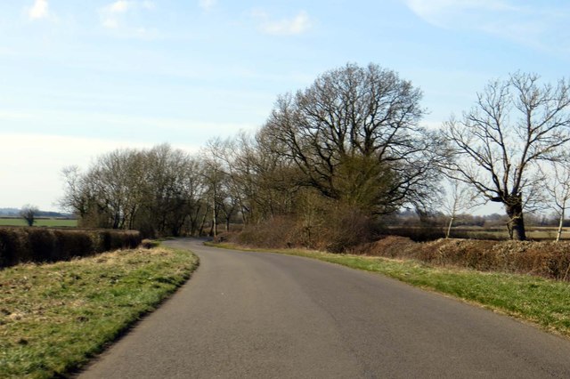
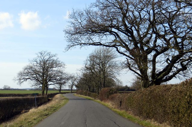
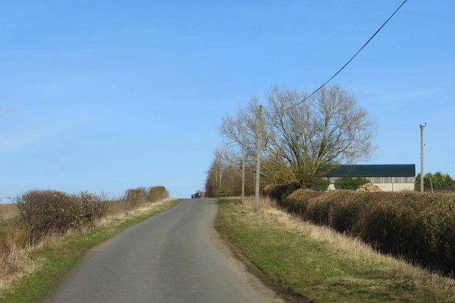
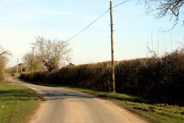
Godington Images
Images are sourced within 2km of 51.941253/-1.0729323 or Grid Reference SP6327. Thanks to Geograph Open Source API. All images are credited.
Godington is located at Grid Ref: SP6327 (Lat: 51.941253, Lng: -1.0729323)
Administrative County: Oxfordshire
District: Cherwell
Police Authority: Thames Valley
What 3 Words
///mingles.glares.envelope. Near Tingewick, Buckinghamshire
Nearby Locations
Related Wikis
Godington
Godington is a village and civil parish about 5 miles (8 km) northeast of Bicester in Oxfordshire. The parish is bounded on all but the west side by a...

Poundon
Poundon is a hamlet and a civil parish in Aylesbury Vale district in Buckinghamshire, England. It is located near the Oxfordshire border, about four miles...
Chetwode
Chetwode () is a village and civil parish about 4 miles (6.4 km) southwest of Buckingham in the Aylesbury Vale district of Buckinghamshire. The parish...

Twyford, Buckinghamshire
Twyford is a village and civil parish in the Aylesbury Vale district of Buckinghamshire, England. It is about 2 miles (3 km) west of Steeple Claydon and...

Marsh Gibbon and Poundon railway station
Marsh Gibbon and Poundon railway station was a railway station to the west of Verney Junction on the Oxford and Bletchley section of the LNWR's branch...
Preston Bissett
Preston Bissett is a village and civil parish in the unitary authority area of Buckinghamshire, England. It is about four miles SSW of Buckingham, six...

Newton Purcell with Shelswell
Newton Purcell with Shelswell is a civil parish in Oxfordshire, England. It was formed in 1932 by merger of the parishes of Newton Purcell (grid reference...

Stratton Audley
Stratton Audley is a village and civil parish about 2.5 miles (4 km) northeast of Bicester in Oxfordshire, England. == Manor == The Domesday Book of 1086...
Nearby Amenities
Located within 500m of 51.941253,-1.0729323Have you been to Godington?
Leave your review of Godington below (or comments, questions and feedback).