Glascoed

Settlement in Montgomeryshire

Wales

Glascoed

A495 near Tan y Ffridd
A495 near Tan y Ffridd Credit: Steven Brown

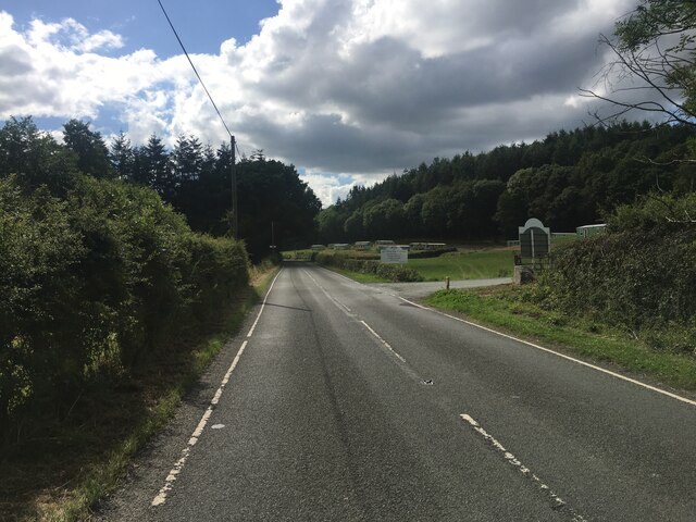
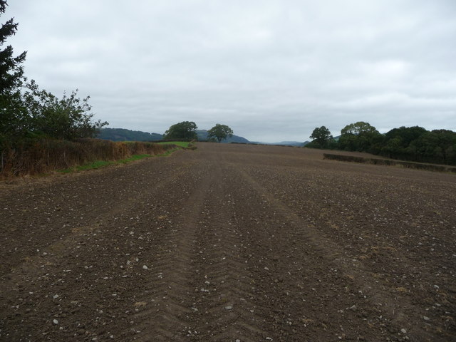
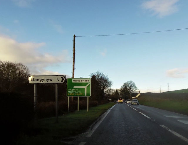
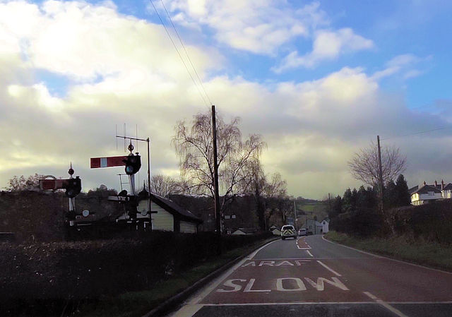
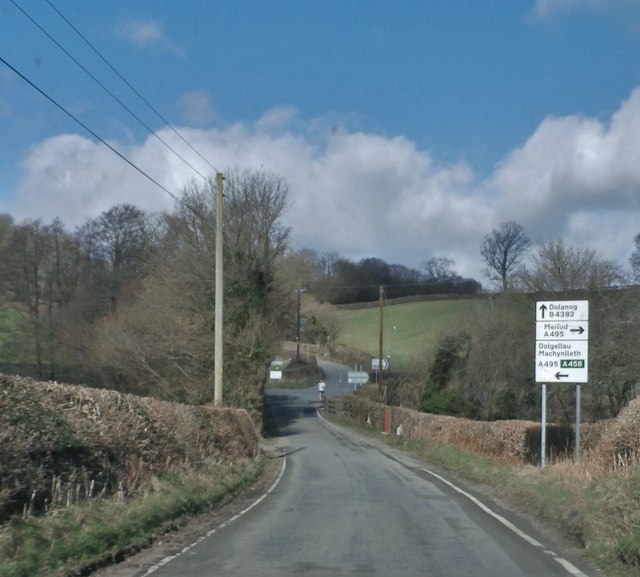
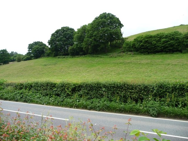
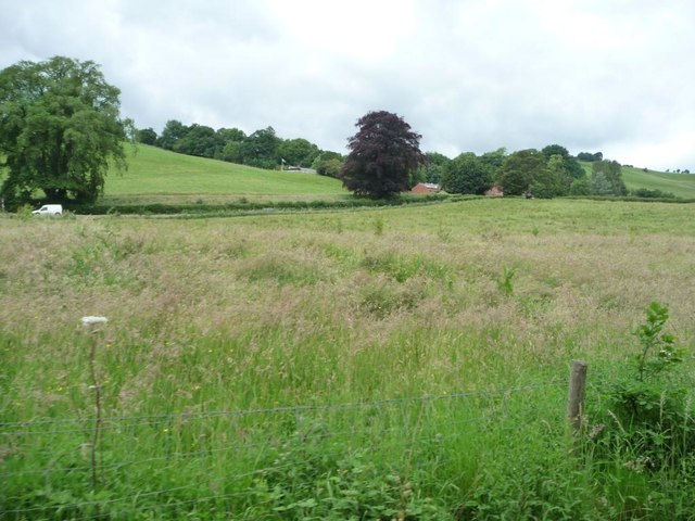
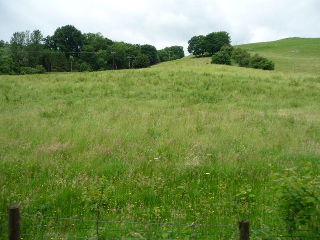
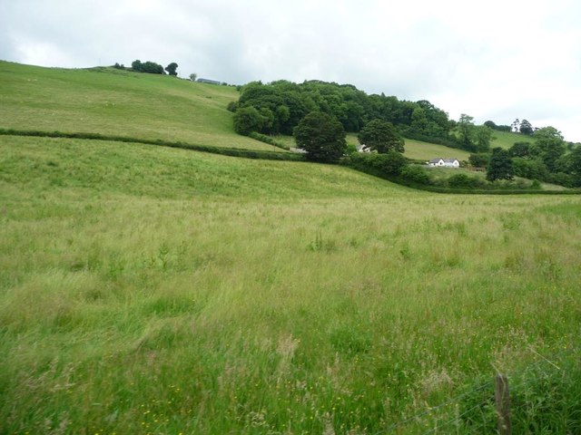
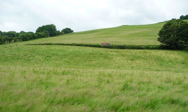
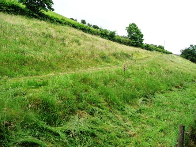
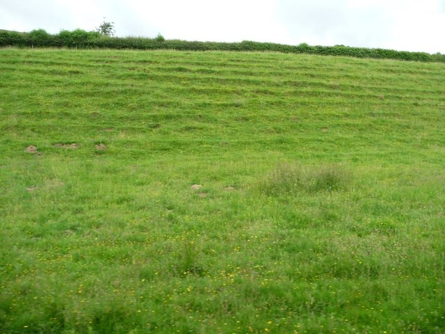
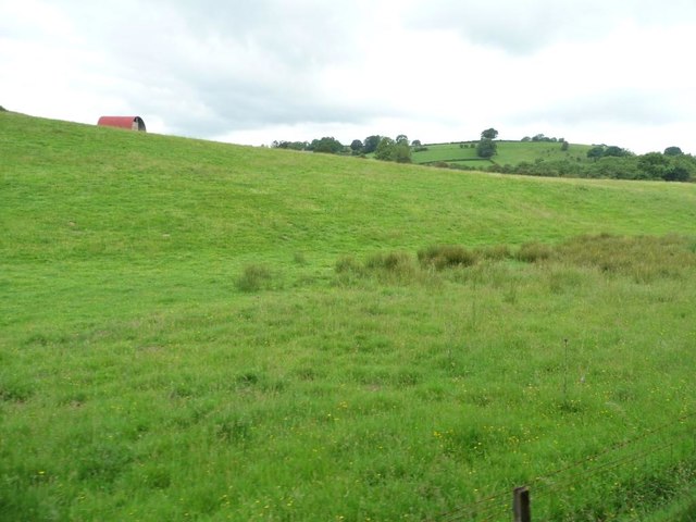
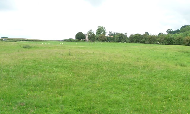
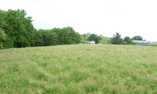
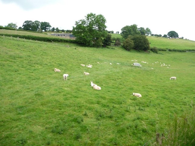
Glascoed is a small village located in the county of Montgomeryshire in Wales, United Kingdom. Situated in the picturesque region of Mid Wales, it is nestled in the beautiful countryside surrounded by rolling hills and lush green fields. The village is part of the wider community of Llanerfyl and enjoys a peaceful and rural setting.

With a population of around 200 residents, Glascoed is a close-knit community where neighbors are familiar with one another. The village is primarily residential, with a mix of traditional cottages and newer houses. The architecture reflects the rural charm, with many buildings constructed using local stone.

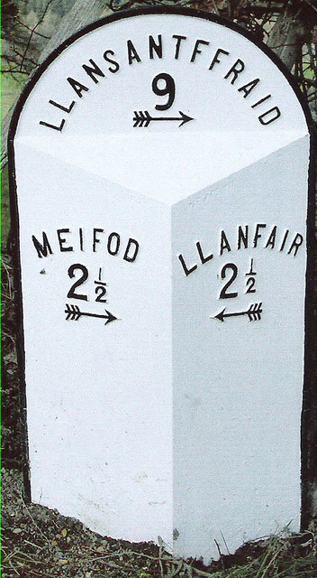
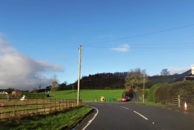
Although Glascoed is small in size, it offers a range of amenities to cater to the needs of its residents. These include a local primary school, a village hall, and a post office. The village is well connected to neighboring towns and villages through a network of well-maintained roads.

The surrounding countryside provides ample opportunities for outdoor activities and exploration. Glascoed is close to the River Banwy, which is popular among anglers for trout and salmon fishing. Walking and hiking enthusiasts can explore the nearby hills and countryside, enjoying breathtaking views and abundant wildlife.

Overall, Glascoed is a charming village that offers a peaceful and idyllic lifestyle for its residents. Its beautiful location, community spirit, and proximity to nature make it an appealing place to live for those seeking a rural retreat in Montgomeryshire.

If you have any feedback on the listing, please let us know in the comments section below.

Glascoed Images

Images are sourced within 2km of 52.666867/-3.3039631 or Grid Reference SJ1108. Thanks to Geograph Open Source API. All images are credited.

A495 near Tan y Ffridd
Old Milestone by the B4389, east of Tanhouse Bridge, Llangyniew Parish Turner Arrow Casting by the B4389, in parish of Llangyniew (Powys District), South of Bryn Erica, in bank.

Surveyed

Milestone Society National ID: MOT_LCLS02
Old Milestone by the B4389, east of Tanhouse Bridge, Llangyniew Parish
Turner Arrow Casting by the B4389, in parish of Llangyniew (Powys District), South of Bryn Erica, in bank. Surveyed Milestone Society National ID: MOT_LCLS02
Field edge footpath The tractor tyres more or less mark the line of the footpath. Quite a bit of pottery sherds in the ploughsoil here, possibly of medieval origin and associated with nearby Mathrafal. Some later stuff in with it. And I wasn't looking hard.
Field edge footpath
The tractor tyres more or less mark the line of the footpath. Quite a bit of pottery sherds in the ploughsoil here, possibly of medieval origin and associated with nearby Mathrafal. Some later stuff in with it. And I wasn't looking hard.
Road junction at Glan-Vyrnwy
A458 at Llangynyw junction
A458 approaching Llanfair Caereinion The railway signals are at the entrance to the Welshpool and Llanfair railway station
A458 approaching Llanfair Caereinion
The railway signals are at the entrance to the Welshpool and Llanfair railway station
The B4382 where it crosses Yr Hafesb
Patch of woodland on a field boundary, near Tan Llan Looking across the A458 from a train on the Welshpool & Llanfair Railway.
Patch of woodland on a field boundary, near Tan Llan
Looking across the A458 from a train on the Welshpool & Llanfair Railway.
Farmland on the north bank of Afon Banwy / River Banwy Between the A458 and the railway line.
Farmland on the north bank of Afon Banwy / River Banwy
Between the A458 and the railway line.
Farmland south-west of Tan Llan On the north bank of the Afon Banwy / River Banwy, below the wooded valley of a small side stream.
Farmland south-west of Tan Llan
On the north bank of the Afon Banwy / River Banwy, below the wooded valley of a small side stream.
Farmland on the north bank of Afon Banwy / River Banwy South of Tan y Bryn, between the A458 and the railway line.
Farmland on the north bank of Afon Banwy / River Banwy
South of Tan y Bryn, between the A458 and the railway line.
Bus heading to Llanfair Caereinion on the A458 Looking northwards from the railway line.
Bus heading to Llanfair Caereinion on the A458
Looking northwards from the railway line.
Access track for Melin Dolrhyd y Defaid Dropping down from the A458 to the former watermill on the banks of the Afon Banwy / River Banwy.
Access track for Melin Dolrhyd y Defaid
Dropping down from the A458 to the former watermill on the banks of the Afon Banwy / River Banwy.
Parallel paths created by sheep Between the 1458 and the railway line, on the north bank of the Afon Banwy / River Banwy.
Parallel paths created by sheep
Between the 1458 and the railway line, on the north bank of the Afon Banwy / River Banwy.
Farmland on the north bank of Afon Banwy Seen from a train on the Welshpool & Llanfair Railway.
Farmland on the north bank of Afon Banwy
Seen from a train on the Welshpool & Llanfair Railway.
Sheep pasture at Heniarth On the north bank of Afon Banwy, between the railway line and the A458.
Sheep pasture at Heniarth
On the north bank of Afon Banwy, between the railway line and the A458.
Grassy field on the north bank of Afon Banwy Alongside a tree-lined small tributary. The distant house is called Noddfa.
Grassy field on the north bank of Afon Banwy
Alongside a tree-lined small tributary. The distant house is called Noddfa.
Sheep pasture at Ty'n-y-wern On the north bank of the Afon Banwy, between the railway line and the A458.
Sheep pasture at Ty'n-y-wern
On the north bank of the Afon Banwy, between the railway line and the A458.
Show me another place!

Glascoed is located at Grid Ref: SJ1108 (Lat: 52.666867, Lng: -3.3039631)

Unitary Authority: Powys

Police Authority: Dyfed Powys

What 3 Words

///plums.troll.fend. Near Llanfair Caereinion, Powys

Nearby Locations

Glascoed

Related Wikis

Heniarth railway station

Heniarth Halt railway station is an unstaffed halt on the narrow gauge Welshpool and Llanfair Light Railway serving the hamlet of Heniarth. This station...

Llangynyw

Llangynyw (also Llangyniew) is a hamlet and community in Montgomeryshire, Powys, mid Wales. It is located on a hill inside a bend in the River Banwy, approximately...

Pentre Camp

Pentre Camp is an Iron Age hillfort, near the hamlet of Llangynyw and about 2.5 miles (4 km) north-east of Llanfair Caereinion, in Powys, Wales. It is...

Cyfronydd railway station

Cyfronydd railway station lies 9.2 km (5.7 mi) from Welshpool's Raven Square station on the narrow gauge Welshpool and Llanfair Light Railway in Mid Wales...

Llanfair Caereinion railway station

Llanfair Caereinion railway station located in Llanfair Caereinion is the Western terminus of the 2 ft 6 in (762 mm) narrow gauge Welshpool and Llanfair...

Llanfair United F.C.

Llanfair United are an amateur football team who are from Llanfair Caereinion, Powys, Wales. They play in the Ardal Leagues North East whilst their reserve...

Battle of Maes Moydog

The Battle of Maes Moydog took place at the field of Moydog (Welsh: Maidog, also Meidiog) on 5 March 1295 during the revolt of Madog ap Llywelyn and others...

Cyfronydd Hall

Cyfronydd Hall is a Welsh country house located on the A458 road between Welshpool and the hamlet of Cyfronydd, Llanfair Caereinion. It was built in about...

Nearby Amenities

Located within 500m of 52.666867,-3.3039631
Give Way
Direction: backward
Lat/Long: 52.666893/-3.3040492
Give Way
Direction: backward
Lat/Long: 52.6658561/-3.3018405
Glascoed
Place: hamlet
Lat/Long: 52.6669781/-3.3030873
The data included in this document is from www.openstreetmap.org. The data is made available under ODbL.

Have you been to Glascoed?

Leave your review of Glascoed below (or comments, questions and feedback).