Gamlingay Great Heath

Settlement in Cambridgeshire South Cambridgeshire

England

Gamlingay Great Heath

Everton church St Mary's Church, Everton.
Everton church Credit: Katie

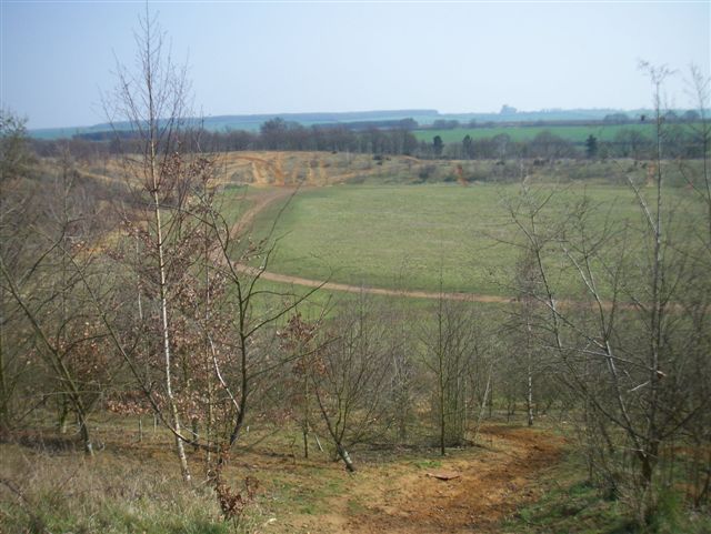
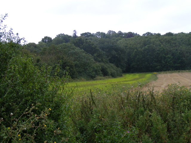
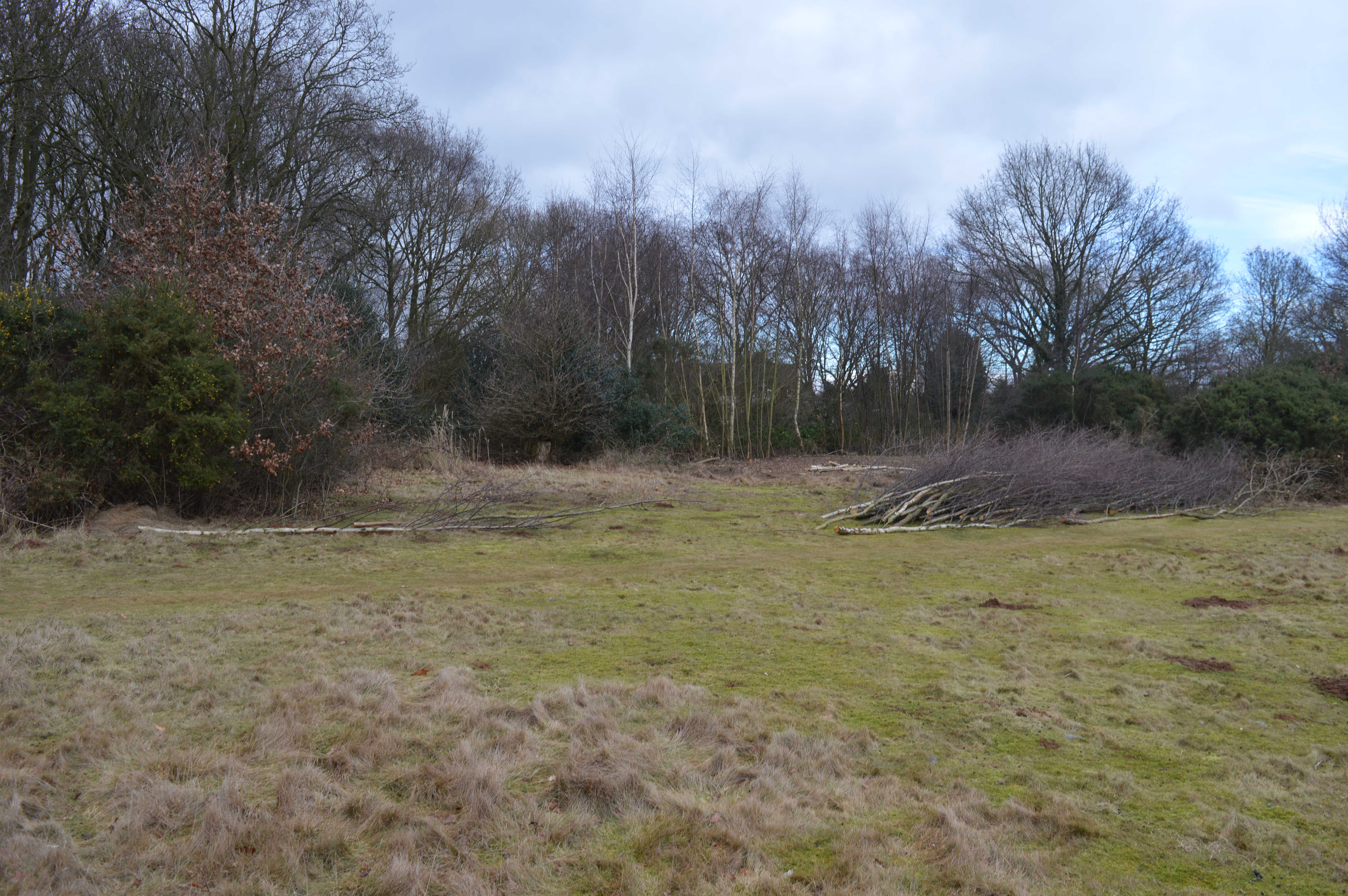
Gamlingay Great Heath is a nature reserve located in the county of Cambridgeshire, England. It covers an area of approximately 100 hectares and is situated near the village of Gamlingay. The heath is managed by the Wildlife Trust for Bedfordshire, Cambridgeshire and Northamptonshire.

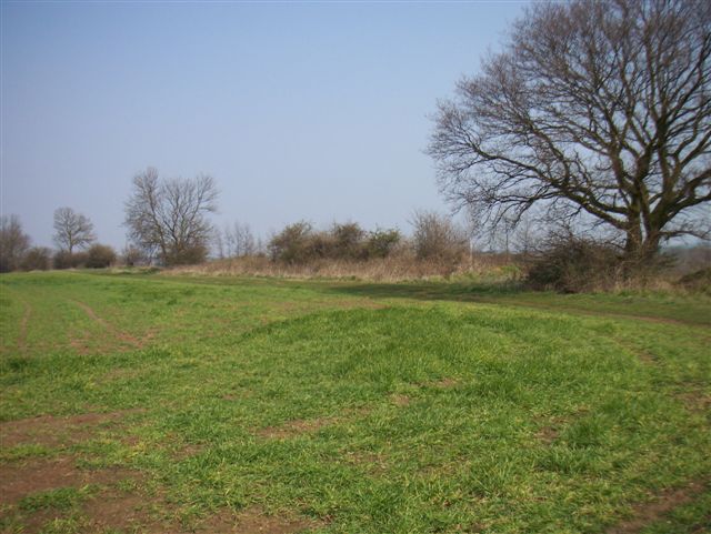
The reserve is characterized by its diverse habitats, including dry heathland, wetland, and woodland. It is home to a variety of plant and animal species, many of which are rare or endangered. The heath is particularly known for its populations of birds, including nightjars, woodlarks, and stonechats.

The dry heathland consists of sandy soils and is covered in heather, gorse, and bracken. It provides a unique habitat for a range of insects, reptiles, and small mammals. The wetland areas, on the other hand, are dominated by reed beds and open water, attracting a plethora of water birds and dragonflies.

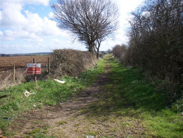
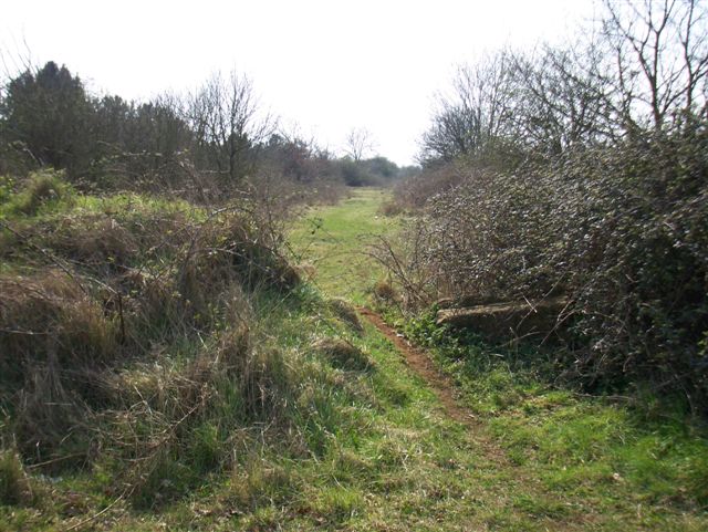
Gamlingay Great Heath offers several walking trails and observation points, allowing visitors to explore and appreciate its natural beauty. The reserve also serves as an important educational resource, providing opportunities for schools and local groups to learn about the importance of conservation and biodiversity.

Overall, Gamlingay Great Heath is a significant nature reserve in Cambridgeshire, offering a rich and diverse ecosystem for both wildlife and visitors to enjoy.

If you have any feedback on the listing, please let us know in the comments section below.

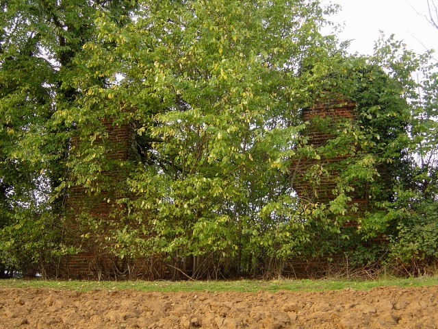
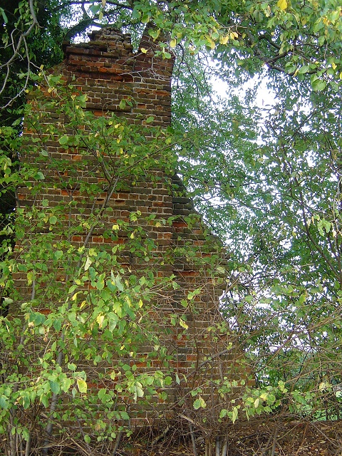
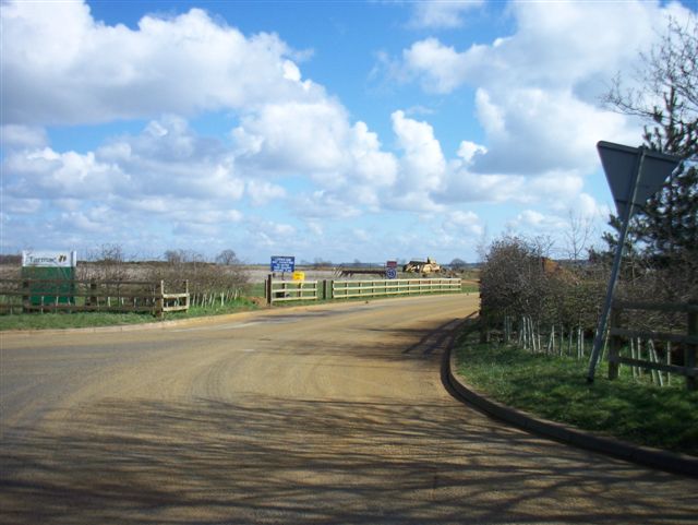
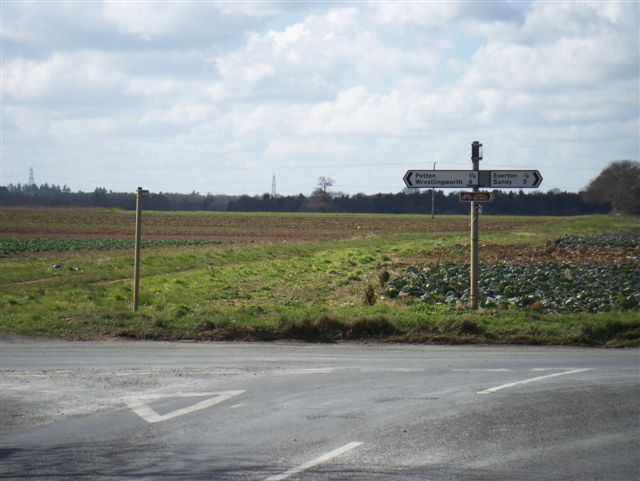
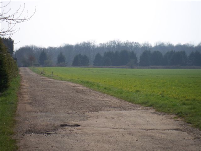
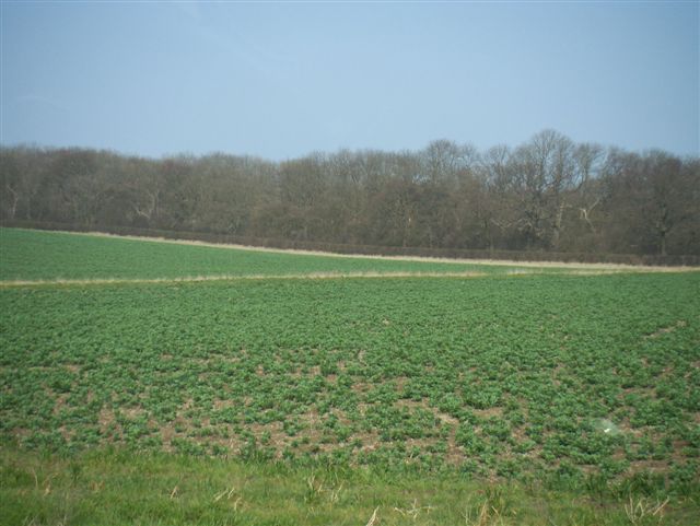
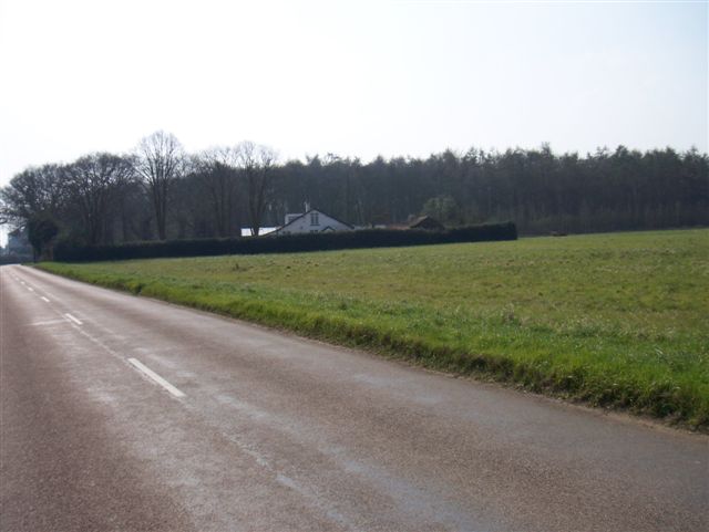
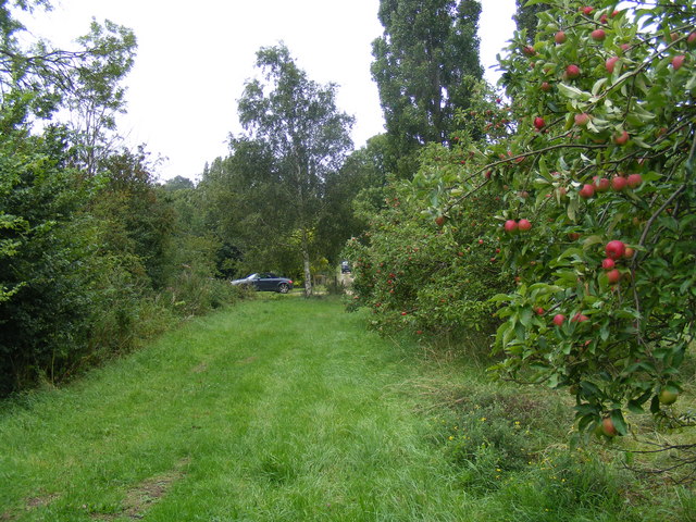
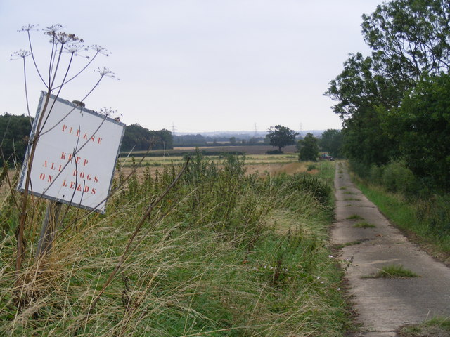
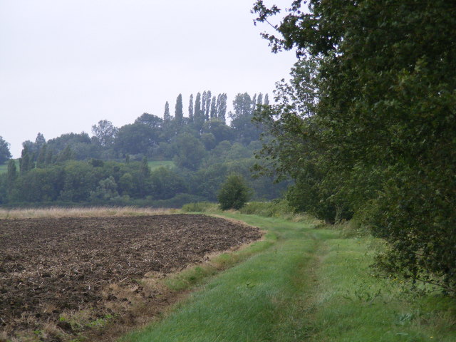
Gamlingay Great Heath Images

Images are sourced within 2km of 52.149693/-0.22475944 or Grid Reference TL2151. Thanks to Geograph Open Source API. All images are credited.

Everton church St Mary's Church, Everton.
Everton church
St Mary's Church, Everton.
Moongate, Gamlingay Cinques Look carefully, and you'll see a crumbling brick edifice behind the foliage. This is the ruin of an 18th-century (?) moongate in the grounds of the now-vanished Gamlingay Hall. The moongate was like a giant circular glassless window through which the full moon could be seen to picturesque advantage. Some believe that the structure was poorly sited and that a full moon would rarely if ever be visible through it. Still, it must have made an intriguing landscape feature, as it still does. A different angle can be seen here: <a href="https://www.geograph.org.uk/photo/267116">TL2252 : Moongate detail, Gamlingay Cinques</a>.
Moongate, Gamlingay Cinques
Look carefully, and you'll see a crumbling brick edifice behind the foliage. This is the ruin of an 18th-century (?) moongate in the grounds of the now-vanished Gamlingay Hall. The moongate was like a giant circular glassless window through which the full moon could be seen to picturesque advantage. Some believe that the structure was poorly sited and that a full moon would rarely if ever be visible through it. Still, it must have made an intriguing landscape feature, as it still does. A different angle can be seen here: TL2252 : Moongate detail, Gamlingay Cinques.
Moongate detail, Gamlingay Cinques This is part of what's left of a ruined 18th-century (?) moongate in the grounds of the now-vanished Gamlingay Hall. The moongate was like a giant circular glassless window through which the full moon could be seen to picturesque advantage. (The circular shape can be clearly seen here.) Some believe that the structure was poorly sited and that a full moon would rarely if ever be visible through it. Still, it must have made an intriguing landscape feature, as it still does. A wider angle can be seen here: <a href="https://www.geograph.org.uk/photo/267111">TL2252 : Moongate, Gamlingay Cinques</a>.
Moongate detail, Gamlingay Cinques
This is part of what's left of a ruined 18th-century (?) moongate in the grounds of the now-vanished Gamlingay Hall. The moongate was like a giant circular glassless window through which the full moon could be seen to picturesque advantage. (The circular shape can be clearly seen here.) Some believe that the structure was poorly sited and that a full moon would rarely if ever be visible through it. Still, it must have made an intriguing landscape feature, as it still does. A wider angle can be seen here: TL2252 : Moongate, Gamlingay Cinques.
Entrance to quarry
Entrance to quarry
Bridleway
Bridleway
Old Church Known locally as the Iron Church?
Old Church
Known locally as the Iron Church?
Which way? Road junction and footpath
Which way?
Road junction and footpath
Footpath to Potton
Footpath to Potton
Farmland
Farmland
Bridleway
Bridleway
Footpath to Potton
Footpath to Potton
Finished digging! Old sand and gravel workings
Finished digging!
Old sand and gravel workings
Still digging! Still active workings
Still digging!
Still active workings
White Wood Named for the house??
White Wood
Named for the house??
Tempting apples at Valley Farm, Tetworth
Lane from Woodbury Hall to Woodbury Low
View towards Tetworth on the path from Cold Arbour
Various shades of green near Tetworth Hall
Show me another place!

Gamlingay Great Heath is located at Grid Ref: TL2151 (Lat: 52.149693, Lng: -0.22475944)

Administrative County: Cambridgeshire

District: South Cambridgeshire

Police Authority: Cambridgeshire

What 3 Words

///emailed.ambushes.caressed. Near Everton, Bedfordshire

Nearby Locations

Gamlingay Great Heath

Related Wikis

Tetworth

Tetworth is a village and former civil parish, now in the parish of Waresley-cum-Tetworth, in Cambridgeshire, England. Tetworth lies approximately 12 miles...

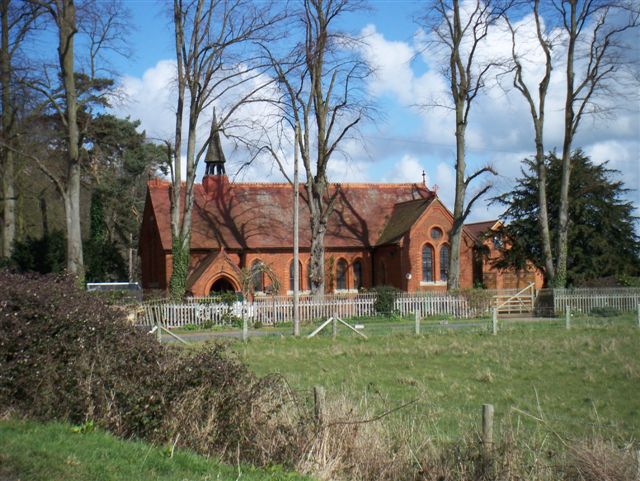
Church of St Mary, Everton, Bedfordshire

Church of St Mary is a Grade I listed church in Everton, Bedfordshire, England. It became a listed building on 26 November 1986. Its most famous rector...

Everton, Bedfordshire

Everton is a small rural village of about 200 dwellings (including outlying) and civil parish in the Central Bedfordshire district of Bedfordshire, England...

Gamlingay Cinques

Gamlingay Cinques is a 3.4-hectare (8.4-acre) nature reserve in Gamlingay in Cambridgeshire. It is managed by the Wildlife Trust for Bedfordshire, Cambridgeshire...

Nearby Amenities

Located within 500m of 52.149693,-0.22475944
Traffic Calming: island
Lat/Long: 52.1497728/-0.2247065
Direction: 230
Generator Method: photovoltaic
Generator Output Electricity: yes
Generator Solar Modules: 7
Generator Source: solar
Generator Type: solar_photovoltaic_panel
Location: roof
Power: generator
Lat/Long: 52.1470883/-0.2285821
Direction: 140
Generator Method: photovoltaic
Generator Output Electricity: yes
Generator Solar Modules: 5
Generator Source: solar
Generator Type: solar_photovoltaic_panel
Location: roof
Power: generator
Lat/Long: 52.1470349/-0.2285929
Historic: milestone
Inscription: 50 Miles from London. The six Miles Stone from ye 44 Mile Stone in Baldock Lane To this Place was set up By Rog, Burgoyne Bart in 1751
Wikidata: Q26457283
Lat/Long: 52.1533065/-0.2223067
The data included in this document is from www.openstreetmap.org. The data is made available under ODbL.

Have you been to Gamlingay Great Heath?

Leave your review of Gamlingay Great Heath below (or comments, questions and feedback).