Fortescue

Settlement in Devon East Devon

England

Fortescue

Shops on School Street in Sidford
Shops on School Street in Sidford Credit: Steve Daniels

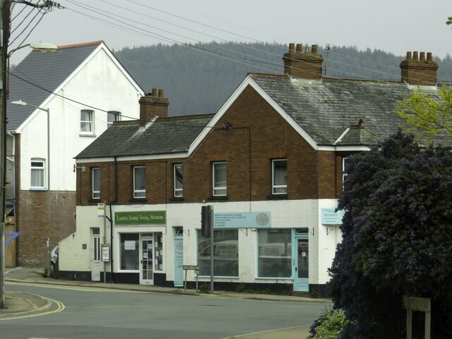
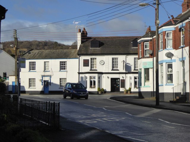
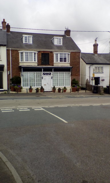
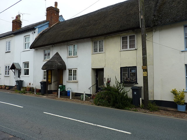
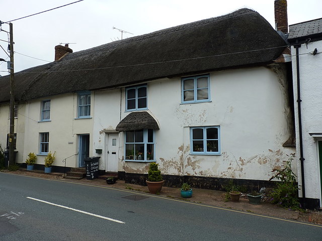
Fortescue is a small village located in the county of Devon, in the southwestern part of England. Situated within the district of Torridge, this charming village is nestled amidst picturesque countryside and offers a tranquil setting for its residents and visitors.

With a population of around 200 people, Fortescue is known for its tight-knit community and welcoming atmosphere. The village is characterized by its quaint cottages, traditional architecture, and well-maintained gardens, which contribute to its idyllic charm.

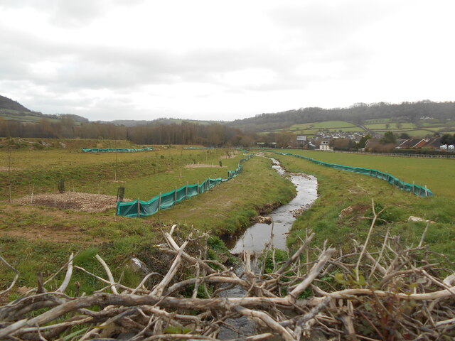
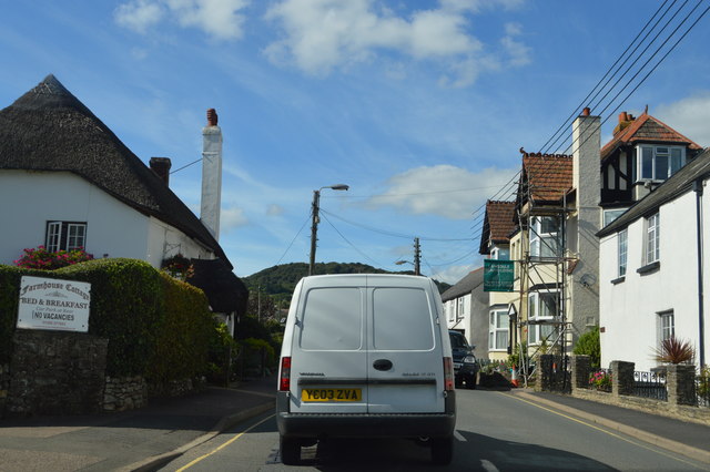
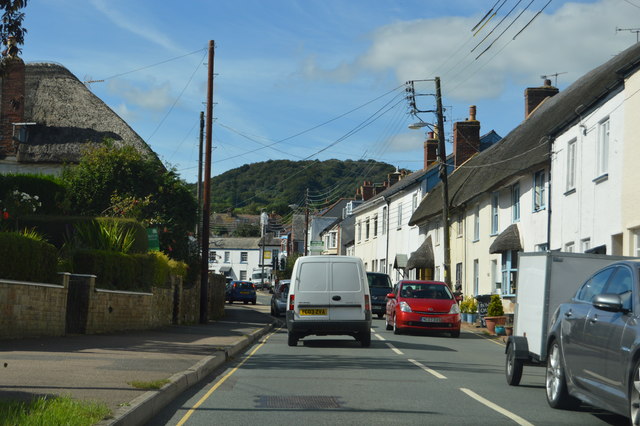
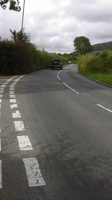
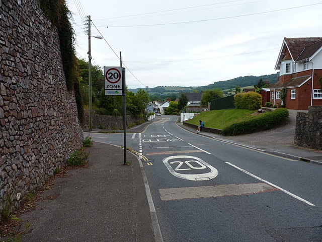
One of the notable features of Fortescue is its proximity to the stunning Devon coastline. Just a short drive away, residents and visitors can enjoy the sandy beaches, rugged cliffs, and breathtaking views that the area is renowned for. The village is also surrounded by rolling hills and lush green countryside, providing ample opportunities for outdoor activities such as hiking, cycling, and horseback riding.

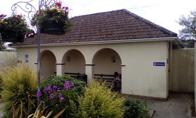
Though small, Fortescue boasts a few amenities to cater to the needs of its residents. These include a village hall, a local pub serving traditional pub fare, and a small convenience store for daily essentials. For more extensive amenities, the nearby towns of Bideford and Barnstaple offer a wider range of shops, restaurants, and services.

Overall, Fortescue offers a peaceful and picturesque setting for those seeking a quiet retreat in the stunning Devon countryside. Its close proximity to the coast and natural beauty makes it an attractive destination for nature enthusiasts and those looking to explore the wonders of the region.

If you have any feedback on the listing, please let us know in the comments section below.

Fortescue Images

Images are sourced within 2km of 50.694877/-3.2250392 or Grid Reference SY1389. Thanks to Geograph Open Source API. All images are credited.

Shops on School Street in Sidford
The Snodbrook at Sidford Running into the River Sid.
The brook crosses what is shortly to become an industrial estate.
The Snodbrook at Sidford
Running into the River Sid. The brook crosses what is shortly to become an industrial estate.
Sidford laundry Now derelict and closed down awaiting redevelopment.
this building was at one time used to dry sails from the local sailing club.
Sidford laundry
Now derelict and closed down awaiting redevelopment. this building was at one time used to dry sails from the local sailing club.
10 Months on Rather than as many locals suspected, the old laundry building appears to be taking on a new lease of life.
10 Months on
Rather than as many locals suspected, the old laundry building appears to be taking on a new lease of life.
The Rising Sun inn, Sidford The inn is at the crossroads in the centre of the village
The Rising Sun inn, Sidford
The inn is at the crossroads in the centre of the village
A3052, Sidford The A3052 Road runs 27 miles from Charnmouth to Clyst St Mary. It runs parallel to the East Devon coastline, but inland.
<span class="nowrap"><a title="http://www.sabre-roads.org.uk/wiki/index.php?title=A3052" rel="nofollow ugc noopener" href="http://www.sabre-roads.org.uk/wiki/index.php?title=A3052">Link</a><img style="margin-left:2px;" alt="External link" title="External link - shift click to open in new window" src="https://s1.geograph.org.uk/img/external.png" width="10" height="10"/></span>
A3052, Sidford
The A3052 Road runs 27 miles from Charnmouth to Clyst St Mary. It runs parallel to the East Devon coastline, but inland. LinkExternal link
Church St, Sidford The A3052 Road runs 27 miles from Charnmouth to Clyst St Mary. It runs parallel to the East Devon coastline, but inland.
<span class="nowrap"><a title="http://www.sabre-roads.org.uk/wiki/index.php?title=A3052" rel="nofollow ugc noopener" href="http://www.sabre-roads.org.uk/wiki/index.php?title=A3052">Link</a><img style="margin-left:2px;" alt="External link" title="External link - shift click to open in new window" src="https://s1.geograph.org.uk/img/external.png" width="10" height="10"/></span>
Church St, Sidford
The A3052 Road runs 27 miles from Charnmouth to Clyst St Mary. It runs parallel to the East Devon coastline, but inland. LinkExternal link
Sidford The A3052 Road runs 27 miles from Charnmouth to Clyst St Mary. It runs parallel to the East Devon coastline, but inland.
<span class="nowrap"><a title="http://www.sabre-roads.org.uk/wiki/index.php?title=A3052" rel="nofollow ugc noopener" href="http://www.sabre-roads.org.uk/wiki/index.php?title=A3052">Link</a><img style="margin-left:2px;" alt="External link" title="External link - shift click to open in new window" src="https://s1.geograph.org.uk/img/external.png" width="10" height="10"/></span>
Sidford
The A3052 Road runs 27 miles from Charnmouth to Clyst St Mary. It runs parallel to the East Devon coastline, but inland. LinkExternal link
Two Bridges Road to Sidbury Just north of Sidford, the main road heads up to Sidbury, whilst the minor road to the left goes up into the hills around <a href="https://www.geograph.org.uk/photo/204991">SY1291 : Sidbury Castle</a> and then in the general direction of Wiggaton.
Two Bridges Road to Sidbury
Just north of Sidford, the main road heads up to Sidbury, whilst the minor road to the left goes up into the hills around SY1291 : Sidbury Castle and then in the general direction of Wiggaton.
Sidford milestone Buried deep in the hedge immediately south of the junction, this milestone needed a little excavation before being photographable. It does not appear to be recorded by the Milestone Society, and due to its position in the hedgebank, the lettering is hard to make out for sure, but my best guess is "VII (ie 7th) mile from Honiton to Sidmouth". There is a later OS benchmark at the bottom of the inscription.
Sidford milestone
Buried deep in the hedge immediately south of the junction, this milestone needed a little excavation before being photographable. It does not appear to be recorded by the Milestone Society, and due to its position in the hedgebank, the lettering is hard to make out for sure, but my best guess is "VII (ie 7th) mile from Honiton to Sidmouth". There is a later OS benchmark at the bottom of the inscription.
OS benchmark - Sidford, Two Bridges milestone An OS cutmark on the well-hidden milestone beside the A375 just north of Sidford. It was levelled in 1967 at 46.643m above Ordnance Datum Newlyn.
OS benchmark - Sidford, Two Bridges milestone
An OS cutmark on the well-hidden milestone beside the A375 just north of Sidford. It was levelled in 1967 at 46.643m above Ordnance Datum Newlyn.
OS benchmark - Sidford, Kelso An OS cutmark on the wall of house called 'Kelso' on Fry's Lane; originally levelled, probably in 1967, at 52.1m above Ordnance Datum Newlyn.
OS benchmark - Sidford, Kelso
An OS cutmark on the wall of house called 'Kelso' on Fry's Lane; originally levelled, probably in 1967, at 52.1m above Ordnance Datum Newlyn.
House (former business?) in Sidford The recess above the front door and the style of the windows suggest that this was a shop or business
House (former business?) in Sidford
The recess above the front door and the style of the windows suggest that this was a shop or business
Public toilets with sheltered benches, Sidford
Sidford's High Street The main road coming into Sidford from the west, at the junction with Fry's Lane.
Sidford's High Street
The main road coming into Sidford from the west, at the junction with Fry's Lane.
OS Flush Bracket - Sidford Flush Bracket 2087 in the wall of 'Cornerways', and originally installed during the Second Geodetic Levelling surveys, in early 1917, when it was levelled at 139ft 4in above Ordnance Datum Newlyn.
OS Flush Bracket - Sidford
Flush Bracket 2087 in the wall of 'Cornerways', and originally installed during the Second Geodetic Levelling surveys, in early 1917, when it was levelled at 139ft 4in above Ordnance Datum Newlyn.
Listed cottages on Church Street in Sidford These two are one half of the group collectively listed at <span class="nowrap"><a title="https://www.britishlistedbuildings.co.uk/101097989-hillside-viewrosemary-cottagest-anthonysthe-cottage-sidmouth#.WXsjXoQrKM9," rel="nofollow ugc noopener" href="https://www.britishlistedbuildings.co.uk/101097989-hillside-viewrosemary-cottagest-anthonysthe-cottage-sidmouth#.WXsjXoQrKM9,">Link</a><img style="margin-left:2px;" alt="External link" title="External link - shift click to open in new window" src="https://s1.geograph.org.uk/img/external.png" width="10" height="10"/></span> which are described as "A row of 4 18th C or early 19th C cottages" The others lie to their right, and are seen in <a href="https://www.geograph.org.uk/photo/5478278">SY1390 : Listed cottages on Church Street in Sidford</a>
Listed cottages on Church Street in Sidford
These two are one half of the group collectively listed at LinkExternal link which are described as "A row of 4 18th C or early 19th C cottages" The others lie to their right, and are seen in SY1390 : Listed cottages on Church Street in Sidford
Listed cottages on Church Street in Sidford These two properties form the other half of the pair seen in <a href="https://www.geograph.org.uk/photo/5478275">SY1390 : Listed cottages on Church Street in Sidford</a>, and collectively given a Grade II listing <span class="nowrap"><a title="https://www.britishlistedbuildings.co.uk/101097989-hillside-viewrosemary-cottagest-anthonysthe-cottage-sidmouth#.WXslqYQrKM8" rel="nofollow ugc noopener" href="https://www.britishlistedbuildings.co.uk/101097989-hillside-viewrosemary-cottagest-anthonysthe-cottage-sidmouth#.WXslqYQrKM8">Link</a><img style="margin-left:2px;" alt="External link" title="External link - shift click to open in new window" src="https://s1.geograph.org.uk/img/external.png" width="10" height="10"/></span> in 1973.
Listed cottages on Church Street in Sidford
These two properties form the other half of the pair seen in SY1390 : Listed cottages on Church Street in Sidford, and collectively given a Grade II listing LinkExternal link in 1973.
Show me another place!

Fortescue is located at Grid Ref: SY1389 (Lat: 50.694877, Lng: -3.2250392)

Administrative County: Devon

District: East Devon

Police Authority: Devon and Cornwall

What 3 Words

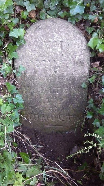
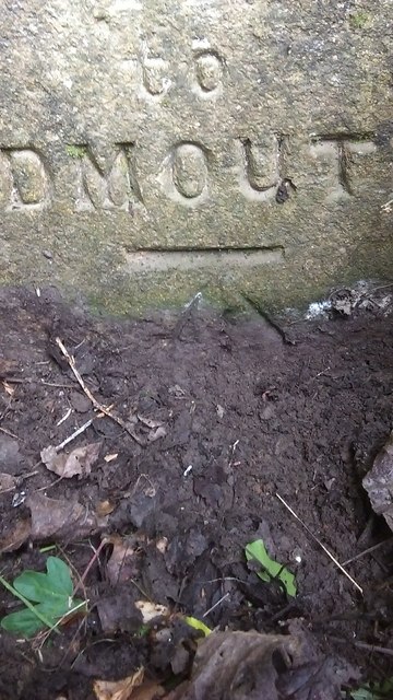
///oddly.share.track. Near Sidmouth, Devon

Nearby Locations

Fortescue

Related Wikis

Sidmouth College

Sidmouth College is a coeducational secondary school and sixth form, located in Sidmouth in the English county of Devon. The school attracts pupils from...

Norman Lockyer Observatory

The Norman Lockyer Observatory, the Lockyer Technology Centre, and the Planetarium (jointly NLO), is a public access optical observatory 1 mile (1.6 km...

Sidmouth Town A.F.C.

Sidmouth Town Association Football Club is a football club based in Sidmouth, Devon, England. They are currently members of the South West Peninsula League...

Sidford

Sidford is a small village in the civil parish of and on the outskirts of the town of Sidmouth in the English county of Devon. It has a population of just...

Salcombe Regis

Salcombe Regis is a coastal village and former civil parish, now in the parish of Sidmouth, in the East Devon district, in the county of Devon, England...

River Sid

The River Sid, situated in East Devon, is often claimed to be the shortest complete river in England. It flows for 6.5 miles (10.5 km) southwards from...

Sidmouth railway station

Sidmouth railway station was a fully operational station located in Sidmouth, Devon, England until its closure in 1967. The station is now a privately...

Bulverton

Bulverton is a small hamlet on the outskirts of Sidmouth, Devon, England. In the UK == Area Information == Bulverton comprises low-density residential...

Related Videos

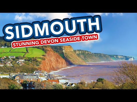
SIDMOUTH | Exploring the seaside holiday town of Sidmouth Devon

Sidmouth is a charming holiday seaside town located in Devon, in the South West of England. It is a popular holiday destination, ...

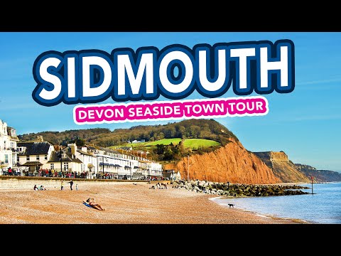
SIDMOUTH DEVON | Holiday Seaside Town Tour

SIDMOUTH DEVON | Holiday Seaside Town Walking Tour. We visit Sidmouth for a walk along the beach and seafront and a look ...

Virtual Beach Walk At Sidmouth - Walking By The Sea - Scenery For Treadmill

A relaxing 20 minute walk along the beach, mostly on sand, in Devon, England in early spring, with peaceful sounds of ocean ...

Virtual Walk On The Beach & Around Sidmouth - Walking By The Sea For Treadmill Workout Scenery (UK)

Walking for an hour at a busy English seaside town in Devon on a hot and sunny late summer's day with blue skies and a calm ...

Nearby Amenities

Located within 500m of 50.694877,-3.2250392
Residential Home
Homesley
Lat/Long: 50.6982599/-3.2223995
Public Bookcase
Defibrillator
Booth: K6
Colour: red
Defibrillator Location: inside old red phone box at the end of Higher Fortescue, Sidford
Disused Amenity: telephone
Emergency: defibrillator
Man Made: telephone_box
Public Bookcase Type: phone_box
Lat/Long: 50.6948125/-3.2250273
Post Box
Post Box Type: lamp
Royal Cypher: EIIR
Royal Cypher Wikidata: Q33102113
Lat/Long: 50.6948227/-3.2250756
Bus Stop
Fortescue Phone Box
Bus: yes
Public Transport: platform
Lat/Long: 50.6947618/-3.2251236
Direction: 100
Generator Method: photovoltaic
Generator Output Electricity: yes
Generator Solar Modules: 5
Generator Source: solar
Generator Type: solar_photovoltaic_panel
Location: roof
Power: generator
Lat/Long: 50.6952683/-3.2318459
Direction: 190
Generator Method: photovoltaic
Generator Output Electricity: yes
Generator Solar Modules: 12
Generator Source: solar
Generator Type: solar_photovoltaic_panel
Location: roof
Power: generator
Lat/Long: 50.6955308/-3.2316475
Direction: 190
Generator Method: photovoltaic
Generator Output Electricity: yes
Generator Solar Modules: 6
Generator Source: solar
Generator Type: solar_photovoltaic_panel
Location: roof
Power: generator
Lat/Long: 50.6951536/-3.2314651
Direction: 100
Generator Method: photovoltaic
Generator Output Electricity: yes
Generator Solar Modules: 6
Generator Source: solar
Generator Type: solar_photovoltaic_panel
Location: roof
Power: generator
Lat/Long: 50.6947484/-3.231508
Direction: 190
Generator Method: photovoltaic
Generator Output Electricity: yes
Generator Solar Modules: 8
Generator Source: solar
Generator Type: solar_photovoltaic_panel
Location: roof
Power: generator
Lat/Long: 50.6947323/-3.2315791
Direction: 190
Generator Method: photovoltaic
Generator Output Electricity: yes
Generator Solar Modules: 11
Generator Source: solar
Generator Type: solar_photovoltaic_panel
Location: roof
Power: generator
Lat/Long: 50.6952072/-3.2317212
Direction: 280
Generator Method: photovoltaic
Generator Output Electricity: yes
Generator Solar Modules: 11
Generator Source: solar
Generator Type: solar_photovoltaic_panel
Location: roof
Power: generator
Lat/Long: 50.6952683/-3.2319734
Direction: 190
Generator Method: photovoltaic
Generator Output Electricity: yes
Generator Solar Modules: 14
Generator Source: solar
Generator Type: solar_photovoltaic_panel
Location: roof
Power: generator
Lat/Long: 50.6945556/-3.2311392
Direction: SSW
Generator Method: photovoltaic
Generator Output Electricity: yes
Generator Solar Modules: 14
Generator Source: solar
Generator Type: solar_photovoltaic_panel
Location: roof
Power: generator
Lat/Long: 50.6979501/-3.2299488
Direction: SSW
Generator Method: photovoltaic
Generator Output Electricity: yes
Generator Solar Modules: 20
Generator Source: solar
Generator Type: solar_photovoltaic_panel
Location: roof
Power: generator
Lat/Long: 50.6918549/-3.2282209
Direction: SSW
Generator Method: photovoltaic
Generator Output Electricity: yes
Generator Solar Modules: 3
Generator Source: solar
Generator Type: solar_photovoltaic_panel
Location: roof
Power: generator
Lat/Long: 50.6922898/-3.228516
Direction: SSW
Generator Method: photovoltaic
Generator Output Electricity: yes
Generator Solar Modules: 12
Generator Source: solar
Generator Type: solar_photovoltaic_panel
Location: roof
Power: generator
Lat/Long: 50.6922635/-3.2283765
Direction: SSW
Generator Method: photovoltaic
Generator Output Electricity: yes
Generator Solar Modules: 14
Generator Source: solar
Generator Type: solar_photovoltaic_panel
Location: roof
Power: generator
Lat/Long: 50.6944468/-3.2267565
Direction: 305
Generator Method: photovoltaic
Generator Output Electricity: yes
Generator Solar Modules: 3
Generator Source: solar
Generator Type: solar_photovoltaic_panel
Location: roof
Power: generator
Lat/Long: 50.6952123/-3.2250372
Direction: 125
Generator Method: photovoltaic
Generator Output Electricity: yes
Generator Solar Modules: 6
Generator Source: solar
Generator Type: solar_photovoltaic_panel
Location: roof
Power: generator
Lat/Long: 50.6951791/-3.2250211
Direction: SSW
Fixme: possible solar hot water
Generator Method: photovoltaic
Generator Output Electricity: yes
Generator Solar Modules: 2
Generator Source: solar
Generator Type: solar_photovoltaic_panel
Location: roof
Power: generator
Lat/Long: 50.6960805/-3.2245906
Direction: 195
Generator Method: photovoltaic
Generator Output Electricity: yes
Generator Solar Modules: 15
Generator Source: solar
Generator Type: solar_photovoltaic_panel
Location: roof
Power: generator
Lat/Long: 50.6964058/-3.2254207
Direction: 195
Fixme: possibly solar hot water
Generator Method: photovoltaic
Generator Output Electricity: yes
Generator Source: solar
Generator Type: solar_photovoltaic_panel
Location: roof
Power: generator
Lat/Long: 50.6964118/-3.2249956
Advertising: board
Lat/Long: 50.6947879/-3.224968
Power: pole
Source: bing
Transformer: distribution
Lat/Long: 50.6980691/-3.2229866
Power: pole
Source: bing
Lat/Long: 50.6974481/-3.2230939
Power: pole
Source: bing
Lat/Long: 50.6966148/-3.2232468
Power: pole
Source: bing
Lat/Long: 50.6948045/-3.2181707
Power: pole
Source: bing
Lat/Long: 50.6964118/-3.2220277
Power: pole
Source: bing
Lat/Long: 50.6964203/-3.2202333
Power: pole
Source: bing
Lat/Long: 50.6927393/-3.2192463
Power: pole
Source: bing
Lat/Long: 50.6936372/-3.218789
Power: pole
Source: bing
Lat/Long: 50.6944383/-3.2183518
Power: pole
Source: bing
Lat/Long: 50.6947739/-3.2189526
The data included in this document is from www.openstreetmap.org. The data is made available under ODbL.

Have you been to Fortescue?

Leave your review of Fortescue below (or comments, questions and feedback).