Eastfield

Settlement in Northamptonshire

England

Eastfield

Ashmead Housing Estate Ashmead appears to be very new and is not yet shown on the latest OS map.
Ashmead Housing Estate Credit: Kokai

Eastfield is a village located in the county of Northamptonshire, England. Situated about 2 miles east of Wellingborough, it falls within the borough of Wellingborough. The village has a population of around 1,500 residents and is primarily residential in nature.

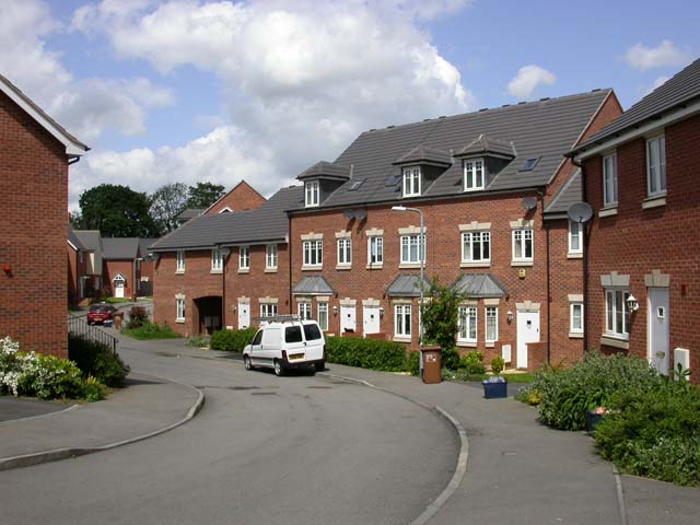
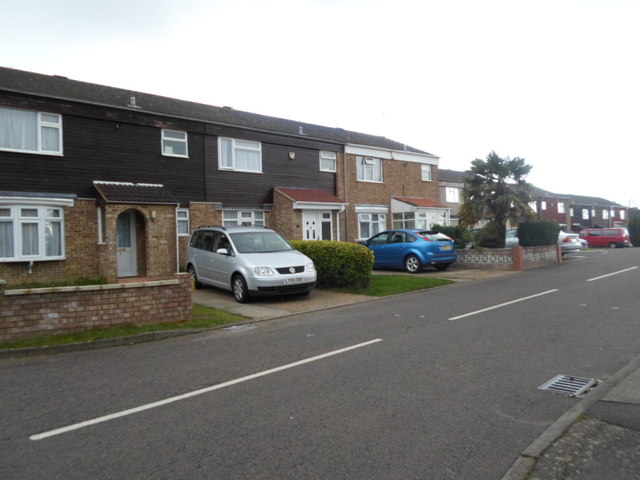
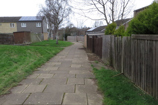
Eastfield boasts a variety of housing options, ranging from detached houses to terraced properties, catering to the needs of different individuals and families. The village is known for its peaceful and friendly atmosphere, making it an attractive place to live for those looking for a quieter lifestyle.

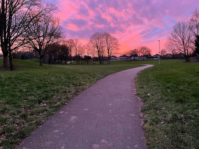
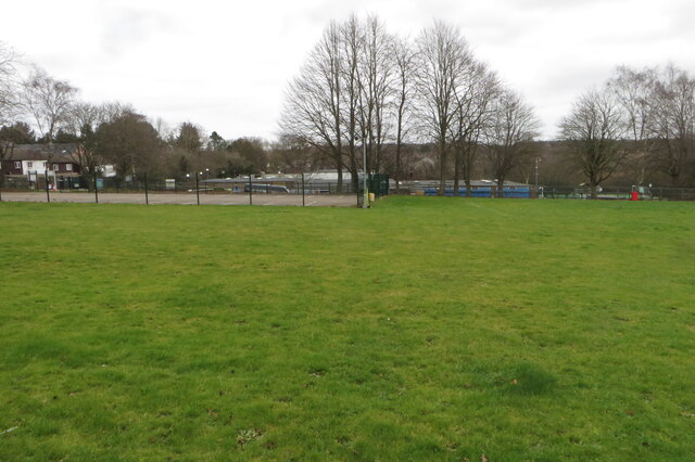
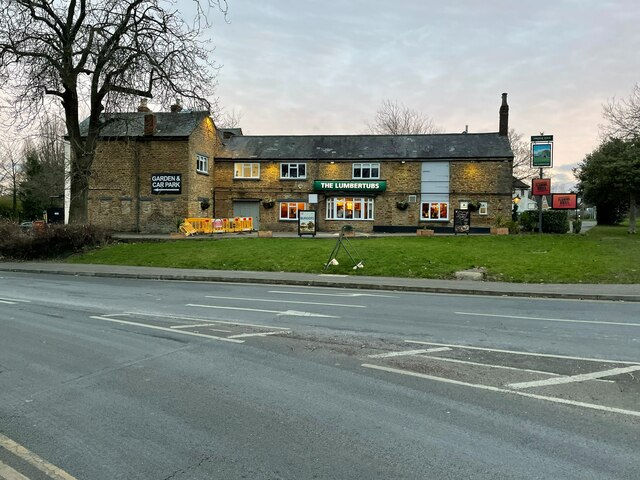
In terms of amenities, Eastfield has a local convenience store that provides essential groceries and household items. Additionally, there are several recreational facilities available, including a community center and a children's playground, offering opportunities for social gatherings and outdoor activities.

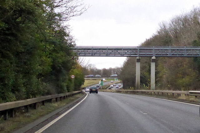
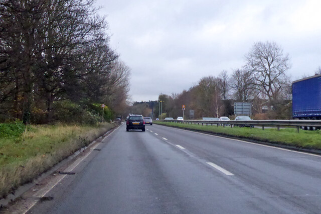
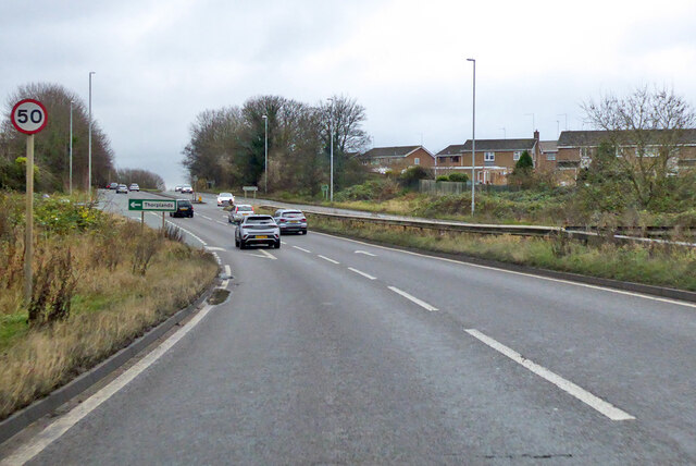
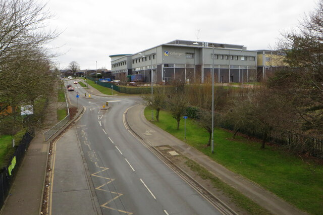
The village benefits from good transportation links, with regular bus services connecting Eastfield to nearby towns and villages. The A509 road passes through the village, providing easy access to major cities like Northampton and Milton Keynes.

Eastfield is served by a primary school within the village itself, ensuring that families with young children have access to quality education. Furthermore, there are several secondary schools located in the nearby towns, offering a wide range of educational options for older students.

Overall, Eastfield offers a peaceful and convenient living environment, making it an appealing choice for individuals and families seeking a suburban lifestyle in Northamptonshire.

If you have any feedback on the listing, please let us know in the comments section below.
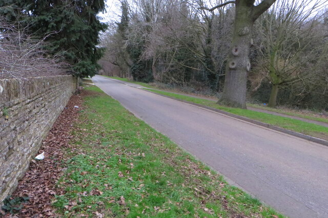
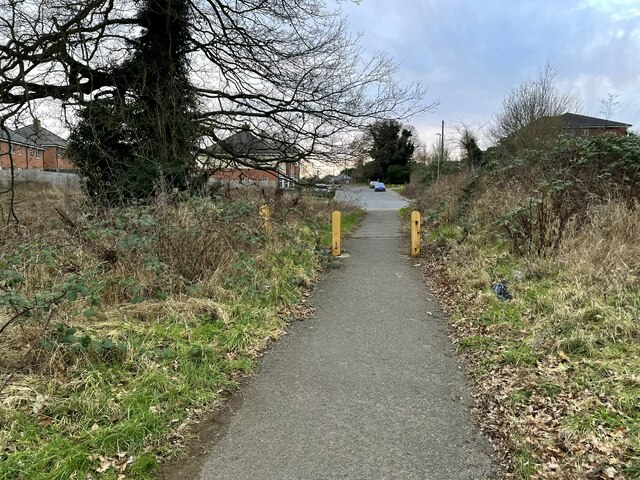
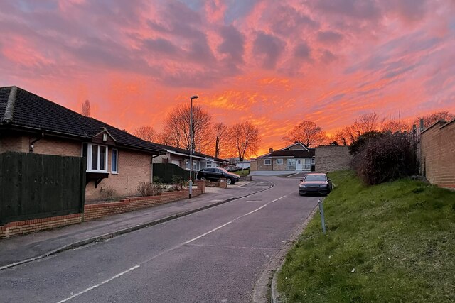
Eastfield Images

Images are sourced within 2km of 52.261379/-0.85643867 or Grid Reference SP7863. Thanks to Geograph Open Source API. All images are credited.

Ashmead Housing Estate Ashmead appears to be very new and is not yet shown on the latest OS map.
Ashmead Housing Estate
Ashmead appears to be very new and is not yet shown on the latest OS map.
East Paddock Court 1970s council houses in Lings.
East Paddock Court
1970s council houses in Lings.
Footbridge over A43 Lumbertubs Way A curious design, with the long spans not sharing a column and overall looking more like a pipe bridge. It leads from a residential area on the right to Weston Favell shopping centre on the left, entering it at the same high level.
Footbridge over A43 Lumbertubs Way
A curious design, with the long spans not sharing a column and overall looking more like a pipe bridge. It leads from a residential area on the right to Weston Favell shopping centre on the left, entering it at the same high level.
A43 Lumbertubs Way Heading south.
A43 Lumbertubs Way
Heading south.
A43 Lumbertubs Way Heading south.
A43 Lumbertubs Way
Heading south.
Billing Brook running through a housing estate
Path through Billing Arbours to Holmecross Road
Footpath under the roundabout to Boothville
Northampton College
Northampton College
Path through the park At sundown
Path through the park
At sundown
Thorplands Primary School playing fields
Flats on Burrows Court
Footpath through Thorplands estate
Heather Lane by Billing Arbours
Footpath to Boothville
The Lumbertubs pub
The Lumbertubs pub
Footpath on St Gregory's Road
Sundown in Carline Court
Show me another place!

Eastfield is located at Grid Ref: SP7863 (Lat: 52.261379, Lng: -0.85643867)

Unitary Authority: West Northamptonshire

Police Authority: Northamptonshire

What 3 Words

///fast.sting.jumps. Near Northampton, Northamptonshire

Nearby Locations

Eastfield

Related Wikis

Northampton College

Northampton College is a further education college in Northampton, England, which opened in 1973, following building work which started in 1970. The college...

Weston Favell Academy

Weston Favell Academy is a school in Northampton, England that caters for pupils aged 11 to 18. The academy was called Weston Favell Upper School prior...

Spinney Hill

Spinney Hill is an area of Northampton, England, to the north of the town, in the Parklands ward. It is bordered by a semi-wild park area called Bradlaugh...

Northampton North (UK Parliament constituency)

Northampton North is a constituency represented in the House of Commons of the UK Parliament since 2010 by Michael Ellis, a Conservative. The constituency...

Nearby Amenities

Located within 500m of 52.261379,-0.85643867
Traffic Calming: hump
Lat/Long: 52.260918/-0.8628686
Traffic Calming: cushion
Lat/Long: 52.260827/-0.8572456
Traffic Calming: cushion
Lat/Long: 52.2616516/-0.8537381
Crossing
Crossing: unmarked
Crossing Island: yes
Crossing Markings: no
Tactile Paving: yes
Lat/Long: 52.2619511/-0.8531451
Direction: forward
Traffic Calming: hump
Lat/Long: 52.2623808/-0.8526919
Mini Roundabout
Lat/Long: 52.2597171/-0.8606108
Traffic Calming: cushion
Lat/Long: 52.2610534/-0.8526507
Post Box
Brand: Royal Mail
Brand Wikidata: Q638098
Brand Wikipedia: en:Royal Mail
Operator: Royal Mail
Operator Wikidata: Q638098
Post Box Type: pillar
Ref: NN3 244
Royal Cypher: GVIR
Royal Cypher Wikidata: Q33102169
Lat/Long: 52.2593197/-0.852926
Fast Food
Eastfield Fish Bar
Addr City: Northampton
Addr Country: GB
Addr Housenumber: 70a
Addr Postcode: NN3 2RG
Addr Street: Longland Road
Fhrs Authority: Northampton
Fhrs Id: 172288
Fhrs Local Authority Id: PI/000022719
Source Addr: FHRS Open Data
Lat/Long: 52.2591604/-0.8598669
Traffic Calming: hump
Lat/Long: 52.2606425/-0.8621769
Traffic Calming: hump
Lat/Long: 52.2607397/-0.8604822
Post Box
Brand: Royal Mail
Brand Wikidata: Q638098
Brand Wikipedia: en:Royal Mail
Operator: Royal Mail
Operator Wikidata: Q638098
Ref: NN3 131
Royal Cypher: EIIR
Royal Cypher Wikidata: Q33102113
Lat/Long: 52.2632414/-0.8521204
Telephone
Booth: KX100
Covered: booth
Lat/Long: 52.2614965/-0.8563309
Turning Circle
Lat/Long: 52.2639668/-0.8524429
Crossing
Crossing: unmarked
Crossing Island: yes
Crossing Markings: no
Lat/Long: 52.2625123/-0.849563
Post Office
Bushland Road Post Office
Addr City: Northampton
Addr Country: GB
Addr Housenumber: 12/14
Addr Postcode: NN3 2NS
Addr Street: Bushland Road
Brand: Post Office
Brand Wikidata: Q1783168
Ref Pol Id: 3824
Source: OS OpenData StreetView
Website: https://www.postoffice.co.uk/branch-finder/1622269/bushland-road
Lat/Long: 52.2593168/-0.8531536
Crossing
Crossing: unmarked
Crossing Island: yes
Crossing Markings: no
Tactile Paving: yes
Lat/Long: 52.2596942/-0.8536128
Crossing
Crossing: marked
Crossing Island: no
Crossing Markings: yes
Traffic Calming: table
Lat/Long: 52.2638907/-0.8505605
Crossing
Crossing: unmarked
Crossing Island: yes
Crossing Markings: no
Tactile Paving: no
Lat/Long: 52.2623471/-0.8497597
Mini Roundabout
Lat/Long: 52.2624773/-0.8497642
Mini Roundabout
Lat/Long: 52.2637016/-0.8505015
Social Facility
Mencap Homes Foundation
Addr City: Northampton
Addr Country: GB
Addr Housenumber: 1-2
Addr Postcode: NN3 2RJ
Addr Street: St Alban's Close
Fhrs Authority: Northampton
Fhrs Id: 177845
Fhrs Local Authority Id: PI/000043919
Social Facility: assisted_living
Lat/Long: 52.2601038/-0.8621156
The Co-operative Food
Addr City: Northampton
Addr Country: GB
Addr Housenumber: 12/14
Addr Postcode: NN3 2NS
Addr Street: Bushland Road
Brand: The Co-operative Food
Brand Wikidata: Q107617274
Fhrs Authority: Northampton
Fhrs Id: 164770
Fhrs Local Authority Id: PI/000006870
Operator: The Co-operative Group
Operator Wikidata: Q117202
Shop: supermarket
Website: https://www.coop.co.uk/store-finder/NN3-2NS/14-bushland-road
Lat/Long: 52.2593585/-0.8531946
Fast Food
Bushland Chippy
Addr City: Northampton
Addr Country: GB
Addr Housenumber: 16
Addr Postcode: NN3 2NS
Addr Street: Bushland Road
Fhrs Authority: West Northamptonshire
Fhrs Id: 1424268
Fhrs Local Authority Id: PI/000096293
Lat/Long: 52.2592747/-0.8530685
Todays General Store
Addr City: Northampton
Addr Country: GB
Addr Housenumber: 276a
Addr Postcode: NN3 3RP
Addr Street: Broadmead Avenue
Fhrs Authority: Northampton
Fhrs Id: 164271
Fhrs Local Authority Id: PI/000006032
Shop: convenience
Lat/Long: 52.2603353/-0.8581379
Breakfast Club
Addr City: Northampton
Addr Country: GB
Addr Housename: St Gregorys Catholic Primary School
Addr Postcode: NN3 2AX
Addr Street: Grange Road
Fhrs Authority: Northampton
Fhrs Id: 1023605
Fhrs Local Authority Id: PI/000088161
Lat/Long: 52.2624252/-0.8518481
Crossing
Crossing: unmarked
Crossing Island: yes
Crossing Markings: no
Tactile Paving: yes
Lat/Long: 52.2581223/-0.855712
Traffic Calming: hump
Lat/Long: 52.260364/-0.8603342
Traffic Calming: hump
Lat/Long: 52.260031/-0.8600875
Traffic Calming: hump
Lat/Long: 52.2612115/-0.8605368
Traffic Calming: hump
Lat/Long: 52.260795/-0.8612581
Crossing
Crossing: marked
Crossing Markings: yes
Lat/Long: 52.2593749/-0.8617102
Traffic Calming: hump
Lat/Long: 52.2594008/-0.862025
Traffic Calming: cushion
Lat/Long: 52.2591815/-0.8623271
Traffic Calming: cushion
Lat/Long: 52.2602769/-0.8522196
Traffic Calming: cushion
Lat/Long: 52.2616595/-0.8532294
Bus Stop
Bus: yes
Naptan AtcoCode: 300000159G
Naptan NaptanCode: nthajtdm
Public Transport: platform
Shelter: no
Lat/Long: 52.2615706/-0.8541593
Bus Stop
Bus: yes
Naptan AtcoCode: 300000955T
Naptan NaptanCode: nthdmwat
Public Transport: platform
Shelter: yes
Lat/Long: 52.2614142/-0.854529
Traffic Calming: cushion
Lat/Long: 52.2613997/-0.855072
Bus Stop
Bus: yes
Naptan AtcoCode: 300000159GR
Naptan NaptanCode: nthajtdp
Public Transport: platform
Shelter: no
Lat/Long: 52.2614508/-0.8559057
Traffic Calming: cushion
Lat/Long: 52.261384/-0.8562361
Traffic Calming: cushion
Lat/Long: 52.2601597/-0.8591933
Bus Stop
Bus: yes
Naptan AtcoCode: 300000159NG
Naptan NaptanCode: nthajtga
Public Transport: platform
Shelter: yes
Lat/Long: 52.2606687/-0.8574528
Traffic Calming: cushion
Lat/Long: 52.2598486/-0.8601935
Traffic Calming: hump
Lat/Long: 52.2597585/-0.8623184
Direction: backward
Traffic Calming: hump
Lat/Long: 52.2624539/-0.8526372
Crossing
Crossing: marked
Crossing Island: no
Crossing Markings: yes
Traffic Calming: table
Lat/Long: 52.2626963/-0.8519745
Crossing
Crossing: unmarked
Crossing Island: no
Crossing Markings: no
Lat/Long: 52.2634877/-0.8516229
Traffic Calming: cushion
Lat/Long: 52.2635156/-0.8514009
Bus Stop
Bus: yes
Naptan AtcoCode: 300000159LR
Naptan NaptanCode: nthajtdt
Public Transport: platform
Shelter: yes
Lat/Long: 52.259551/-0.8610009
Bus Stop
Bus: yes
Public Transport: platform
Shelter: no
Lat/Long: 52.2596074/-0.8611368
Traffic Calming: island
Lat/Long: 52.2597571/-0.8604839
Bus Stop
Bus: yes
Public Transport: platform
Shelter: yes
Lat/Long: 52.263315/-0.8503474
Bus Stop
Bus: yes
Public Transport: platform
Shelter: yes
Lat/Long: 52.2629965/-0.8500077
Crossing
Crossing: unmarked
Crossing Island: yes
Crossing Markings: no
Tactile Paving: no
Lat/Long: 52.2625857/-0.8498802
Bus Stop
Bus: yes
Naptan AtcoCode: 300000159BL
Naptan NaptanCode: nthajtda
Public Transport: platform
Shelter: no
Lat/Long: 52.2610998/-0.8491558
Bus Stop
Bus: yes
Naptan AtcoCode: 300000159ND
Naptan NaptanCode: nthajtdw
Public Transport: platform
Shelter: no
Lat/Long: 52.2600691/-0.8517171
Bus Stop
Bus: yes
Naptan AtcoCode: 300000159TA
Naptan NaptanCode: nthajtgp
Public Transport: platform
Shelter: no
Lat/Long: 52.2602485/-0.8513222
Bus Stop
Bus: yes
Naptan AtcoCode: 300000159O
Naptan NaptanCode: nthajtgd
Public Transport: platform
Shelter: yes
Lat/Long: 52.2598479/-0.853265
Bus Stop
Bus: yes
Naptan AtcoCode: 300000053HI
Naptan NaptanCode: nthadjtj
Public Transport: platform
Shelter: no
Lat/Long: 52.2584509/-0.8555382
Bus Stop
Bus: yes
Naptan AtcoCode: 300000053HL
Naptan NaptanCode: nthadjtm
Public Transport: platform
Shelter: no
Lat/Long: 52.2581392/-0.8556227
Barrier: cycle_barrier
Lat/Long: 52.257903/-0.8546098
Barrier: cycle_barrier
Lat/Long: 52.258146/-0.8555657
Crossing
Crossing: unmarked
Crossing Island: no
Crossing Markings: no
Lat/Long: 52.2583528/-0.851954
Crossing
Crossing: unmarked
Crossing Island: no
Crossing Markings: no
Lat/Long: 52.2590929/-0.8527255
Crossing
Crossing: unmarked
Crossing Island: no
Crossing Markings: no
Lat/Long: 52.2614833/-0.8541075
Crossing
Crossing: unmarked
Crossing Island: no
Crossing Markings: no
Lat/Long: 52.2613818/-0.8547706
Crossing
Crossing: unmarked
Crossing Island: no
Crossing Markings: no
Lat/Long: 52.2616341/-0.8539579
Crossing
Crossing: unmarked
Crossing Island: no
Crossing Markings: no
Lat/Long: 52.2617589/-0.8533678
Crossing
Crossing: unmarked
Crossing Island: no
Crossing Markings: no
Lat/Long: 52.2621663/-0.8527026
Crossing
Crossing: unmarked
Crossing Island: no
Crossing Markings: no
Lat/Long: 52.2626772/-0.8525515
Crossing
Crossing: unmarked
Crossing Island: no
Crossing Markings: no
Lat/Long: 52.26279/-0.8522894
Crossing
Crossing: unmarked
Crossing Island: yes
Crossing Markings: no
Tactile Paving: yes
Lat/Long: 52.262958/-0.8522441
Crossing
Crossing: unmarked
Crossing Island: no
Crossing Markings: no
Lat/Long: 52.2632759/-0.8520535
Crossing
Crossing: marked
Crossing Island: no
Crossing Markings: yes
Lat/Long: 52.2626056/-0.8516288
Man Made: tower
Tower Construction: mast
Tower Type: communication
Lat/Long: 52.2622911/-0.8496366
Man Made: tower
Tower Construction: mast
Tower Type: communication
Lat/Long: 52.2616837/-0.8492901
The data included in this document is from www.openstreetmap.org. The data is made available under ODbL.

Have you been to Eastfield?

Leave your review of Eastfield below (or comments, questions and feedback).