Earlham Rise
Settlement in Norfolk Norwich
England
Earlham Rise
Earlham Rise is a residential area located in the city of Norwich, in the county of Norfolk, England. Situated on the western outskirts of the city, Earlham Rise is a sought-after neighborhood known for its picturesque surroundings and convenient amenities.
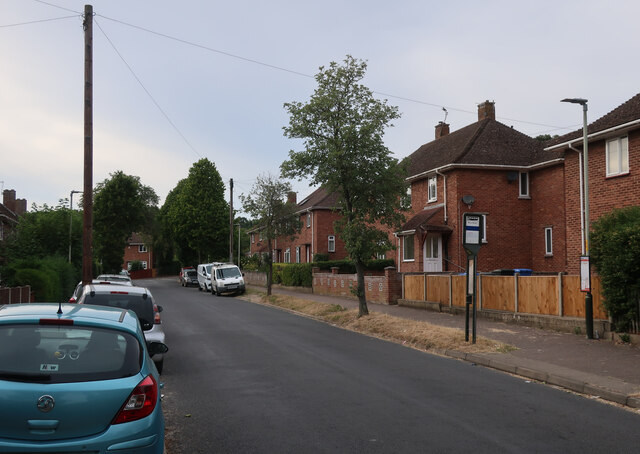
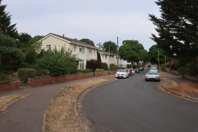
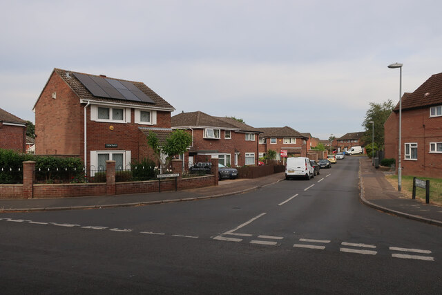
The area is characterized by its charming suburban atmosphere, with well-maintained streets and a mix of modern houses and older properties. Many of the houses in Earlham Rise offer stunning views of the surrounding countryside, creating a peaceful and tranquil environment for residents.
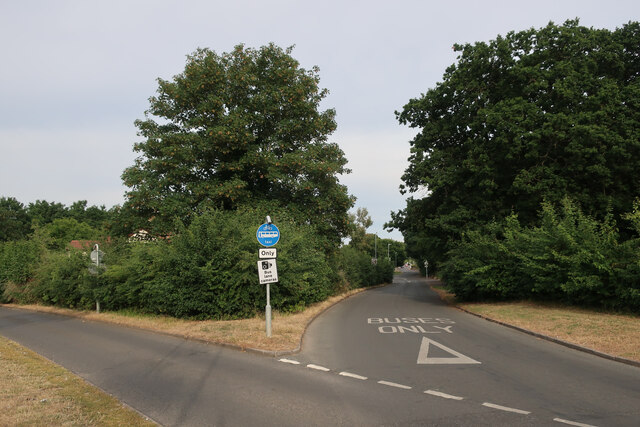
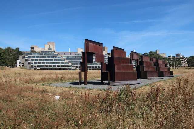
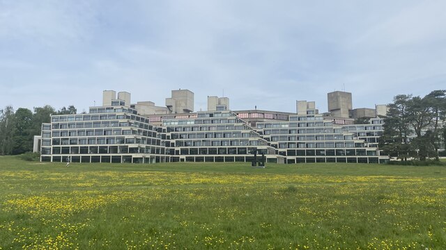
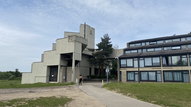
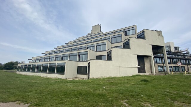
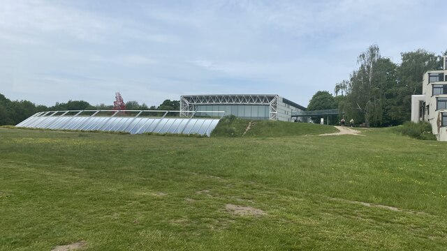
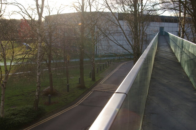
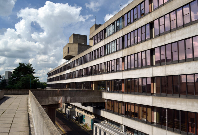
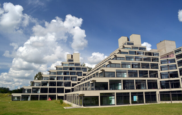
Earlham Rise benefits from its close proximity to the renowned Earlham Park, a large green space that offers residents ample opportunities for outdoor activities such as walking, jogging, and picnicking. The park is also home to the University of East Anglia, one of the leading educational institutions in the region.
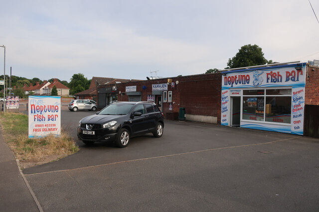
Residents of Earlham Rise enjoy easy access to a range of amenities, including local shops, supermarkets, and restaurants. The area is well-served by public transportation, with regular bus services connecting Earlham Rise to Norwich city center and other nearby neighborhoods.
Families are attracted to Earlham Rise due to its excellent educational facilities, including several primary and secondary schools within close proximity. The area also boasts a strong sense of community, with various local events and activities organized throughout the year.
Overall, Earlham Rise offers a desirable residential location for individuals and families seeking a peaceful and well-connected neighborhood with beautiful surroundings and a range of amenities.
If you have any feedback on the listing, please let us know in the comments section below.
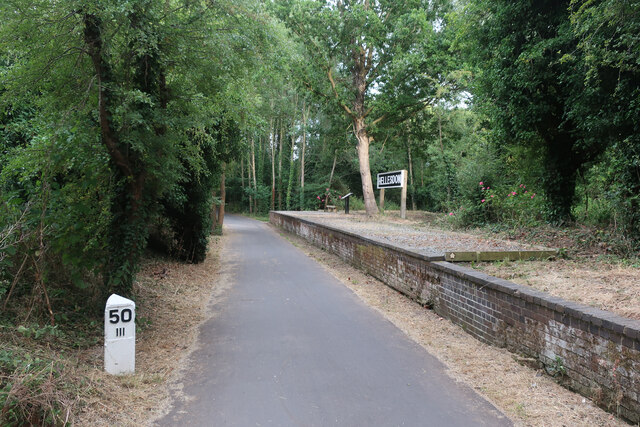
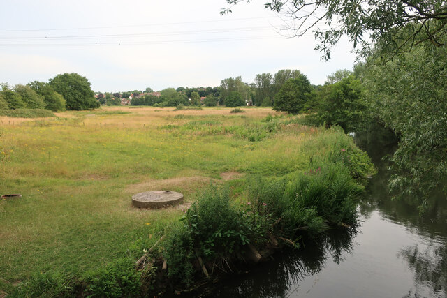
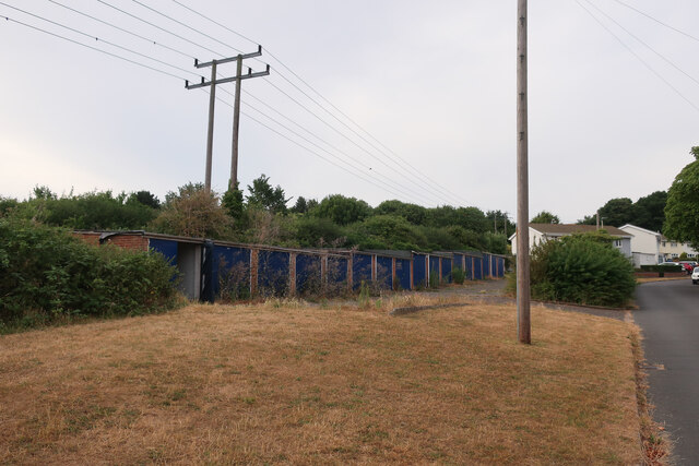
Earlham Rise Images
Images are sourced within 2km of 52.631257/1.2527942 or Grid Reference TG2008. Thanks to Geograph Open Source API. All images are credited.
Earlham Rise is located at Grid Ref: TG2008 (Lat: 52.631257, Lng: 1.2527942)
Administrative County: Norfolk
District: Norwich
Police Authority: Norfolk
What 3 Words
///angel.swift.thus. Near Bowthorpe, Norfolk
Nearby Locations
Related Wikis

Norwich Community Hospital
Norwich Community Hospital is a healthcare facility in Bowthorpe Road, Norwich, Norfolk, England. It is managed by Norfolk Community Health and Care NHS...
City Academy Norwich
City Academy Norwich is a secondary school in Norwich, England. It opened in September 2009, replacing Earlham High School. It is located near the University...

The Gatehouse, Norwich
The Gatehouse is a Grade II listed public house in Norwich, England. It was built in 1934 for the Norwich-based Morgans Brewery, and replaced a 19th-century...
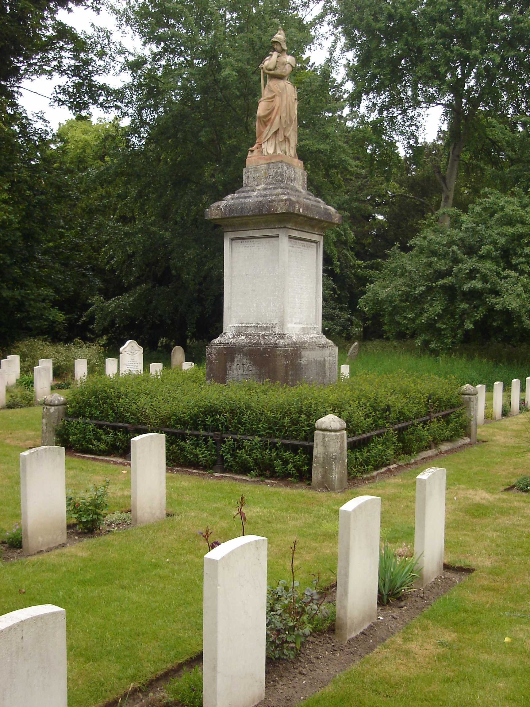
Earlham Road Cemetery, Norwich
Earlham Road Cemetery, Norwich also known as Earlham Cemetery or Norwich Cemetery is a cemetery located in Norwich which was officially opened on 6 March...
Nearby Amenities
Located within 500m of 52.631257,1.2527942Have you been to Earlham Rise?
Leave your review of Earlham Rise below (or comments, questions and feedback).