Drumligair
Settlement in Aberdeenshire
Scotland
Drumligair
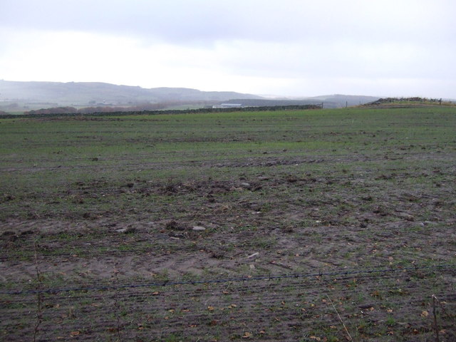
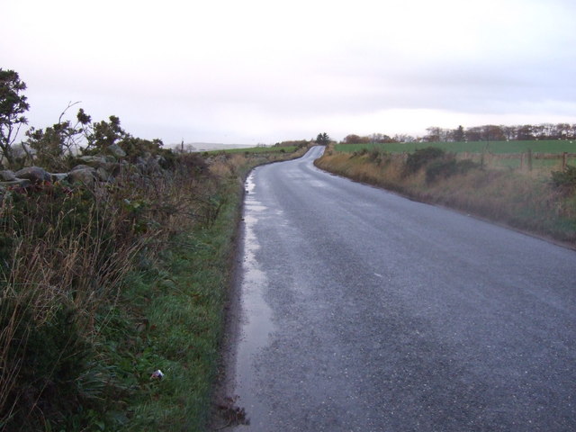
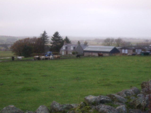
Drumligair is a small, picturesque village located in Aberdeenshire, Scotland. Situated amidst rolling hills and lush green countryside, it offers a peaceful and idyllic setting for residents and visitors alike. The village is positioned approximately 8 miles southwest of the city of Aberdeen, making it easily accessible for those seeking a rural retreat without being too far from urban amenities.
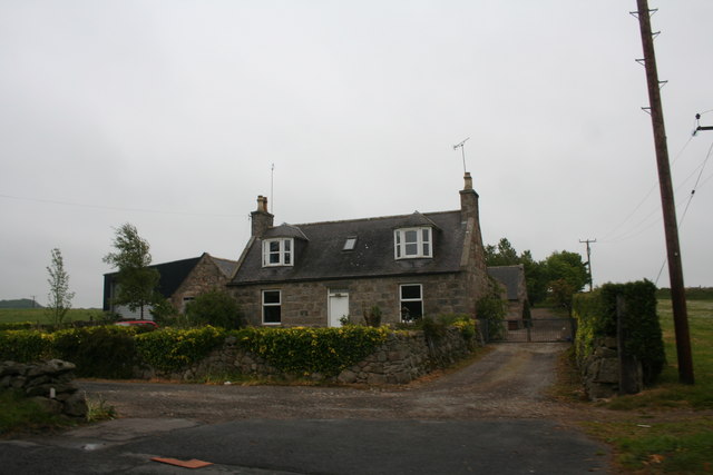
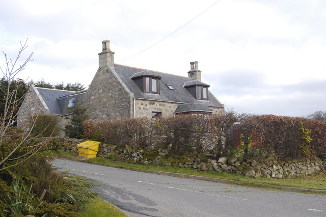
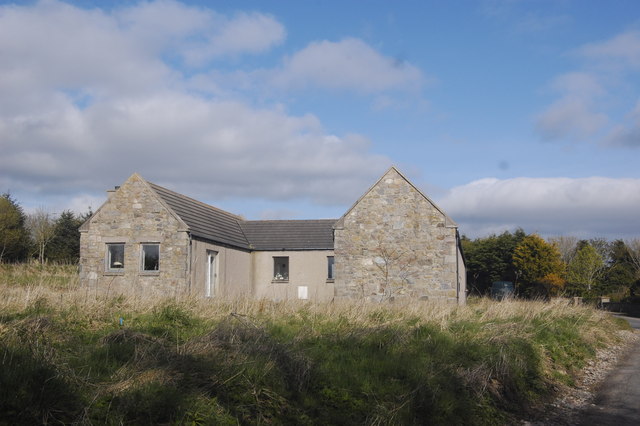
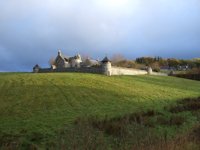
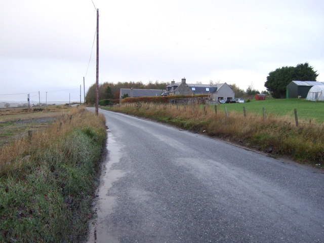
One of the standout features of Drumligair is its charming architecture. Traditional stone cottages line the streets, showcasing the village's rich history and heritage. The well-preserved buildings provide a glimpse into the past, creating a sense of nostalgia and authenticity.
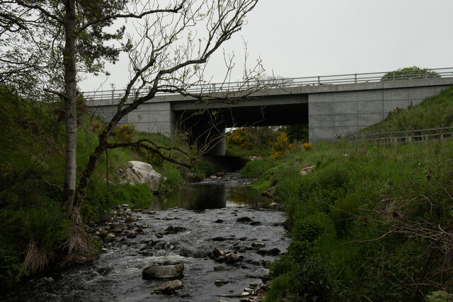
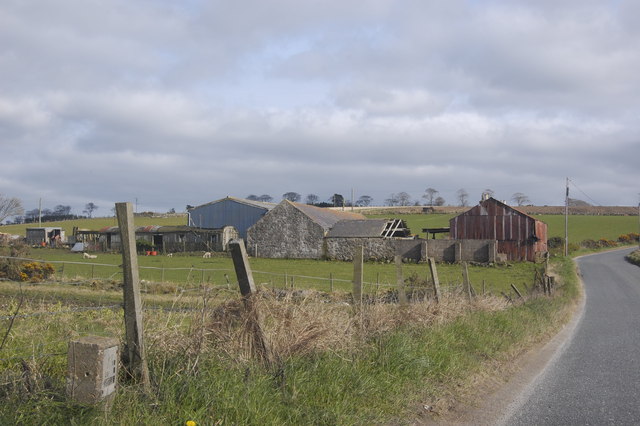
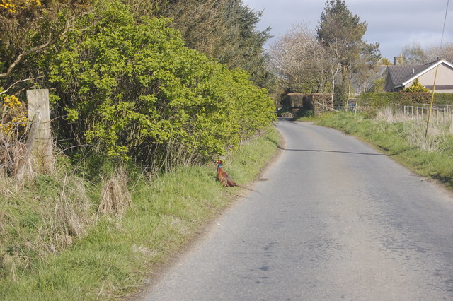
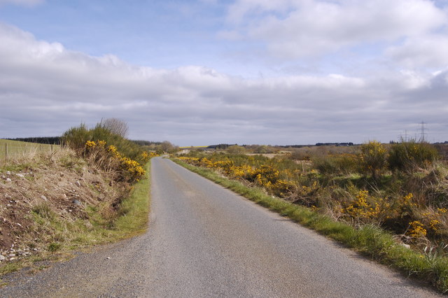
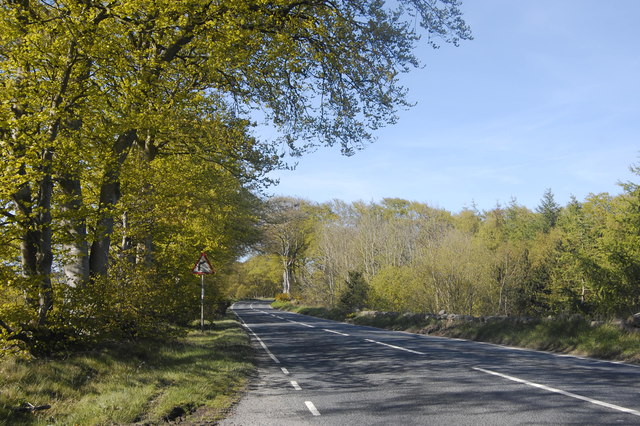
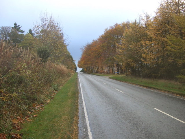
Nature enthusiasts will appreciate the abundance of natural beauty surrounding Drumligair. The village is surrounded by verdant landscapes, offering opportunities for scenic walks and hikes. A notable landmark nearby is the River Don, which flows through the area, providing picturesque views and the chance for fishing enthusiasts to indulge in their hobby.
Despite its small size, Drumligair has a strong sense of community. The residents are known for their friendliness and welcoming nature. The village also boasts a close-knit social scene, with various community events and gatherings throughout the year, such as summer fetes and Christmas markets.
For those seeking amenities and services, nearby Aberdeen offers a range of shopping centers, restaurants, and cultural attractions. Drumligair provides a tranquil escape from the city's hustle and bustle, while still being conveniently located for those who require access to urban amenities.
In summary, Drumligair is a charming village in Aberdeenshire, Scotland, known for its picturesque architecture, beautiful natural surroundings, and strong community spirit. It offers a peaceful retreat while still providing easy access to nearby amenities in Aberdeen.
If you have any feedback on the listing, please let us know in the comments section below.
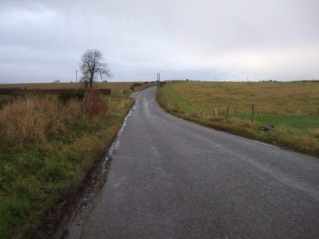
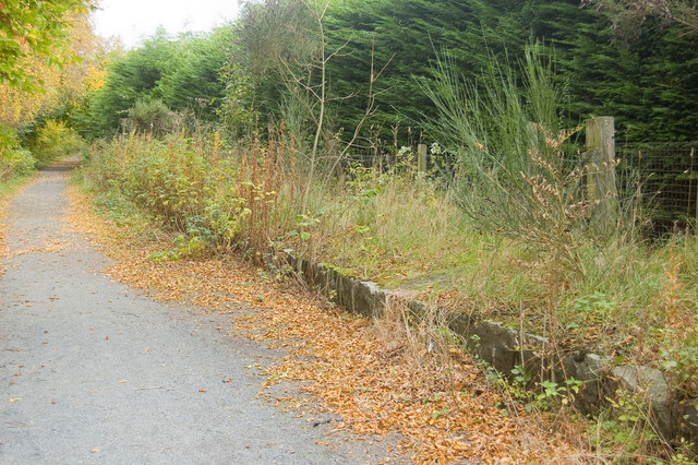
Drumligair Images
Images are sourced within 2km of 57.239132/-2.1636529 or Grid Reference NJ9016. Thanks to Geograph Open Source API. All images are credited.

Drumligair is located at Grid Ref: NJ9016 (Lat: 57.239132, Lng: -2.1636529)
Unitary Authority: Aberdeenshire
Police Authority: North East
What 3 Words
///snail.cushy.typhoon. Near Newmacher, Aberdeenshire
Nearby Locations
Related Wikis
Parkhill railway station
Parkhill railway station was a railway station in Parkhill, Aberdeenshire. == History == The station was opened on 18 July 1861 by the Formartine and Buchan...

Kingseat, Aberdeenshire
Kingseat is a village in Aberdeenshire, Scotland about 10 miles (16 km) to the north-west of Aberdeen and 1 mile (1.6 km) east of Newmachar. == History... ==
Kingseat Hospital, Aberdeenshire
Kingseat Hospital is a former mental health facility near Newmachar in Aberdeenshire, Scotland. Some of the old hospital buildings now form the central...

Whitecairns
Whitecairns is a village in the Formartine area of Aberdeenshire, Scotland, lying 3.6 kilometres (2.2 mi) north of Potterton and 9.7 kilometres (6.0 mi...

Dyce F.C.
Dyce Football Club (formerly Dyce Juniors Football Club) are a Scottish football club from Dyce, a suburb of Aberdeen. Members of the Scottish Junior...

Dyce stones
The Dyce stones are a collection of Pictish and Early Medieval sculptured stones that are housed in a shelter in the ruined St Fergus's Chapel, Dyce, Aberdeen...

Newmachar
Newmachar is a village in Aberdeenshire, Scotland, about 10 miles (16 km) to the north-west of Aberdeen. The settlement has a long history previously being...

Dyce Academy
Dyce Academy is the only state secondary school in Dyce, a small suburb of Aberdeen, serving as the sole provider of secondary education in the area. Dyce...
Nearby Amenities
Located within 500m of 57.239132,-2.1636529Have you been to Drumligair?
Leave your review of Drumligair below (or comments, questions and feedback).