Donibristle

Settlement in Fife

Scotland

Donibristle

Welcome to Little Raith Wind Farm Information about the 9 x 2.75 MW turbine wind farm, apparently enough to supply 14500 average household, when the wind blows <a href="https://www.geograph.org.uk/photo/5288292">NT1790 : Little Raith Wind Farm</a>.
Welcome to Little Raith Wind Farm Credit: M J Richardson

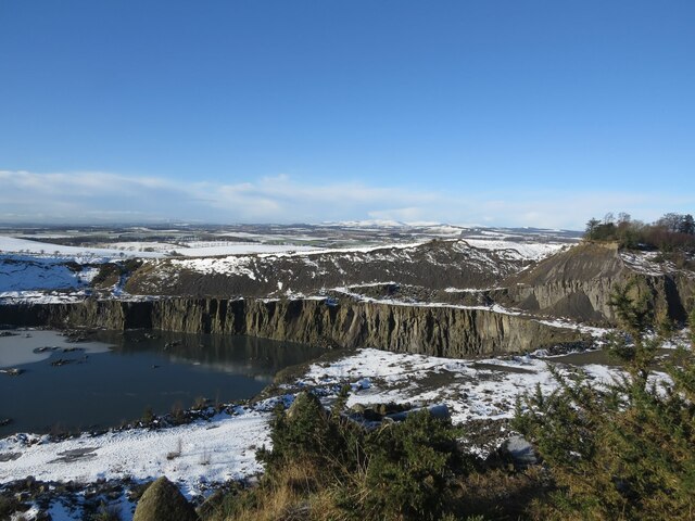
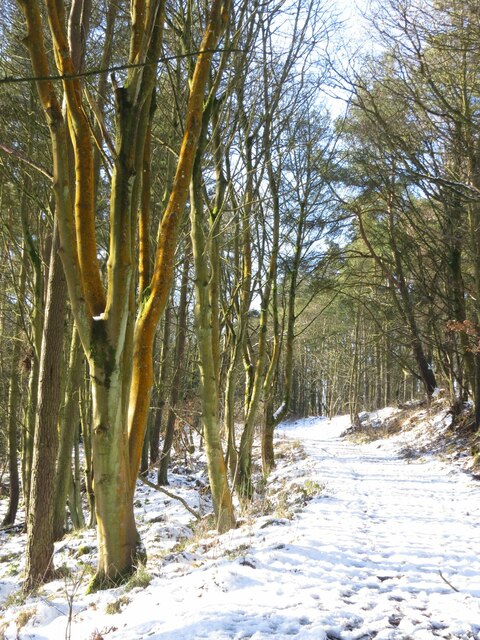
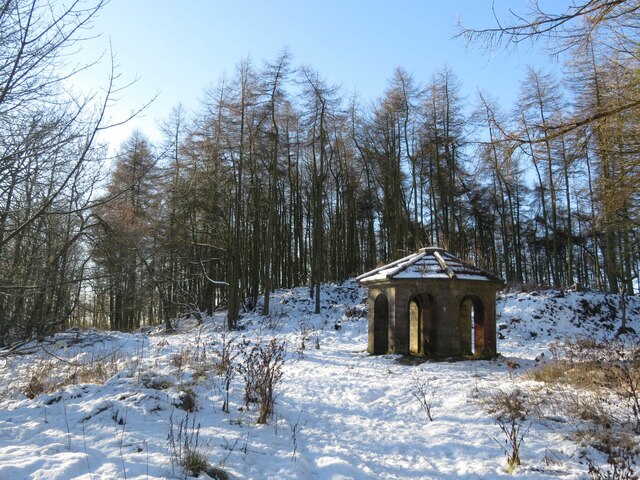
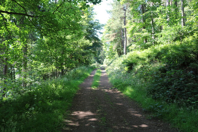
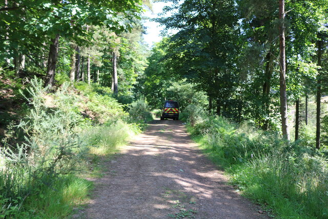
Donibristle is a small village located in the county of Fife, Scotland. Situated on the northern shore of the Firth of Forth, it is nestled between the towns of Dalgety Bay and Aberdour. The village is known for its stunning coastal views and tranquil atmosphere, making it a popular destination for nature lovers and those seeking a peaceful retreat.

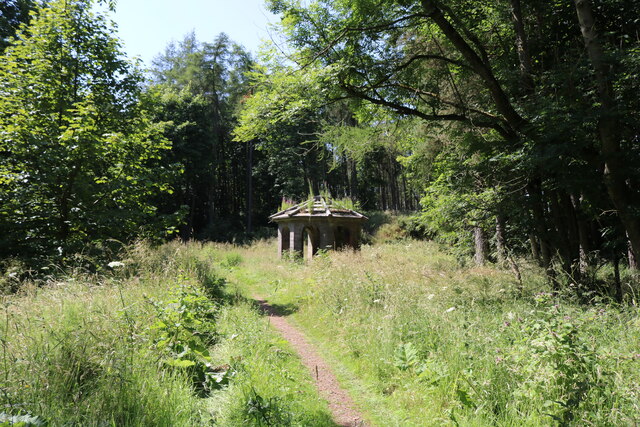
One of the notable landmarks in Donibristle is Donibristle House, a mansion built in the 17th century. The house has a rich history and has served as a residence for various noble families throughout the years. Today, it stands as a private residence and is not open to the public, but its impressive architecture can still be admired from the outside.

Donibristle is also home to a beautiful beach, offering visitors a chance to relax and enjoy the picturesque surroundings. The sandy shores and clear waters make it an ideal spot for picnics, walks, and even water activities such as swimming and kayaking.

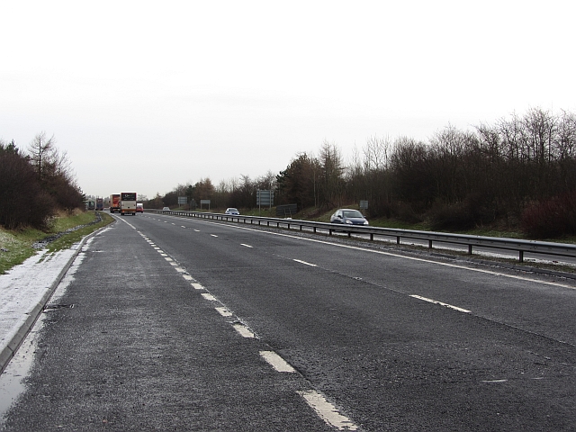
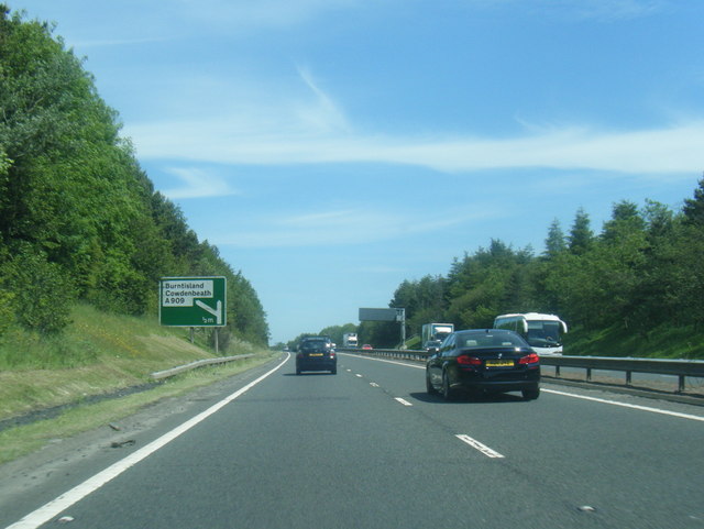
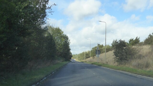
The village is well-connected to the surrounding areas, with easy access to major road networks and public transportation. It is a short drive away from the bustling town of Dunfermline, which offers a range of amenities including shops, restaurants, and entertainment options.

Overall, Donibristle is a charming village that combines natural beauty with a rich historical heritage. Its idyllic location and peaceful atmosphere make it a delightful place to visit for both locals and tourists alike.

If you have any feedback on the listing, please let us know in the comments section below.
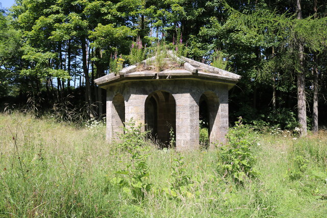
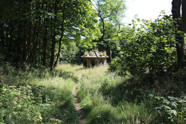
Donibristle Images

Images are sourced within 2km of 56.085176/-3.340931 or Grid Reference NT1688. Thanks to Geograph Open Source API. All images are credited.

Welcome to Little Raith Wind Farm Information about the 9 x 2.75 MW turbine wind farm, apparently enough to supply 14500 average household, when the wind blows <a href="https://www.geograph.org.uk/photo/5288292">NT1790 : Little Raith Wind Farm</a>.
Welcome to Little Raith Wind Farm
Information about the 9 x 2.75 MW turbine wind farm, apparently enough to supply 14500 average household, when the wind blows NT1790 : Little Raith Wind Farm.
Roadside woodland It is usually not a good idea to head off piste from a road layby. Today though I got away with it, nothing unpleasant was encountered.  The layby has good defences of thorns but there was a way through to the old boundary fence and a woodland which goes back to the building of the A92.
Roadside woodland
It is usually not a good idea to head off piste from a road layby. Today though I got away with it, nothing unpleasant was encountered. The layby has good defences of thorns but there was a way through to the old boundary fence and a woodland which goes back to the building of the A92.
Great North Road, Mossmorran When the ethylene plant was built, the road south from Cowdenbeath was realigned. The old road is popular with dog walkers.
Great North Road, Mossmorran
When the ethylene plant was built, the road south from Cowdenbeath was realigned. The old road is popular with dog walkers.
Roadside woodland Watching carefully where I put my feet, I ventured at right angles to the dual carriageway from a layby. The woodland is probably the same age as the road, c.1990.
Roadside woodland
Watching carefully where I put my feet, I ventured at right angles to the dual carriageway from a layby. The woodland is probably the same age as the road, c.1990.
A92 View from a layby near Lochgelly. The dual carriageway was opened in the early 1990s. 
The road is usually populated with police speed camera vans. Sadly these do not detect photographers who should be concentrating on their driving not their points score.
A92
View from a layby near Lochgelly. The dual carriageway was opened in the early 1990s. The road is usually populated with police speed camera vans. Sadly these do not detect photographers who should be concentrating on their driving not their points score.
Old Route of the A909 The A909 was realigned some years ago and left this stretch of tarmac behind.
Old Route of the A909
The A909 was realigned some years ago and left this stretch of tarmac behind.
Old route of the A909, now a footpath The path leading up to the left follows the line of the original A909.
Old route of the A909, now a footpath
The path leading up to the left follows the line of the original A909.
A92 south of Cowdenbeath
Goat Quarry in winter Taken from Cullaloe Hills to the east.
Goat Quarry in winter
Taken from Cullaloe Hills to the east.
Cullaloe Woods in winter
Cullaloe Temple in winter It's more of a folly than a temple, but makes a nice landmark for the square!
Cullaloe Temple in winter
It's more of a folly than a temple, but makes a nice landmark for the square!
A909 by Mossmorran Chemical Works
Forest path This is the main (lower) track through Cullaloe Forest. There is another track higher up the hill (right in this image).
See main article <a title="https://www.geograph.org.uk/article/Cullaloe-Forest-and-Cullaloe-Reservoir" href="https://www.geograph.org.uk/article/Cullaloe-Forest-and-Cullaloe-Reservoir">Link</a>
Forest path
This is the main (lower) track through Cullaloe Forest. There is another track higher up the hill (right in this image). See main article Link
Vehicle on forest track This Forestry Commission vehicle was on the main track through Cullaloe Forest.
See main article <a title="https://www.geograph.org.uk/article/Cullaloe-Forest-and-Cullaloe-Reservoir" href="https://www.geograph.org.uk/article/Cullaloe-Forest-and-Cullaloe-Reservoir">Link</a>
Vehicle on forest track
This Forestry Commission vehicle was on the main track through Cullaloe Forest. See main article Link
What is this? Adjacent to the main track through Cullaloe Forest is this object. Water can be heard gurgling within it and there is a pipe which leads a short way downhill to another 'gurgling thing!'  There are no markings of any kind on it but it's made of plastic so it's a fairly recent construction and, since there isn't a river, burn or other water source nearby, it may be a natural spring which has been capped by the local farmer as a water source.
See main article <a title="https://www.geograph.org.uk/article/Cullaloe-Forest-and-Cullaloe-Reservoir" href="https://www.geograph.org.uk/article/Cullaloe-Forest-and-Cullaloe-Reservoir">Link</a>
What is this?
Adjacent to the main track through Cullaloe Forest is this object. Water can be heard gurgling within it and there is a pipe which leads a short way downhill to another 'gurgling thing!' There are no markings of any kind on it but it's made of plastic so it's a fairly recent construction and, since there isn't a river, burn or other water source nearby, it may be a natural spring which has been capped by the local farmer as a water source. See main article Link
The 'Garden Temple' This folly, sited in Cullaloe Forest, was built in the 19th century by the owner of Cullaloe Estate. It is one of two follies in Cullaloe Forest.
See main article <a title="https://www.geograph.org.uk/article/Cullaloe-Forest-and-Cullaloe-Reservoir" href="https://www.geograph.org.uk/article/Cullaloe-Forest-and-Cullaloe-Reservoir">Link</a>
The 'Garden Temple'
This folly, sited in Cullaloe Forest, was built in the 19th century by the owner of Cullaloe Estate. It is one of two follies in Cullaloe Forest. See main article Link
Show me another place!

Donibristle is located at Grid Ref: NT1688 (Lat: 56.085176, Lng: -3.340931)

Unitary Authority: Fife

Police Authority: Fife

What 3 Words

///cheered.modifies.slot. Near Crossgates, Fife

Nearby Locations

Donibristle

Related Wikis

Crossgates railway station (Fife)

Crossgates Fife railway station co-served the village of Crossgates, Fife, Scotland, from 1848 to 1949 on the Edinburgh and Northern Railway. == History... ==

Hill of Beath

Hill of Beath (( ; Scots: Hill o Beath) is a hill and a village in Fife, Scotland, just outside Dunfermline and joined to Cowdenbeath. On 16 June 1670...

Crossgates, Fife

Crossgates is a village in Fife, Scotland. It is located close to the junction of the M90 and A92, about two miles east of Dunfermline and a similar distance...

Hill of Beath Hawthorn F.C.

Hill of Beath Hawthorn Football Club are a Scottish football club from Hill of Beath, near Cowdenbeath, Fife. Formed in 1975, they play their home games...

Nearby Amenities

Located within 500m of 56.085176,-3.340931
Donibristle
Name Sco: Donibirsel
Place: hamlet
Lat/Long: 56.0847716/-3.3413751
Generator Method: photovoltaic
Generator Output Electricity: yes
Generator Source: solar
Generator Type: solar_photovoltaic_panel
Power: generator
Lat/Long: 56.0846319/-3.3410737
Power: pole
Lat/Long: 56.0845949/-3.3410937
Power: pole
Lat/Long: 56.0846826/-3.339534
Power: pole
Lat/Long: 56.0847726/-3.338307
Power: pole
Lat/Long: 56.0848409/-3.337029
Power: pole
Lat/Long: 56.0849138/-3.3358286
Power: pole
Lat/Long: 56.0849776/-3.3349977
Power: pole
Lat/Long: 56.0880519/-3.3463669
Power: pole
Lat/Long: 56.08793/-3.3446888
Power: pole
Lat/Long: 56.0877865/-3.3429923
Power: pole
Lat/Long: 56.087651/-3.3413428
Power: pole
Lat/Long: 56.0868719/-3.340126
Power: pole
Lat/Long: 56.0864003/-3.3394074
Power: pole
Lat/Long: 56.0865063/-3.3378559
Power: pole
Lat/Long: 56.0867717/-3.3365983
Power: pole
Lat/Long: 56.0871977/-3.3358062
Power: pole
Lat/Long: 56.0878196/-3.3346241
The data included in this document is from www.openstreetmap.org. The data is made available under ODbL.

Have you been to Donibristle?

Leave your review of Donibristle below (or comments, questions and feedback).