Culnacraig

Settlement in Cromartyshire

Scotland

Culnacraig

A misty day Taken on film in 2002.

We had a drive around before we caught the ferry visiting places close to where we stayed in 1977. It had not changed that much.
A misty day Credit: Malcolm Neal

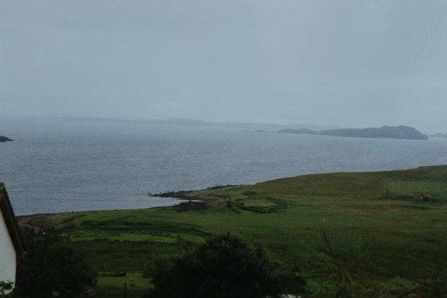
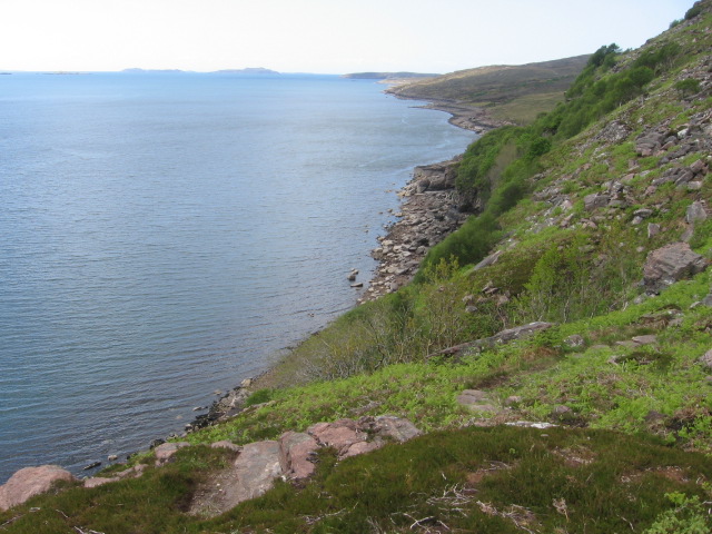
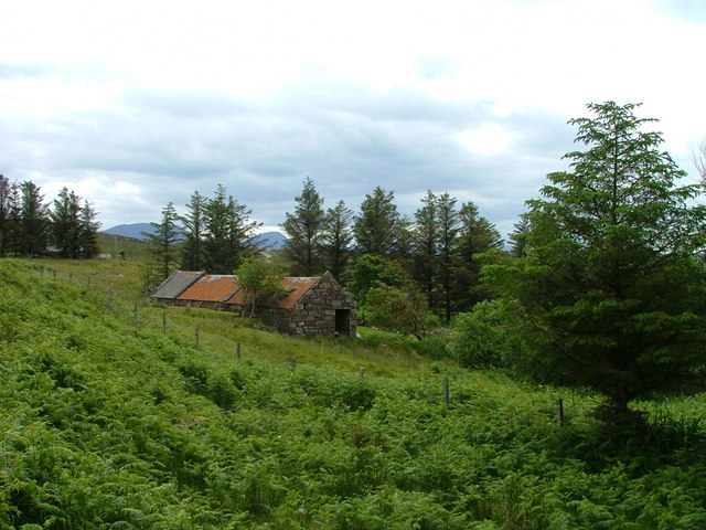
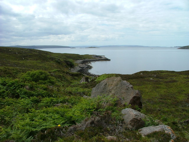
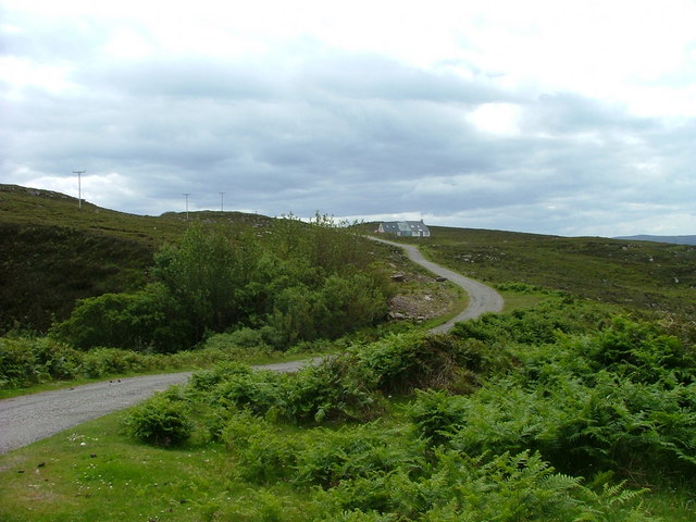
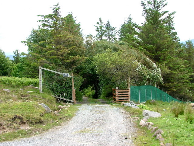
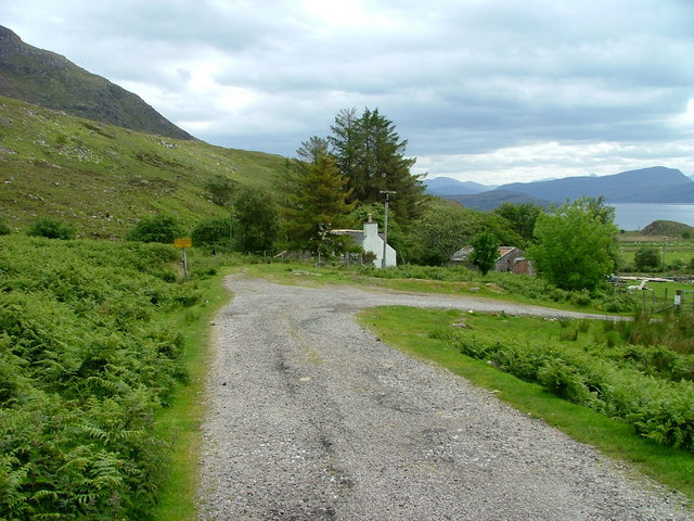
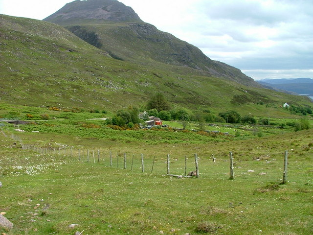
Culnacraig is a small village located in the county of Cromartyshire, Scotland. Situated on the eastern coast of the Highlands, it is nestled between the picturesque Cromarty Firth to the north and the rolling hills of the Black Isle to the south. The village is part of the larger administrative district of Cromarty, and it falls under the jurisdiction of the Highland Council.

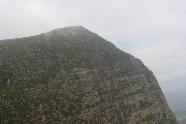
With a population of around 300 residents, Culnacraig exudes a charming rural atmosphere. The village is primarily residential, with a scattering of small businesses catering to the local community's needs. The landscape surrounding Culnacraig is characterized by its natural beauty, featuring lush green fields, tranquil lochs, and stunning views of the nearby mountains.

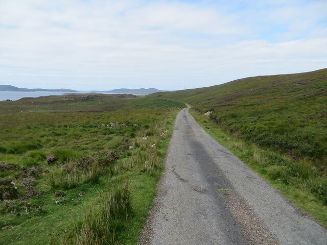
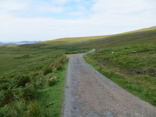
The village is well-connected to the rest of Cromartyshire, with good road links to the nearby town of Cromarty, situated approximately 5 miles to the east, and other surrounding villages. Public transportation options include regular bus services that connect Culnacraig to the wider region.

Culnacraig offers its residents and visitors a range of recreational activities, including access to scenic walking and cycling routes, fishing opportunities in the Cromarty Firth, and birdwatching in the nearby RSPB nature reserves. The village also hosts several community events throughout the year, such as a summer fair and a festive Christmas market.

Overall, Culnacraig is a peaceful and idyllic village, perfect for those seeking a tranquil retreat amidst the natural beauty of the Scottish Highlands.

If you have any feedback on the listing, please let us know in the comments section below.
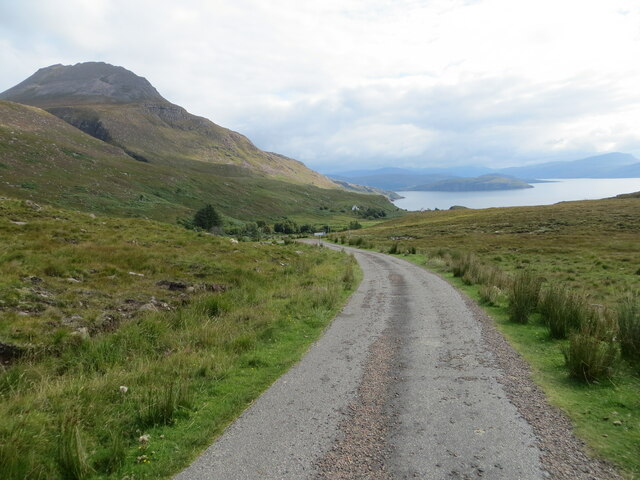
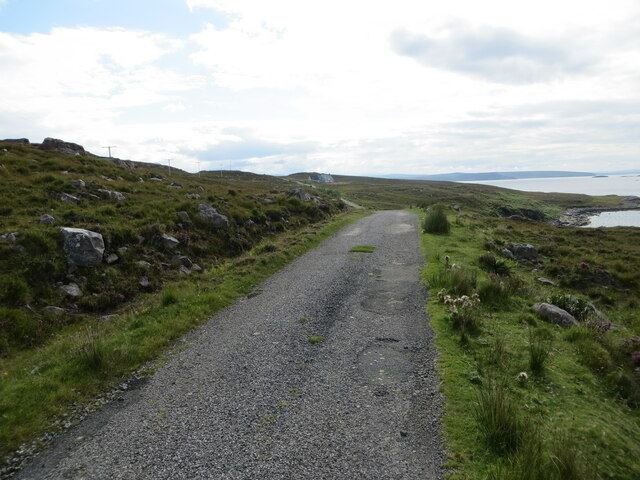
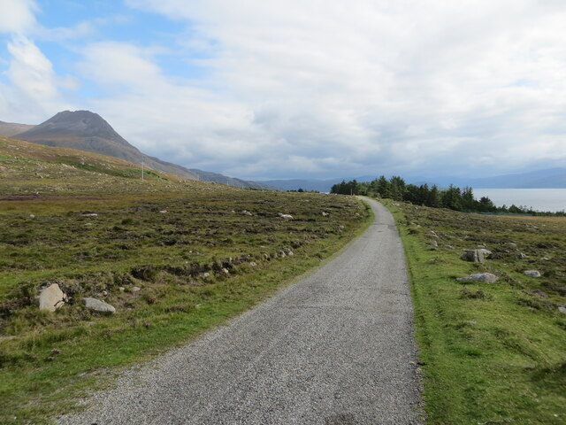
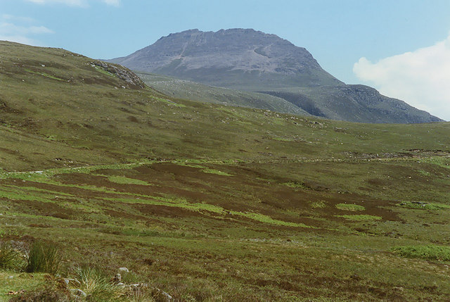
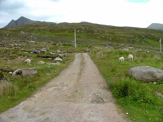
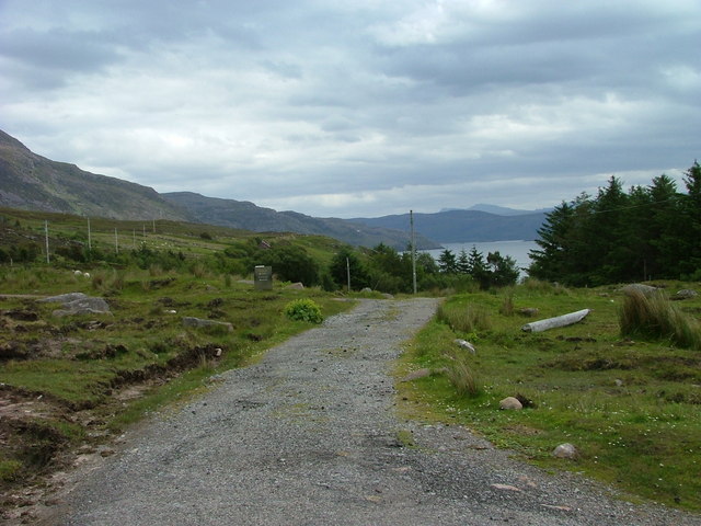
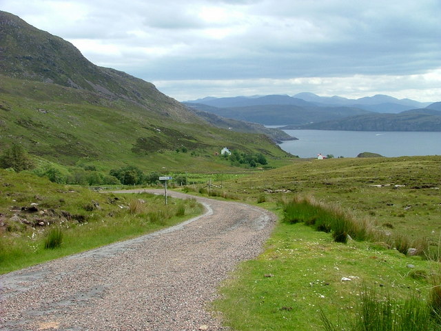
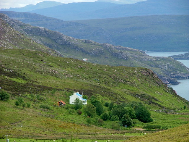
Culnacraig Images

Images are sourced within 2km of 57.983214/-5.2752455 or Grid Reference NC0604. Thanks to Geograph Open Source API. All images are credited.

A misty day Taken on film in 2002.

We had a drive around before we caught the ferry visiting places close to where we stayed in 1977. It had not changed that much.
A misty day
Taken on film in 2002. We had a drive around before we caught the ferry visiting places close to where we stayed in 1977. It had not changed that much.
Coast near Culnacraig
Minor road from Culncraig to Achvraie Looking north-westward.
Minor road from Culncraig to Achvraie
Looking north-westward.
Minor road between Culnacraig and Achvraie Looking north-westward.
Minor road between Culnacraig and Achvraie
Looking north-westward.
Minor road descending towards Culnacraig Looking south-eastward.
Minor road descending towards Culnacraig
Looking south-eastward.
Minor road near to Achnacarinan Looking south-westward.
Minor road near to Achnacarinan
Looking south-westward.
Minor road heading towards Achduart Looking south-eastward.
Minor road heading towards Achduart
Looking south-eastward.
Wet moorland above Achnacarinan Skirted by the road to Culnacraig. The Garbh Choireachan rises in the distance.
Wet moorland above Achnacarinan
Skirted by the road to Culnacraig. The Garbh Choireachan rises in the distance.
Old croft buildings At Achnacarinan.
Old croft buildings
At Achnacarinan.
Moorland above Horse Sound Viewed from the Achduart road.
Moorland above Horse Sound
Viewed from the Achduart road.
House near Achduart
House near Achduart
Driveway to the Old School House Achduart. A very remote and beautiful spot for a school. The children must have had to walk miles from the surrounding townships.
Driveway to the Old School House
Achduart. A very remote and beautiful spot for a school. The children must have had to walk miles from the surrounding townships.
Access track to 167 Achduart and Achduart crofts At the end of the track, a path continues to Culnacraig.
Access track to 167 Achduart and Achduart crofts
At the end of the track, a path continues to Culnacraig.
End of the public road at Achduart
Minor road to Culnacraig Culnacraig consists of a small scattering of houses by the shore of Loch Broom.
Minor road to Culnacraig
Culnacraig consists of a small scattering of houses by the shore of Loch Broom.
Blue roofed house at Culnacraig Above the house, the Stornoway search and rescue helicopter can be seen. It had been called out to air lift an injured walker who had fallen thirty feet. While performing the rescue, another call came, informing them that two canoeists were in difficulty. See....<span class="nowrap"><a title="http://www.ross-shirejournal.co.uk/News/Ross-double-rescue-drama-07062011.htm" rel="nofollow ugc noopener" href="http://www.ross-shirejournal.co.uk/News/Ross-double-rescue-drama-07062011.htm">Link</a><img style="margin-left:2px;" alt="External link" title="External link - shift click to open in new window" src="https://s1.geograph.org.uk/img/external.png" width="10" height="10"/></span>
Blue roofed house at Culnacraig
Above the house, the Stornoway search and rescue helicopter can be seen. It had been called out to air lift an injured walker who had fallen thirty feet. While performing the rescue, another call came, informing them that two canoeists were in difficulty. See....LinkExternal link
End of the public road at Culnacraig
Croft at Culnacraig Below the slopes of Garbh Coireachan.
Croft at Culnacraig
Below the slopes of Garbh Coireachan.
Show me another place!

Culnacraig is located at Grid Ref: NC0604 (Lat: 57.983214, Lng: -5.2752455)

Unitary Authority: Highland

Police Authority: Highlands and Islands

What 3 Words

///handover.tangible.bulky. Near Ullapool, Highland

Nearby Locations

Culnacraig

Related Wikis

Achduart

Achduart (Gaelic: Achadh Dhubhaird) is a coastal hamlet in Coigach, Wester Ross in northwestern Scotland, now within the Highland council area. It is situated...

Ben Mor Coigach

Ben Mor Coigach (Scottish Gaelic: Beinn Mhòr na Còigich) is the highest point along a ridge rising steeply from Loch Broom, in the far north-west of Scotland...

Sgurr an Fhidhleir

Sgurr an Fhidhleir (705 m) is a mountain in the Northwest Highlands of Scotland. It lies in the Coigach area of Ross and Cromarty. Its summit lies atop...

Polglass

Polglass (Scottish Gaelic: Am Poll Glas) is a long crofting township, lying on the north shore of the sea loch, Loch Broom in Ullapool Ross-shire, Scottish...

Horse Island, Summer Isles

Horse Island (Scottish Gaelic: Eilean nan Each) is an uninhabited island in the Summer Isles, in the north west of Scotland. Once inhabited, the island...

Beinn an Eoin (Coigach)

Beinn an Eoin (619 m) is a mountain in the Northwest Highlands of Scotland. It lies in the remote Coigach area in the far northwest of Scotland, north...

Isle Martin

Isle Martin (Scottish Gaelic: Eilean Mhàrtainn) is an uninhabited island in Loch Broom, on the west coast of Scotland. It is the closest of the Summer...

Achiltibuie

Achiltibuie (; Scottish Gaelic: Achd Ille Bhuidhe or Field of the yellow-haired boy) is a long linear village in Ross and Cromarty, Highland, on the Coigach...

Nearby Amenities

Located within 500m of 57.983214,-5.2752455
Culnacraig
Name Gd: Cùl na Creige
Place: hamlet
Lat/Long: 57.9819611/-5.2747946
Ford: yes
Lat/Long: 57.9816003/-5.2739787
Ford: yes
Lat/Long: 57.9829139/-5.2743541
Power: pole
Lat/Long: 57.9792327/-5.2788686
Power: pole
Lat/Long: 57.9795828/-5.2760918
Power: pole
Lat/Long: 57.9799507/-5.2740815
The data included in this document is from www.openstreetmap.org. The data is made available under ODbL.

Have you been to Culnacraig?

Leave your review of Culnacraig below (or comments, questions and feedback).