Crofts of Benachielt
Settlement in Caithness
Scotland
Crofts of Benachielt
Crofts of Benachielt is a small rural settlement located in the county of Caithness, in the Highland region of Scotland. Situated in the northernmost part of the country, this hamlet is characterized by its picturesque surroundings and tranquil atmosphere.
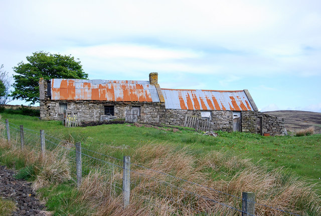
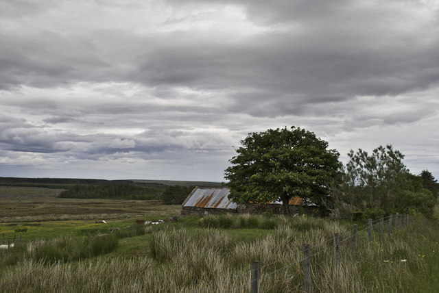
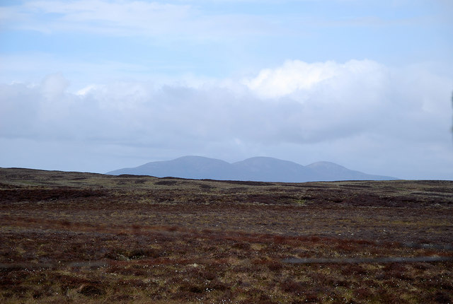
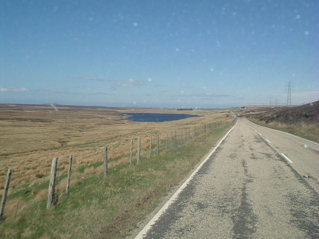
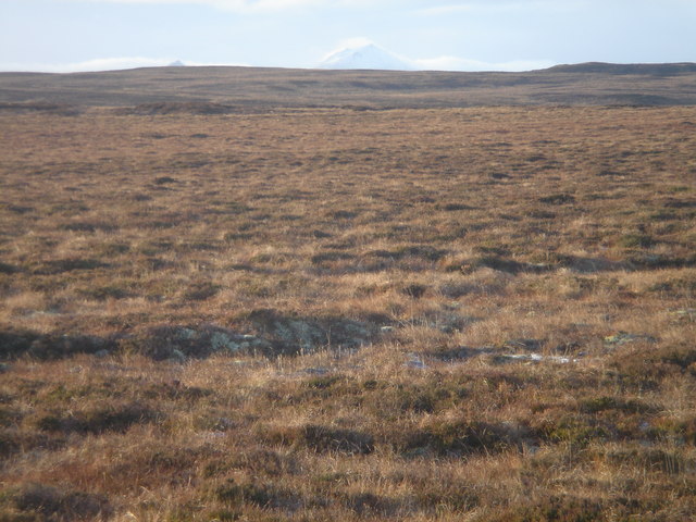
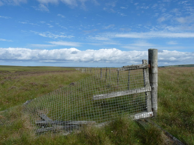
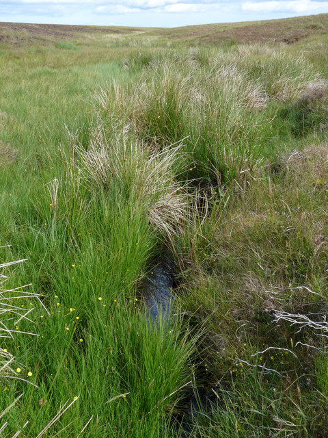
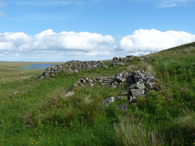
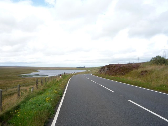
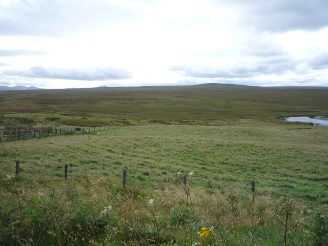
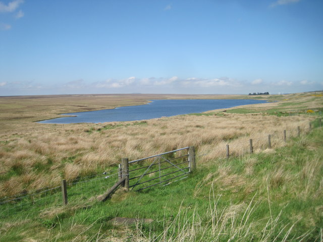
The settlement is nestled amidst rolling green hills and farmland, offering breathtaking views of the surrounding countryside. Crofts of Benachielt is primarily known for its traditional crofting practices, which involve small-scale agriculture and livestock rearing. The crofts, or small farms, are scattered throughout the area, each with its own unique charm and character.
The community in Crofts of Benachielt is tight-knit, with a population of approximately 200 residents. The residents mainly consist of families who have lived in the area for generations, preserving the rich cultural heritage and traditions of the region. The locals are known for their warm hospitality and friendly nature, making visitors feel welcome and at home.
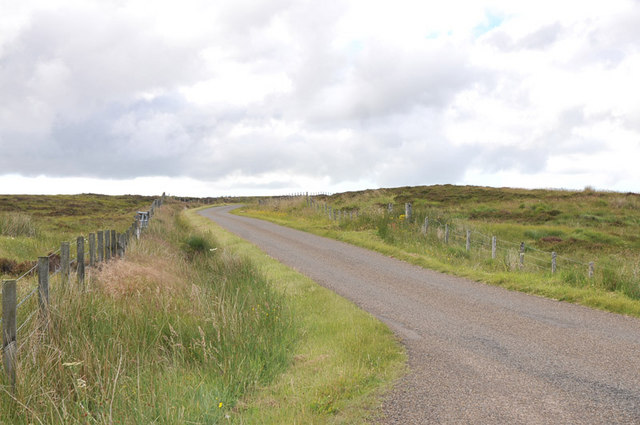
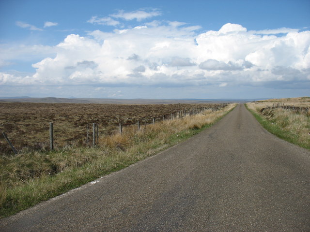
Despite its rural location, Crofts of Benachielt enjoys good connectivity to nearby towns and cities. The closest major settlement is Thurso, which is about 10 miles away, providing access to various amenities such as shops, schools, and healthcare facilities.
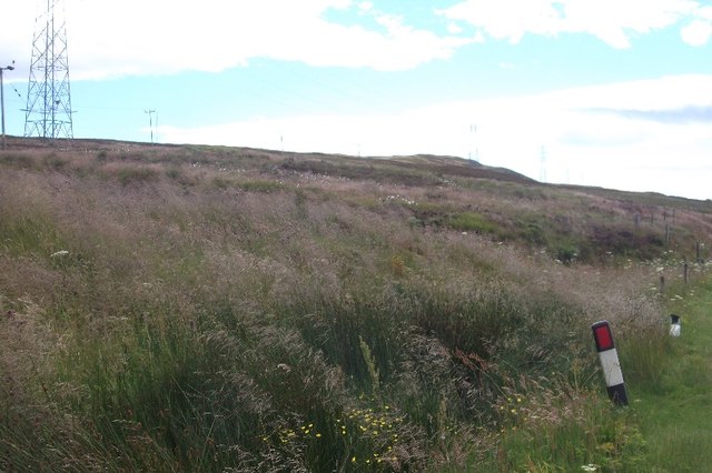
For nature lovers and outdoor enthusiasts, Crofts of Benachielt offers an abundance of opportunities. The surrounding area is teeming with wildlife, making it an ideal spot for birdwatching and nature walks. Visitors can also explore the nearby coastline, with its rugged cliffs and beautiful sandy beaches.
In summary, Crofts of Benachielt is a charming rural settlement in Caithness, Scotland, known for its crofting traditions, stunning landscapes, and welcoming community.
If you have any feedback on the listing, please let us know in the comments section below.
Crofts of Benachielt Images
Images are sourced within 2km of 58.331836/-3.3954872 or Grid Reference ND1838. Thanks to Geograph Open Source API. All images are credited.


Crofts of Benachielt is located at Grid Ref: ND1838 (Lat: 58.331836, Lng: -3.3954872)
Unitary Authority: Highland
Police Authority: Highlands and Islands
What 3 Words
///busy.hoofs.universes. Near Dunbeath, Highland
Nearby Locations
Related Wikis

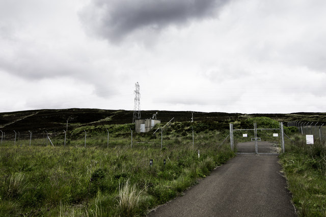
Rumster Forest transmitting station
The Rumster Forest transmitting station is a broadcasting and telecommunications facility near the town of Wick, in Caithness, Scotland (grid reference...

Achavanich
Achavanich ( ak-ə-VAN-ik; Scottish Gaelic: Achadh a’ Mhanaich) is an unusual megalithic horseshoe-shaped structure near Loch Stemster in Caithness, Scotland...

Houstry
Houstry is a scattered crofting village, in the east coast of Dunbeath, Caithness, Scottish Highlands and is in the Scottish council area of Highland.A...

Landhallow
Landhallow is a small village, approximately 1 mile west of Latheron in eastern Caithness, Scottish Highlands and is in the Scottish council area of...
Smerral
Smerral is a small hamlet on the eastern coast of Caithness, Scottish Highlands and is in the Scottish council area of Highland. It lies 1 mile (1.6 km...
Latheron
Latheron (from Scottish Gaelic Latharn 'muddy place') is a small village and civil parish in Caithness, in the Highland area of Scotland, centred on the...

Latheronwheel
Latheronwheel (from Scottish Gaelic Latharn a' Phuill 'muddy place of the pool') is a small village in Caithness, in the Highland area of Scotland. It...
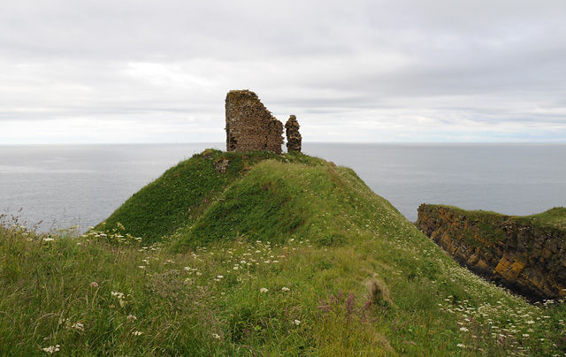
Forse Castle
Forse Castle is a ruined building dating from 1200 in the hamlet of Forse in the Caithness region in the Scottish council area of Highland. It is protected...
Nearby Amenities
Located within 500m of 58.331836,-3.3954872Have you been to Crofts of Benachielt?
Leave your review of Crofts of Benachielt below (or comments, questions and feedback).