Craigie

Settlement in Aberdeenshire

Scotland

Craigie

Cattle by Ardo Cattle grazing in a field by Newton of Ardo with woodland behind.
Cattle by Ardo Credit: Andrew Wood

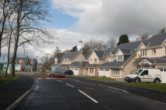
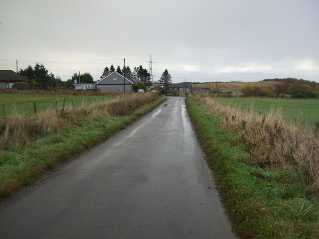
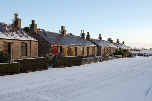
Craigie is a small village located in Aberdeenshire, Scotland, with a population of around 500 residents. Situated in the eastern part of the country, it lies approximately 6 miles south of the town of Stonehaven and 16 miles southwest of Aberdeen.

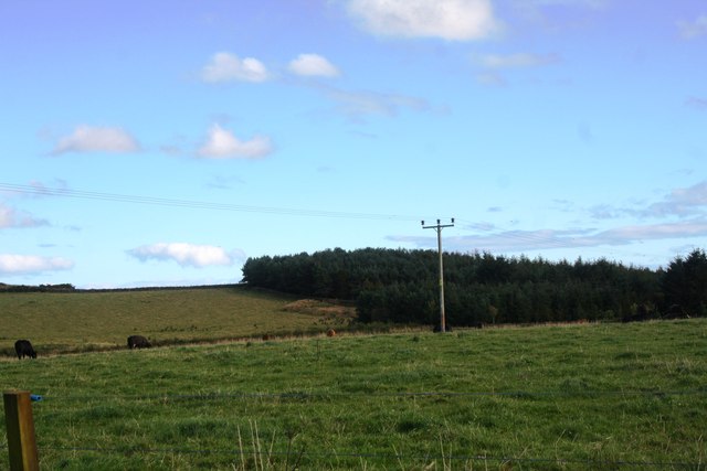
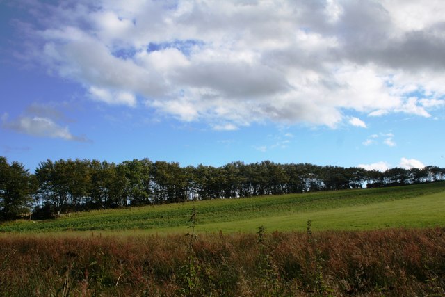
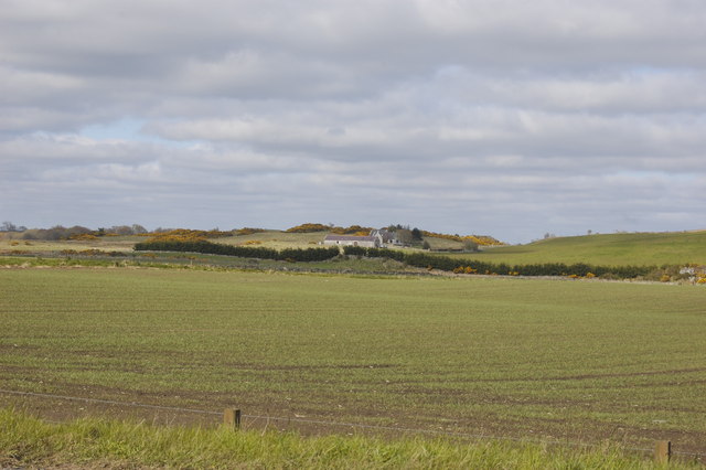
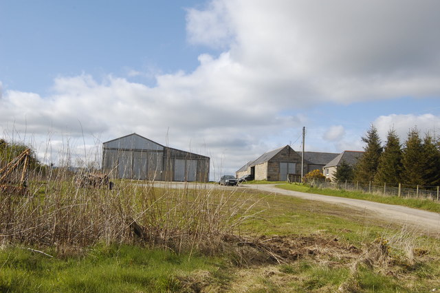
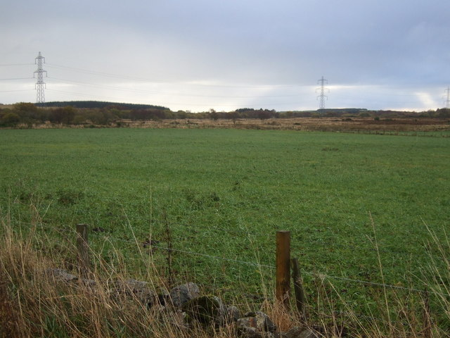
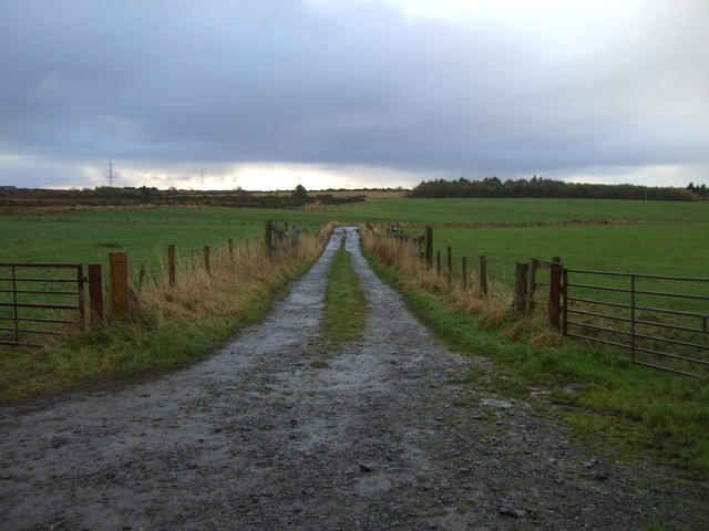
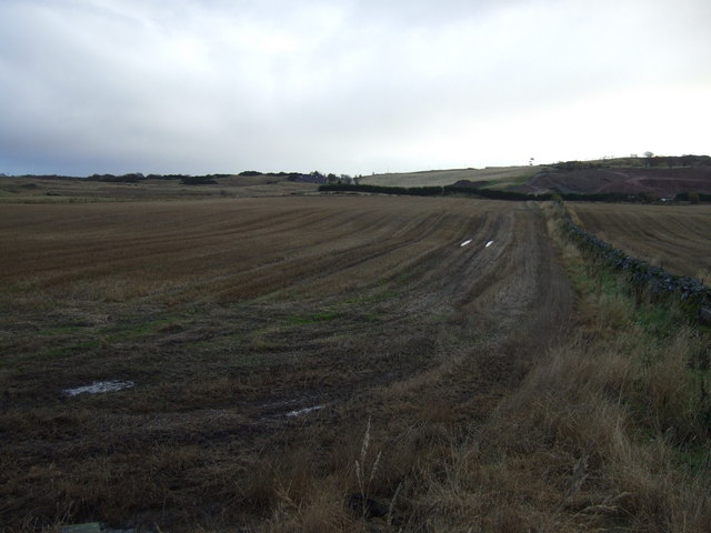
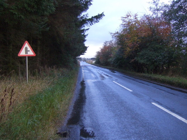
The village is known for its picturesque setting, surrounded by rolling hills and verdant countryside. It offers a tranquil and rural atmosphere, making it an attractive place for those seeking a peaceful lifestyle away from the hustle and bustle of larger towns and cities.

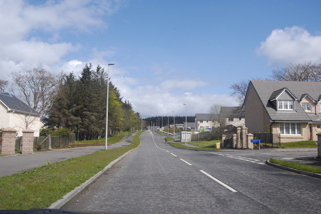
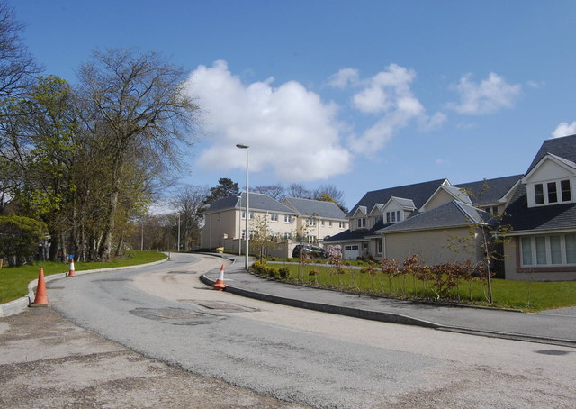
Craigie boasts a close-knit community, with a range of local amenities to serve its residents. These include a primary school, a village hall, and a post office. The village also has a local pub and a few small businesses, providing essential services and fostering a sense of community spirit.

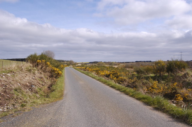
For outdoor enthusiasts, Craigie offers ample opportunities for exploration and recreation. The surrounding area is ideal for hiking, cycling, and nature walks, with various trails and paths showcasing the region's natural beauty. Additionally, the nearby coastline offers stunning views and opportunities for beach walks and water sports.

While Craigie may be small, its proximity to larger towns and cities ensures that residents have access to a wider range of amenities and employment opportunities. Aberdeen, a vibrant city known for its oil industry, is just a short drive away, providing residents with access to shopping centers, cultural attractions, and employment prospects.

If you have any feedback on the listing, please let us know in the comments section below.
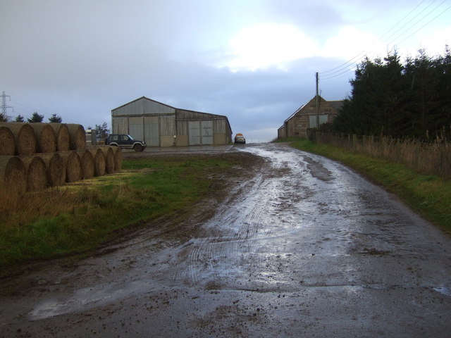
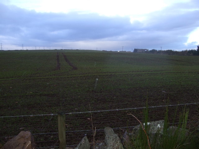
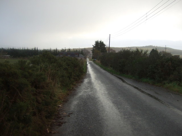
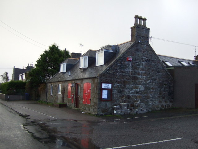
Craigie Images

Images are sourced within 2km of 57.264288/-2.1384158 or Grid Reference NJ9119. Thanks to Geograph Open Source API. All images are credited.

Cattle by Ardo Cattle grazing in a field by Newton of Ardo with woodland behind.
Cattle by Ardo
Cattle grazing in a field by Newton of Ardo with woodland behind.
Treebelt by Ardo Farmland and a tree shelterbelt near Ardo House.
Treebelt by Ardo
Farmland and a tree shelterbelt near Ardo House.
New Builds in the country Part of the huge "concept development" at Kingseat Meadows to establish a new suburban village in the country.  Canmore Close is on the right.   The build quality seems way higher than most modern estates.
New Builds in the country
Part of the huge "concept development" at Kingseat Meadows to establish a new suburban village in the country. Canmore Close is on the right. The build quality seems way higher than most modern estates.
Bacchanate Way, Kingseat Meadows, Aberdeenshire Some of the new-build houses on the Kingseat development.
Bacchanate Way, Kingseat Meadows, Aberdeenshire
Some of the new-build houses on the Kingseat development.
Former Hospital Administration Building, Kingseat The Kingseat site was the first "village hospital" in the UK, inspired by European examples. It treated casualties from Atlantic Convoys in WWII and was later used as a residential mental-health facility.  
For more on its interesting history, see:  <span class="nowrap"><a title="http://www.aberdeenshire.gov.uk/planning/devbriefs/KingseatBriefFeb03.pdf" rel="nofollow ugc noopener" href="http://www.aberdeenshire.gov.uk/planning/devbriefs/KingseatBriefFeb03.pdf">Link</a><img style="margin-left:2px;" alt="External link" title="External link - shift click to open in new window" src="https://s1.geograph.org.uk/img/external.png" width="10" height="10"/></span> (warning: large file, 4MByte).  The road has the impressive name of King Malcolm Drive, because King Malcolm reputedly stopped in the area after defeating Macbeth at the battle of Lumphanen in 1057.
Former Hospital Administration Building, Kingseat
The Kingseat site was the first "village hospital" in the UK, inspired by European examples. It treated casualties from Atlantic Convoys in WWII and was later used as a residential mental-health facility. For more on its interesting history, see: LinkExternal link (warning: large file, 4MByte). The road has the impressive name of King Malcolm Drive, because King Malcolm reputedly stopped in the area after defeating Macbeth at the battle of Lumphanen in 1057.
Whitecairns fields The village/hamlet of Whitecairns is only built on the west side of the road (the B999) with fields on the right.
Whitecairns fields
The village/hamlet of Whitecairns is only built on the west side of the road (the B999) with fields on the right.
Mains of Whitecairns Farm Part of a huge, sprawling complex of farm buildings.
Mains of Whitecairns Farm
Part of a huge, sprawling complex of farm buildings.
Red Moss The single-track road with obligatory gorse skirts the boggy, infertile Red Moss
Red Moss
The single-track road with obligatory gorse skirts the boggy, infertile Red Moss
Too new for the map Some of the new-builds at the Kingseat Meadows development.
Too new for the map
Some of the new-builds at the Kingseat Meadows development.
Grazing, Red Moss
Grazing, Red Moss
Track towards Bridgefoot
Country road heading east  Towards Whitecairns.
Country road heading east
Towards Whitecairns.
Mains of Whitecairns
Farmland, Mains of Whitecairns
Country road heading east  Towards Whitecairns.
Country road heading east
Towards Whitecairns.
Old Shop Whitecairns Now closed.
Old Shop Whitecairns
Now closed.
Farmland, Whitecairns
B999 heading north Towards Pitmedden.
B999 heading north
Towards Pitmedden.
Show me another place!

Craigie is located at Grid Ref: NJ9119 (Lat: 57.264288, Lng: -2.1384158)

Unitary Authority: Aberdeenshire

Police Authority: North East

What 3 Words

///cars.distanced.mend. Near Newmacher, Aberdeenshire

Nearby Locations

Craigie

Related Wikis

Whitecairns

Whitecairns is a village in the Formartine area of Aberdeenshire, Scotland, lying 3.6 kilometres (2.2 mi) north of Potterton and 9.7 kilometres (6.0 mi...

Kingseat, Aberdeenshire

Kingseat is a village in Aberdeenshire, Scotland about 10 miles (16 km) to the north-west of Aberdeen and 1 mile (1.6 km) east of Newmachar. == History... ==

Kingseat Hospital, Aberdeenshire

Kingseat Hospital is a former mental health facility near Newmachar in Aberdeenshire, Scotland. Some of the old hospital buildings now form the central...

Newmachar railway station

Newmachar railway station was a railway station in Newmachar, Aberdeenshire which is now closed. == History == The station was opened on 18 July 1861 by...

Newmachar

Newmachar is a village in Aberdeenshire, Scotland, about 10 miles (16 km) to the north-west of Aberdeen. The settlement has a long history previously being...

Belhelvie

Belhelvie (Scottish Gaelic: Baile Shealbhaigh) is a small village and civil parish in Aberdeenshire in Scotland. The parish has a population of 3,802...

Newmachar United F.C.

Newmachar United Junior Football Club are a Scottish football club from the village of Newmachar, Aberdeenshire. They became members of the Scottish Junior...

Potterton

Potterton is a village north of Aberdeen, Scotland, in Aberdeenshire, west of Balmedie. Population in 1991 was 1159, falling by 2001 to 886. == References ==

Nearby Amenities

Located within 500m of 57.264288,-2.1384158
Power: pole
Lat/Long: 57.2607421/-2.1348804
Power: pole
Lat/Long: 57.2609344/-2.1362984
Power: pole
Lat/Long: 57.2606679/-2.1374578
Power: pole
Lat/Long: 57.2604079/-2.1386375
Power: pole
Lat/Long: 57.2601249/-2.1398656
Power: pole
Lat/Long: 57.2625196/-2.1459269
Power: pole
Lat/Long: 57.2626303/-2.1449195
Power: pole
Lat/Long: 57.2627433/-2.1438937
Power: pole
Lat/Long: 57.2627632/-2.1425874
Power: pole
Lat/Long: 57.2629315/-2.1414941
Power: pole
Lat/Long: 57.263143/-2.1401591
Power: pole
Lat/Long: 57.2632592/-2.1393606
Power: pole
Lat/Long: 57.2633766/-2.1385702
Power: pole
Lat/Long: 57.2629381/-2.1383061
Power: pole
Lat/Long: 57.2624797/-2.1380379
Power: pole
Lat/Long: 57.2620302/-2.1377738
Power: pole
Lat/Long: 57.2636634/-2.1415964
Power: pole
Lat/Long: 57.2644451/-2.1417111
Power: pole
Lat/Long: 57.2649533/-2.141621
Power: pole
Lat/Long: 57.2655346/-2.141533
Power: pole
Lat/Long: 57.2662276/-2.1415309
Power: pole
Lat/Long: 57.2667679/-2.1417439
Power: pole
Lat/Long: 57.2678341/-2.1421288
Power: pole
Lat/Long: 57.265673/-2.1403925
Power: pole
Lat/Long: 57.2658523/-2.1390146
Power: pole
Lat/Long: 57.2659099/-2.1385088
Power: pole
Lat/Long: 57.2660693/-2.137268
Power: pole
Lat/Long: 57.266293/-2.136533
Power: pole
Lat/Long: 57.2666019/-2.1355092
Power: pole
Lat/Long: 57.266986/-2.1342705
Power: pole
Lat/Long: 57.2674532/-2.1334515
Power: pole
Lat/Long: 57.267303/-2.1364167
The data included in this document is from www.openstreetmap.org. The data is made available under ODbL.

Have you been to Craigie?

Leave your review of Craigie below (or comments, questions and feedback).