Chimswell

Settlement in Suffolk West Suffolk

England

Chimswell

Roundabout on the Haverhill Bypass
Roundabout on the Haverhill Bypass Credit: David Howard

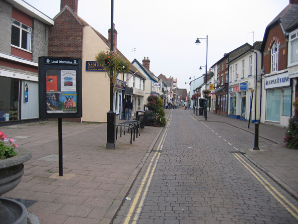
Chimswell is a small village located in the county of Suffolk, England. Situated in the eastern part of the country, it lies approximately 10 miles northeast of the town of Ipswich. With a population of around 500 residents, Chimswell is known for its peaceful and rural atmosphere, surrounded by picturesque countryside.

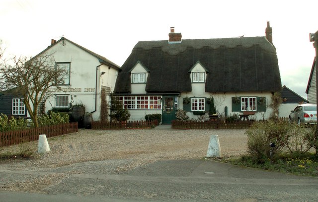
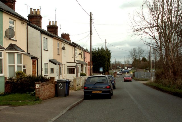
The village is characterized by its traditional architectural style, with a mixture of thatched cottages and brick houses lining its narrow streets. Although relatively small, Chimswell boasts a strong sense of community, with a local pub, village hall, and a small primary school at the heart of its social life.

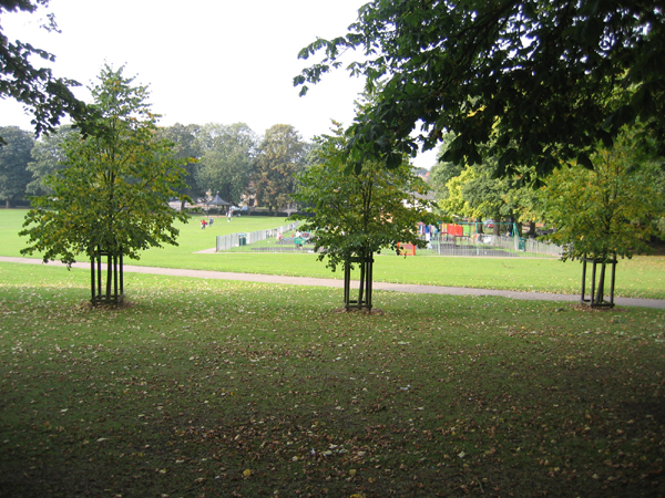
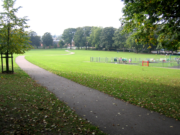
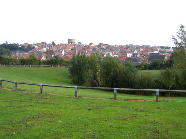
The surrounding countryside offers ample opportunities for outdoor activities, with several footpaths and bridleways crisscrossing the area. The village is also conveniently located near the River Orwell, providing residents with a scenic spot for boating and fishing.

Historically, Chimswell was primarily an agricultural village, with farming being the main source of livelihood for its inhabitants. However, in recent years, it has seen a shift towards a more diverse economy, with some residents commuting to nearby towns for work.

Chimswell's location in the Suffolk countryside makes it an attractive place for those seeking a peaceful and idyllic rural lifestyle. With its strong community spirit and access to beautiful natural surroundings, Chimswell offers a charming and tranquil setting for its residents.

If you have any feedback on the listing, please let us know in the comments section below.
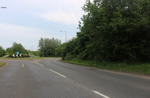
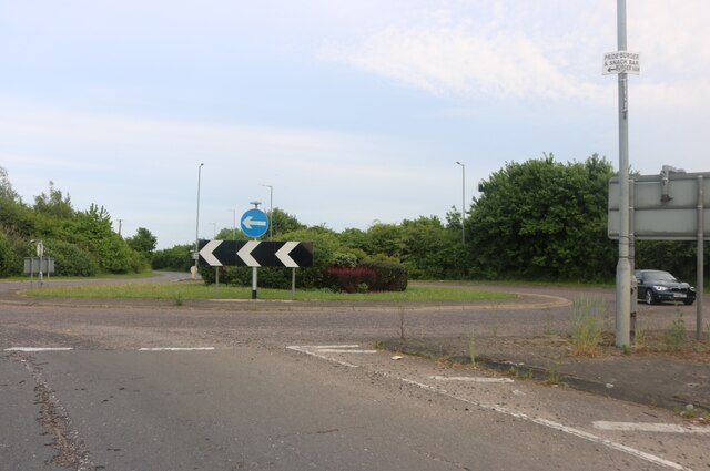
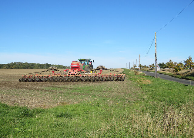
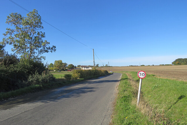
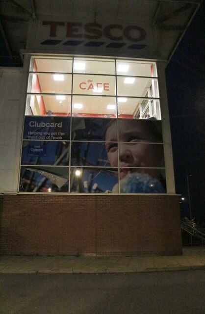
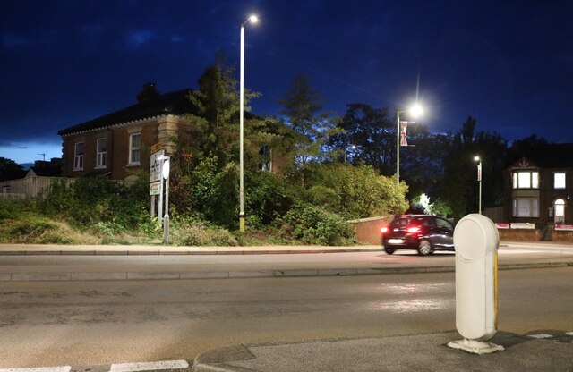
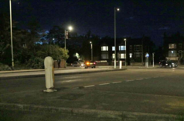
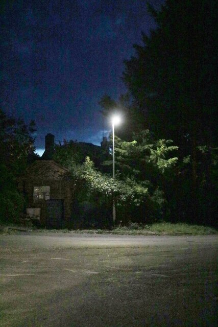
Chimswell Images

Images are sourced within 2km of 52.08817/0.40948299 or Grid Reference TL6546. Thanks to Geograph Open Source API. All images are credited.

Roundabout on the Haverhill Bypass
Withersfield: autumn harrowing Seen from Horseheath Road on a bright October morning. Skipper's Lane, leading to West Wratting and Six Mile Bottom, is on the right.
Withersfield: autumn harrowing
Seen from Horseheath Road on a bright October morning. Skipper's Lane, leading to West Wratting and Six Mile Bottom, is on the right.
Withersfield: Horseheath Road Photographed from the corner of Skipper's Lane on a sunny October morning.
Withersfield: Horseheath Road
Photographed from the corner of Skipper's Lane on a sunny October morning.
Tesco cafe, Haverhill On the side of the supermarket.
Tesco cafe, Haverhill
On the side of the supermarket.
Lord's Croft Lane, Haverhill
Queen Street, Withersfield
Queen Street, Haverhill, Suffolk Quiet for a Saturday afternoon, but England were playing Austria (1-0).
Queen Street, Haverhill, Suffolk
Quiet for a Saturday afternoon, but England were playing Austria (1-0).
The recreation ground and bandstand, Haverhill, Suffolk The rec was presented to the community of Haverhill by the Gurteen family at the end of the 19th century; the Millennium Bandstand was opened in June 1999 <span class="nowrap"><a title="http://www.haverhill-uk.com/photo/rec.shtml" rel="nofollow ugc noopener" href="http://www.haverhill-uk.com/photo/rec.shtml">Link</a><img style="margin-left:2px;" alt="External link" title="External link - shift click to open in new window" src="https://s1.geograph.org.uk/img/external.png" width="10" height="10"/></span>.
The recreation ground and bandstand, Haverhill, Suffolk
The rec was presented to the community of Haverhill by the Gurteen family at the end of the 19th century; the Millennium Bandstand was opened in June 1999 LinkExternal link.
The recreation ground, Haverhill, Suffolk
The town of Haverhill, Suffolk View from Chivers Road with small wetland in foreground, rooftops of the town in the middle distance and water tower in the far distance <a href="https://www.geograph.org.uk/gridref/TL6747">TL6747</a>.
The town of Haverhill, Suffolk
View from Chivers Road with small wetland in foreground, rooftops of the town in the middle distance and water tower in the far distance TL6747.
St. Mary's church, Withersfield, Suffolk This is a fine 15th century church with many interesting features inside, which include many carved poppyheads on the benches and a fine screen.
St. Mary's church, Withersfield, Suffolk
This is a fine 15th century church with many interesting features inside, which include many carved poppyheads on the benches and a fine screen.
Hazel Stub Farm This is the road from Nosterfield End looking towards Haverhill.
Hazel Stub Farm
This is the road from Nosterfield End looking towards Haverhill.
The Haverhill Roundabout Sculpture This 11 metre high sculpture was designed by Rob Olins from London.  It was erected in 2002 and at night it is lit by blue sodium lights and a laser. The roundabout stands at the junction where the A.1017 meets the A.1307
The Haverhill Roundabout Sculpture
This 11 metre high sculpture was designed by Rob Olins from London. It was erected in 2002 and at night it is lit by blue sodium lights and a laser. The roundabout stands at the junction where the A.1017 meets the A.1307
The A.1307 plus a muddy lay-by This is the road from Haverhill to Cambridge
The A.1307 plus a muddy lay-by
This is the road from Haverhill to Cambridge
'The White Horse Inn' at Withersfield
The end of the road from Withersfield
Show me another place!

Chimswell is located at Grid Ref: TL6546 (Lat: 52.08817, Lng: 0.40948299)

Administrative County: Suffolk

District: West Suffolk

Police Authority: Suffolk

What 3 Words

///elsewhere.valley.earmarked. Near Haverhill, Suffolk

Related Wikis

Castle Manor Academy

Castle Manor Academy (formerly Castle Manor Business and Enterprise College) is a secondary phase converter academy school in Haverhill, Suffolk. ��2...

Corn Exchange, Haverhill

The Corn Exchange is a commercial building in Withersfield Road in Haverhill, Suffolk, England. The structure, which is currently vacant and deteriorating...

Haverhill railway station (England)

Haverhill railway station was a station in Haverhill, Suffolk, on the Stour Valley Railway, which opened in 1865 and closed in 1967. It was sometimes known...
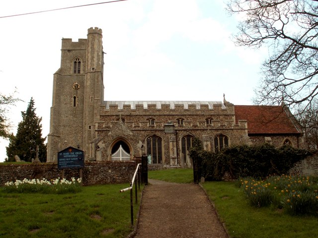
Withersfield

Withersfield is a village and civil parish in the West Suffolk district of Suffolk in eastern England. In 2011 its population was 450. It has a public...

Haverhill, Suffolk

Haverhill ( HAY-vər-hil, HAYV-ril) is a market town and civil parish in the county of Suffolk, England, next to the borders of Essex and Cambridgeshire...

Haverhill South railway station

Haverhill South railway station was located in Haverhill, Suffolk. It was a terminus on the Colne Valley and Halstead Railway. In 1924 passenger services...

Samuel Ward Academy

Samuel Ward Academy (formerly Samuel Ward Arts and Technology College) is a coeducational secondary school and sixth form located in Haverhill in the English...

Haverhill Borough F.C.

Haverhill Borough Football Club is a football club based in Haverhill in England. They are currently members of the Eastern Counties League Division One...

Nearby Amenities

Located within 500m of 52.08817,0.40948299
Crossing
Crossing Island: yes
Lat/Long: 52.0850059/0.4099447
Crossing
zebra
Lat/Long: 52.0889893/0.4088876
Crossing
Crossing Island: yes
Lat/Long: 52.0855395/0.4135786
Noexit: yes
Lat/Long: 52.0863214/0.4083705
Crossing
Crossing: uncontrolled
Crossing Ref: zebra
Lat/Long: 52.0912506/0.411042
Post Box
Postal Code: CB9
Ref: CB9 55
Lat/Long: 52.0918483/0.4124528
Bus Stop
Notley Drive
Bus: yes
Naptan AtcoCode: 390050221
Naptan Bearing: N
Naptan CommonName: Notley Drive
Naptan Indicator: adj
Naptan Landmark: Notley Drive
Naptan NaptanCode: sufgdpta
Naptan Street: Haycocks Road
Naptan Verified: no
Public Transport: platform
Source: naptan_import
Lat/Long: 52.0895321/0.4085716
Bus Stop
Notley Drive
Bus: yes
Naptan AtcoCode: 390050222
Naptan Bearing: S
Naptan BusStopType: CUS
Naptan CommonName: Notley Drive
Naptan Indicator: opp
Naptan Landmark: Notley Drive
Naptan NaptanCode: sufgdptd
Naptan Street: Haycocks Road
Naptan Verified: no
Public Transport: platform
Source: naptan_import
Lat/Long: 52.0893486/0.4087657
Bus Stop
Shardlow Close
Bus: yes
Naptan AtcoCode: 390050223
Naptan Bearing: NE
Naptan CommonName: Shardlow Close
Naptan Indicator: adj
Naptan Landmark: Shardlow Close
Naptan NaptanCode: sufgdptg
Naptan Street: Haycock Drive
Naptan Verified: no
Public Transport: platform
Source: naptan_import
Lat/Long: 52.090832/0.409367
Bus Stop
Shardlow Close
Bus: yes
Naptan AtcoCode: 390050224
Naptan Bearing: SW
Naptan BusStopType: CUS
Naptan CommonName: Shardlow Close
Naptan Indicator: opp
Naptan Landmark: Shardlow Close
Naptan NaptanCode: sufgdptj
Naptan Street: Haycock Drive
Naptan Verified: no
Public Transport: platform
Source: naptan_import
Lat/Long: 52.0907694/0.4094354
Bus Stop
Brybank Road
Bus: yes
Naptan AtcoCode: 390050256
Naptan Bearing: E
Naptan CommonName: Brybank Road
Naptan Indicator: adj
Naptan Landmark: Brybank Road
Naptan NaptanCode: sufgdtja
Naptan Street: Apple Acre Road
Naptan Verified: no
Public Transport: platform
Source: naptan_import
Lat/Long: 52.0881741/0.412104
Bus Stop
Brybank Road
Bus: yes
Naptan AtcoCode: 390050257
Naptan Bearing: W
Naptan BusStopType: CUS
Naptan CommonName: Brybank Road
Naptan Indicator: opp
Naptan Landmark: Brybank Road
Naptan NaptanCode: sufgdtjd
Naptan Street: Apple Acre Road
Naptan Verified: no
Public Transport: platform
Source: naptan_import
Lat/Long: 52.0881187/0.412174
Bus Stop
Burnt House Close
Bus: yes
Naptan AtcoCode: 390050259
Naptan Bearing: NW
Naptan BusStopType: CUS
Naptan CommonName: Burnt House Close
Naptan Indicator: opp
Naptan Landmark: Burnt House Close
Naptan NaptanCode: sufgdtjm
Naptan Street: Apple Acre Road
Naptan Verified: no
Public Transport: platform
Source: naptan_import
Lat/Long: 52.0881936/0.4137683
Bus Stop
Betony Walk
Bus: yes
Naptan AtcoCode: 390050260
Naptan Bearing: S
Naptan CommonName: Betony Walk
Naptan Indicator: adj
Naptan Landmark: Betony Walk
Naptan NaptanCode: sufgdtjp
Naptan Street: Chimswell Way
Naptan Verified: no
Public Transport: platform
Source: naptan_import
Lat/Long: 52.086292/0.4131119
Bus Stop
Betony Walk
Bus: yes
Naptan AtcoCode: 390050261
Naptan Bearing: N
Naptan BusStopType: CUS
Naptan CommonName: Betony Walk
Naptan Indicator: opp 19
Naptan Landmark: Betony Walk
Naptan NaptanCode: sufgdtjt
Naptan Street: Chimswell Way
Naptan Verified: no
Public Transport: platform
Shelter: yes
Source: naptan_import
Lat/Long: 52.0862764/0.4129943
Bus Stop
Vetch Walk
Bus: yes
Naptan AtcoCode: 390050263
Naptan Bearing: NE
Naptan CommonName: Vetch Walk
Naptan Indicator: opp
Naptan Landmark: Vetch Walk
Naptan NaptanCode: sufgdtma
Naptan Street: Chimswell Way
Naptan Verified: no
Public Transport: platform
Source: naptan_import
Lat/Long: 52.088551/0.4158498
Crossing
Crossing: marked
Lat/Long: 52.0914604/0.4117744
Crossing: unmarked
Crossing Island: yes
Lat/Long: 52.0911059/0.4103066
Noexit: yes
Lat/Long: 52.0890576/0.4095757
Traffic Calming: hump
Lat/Long: 52.0882326/0.4130735
Traffic Calming: hump
Lat/Long: 52.0882412/0.4137421
Traffic Calming: hump
Lat/Long: 52.0881532/0.4121311
Addr City: Haverhill
Addr Country: GB
Addr Housenumber: 1
Addr Postcode: CB9 7GY
Addr Street: Kirkley Court
Lat/Long: 52.08474/0.4090806
Addr City: Haverhill
Addr Country: GB
Addr Housenumber: 2
Addr Postcode: CB9 7GY
Addr Street: Kirkley Court
Lat/Long: 52.0845227/0.4090211
Addr City: Haverhill
Addr Country: GB
Addr Housenumber: 3
Addr Postcode: CB9 7GY
Addr Street: Kirkley Court
Lat/Long: 52.084462/0.4088387
Addr City: Haverhill
Addr Country: GB
Addr Housenumber: 13
Addr Postcode: CB9 7YG
Addr Street: Mallow Walk
Lat/Long: 52.0870255/0.4139164
Addr City: Haverhill
Addr Country: GB
Addr Housenumber: 15
Addr Postcode: CB9 7YG
Addr Street: Mallow Walk
Lat/Long: 52.0870427/0.4138426
Addr City: Haverhill
Addr Country: GB
Addr Housenumber: 17
Addr Postcode: CB9 7YG
Addr Street: Mallow Walk
Lat/Long: 52.0870611/0.4137633
Addr City: Haverhill
Addr Country: GB
Addr Housenumber: 19
Addr Postcode: CB9 7YG
Addr Street: Mallow Walk
Lat/Long: 52.0870807/0.4136791
Addr City: Haverhill
Addr Country: GB
Addr Housenumber: 21
Addr Postcode: CB9 7YG
Addr Street: Mallow Walk
Lat/Long: 52.0871/0.4135964
Addr City: Haverhill
Addr Country: GB
Addr Housenumber: 23
Addr Postcode: CB9 7YG
Addr Street: Mallow Walk
Lat/Long: 52.0871187/0.4135162
Addr City: Haverhill
Addr Country: GB
Addr Housenumber: 25
Addr Postcode: CB9 7YG
Addr Street: Mallow Walk
Lat/Long: 52.0871358/0.4134423
Addr City: Haverhill
Addr Country: GB
Addr Housenumber: 27
Addr Postcode: CB9 7YG
Addr Street: Mallow Walk
Lat/Long: 52.0871521/0.4133727
Addr City: Haverhill
Addr Country: GB
Addr Housenumber: 29
Addr Postcode: CB9 7YG
Addr Street: Mallow Walk
Lat/Long: 52.0874032/0.4135547
Addr City: Haverhill
Addr Country: GB
Addr Housenumber: 31
Addr Postcode: CB9 7YG
Addr Street: Mallow Walk
Lat/Long: 52.0873829/0.4136125
Addr City: Haverhill
Addr Country: GB
Addr Housenumber: 33
Addr Postcode: CB9 7YG
Addr Street: Mallow Walk
Lat/Long: 52.0873576/0.4136845
Addr City: Haverhill
Addr Country: GB
Addr Housenumber: 35
Addr Postcode: CB9 7YG
Addr Street: Mallow Walk
Lat/Long: 52.0873255/0.4137759
Addr City: Haverhill
Addr Country: GB
Addr Housenumber: 37
Addr Postcode: CB9 7YG
Addr Street: Mallow Walk
Lat/Long: 52.0872973/0.4138563
Addr City: Haverhill
Addr Country: GB
Addr Housenumber: 39
Addr Postcode: CB9 7YG
Addr Street: Mallow Walk
Lat/Long: 52.0872729/0.4139261
Addr City: Haverhill
Addr Country: GB
Addr Housenumber: 41
Addr Postcode: CB9 7YG
Addr Street: Mallow Walk
Lat/Long: 52.0872503/0.4139904
Addr City: Haverhill
Addr Country: GB
Addr Housenumber: 43
Addr Postcode: CB9 7YG
Addr Street: Mallow Walk
Lat/Long: 52.0872277/0.4140548
Post Box
Brand: Royal Mail
Brand Wikidata: Q638098
Brand Wikipedia: en:Royal Mail
Collection Times: Mo-Fr 09:00; Sa 07:00
Operator: Royal Mail
Operator Wikidata: Q638098
Post Box Design: type_b
Post Box Type: pillar
Ref: CB9 18
Royal Cypher: EIIR
Royal Cypher Wikidata: Q33102113
Source: survey
Lat/Long: 52.0883884/0.4164067
Post Box
Brand: Royal Mail
Brand Wikidata: Q638098
Brand Wikipedia: en:Royal Mail
Collection Times: Mo-Fr 17:15; Sa 12:15
Operator: Royal Mail
Operator Wikidata: Q638098
Post Box Design: type_k
Post Box Type: pillar
Ref: CB9 60
Royal Cypher: EIIR
Royal Cypher Wikidata: Q33102113
Source: survey
Lat/Long: 52.0887473/0.4088894
Noexit: yes
Lat/Long: 52.0908307/0.4132814
Post Office
Hanchette Village Post Office
Addr Housenumber: 2
Addr Postcode: CB9 7GN
Addr Street: Grove Court
Brand: Post Office
Brand Wikidata: Q1783168
Contact Website: https://www.postoffice.co.uk/branch-finder/2781131/hanchette-village
Ref Pol Id: 136710
Lat/Long: 52.0883971/0.4103825
Pharmacy
Lloyds Pharmacy
Addr Postcode: CB9 7YL
Brand: Lloyds Pharmacy
Brand Wikidata: Q6662870
Brand Wikipedia: en:LloydsPharmacy
Healthcare: pharmacy
Note: inside Sainsburys
Lat/Long: 52.0919029/0.4133834
Crossing
Crossing: marked
Lat/Long: 52.0915715/0.4125704
Generator Method: photovoltaic
Generator Output Electricity: yes
Generator Source: solar
Generator Type: solar_photovoltaic_panel
Location: roof
Power: generator
Lat/Long: 52.0880999/0.4167536
Generator Method: photovoltaic
Generator Output Electricity: yes
Generator Source: solar
Generator Type: solar_photovoltaic_panel
Location: roof
Power: generator
Lat/Long: 52.0879351/0.4157478
Generator Method: photovoltaic
Generator Output Electricity: yes
Generator Source: solar
Generator Type: solar_photovoltaic_panel
Location: roof
Power: generator
Lat/Long: 52.0871308/0.4147392
Generator Method: photovoltaic
Generator Output Electricity: yes
Generator Source: solar
Generator Type: solar_photovoltaic_panel
Location: roof
Power: generator
Lat/Long: 52.0871127/0.4146749
Generator Method: photovoltaic
Generator Output Electricity: yes
Generator Source: solar
Generator Type: solar_photovoltaic_panel
Location: roof
Power: generator
Lat/Long: 52.0870567/0.4145247
Generator Method: photovoltaic
Generator Output Electricity: yes
Generator Source: solar
Generator Type: solar_photovoltaic_panel
Location: roof
Power: generator
Lat/Long: 52.0896211/0.4060006
Generator Method: photovoltaic
Generator Output Electricity: yes
Generator Source: solar
Generator Type: solar_photovoltaic_panel
Location: roof
Power: generator
Lat/Long: 52.088451/0.4045683
Generator Method: photovoltaic
Generator Output Electricity: yes
Generator Source: solar
Generator Type: solar_photovoltaic_panel
Location: roof
Power: generator
Lat/Long: 52.0862804/0.4089081
Generator Method: photovoltaic
Generator Output Electricity: yes
Generator Source: solar
Generator Type: solar_photovoltaic_panel
Location: roof
Power: generator
Lat/Long: 52.0845795/0.408605
Generator Method: photovoltaic
Generator Output Electricity: yes
Generator Source: solar
Generator Type: solar_photovoltaic_panel
Location: roof
Power: generator
Lat/Long: 52.0855157/0.4087794
Generator Method: photovoltaic
Generator Output Electricity: yes
Generator Source: solar
Generator Type: solar_photovoltaic_panel
Location: roof
Power: generator
Lat/Long: 52.0862919/0.4135966
Generator Method: photovoltaic
Generator Output Electricity: yes
Generator Source: solar
Generator Type: solar_photovoltaic_panel
Location: roof
Power: generator
Lat/Long: 52.0862095/0.4136744
Generator Method: photovoltaic
Generator Output Electricity: yes
Generator Source: solar
Generator Type: solar_photovoltaic_panel
Location: roof
Power: generator
Lat/Long: 52.0864353/0.4153374
Generator Method: photovoltaic
Generator Output Electricity: yes
Generator Source: solar
Generator Type: solar_photovoltaic_panel
Location: roof
Power: generator
Lat/Long: 52.0863628/0.4142484
Generator Method: photovoltaic
Generator Output Electricity: yes
Generator Source: solar
Generator Type: solar_photovoltaic_panel
Location: roof
Power: generator
Lat/Long: 52.0863414/0.414176
Generator Method: photovoltaic
Generator Output Electricity: yes
Generator Source: solar
Generator Type: solar_photovoltaic_panel
Location: roof
Power: generator
Lat/Long: 52.0859755/0.4140446
Generator Method: photovoltaic
Generator Output Electricity: yes
Generator Source: solar
Generator Type: solar_photovoltaic_panel
Location: roof
Power: generator
Lat/Long: 52.0859508/0.4139802
Generator Method: photovoltaic
Generator Output Electricity: yes
Generator Source: solar
Generator Type: solar_photovoltaic_panel
Location: roof
Power: generator
Lat/Long: 52.086348/0.4109332
Generator Method: photovoltaic
Generator Output Electricity: yes
Generator Source: solar
Generator Type: solar_photovoltaic_panel
Location: roof
Power: generator
Lat/Long: 52.0851283/0.4107535
Generator Method: photovoltaic
Generator Output Electricity: yes
Generator Source: solar
Generator Type: solar_photovoltaic_panel
Location: roof
Power: generator
Lat/Long: 52.0850822/0.4107508
Noexit: yes
Lat/Long: 52.0862112/0.4080874
Noexit: yes
Lat/Long: 52.0841813/0.4103539
Crossing: unmarked
Crossing Island: yes
Lat/Long: 52.0914271/0.4106328
Generator Method: photovoltaic
Generator Output Electricity: yes
Generator Source: solar
Generator Type: solar_photovoltaic_panel
Power: generator
Lat/Long: 52.0906774/0.4128669
Colour: red
Marker: post
Material: concrete
Utility: gas
Lat/Long: 52.0911035/0.4098507
Colour: yellow
Inscription: GAS IP GAS PIPELINE
Marker: post
Utility: gas
Lat/Long: 52.0923164/0.4097641
Colour: yellow
Inscription: GAS IP GAS PIPELINE
Marker: post
Utility: gas
Lat/Long: 52.0921242/0.4100117
Bench
Lat/Long: 52.0899815/0.4058033
Bench
Lat/Long: 52.089215/0.4074122
Bench
Lat/Long: 52.0887579/0.4056103
Bench
Lat/Long: 52.0890753/0.4041305
Waste Basket
Waste: dog_excrement
Lat/Long: 52.0926134/0.410099
The data included in this document is from www.openstreetmap.org. The data is made available under ODbL.

Have you been to Chimswell?

Leave your review of Chimswell below (or comments, questions and feedback).