Burton Pedwardine
Settlement in Lincolnshire North Kesteven
England
Burton Pedwardine
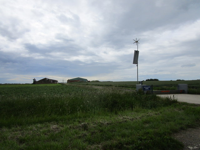
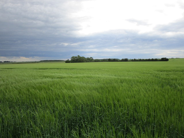
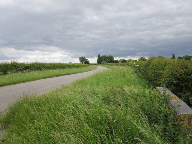
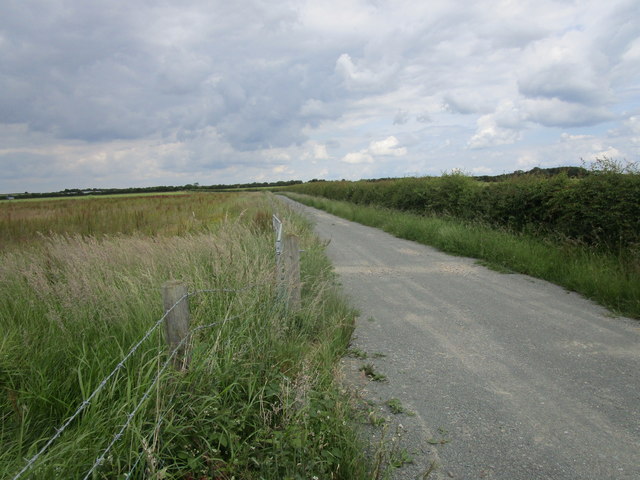
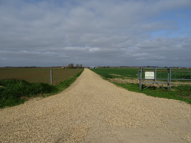
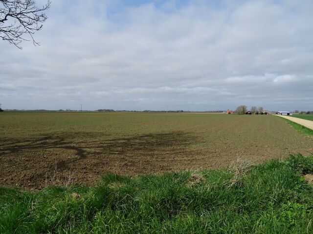
Burton Pedwardine is a small village located in the district of North Kesteven, Lincolnshire, England. Situated approximately 8 miles south of the market town of Sleaford, the village lies on the edge of the Lincolnshire Fens, surrounded by agricultural fields and open countryside.
With a population of just over 200 residents, Burton Pedwardine exudes a tranquil and close-knit community atmosphere. The village is characterized by its charming rural setting, featuring a mix of traditional stone cottages and modern houses.
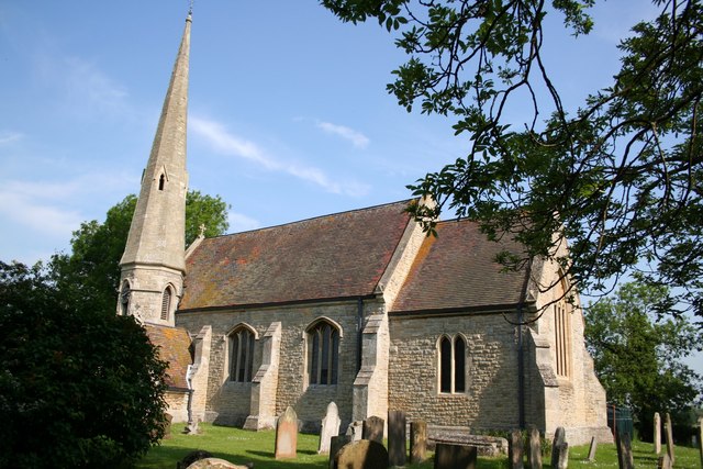
At the heart of Burton Pedwardine is the St. Andrew's Church, a grade II listed building dating back to the 12th century. The church's architectural beauty, including its striking tower and stained glass windows, attracts both residents and visitors alike.
Despite being a small village, Burton Pedwardine offers basic amenities to cater to the needs of its residents. These include a village hall, which hosts various community events and gatherings, a primary school, and a local pub where villagers can socialize and unwind.
Surrounded by picturesque countryside, Burton Pedwardine provides ample opportunities for outdoor activities such as walking, cycling, and birdwatching. The village is also conveniently located near the Sleaford Navigation, a canal system that offers scenic boat trips and fishing opportunities.
Overall, with its idyllic rural setting, historic church, and strong sense of community, Burton Pedwardine offers a peaceful and charming place to reside or visit in Lincolnshire.
If you have any feedback on the listing, please let us know in the comments section below.
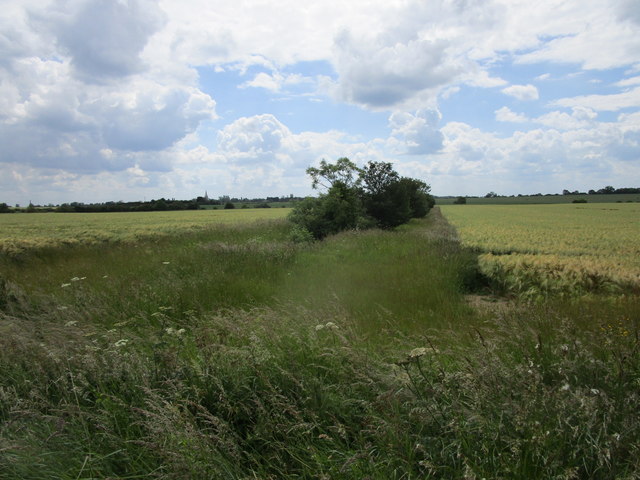
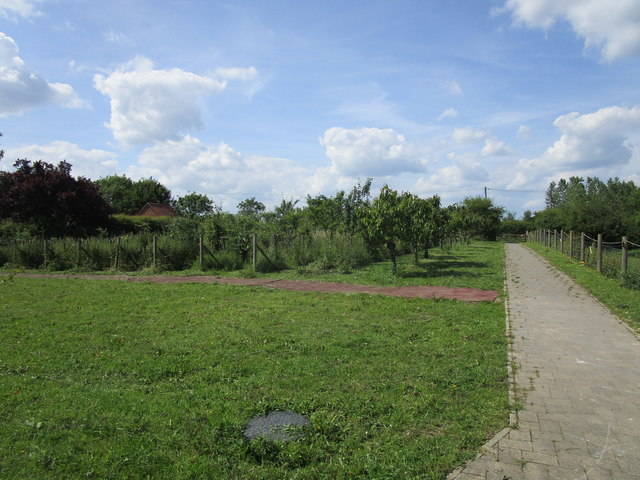
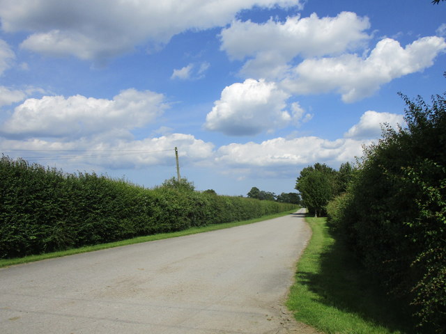
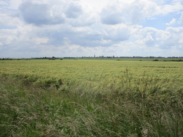
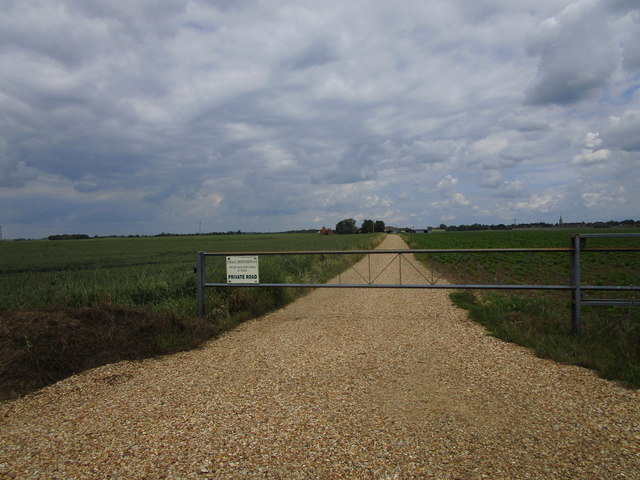
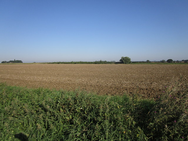
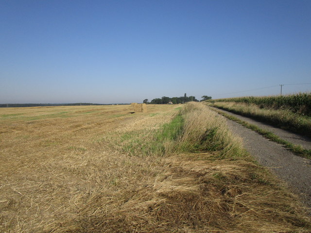
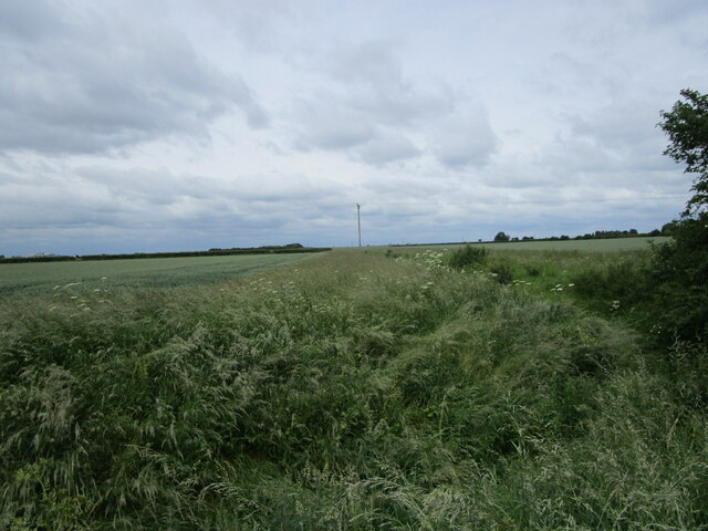
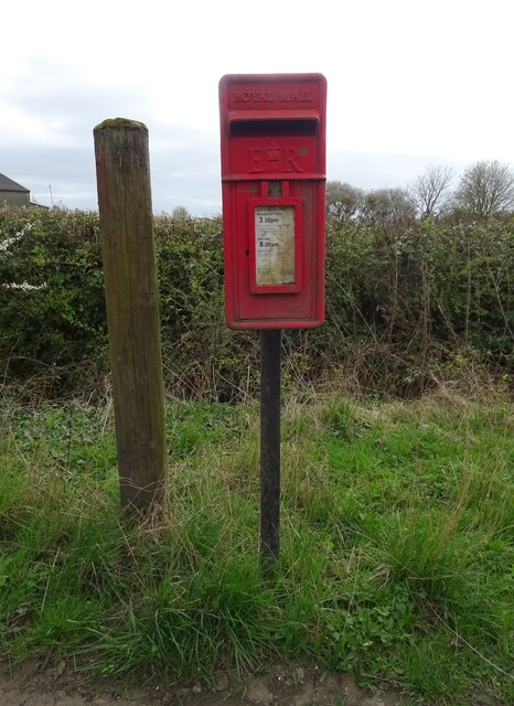
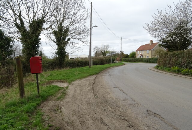
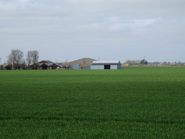
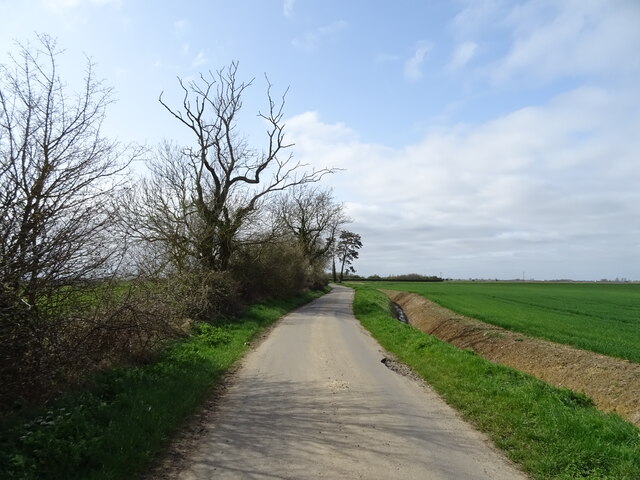
Burton Pedwardine Images
Images are sourced within 2km of 52.965241/-0.33764613 or Grid Reference TF1142. Thanks to Geograph Open Source API. All images are credited.
Burton Pedwardine is located at Grid Ref: TF1142 (Lat: 52.965241, Lng: -0.33764613)
Division: Parts of Kesteven
Administrative County: Lincolnshire
District: North Kesteven
Police Authority: Lincolnshire
What 3 Words
///relaxed.dispenser.matter. Near Heckington, Lincolnshire
Nearby Locations
Related Wikis

Burton Pedwardine
Burton Pedwardine is a hamlet and civil parish in the district of North Kesteven, Lincolnshire, England. The population at the 2011 census was 187. The...
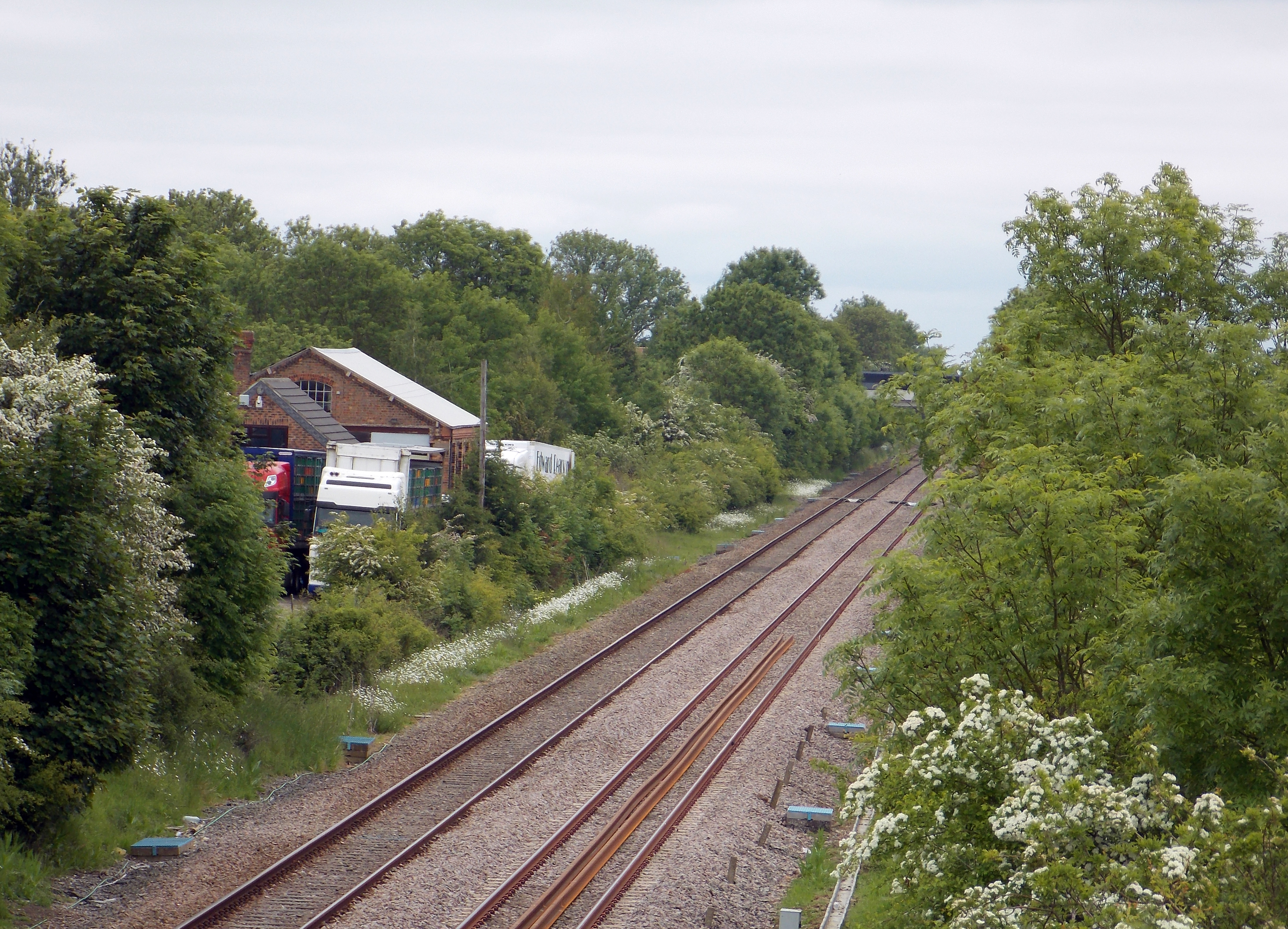
Helpringham railway station
Helpringham railway station was a station in Helpringham, Lincolnshire. The station was opened by the Great Northern and Great Eastern Joint Railway on...

Helpringham
Helpringham is a village and civil parish in the North Kesteven district of Lincolnshire, England. It lies on the edge of the Fens, and 5 miles (8 km)...

Little Hale
Little Hale is a hamlet and civil parish in the North Kesteven district of Lincolnshire, England. It is situated 5 miles (8 km) south-east from the town...
Scredington
Scredington is a village and civil parish in the North Kesteven district of Lincolnshire, England. The population of the civil parish at the 2011 census...

Heckington
Heckington is a village and civil parish in the North Kesteven district of Lincolnshire, England. It is situated between Sleaford and Swineshead Bridge...

Aswarby and Scredington railway station
Aswarby and Scredington railway station was a station close to Scredington, Lincolnshire on the Great Northern Railway Bourne and Sleaford railway. It...

Heckington Methodist Church
Heckington Methodist Church is in Heckington, Lincolnshire, England. == History == The first Wesleyan Methodist chapel in the village was built in 1809...
Nearby Amenities
Located within 500m of 52.965241,-0.33764613Have you been to Burton Pedwardine?
Leave your review of Burton Pedwardine below (or comments, questions and feedback).