Burnbrae
Settlement in Lanarkshire
Scotland
Burnbrae
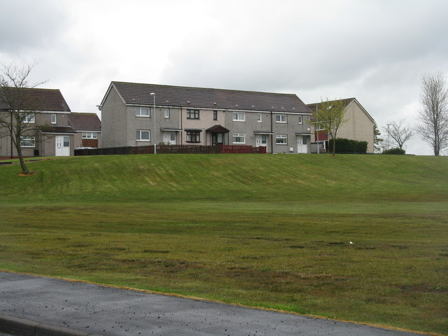
Burnbrae is a small village located in the Lanarkshire region of Scotland. Situated approximately 10 miles northwest of the town of Lanark, Burnbrae is nestled amidst the picturesque countryside, offering residents and visitors a tranquil and scenic environment.
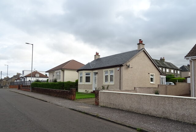
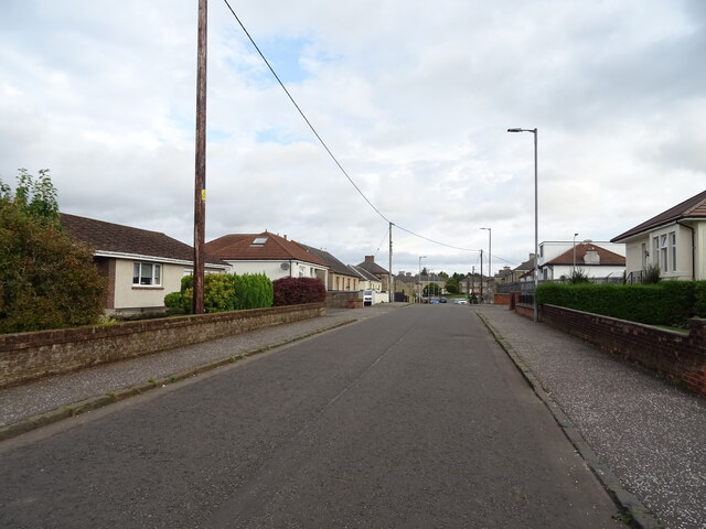
The village is characterized by its charming traditional stone cottages, which are interspersed with modern houses. The community in Burnbrae is close-knit and friendly, with a population of around 500 residents. The village is primarily residential, with a few small businesses catering to the local community's needs.
Although small in size, Burnbrae benefits from its proximity to larger towns and cities. The town of Lanark, with its range of amenities including shops, schools, and leisure facilities, is easily accessible. Additionally, Glasgow, Scotland's largest city, is approximately 30 miles away, offering a wider range of opportunities for employment, education, and entertainment.
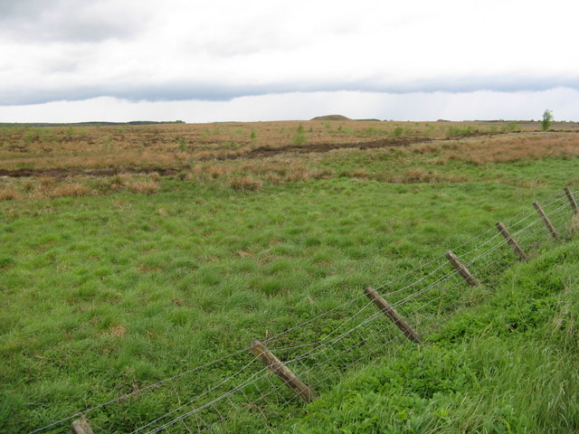
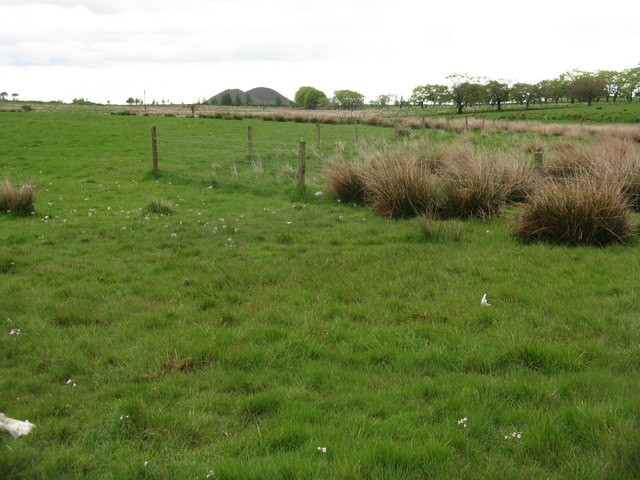
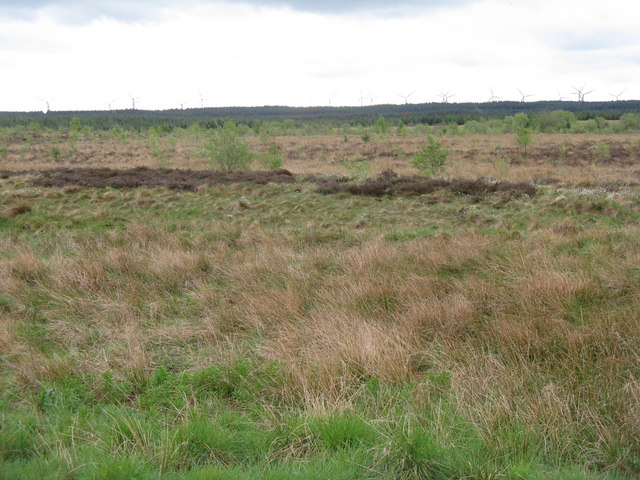
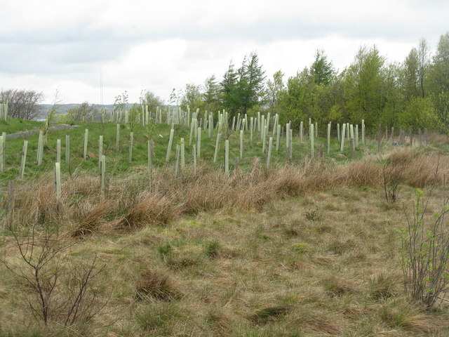
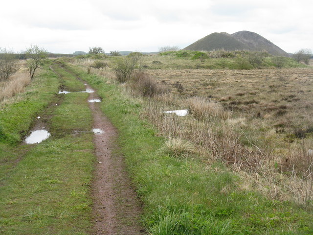
Nature enthusiasts and outdoor lovers will find plenty to explore in the surrounding area of Burnbrae. The village is surrounded by lush green fields and rolling hills, providing ample opportunities for walking, hiking, and cycling. The nearby Tinto Hill, a prominent landmark, is a popular destination for outdoor enthusiasts, offering stunning panoramic views from its summit.
In conclusion, Burnbrae is a charming and peaceful village in Lanarkshire, Scotland. With its friendly community, picturesque surroundings, and convenient location, it offers a desirable living environment for those seeking a quieter pace of life, while still having easy access to nearby towns and cities.
If you have any feedback on the listing, please let us know in the comments section below.
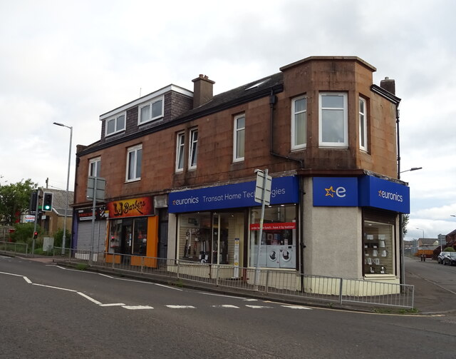
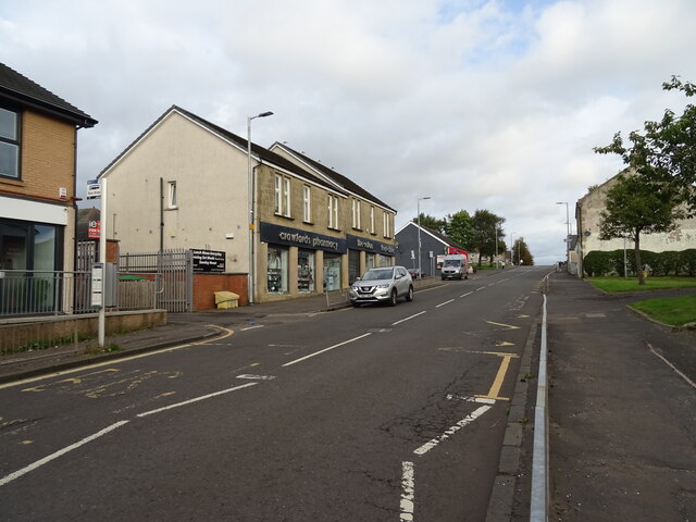
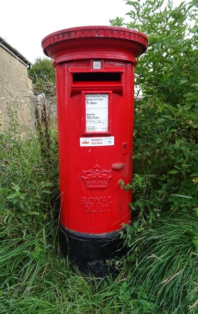
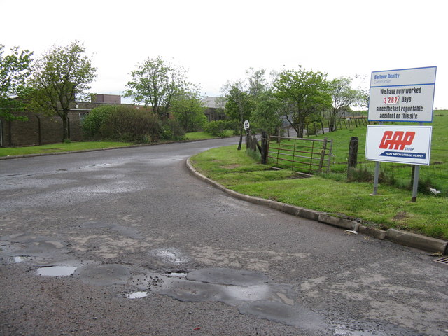
Burnbrae Images
Images are sourced within 2km of 55.812586/-3.7954541 or Grid Reference NS8759. Thanks to Geograph Open Source API. All images are credited.
Burnbrae is located at Grid Ref: NS8759 (Lat: 55.812586, Lng: -3.7954541)
Unitary Authority: North Lanarkshire
Police Authority: Lanarkshire
What 3 Words
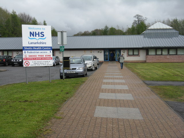
///housework.football.quaking. Near Shotts, North Lanarkshire
Nearby Locations
Related Wikis
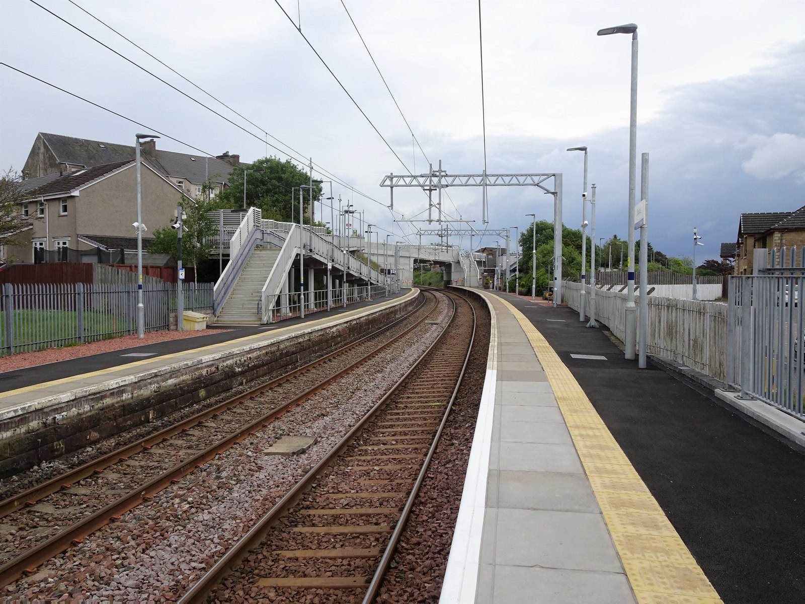
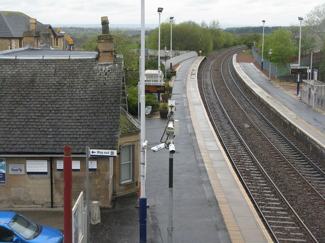
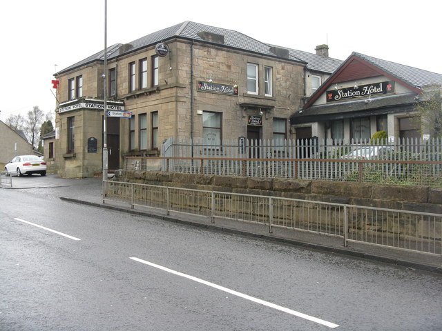
Shotts railway station
Shotts railway station is a railway station serving Shotts in North Lanarkshire, Scotland. It is located on the Shotts Line, 20½ miles (33 km) east of...

Henderson Theatre
The Henderson Theatre is a 147 seat studio theatre in Shotts in North Lanarkshire. It was built in April 1982 by converting part of the former Calderhead...
Parkside, Shotts
Parkside is a football ground in Shotts, Scotland. It was the home ground of Dykehead during their time in the Scottish Football League (SFL) between 1923...

Shotts
Shotts is a small town in North Lanarkshire, Scotland. It is located almost halfway between Glasgow (17 miles or 27 kilometres) and Edinburgh (26 miles...
Torbothie
Torbothie is a small area in the town of Shotts, North Lanarkshire. Shotts has an overall population of approximately 8,570. Torbothie has a mixture of...
Shotts Bon Accord F.C.
Shotts Bon Accord Football Academy are a Scottish football club based in the town of Shotts, North Lanarkshire. == History == Shotts Bon Accord were formed...
Blackhall railway station
Blackhall railway station served the town of Shotts, North Lanarkshire, Scotland, from 1864 to 1893 on the Wilsontown, Morningside and Coltness Railway...

Hartwood
Hartwood (Scots: Hertwid, Scottish Gaelic: Coille an Daimh) is a village in North Lanarkshire, Scotland. Nearby settlements include Shotts, Allanton and...
Nearby Amenities
Located within 500m of 55.812586,-3.7954541Have you been to Burnbrae?
Leave your review of Burnbrae below (or comments, questions and feedback).