Burmarsh
Settlement in Kent Shepway
England
Burmarsh
Burmarsh is a small village located in the county of Kent, in southeastern England. Situated on the Romney Marsh, it lies approximately 5 miles southwest of the town of Hythe and 14 miles southeast of Ashford. The village is part of the Folkestone and Hythe district.
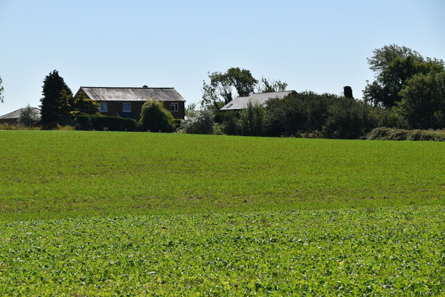
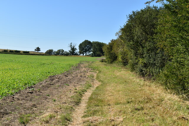
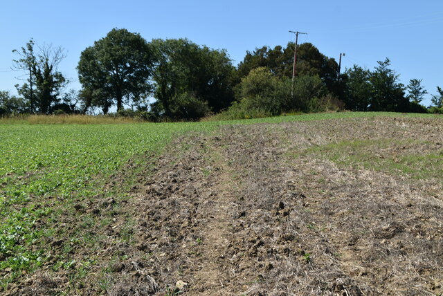
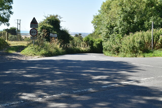
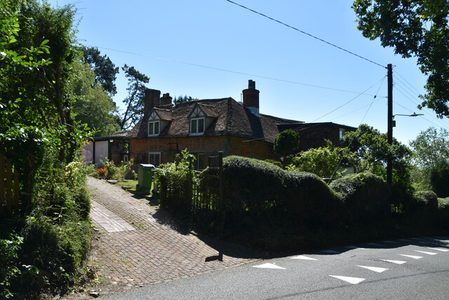
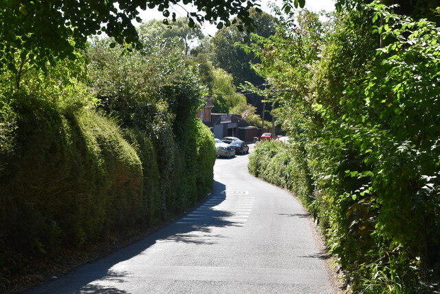
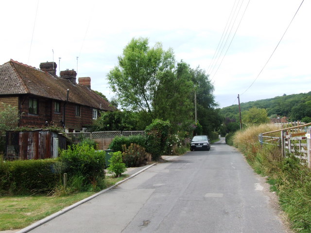
Burmarsh is known for its picturesque rural setting, nestled amidst the flat and fertile landscape of the marshes. The area is characterized by vast expanses of open fields, dotted with traditional Kentish farms and charming cottages. The village itself is home to a small population, with a close-knit community feel.
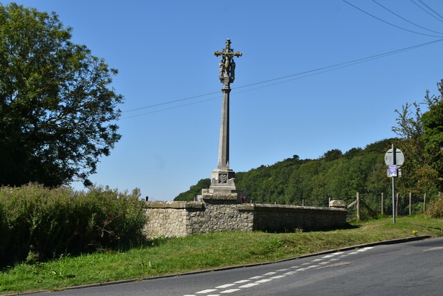
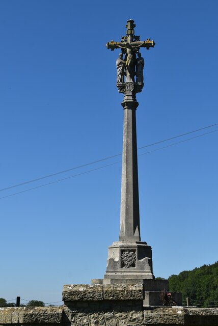
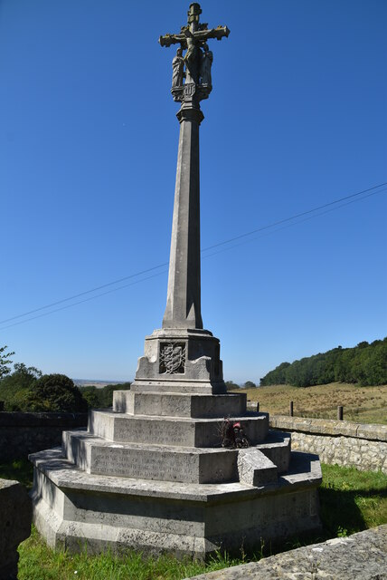
The village boasts a few notable landmarks, including the 12th-century St. Mary's Church, which stands as a testament to the area's rich history. The church features an ancient Norman doorway and a beautifully preserved interior. The nearby Royal Military Canal, constructed during the Napoleonic era, also provides a scenic spot for walks and cycling.
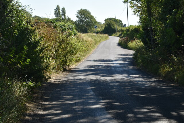
Burmarsh offers a peaceful and tranquil environment, attracting nature enthusiasts and those seeking a break from the hustle and bustle of city life. The surrounding marshlands provide a haven for a variety of bird species, making it an ideal destination for birdwatchers. Additionally, the area's flat terrain and quiet country roads make it popular for cycling and hiking.
While small in size, Burmarsh offers basic amenities such as a village hall, a primary school, and a local pub. For more extensive shopping and leisure facilities, residents often rely on nearby towns such as Hythe or Ashford.
Overall, Burmarsh is a charming village that offers a slice of rural Kentish life, with its idyllic setting and strong sense of community.
If you have any feedback on the listing, please let us know in the comments section below.
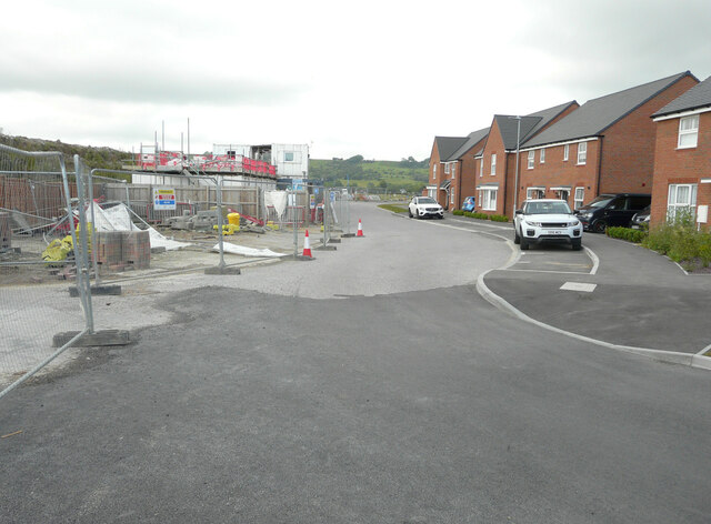
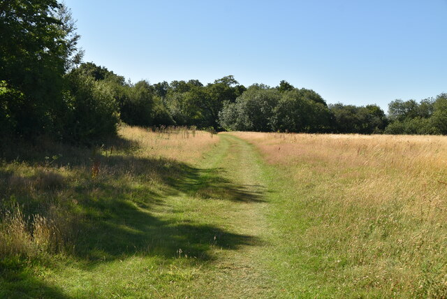
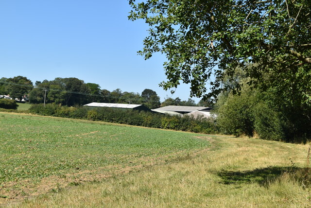
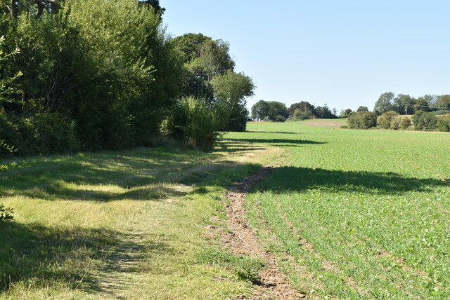
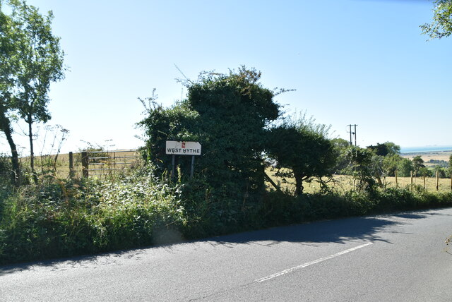
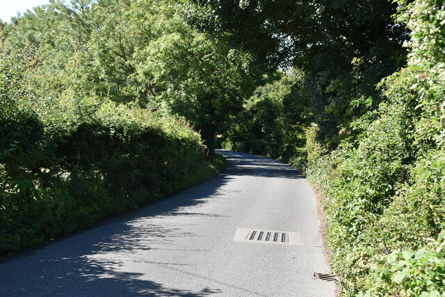
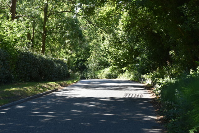
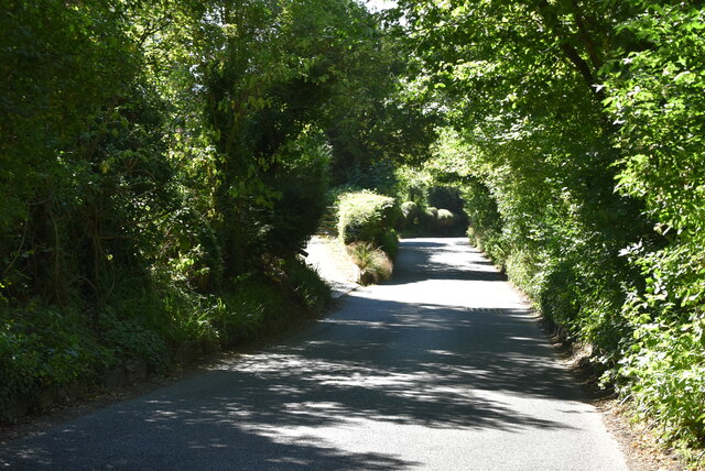
Burmarsh Images
Images are sourced within 2km of 51.064356/1.0478352 or Grid Reference TR1333. Thanks to Geograph Open Source API. All images are credited.
Burmarsh is located at Grid Ref: TR1333 (Lat: 51.064356, Lng: 1.0478352)
Administrative County: Kent
District: Shepway
Police Authority: Kent
What 3 Words
///tame.frail.exotic. Near Lympne, Kent
Related Wikis

Palmarsh
Palmarsh is a community (OS grid reference TR1333) in Folkestone and Hythe district, in the County of Kent, England. In origin it was a hamlet on the edge...

The Roughs
The Roughs are an escarpment of the North Downs above Romney Marsh in Kent, on the south coast of England. The term is generally applied to the section...
Prince of Wales Halt railway station
Prince of Wales Halt railway station was a short-lived station on the Romney, Hythe and Dymchurch Railway in Kent, England. About three quarters of a mile...
West Hythe
West Hythe is a hamlet and former civil parish, now in the parish of Hythe, in the Folkestone and Hythe district, in Kent, England, near Palmarsh and a...

Lympne Escarpment
Lympne Escarpment is a 140.2-hectare (346-acre) biological Site of Special Scientific Interest west of Hythe in Kent. Part of it is the remains of a Saxon...

Botolph's Bridge Halt railway station
Botolphs Bridge Halt railway station was a little-used station on the Romney, Hythe and Dymchurch Railway in Kent, England. Botolphs Bridge or Botolph...
Hythe Town F.C.
Hythe Town Football Club is a football club based in Hythe, Kent, England. They are currently members of the Isthmian League South East Division and play...

Pedlinge
Pedlinge is a hamlet on the edge of the village of Saltwood in Kent, England. It has its own church, though this is officially classified as a District...
Nearby Amenities
Located within 500m of 51.064356,1.0478352Have you been to Burmarsh?
Leave your review of Burmarsh below (or comments, questions and feedback).