Burg

Settlement in Argyllshire

Scotland

Burg

View over Loch Tuath
View over Loch Tuath Credit: Steven Brown

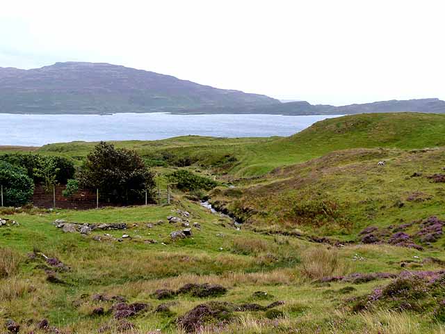
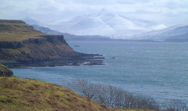
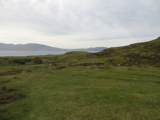
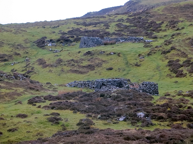
Burg, located in Argyllshire, Scotland, is a small village nestled on the western coast of the country. Situated on the banks of Loch Fyne, Burg offers picturesque views of the surrounding hills and the tranquil waters of the loch. The village is part of the larger community council area of Inveraray and is approximately 10 miles northeast of the town of Inveraray.

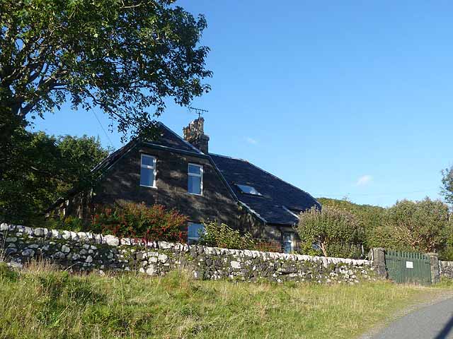
With a population of around 200 residents, Burg maintains a close-knit community atmosphere. The village is primarily residential, with a scattering of traditional stone cottages and houses that add to its charm. The local economy revolves around fishing and agriculture, with some residents working in nearby towns and villages.

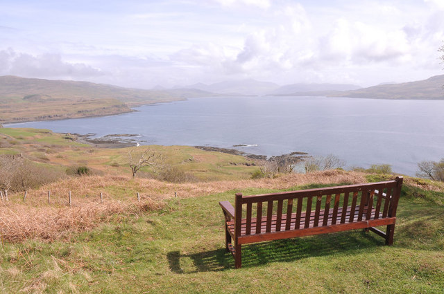
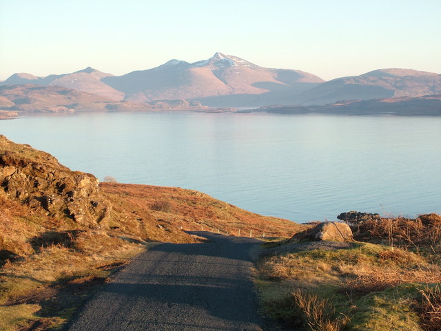
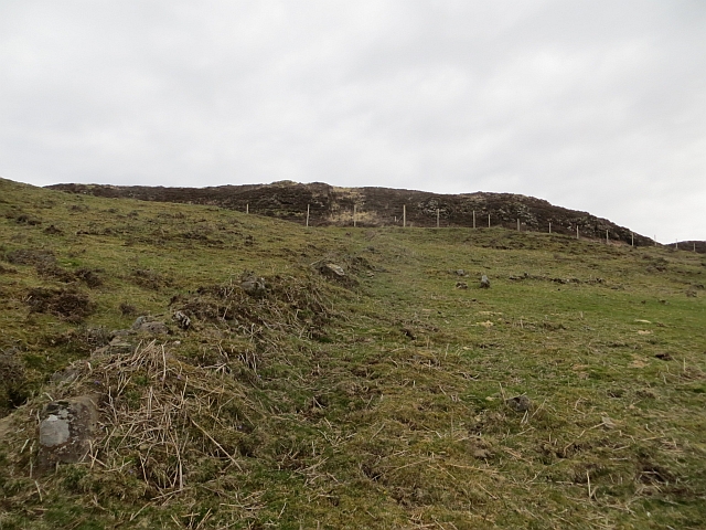
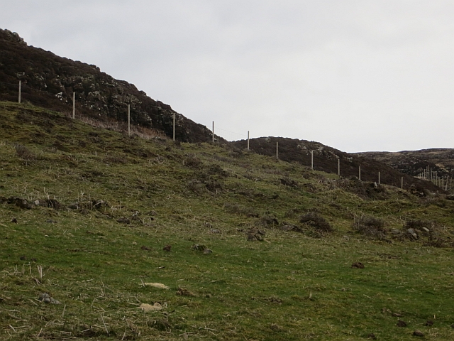
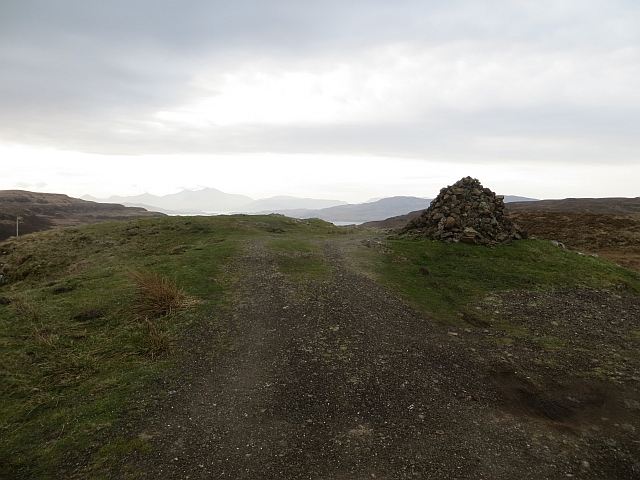
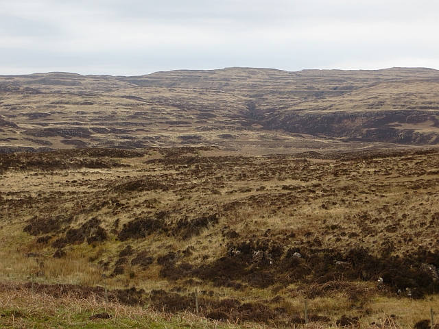
Burg is a haven for outdoor enthusiasts, offering a range of activities to enjoy. Loch Fyne provides ample opportunities for fishing and boating, while the surrounding hills and forests offer scenic trails for walking and hiking. The village is also a popular spot for birdwatching, with a variety of species, including ospreys and golden eagles, frequenting the area.

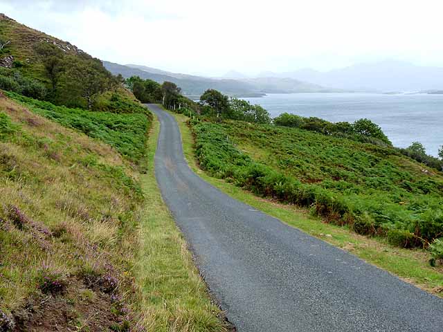
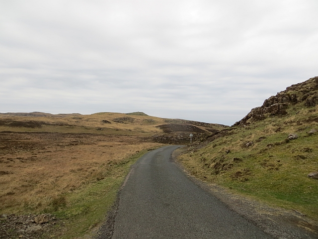
Although relatively secluded, Burg benefits from its proximity to Inveraray, where residents can access a wider range of amenities, including shops, schools, and healthcare facilities. The village is well-connected by road, making it easily accessible for both residents and visitors.

Overall, Burg is a peaceful and idyllic village, offering a serene setting for those seeking a slower pace of life amidst the natural beauty of the Scottish countryside.

If you have any feedback on the listing, please let us know in the comments section below.
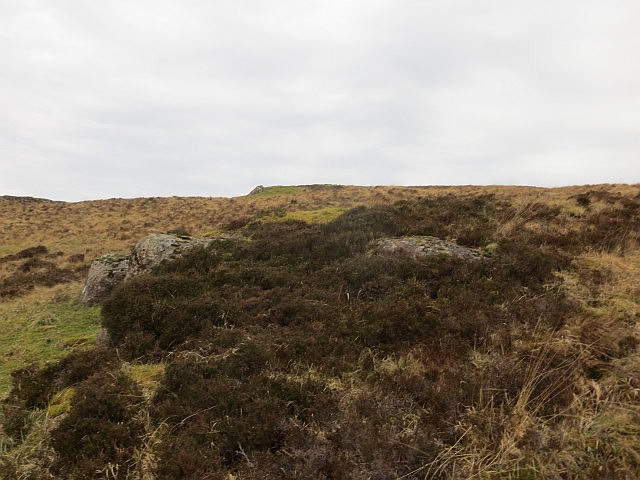
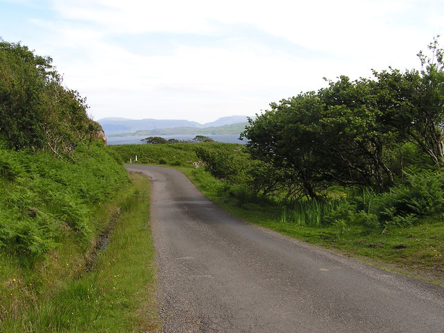
Burg Images

Images are sourced within 2km of 56.530785/-6.2616844 or Grid Reference NM3845. Thanks to Geograph Open Source API. All images are credited.

View over Loch Tuath
Allt Burg Looking down the valley of the Allt Burg towards Loch Tuath. On the far side lie the islands of Ulva (to the left) and Gometra. It is just possible to make out the entrance to the narrow channel between the two.
Allt Burg
Looking down the valley of the Allt Burg towards Loch Tuath. On the far side lie the islands of Ulva (to the left) and Gometra. It is just possible to make out the entrance to the narrow channel between the two.
Cairn by the B8073 This cairn marks the highest point of the B8073 road as it crosses the neck of the peninsula separating Calgary Bay and Loch Tuath. Out to sea can be seen Eilean Dioghlum <a href="https://www.geograph.org.uk/gridref/NM3442">NM3442</a> with Staffa <a href="https://www.geograph.org.uk/gridref/NM3235">NM3235</a> beyond.
Cairn by the B8073
This cairn marks the highest point of the B8073 road as it crosses the neck of the peninsula separating Calgary Bay and Loch Tuath. Out to sea can be seen Eilean Dioghlum NM3442 with Staffa NM3235 beyond.
Coast road approaching Tostary The B8073 coast road round the north-west corner of Mull drops steeply down towards Loch Tuath. Ben More <a href="https://www.geograph.org.uk/gridref/NM5233">NM5233</a>, the highest point on Mull, can be seen dimly in the distance.
Coast road approaching Tostary
The B8073 coast road round the north-west corner of Mull drops steeply down towards Loch Tuath. Ben More NM5233, the highest point on Mull, can be seen dimly in the distance.
Kilninian Schoolhouse At one time there were small primary schools scattered all over the island. Most have now closed and been converted to other uses, such as this one which is now a self-catering holiday cottage.
Kilninian Schoolhouse
At one time there were small primary schools scattered all over the island. Most have now closed and been converted to other uses, such as this one which is now a self-catering holiday cottage.
Kilninian kirk Dates from 1755
Kilninian kirk
Dates from 1755
Loch Tuath and Ben More. The road from Calgary Bay to Kilninian overlooking Loch Tuath, the Sound of Ulva and Ben More in the distance.
Loch Tuath and Ben More.
The road from Calgary Bay to Kilninian overlooking Loch Tuath, the Sound of Ulva and Ben More in the distance.
Kilninian church Modest little church on a historic site with grave slabs of the medieval period.
Kilninian church
Modest little church on a historic site with grave slabs of the medieval period.
Coastline at Kilninian Looking eastwards along the shores of Loch Tuath towards snow covered Ben More.
Coastline at Kilninian
Looking eastwards along the shores of Loch Tuath towards snow covered Ben More.
Burg As well as currently inhabited buildings, there are numerous ruins here.
Burg
As well as currently inhabited buildings, there are numerous ruins here.
Old boundary, Burg There are many ruins and old dykes at Burg. Beyond this field is a vast expanse of wild moorland.
Old boundary, Burg
There are many ruins and old dykes at Burg. Beyond this field is a vast expanse of wild moorland.
Field, Burg Improved grazing amongst much moorland.
Field, Burg
Improved grazing amongst much moorland.
Ruins, Burg Some of the numerous ruins on a fertile area of hillside.
Ruins, Burg
Some of the numerous ruins on a fertile area of hillside.
Cairn above Burg Top of the pass over Treshnish - view towards Ben More.
Cairn above Burg
Top of the pass over Treshnish - view towards Ben More.
Pass, Treshnish Highest point of the road over Treshnish between Kilninian and Calgary.
Pass, Treshnish
Highest point of the road over Treshnish between Kilninian and Calgary.
Moorland, Ensay Burn Trap landscape, Treshnish. Maps suggest that some tree planting has taken place here, but I could see no sign of it.
An older view: <a href="https://www.geograph.org.uk/photo/2072505">NM3747 : Moorland by the road to Calgary</a>
Moorland, Ensay Burn
Trap landscape, Treshnish. Maps suggest that some tree planting has taken place here, but I could see no sign of it. An older view: NM3747 : Moorland by the road to Calgary
Moorland, Treshnish Above the Kilninian to Calgary road. It took a short rough climb to get into the grid square.
Moorland, Treshnish
Above the Kilninian to Calgary road. It took a short rough climb to get into the grid square.
B8073 at Kilninian
B8073 at Kilninian
Show me another place!

Burg is located at Grid Ref: NM3845 (Lat: 56.530785, Lng: -6.2616844)

Unitary Authority: Argyll and Bute

Police Authority: Argyll and West Dunbartonshire

What 3 Words

///earplugs.twit.modest. Near Calgary, Argyll & Bute

Related Wikis

Torloisk House

Torloisk House (sometimes referred to as Torluck House in 19th century references) on the Isle of Mull, Argyll in Scotland was the family seat held by...

Achleck

Achleck is a small settlement in the north-west of the Isle of Mull in Argyll and Bute, Scotland. == References ==

Gometra

Gometra (Scottish Gaelic: Gòmastra) is an island in the Inner Hebrides of Scotland, lying west of Mull. It lies immediately west of Ulva, to which it is...

Loch Tuath

Loch Tuath (Scottish Gaelic: Loch-a-Tuath) is a sea loch in the Inner Hebrides, Scotland that separates the Isle of Mull and the island of Ulva. Loch Tuath...

Calgary Castle

Calgary Castle, also known as Calgary House, is a 19th-century castellated Gothic mansion at Calgary on the Isle of Mull, Scotland. The mansion faces Calgary...

Eas Fors

Eas Fors is a waterfall on the island of Mull in Scotland. It is situated on the Ardow Burn south of Dervaig. There is another Eas Fors on the Allt an...

Calgary, Mull

Calgary is a hamlet on the northwest coast of the Isle of Mull, in Argyll and Bute, Scotland, United Kingdom. The hamlet is within the parish of Kilninian...

Ulva

Ulva (; Scottish Gaelic: Ulbha) is a small island in the Inner Hebrides of Scotland, off the west coast of Mull. It is separated from Mull by a narrow...

Nearby Amenities

Located within 500m of 56.530785,-6.2616844
Burg
Place: hamlet
Lat/Long: 56.5310779/-6.2641186
Passing Place
Lat/Long: 56.5313105/-6.2626018
Power: pole
Lat/Long: 56.5343816/-6.2662129
Power: pole
Lat/Long: 56.5339066/-6.2656359
Power: pole
Lat/Long: 56.5334281/-6.2650238
Power: pole
Lat/Long: 56.5329758/-6.264455
Power: pole
Lat/Long: 56.5324599/-6.2638161
Power: pole
Lat/Long: 56.5319143/-6.2631175
Power: pole
Lat/Long: 56.5315836/-6.2619614
Power: pole
Lat/Long: 56.5310711/-6.2611309
Power: pole
Lat/Long: 56.5305221/-6.2602653
Power: pole
Lat/Long: 56.5299823/-6.2593998
Power: pole
Lat/Long: 56.5296163/-6.2581736
Power: pole
Lat/Long: 56.5296163/-6.2568588
Power: pole
Lat/Long: 56.5296163/-6.255884
Power: pole
Lat/Long: 56.5296254/-6.2548721
Ford: yes
Lat/Long: 56.5306212/-6.2636127
Passing Place
Lat/Long: 56.5301602/-6.2604799
The data included in this document is from www.openstreetmap.org. The data is made available under ODbL.

Have you been to Burg?

Leave your review of Burg below (or comments, questions and feedback).