Bryngwyn

Settlement in Montgomeryshire

Wales

Bryngwyn

Ordnance Survey Cut Mark This OS cut mark can be found on the south face of Christ Church. It marks a point 153.374m above mean sea level.
Ordnance Survey Cut Mark Credit: Adrian Dust

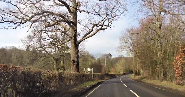
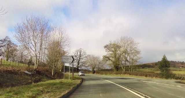
Bryngwyn is a small village located in the county of Montgomeryshire, Wales. Situated in the scenic countryside, the village is nestled between rolling hills and picturesque farmland. It is situated approximately 5 miles northeast of the town of Montgomery.

The village of Bryngwyn is known for its peaceful and tranquil atmosphere, making it an ideal location for those seeking a quiet and rural lifestyle. The community mainly consists of a close-knit group of residents who take pride in the village's natural beauty and heritage.

Bryngwyn is home to a number of historic buildings and landmarks that showcase its rich history. One notable landmark is the St. Mary's Church, a beautiful medieval church dating back to the 13th century. The church is a prominent feature of the village and adds to its charm.

Although a small village, Bryngwyn has a strong sense of community and offers a range of amenities for its residents. These include a local pub, a village hall, and a primary school, providing essential services and opportunities for social gatherings.

The surrounding countryside of Bryngwyn offers plenty of opportunities for outdoor activities such as hiking, cycling, and horseback riding. The village is also within close proximity to the stunning beauty of the Montgomeryshire countryside, with its rolling green hills, rivers, and woodlands.

Overall, Bryngwyn is a peaceful and idyllic village, perfect for those seeking a rural lifestyle surrounded by natural beauty and a strong sense of community.

If you have any feedback on the listing, please let us know in the comments section below.
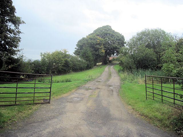
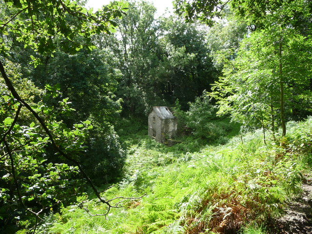
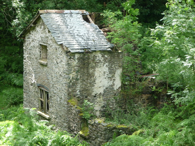
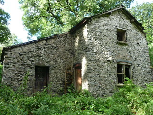
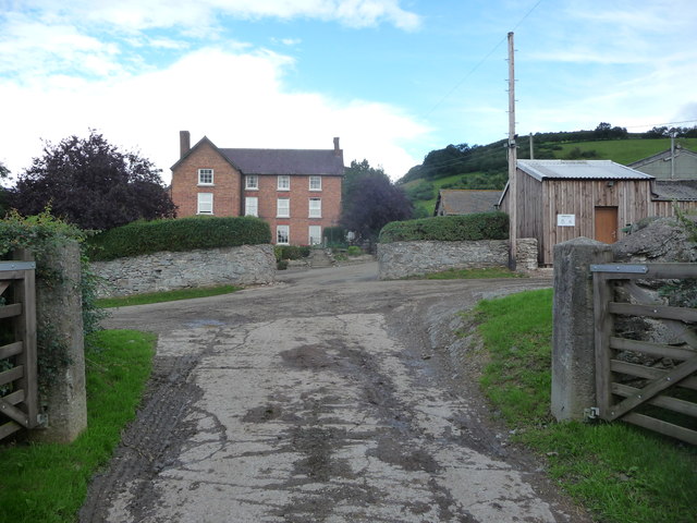
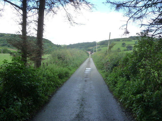
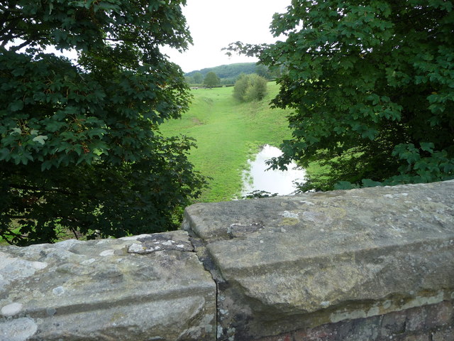
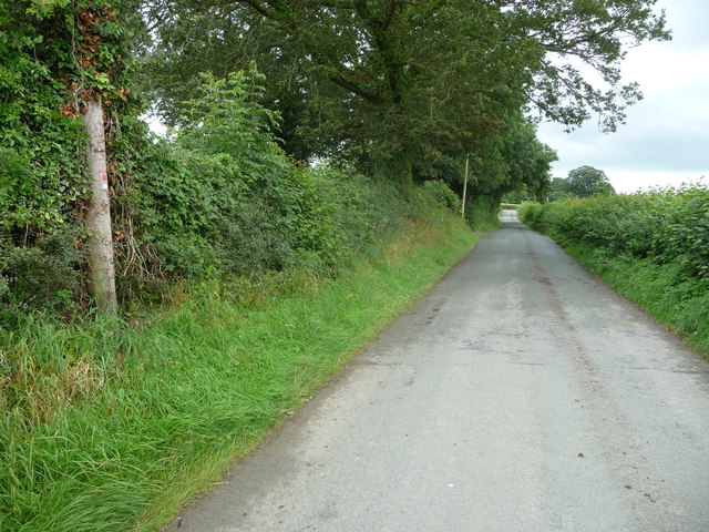
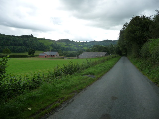
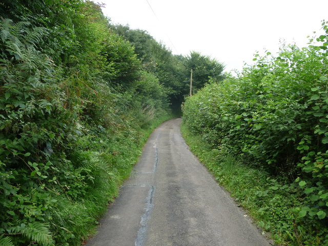
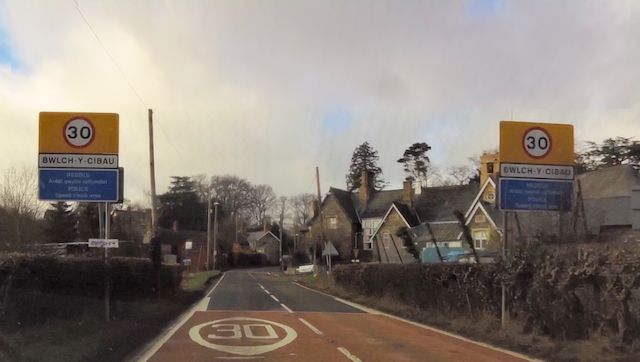
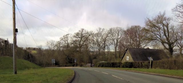
Bryngwyn Images

Images are sourced within 2km of 52.753334/-3.2266063 or Grid Reference SJ1718. Thanks to Geograph Open Source API. All images are credited.

Ordnance Survey Cut Mark This OS cut mark can be found on the south face of Christ Church. It marks a point 153.374m above mean sea level.
Ordnance Survey Cut Mark
This OS cut mark can be found on the south face of Christ Church. It marks a point 153.374m above mean sea level.
Ordnance Survey Cut Mark This OS cut mark can be found on the outbuilding at The Stumble Inn. It marks a point 152.038m above mean sea level.
Ordnance Survey Cut Mark
This OS cut mark can be found on the outbuilding at The Stumble Inn. It marks a point 152.038m above mean sea level.
Parting of the ways Fork junction close to Talwrn
Parting of the ways
Fork junction close to Talwrn
Minor road close to Pen-y-Parc
Entrance to Pen-y-Parc
Ruined cottage in wooded cwm below Domen-gastell Hill A sad old ruin, once a cottage home in a sheltered and secluded cwm now the haunt of elusive Jays and solo walkers.
Ruined cottage in wooded cwm below Domen-gastell Hill
A sad old ruin, once a cottage home in a sheltered and secluded cwm now the haunt of elusive Jays and solo walkers.
Cottage ruin below Domen-gastell Hill In an almost total state of ruin and decrepitude.
Cottage ruin below Domen-gastell Hill
In an almost total state of ruin and decrepitude.
Frontage of ruined cottage below Domen-gastell Hill The most recent extended portion of this cottage is the last to stand against the elements, gravity and nature. In a dangerous state.
Frontage of ruined cottage below Domen-gastell Hill
The most recent extended portion of this cottage is the last to stand against the elements, gravity and nature. In a dangerous state.
Green Hall farm near Llanfyllin Large dairy operation here, with farm house to match.
Green Hall farm near Llanfyllin
Large dairy operation here, with farm house to match.
Part of the long straight drive to Green Hall farm, Llanfyllin An epic length of drive or access lane.
Part of the long straight drive to Green Hall farm, Llanfyllin
An epic length of drive or access lane.
Course of dismantled railway across fields Green Hall farm Long vanished railway trackbed below, now grazed by cattle.
Course of dismantled railway across fields Green Hall farm
Long vanished railway trackbed below, now grazed by cattle.
Lane  near Allt y Gader near Llanfyllin A nondescript rural lane.

It contained the odd bit of roadkill of various size and species from snails and frogs to badger.
Lane near Allt y Gader near Llanfyllin
A nondescript rural lane. It contained the odd bit of roadkill of various size and species from snails and frogs to badger.
Incomplete new build opposite Tan-y-geulan No construction work has been going on here for some time.
Incomplete new build opposite Tan-y-geulan
No construction work has been going on here for some time.
Curve in the lane near Rhysgog A narrow upland lane.
Curve in the lane near Rhysgog
A narrow upland lane.
Entering Bwlch-y-Cibau
Leaving Bwlch-y-Cibau on A490
Start of footpath west of Bwlch-y-Cibau
Road junction at Stonehouse
Show me another place!

Bryngwyn is located at Grid Ref: SJ1718 (Lat: 52.753334, Lng: -3.2266063)

Unitary Authority: Powys

Police Authority: Dyfed Powys

Also known as: Glan-Frogan Hill

What 3 Words

///vessel.walks.snows. Near Llanfechain, Powys

Nearby Locations

Glan-Frogan Hill Bryngwyn

Related Wikis

Bryngwyn Halt railway station

Bryngwyn Halt railway station is a disused station that was on the Llanfyllin Branch of the Cambrian Railways. It served the villages of Bwlch-y-cibau...

Bwlch-y-cibau

Bwlch-y-Cibau also known as the "pass of the husks" in English, is a small village located between Llanfyllin and Welshpool. It is situated on the A490...
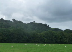
Lonely Tree

The Lonely Tree was a Scots pine on a hill near Llanfyllin, Powys, Wales. Visible from much of the town it was a local landmark with several traditions...

Llanfechain

Llanfechain is a village and community in Powys, Wales, on the B4393 road between Llanfyllin and Llansantffraid-ym-Mechain. Historically it belonged to...

Nearby Amenities

Located within 500m of 52.753334,-3.2266063
Building: yes
Lat/Long: 52.7559762/-3.2323077
Place: farm
Lat/Long: 52.7557424/-3.2262352
Power: pole
Lat/Long: 52.7564088/-3.2314289
Barrier: cattle_grid
Lat/Long: 52.7532043/-3.2269822
The data included in this document is from www.openstreetmap.org. The data is made available under ODbL.

Have you been to Bryngwyn?

Leave your review of Bryngwyn below (or comments, questions and feedback).