Bruntland
Settlement in Morayshire
Scotland
Bruntland
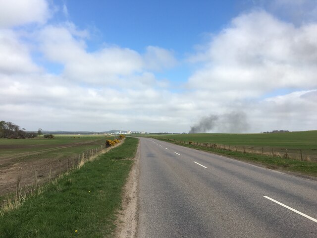
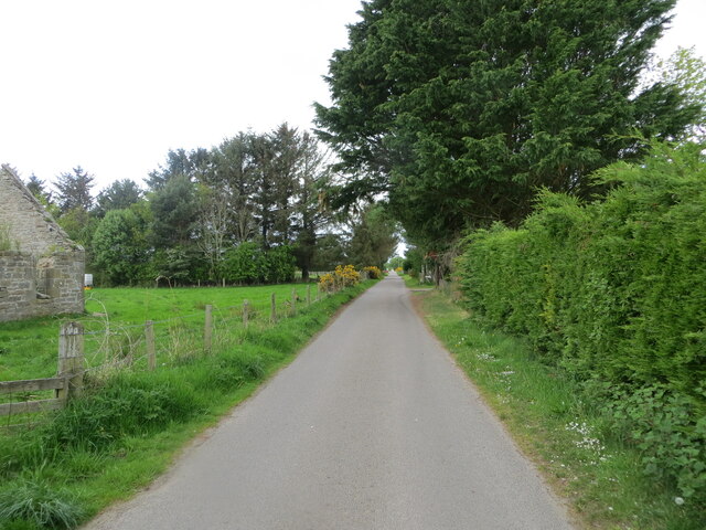
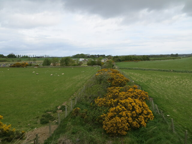
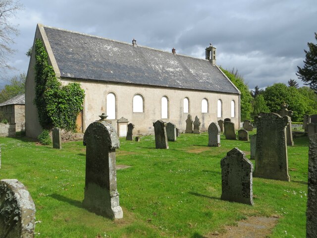
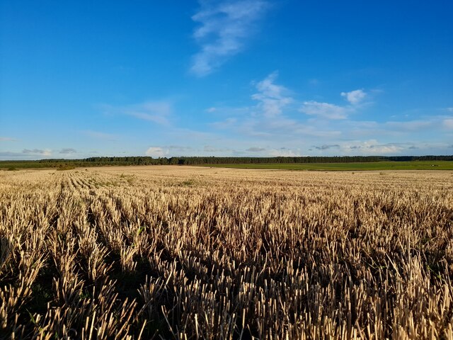
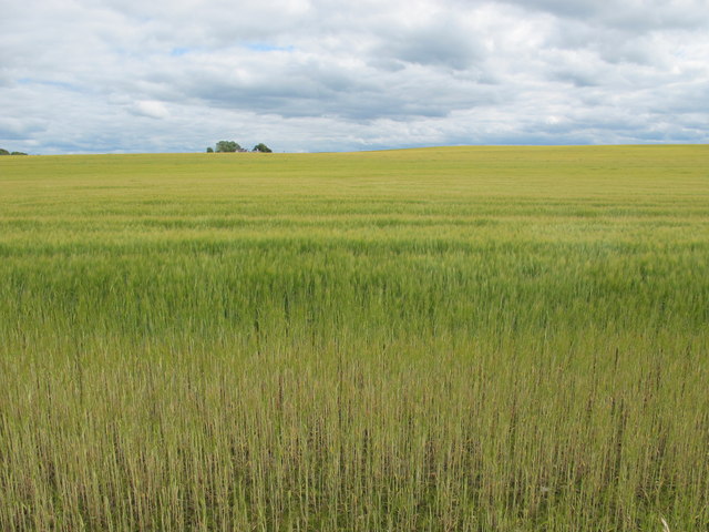
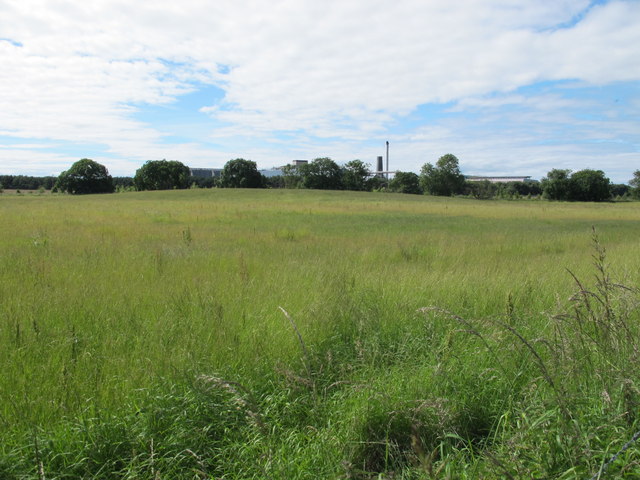
Bruntland is a small village located in the county of Morayshire, Scotland. Situated approximately 6 miles southeast of Elgin, it is nestled in the picturesque Spey Valley, surrounded by lush green fields and rolling hills. Bruntland is home to a close-knit community of around 200 residents.
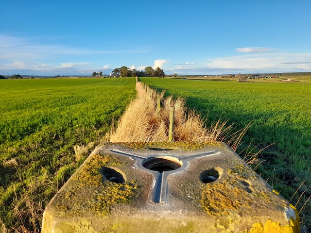
The village is known for its peaceful and idyllic setting, making it a popular destination for nature enthusiasts and those seeking a tranquil retreat. The area boasts stunning views of the nearby Cairngorm Mountains, which provide a striking backdrop to the village scenery.
Bruntland offers a range of amenities to cater to its residents' needs. These include a local primary school, a village hall, and a small convenience store. The village also has a strong sense of community spirit, with various local events and activities taking place throughout the year, such as summer fairs and festive celebrations.
For outdoor enthusiasts, Bruntland is a haven for walking, cycling, and wildlife spotting. The surrounding countryside offers numerous walking trails and nature reserves, allowing visitors to explore the area's diverse flora and fauna. Additionally, the nearby River Spey provides opportunities for fishing and water-based activities.
In terms of transportation, Bruntland is well-connected to the wider region. It is located just off the A941 road, which links the village to Elgin and other nearby towns. The village also benefits from a regular bus service, providing easy access to surrounding areas.
Overall, Bruntland offers a peaceful and scenic place to live or visit, with a strong sense of community and an abundance of natural beauty to explore.
If you have any feedback on the listing, please let us know in the comments section below.
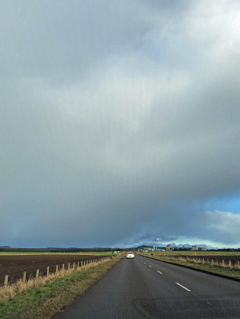
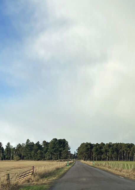
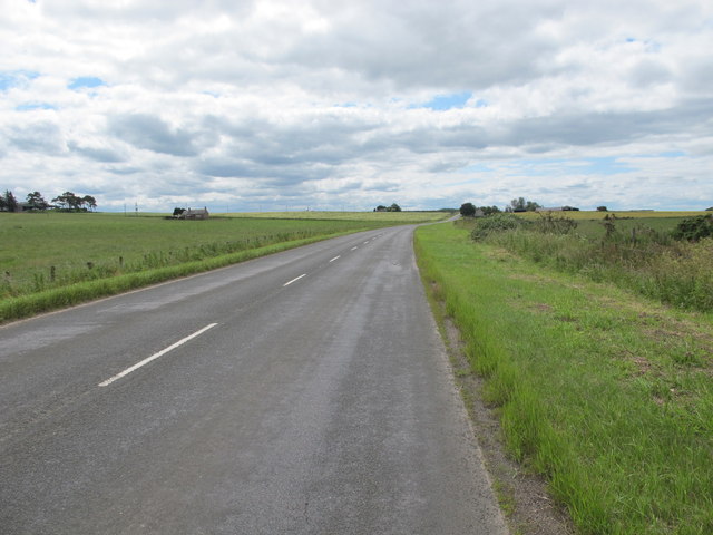
Bruntland Images
Images are sourced within 2km of 57.662031/-3.4645357 or Grid Reference NJ1264. Thanks to Geograph Open Source API. All images are credited.
Bruntland is located at Grid Ref: NJ1264 (Lat: 57.662031, Lng: -3.4645357)
Unitary Authority: Moray
Police Authority: North East
What 3 Words
///routines.lamplight.crossing. Near Burghead, Moray
Nearby Locations
Related Wikis
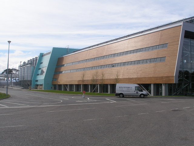
Roseisle distillery
Roseisle distillery is a Speyside single malt Scotch whisky distillery, in Roseisle, near Elgin, Morayshire, in the Strathspey region of Scotland. ��2...

Inchkeil
Inchkeil is a hamlet in the parish of Duffus, near Elgin, Moray, in the Strathspey region of Scotland. == History == A charter was given to William, son...
Hempriggs Castle
Hempriggs Castle was a 15th-century castle, about 5.0 miles (8 km) north-east of Forres, Moray, Scotland, and about 3.5 miles (6 km) south of Burghead...
Alves, Moray
Alves (Scottish Gaelic: An Àbhais or An Àbhas) is a small agricultural village in Moray, Scotland. == Geography == The A96 runs east to west across Alves...
Nearby Amenities
Located within 500m of 57.662031,-3.4645357Have you been to Bruntland?
Leave your review of Bruntland below (or comments, questions and feedback).