Broadmuir

Settlement in Aberdeenshire

Scotland

Broadmuir

Minor road near Netherbrae
Minor road near Netherbrae Credit: Steven Brown

Located in the northeastern part of Scotland, Broadmuir is a small village situated in the county of Aberdeenshire. With a population of around 500 residents, it is nestled amidst picturesque countryside, offering stunning views of the surrounding hills and farmland.

Broadmuir is primarily an agricultural community, with farming playing a crucial role in its economy. The fertile soil and favorable climate make it an ideal location for cultivating crops such as barley and oats. Livestock farming, including sheep and cattle rearing, is also prevalent in the area.

The village itself is characterized by its charming traditional houses, built with locally sourced materials like granite. It features a close-knit community, where residents often engage in social activities and events such as the annual village fete, which brings people together to celebrate the local culture and heritage.

Although small, Broadmuir boasts a few amenities to cater to its residents' needs. These include a general store, a primary school, and a community center, which serves as a hub for various recreational activities and gatherings.

Nature lovers and outdoor enthusiasts are drawn to Broadmuir's scenic surroundings, which offer ample opportunities for hiking, cycling, and exploring the nearby natural attractions. The village is also within close proximity to Aberdeenshire's stunning coastline, providing easy access to beautiful sandy beaches and coastal walks.

Overall, Broadmuir offers a tranquil and idyllic setting for those seeking a peaceful rural lifestyle, while still providing easy access to essential amenities and the natural beauty of the surrounding area.

If you have any feedback on the listing, please let us know in the comments section below.
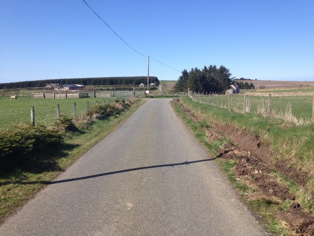
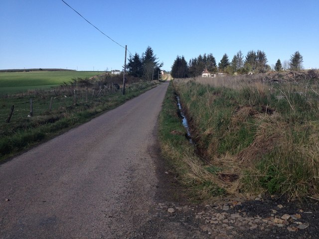
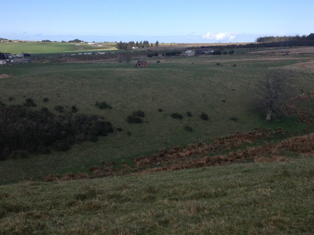
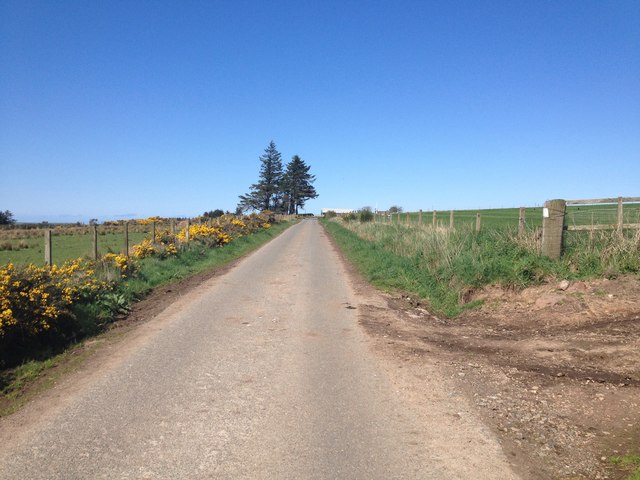
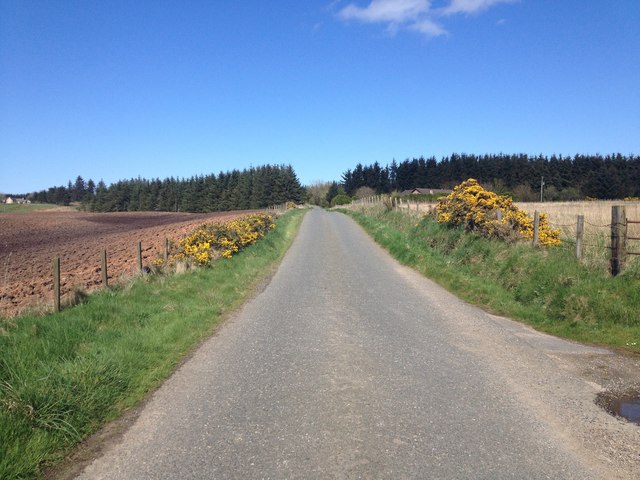
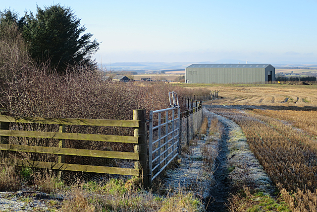
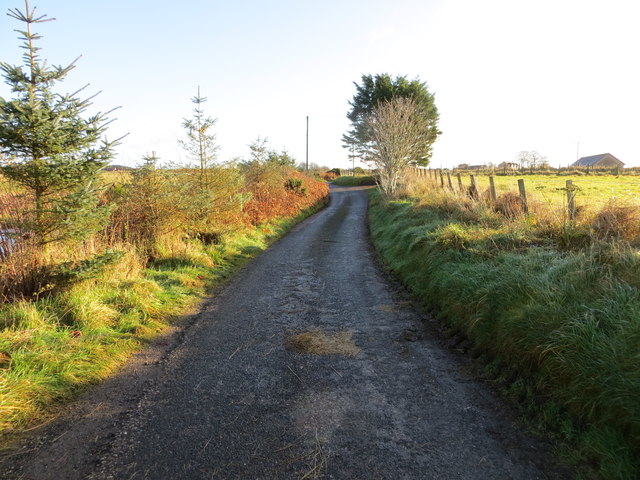
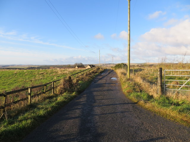
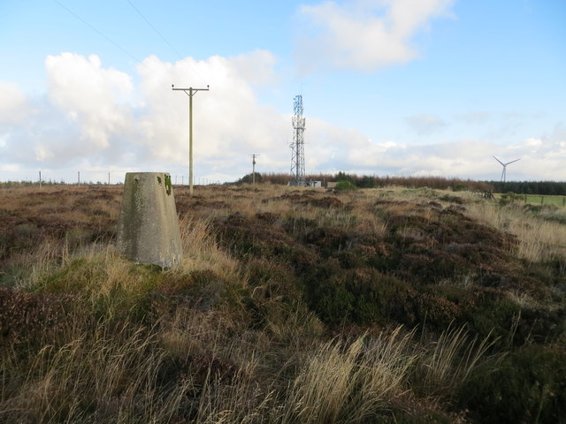
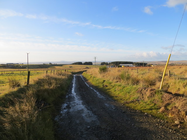
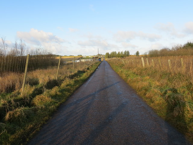
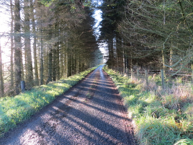
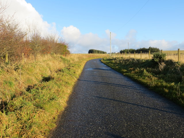
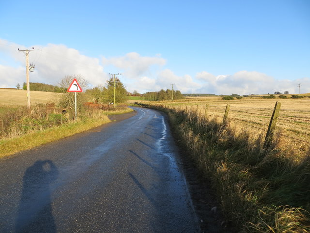
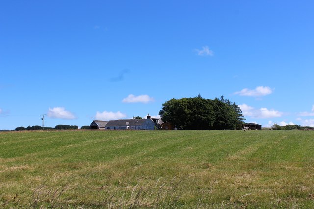
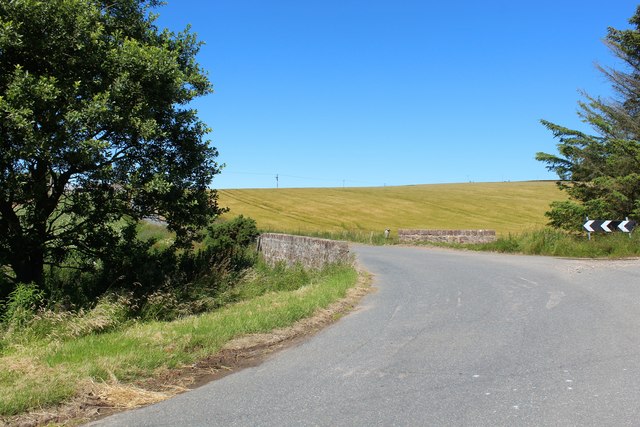
Broadmuir Images

Images are sourced within 2km of 57.611466/-2.309979 or Grid Reference NJ8157. Thanks to Geograph Open Source API. All images are credited.

Minor road near Netherbrae
Minor road at Broadmuir
Farmland near Broadmuir
Minor road near Upper Cook
New Hedging A new hedge is beginning to thrive at the edge of a field at Overbrae.
New Hedging
A new hedge is beginning to thrive at the edge of a field at Overbrae.
Minor road near to a dwelling named Kisumu Looking south-eastward. There is a city in Western Kenya that shares the name Kisumu. I wonder if there is any connection.
Minor road near to a dwelling named Kisumu
Looking south-eastward. There is a city in Western Kenya that shares the name Kisumu. I wonder if there is any connection.
Minor road near to Shalloch Looking north-westward.
Minor road near to Shalloch
Looking north-westward.
Hill of Fishrie (or Fisherie) Miscellany Looking north-eastward. The view includes a Triangulation Pillar, Communications Mast, Power Lines and Wind Turbine.
Hill of Fishrie (or Fisherie) Miscellany
Looking north-eastward. The view includes a Triangulation Pillar, Communications Mast, Power Lines and Wind Turbine.
Track descending Hill of Fishrie near to Hillhead of Clochforbie Looking westward.
Track descending Hill of Fishrie near to Hillhead of Clochforbie
Looking westward.
Fence-lined minor road near Broadmuir Looking north-ward.
Fence-lined minor road near Broadmuir
Looking north-ward.
Minor road in woodland beside Fernie Slack Looking south-westward.
Minor road in woodland beside Fernie Slack
Looking south-westward.
Fence-lined minor road near to Loanhead Looking north-eastward.
Fence-lined minor road near to Loanhead
Looking north-eastward.
Road heading towards Nether Clochforbie Looking north-eastward.
Road heading towards Nether Clochforbie
Looking north-eastward.
Upper Crudie The farmstead of Upper Crudie, appropriately enough on its small hill.
Upper Crudie
The farmstead of Upper Crudie, appropriately enough on its small hill.
Clochforbie Bridge A road bridge by Clochforbie on a sharp bend crossing the Burn of Fisherie.
Clochforbie Bridge
A road bridge by Clochforbie on a sharp bend crossing the Burn of Fisherie.
Crown Motors Some of the stock at Crown Motors, covered in hoar frost and lit by the sunrise.
Crown Motors
Some of the stock at Crown Motors, covered in hoar frost and lit by the sunrise.
Unusual junction of A, B and C class roads
Show me another place!

Broadmuir is located at Grid Ref: NJ8157 (Lat: 57.611466, Lng: -2.309979)

Unitary Authority: Aberdeenshire

Police Authority: North East

What 3 Words

///lads.yarn.remission. Near New Pitsligo, Aberdeenshire

Nearby Locations

Broadmuir Hill of Byth

Related Wikis

Crudie

Crudie is a settlement in Aberdeenshire, Scotland. It is situated on the A98. It has a primary school and a war memorial. == References ==

Netherbrae

Netherbrae is an area of farmland and small crofts in Aberdeenshire, Scotland. It is approximately 8 miles (13 km) north of Turriff and 9 miles (14 km...

New Byth

New Byth is a small inland planned village in the Banff and Buchan committee area of Aberdeenshire, Scotland, that lies a few miles northeast of Cuminestown...

Dubford

Dubford is a small village in northern coastal Aberdeenshire, Scotland. Dubford is situated along the B9031 road approximately 6 kilometres (3.7 mi) east...

Nearby Amenities

Located within 500m of 57.611466,-2.309979
Power: pole
Lat/Long: 57.6112794/-2.3161894
Power: pole
Lat/Long: 57.6118398/-2.3179489
Power: pole
Lat/Long: 57.6119863/-2.3120642
Power: pole
Lat/Long: 57.612084/-2.3111469
Power: pole
Lat/Long: 57.6089576/-2.313121
Power: pole
Lat/Long: 57.6085114/-2.3155751
Power: pole
Lat/Long: 57.6087334/-2.3143387
Power: pole
Lat/Long: 57.6145623/-2.3094463
Power: pole
Lat/Long: 57.6149861/-2.3093846
Power: pole
Lat/Long: 57.6150952/-2.3096555
Power: pole
Lat/Long: 57.6150062/-2.3105809
Power: pole
Lat/Long: 57.6149142/-2.3115116
Power: pole
Lat/Long: 57.6148151/-2.3124155
Power: pole
Lat/Long: 57.6147217/-2.3128769
Power: pole
Lat/Long: 57.6143094/-2.3127669
Power: pole
Lat/Long: 57.6138662/-2.3126328
Power: pole
Lat/Long: 57.6140954/-2.3095617
Power: pole
Lat/Long: 57.6140666/-2.3102134
Power: pole
Lat/Long: 57.613984/-2.3110557
Power: pole
Lat/Long: 57.6119375/-2.3140115
Power: pole
Lat/Long: 57.6115366/-2.3146203
Power: pole
Lat/Long: 57.6114102/-2.3153526
Power: pole
Lat/Long: 57.6108757/-2.304334
Power: pole
Lat/Long: 57.6109303/-2.3056591
Power: pole
Lat/Long: 57.6110381/-2.306913
Power: pole
Lat/Long: 57.6117543/-2.3079054
Power: pole
Lat/Long: 57.6103728/-2.3045982
Power: pole
Lat/Long: 57.6106717/-2.3051763
Power: pole
Lat/Long: 57.6111761/-2.3174484
Power: pole
Lat/Long: 57.6117519/-2.313349
Power: pole
Lat/Long: 57.6119645/-2.3099738
Power: pole
Lat/Long: 57.6090722/-2.3120397
Power: pole
Lat/Long: 57.6125775/-2.3122788
Power: pole
Lat/Long: 57.6132017/-2.3124483
Power: pole
Lat/Long: 57.613929/-2.3120119
Power: pole
Lat/Long: 57.6109784/-2.3018392
Power: pole
Lat/Long: 57.6109376/-2.3030697
Power: pole
Lat/Long: 57.6112223/-2.3078413
The data included in this document is from www.openstreetmap.org. The data is made available under ODbL.

Have you been to Broadmuir?

Leave your review of Broadmuir below (or comments, questions and feedback).