Brimfieldcross

Settlement in Herefordshire

England

Brimfieldcross

Woofferton Loop Viewed from the minor road overbridge this is looking towards Hereford on the Marches line from Newport to Shrewsbury. The signalbox can be seen in the distance and this is one of the passing loops on this line.
Woofferton Loop Credit: roger geach

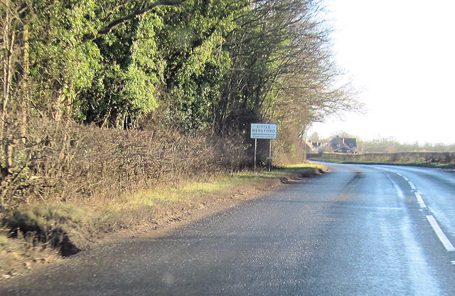
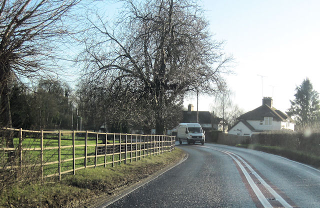
Brimfieldcross is a picturesque village located in the county of Herefordshire, in western England. Situated approximately 3 miles northeast of the town of Ludlow, it is nestled amidst rolling hills and beautiful countryside. With a population of around 300 residents, Brimfieldcross exudes a charming and tranquil ambiance that attracts visitors seeking to escape the hustle and bustle of city life.

The village is known for its historical significance, with evidence of settlement dating back to the Roman era. The architecture within Brimfieldcross reflects its rich heritage, with several well-preserved medieval timber-framed buildings scattered throughout the area. The centerpiece of the village is its quaint parish church, St. Michael's, which dates back to the 12th century and showcases stunning Norman and Gothic architectural features.

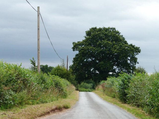
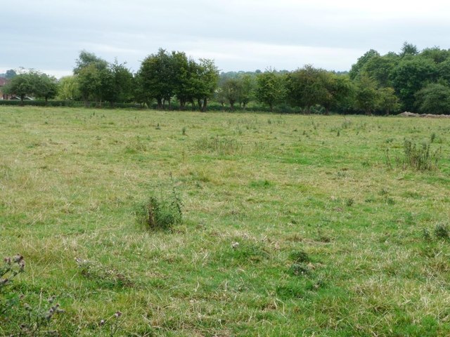
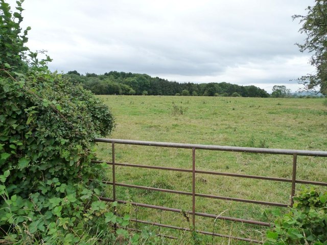
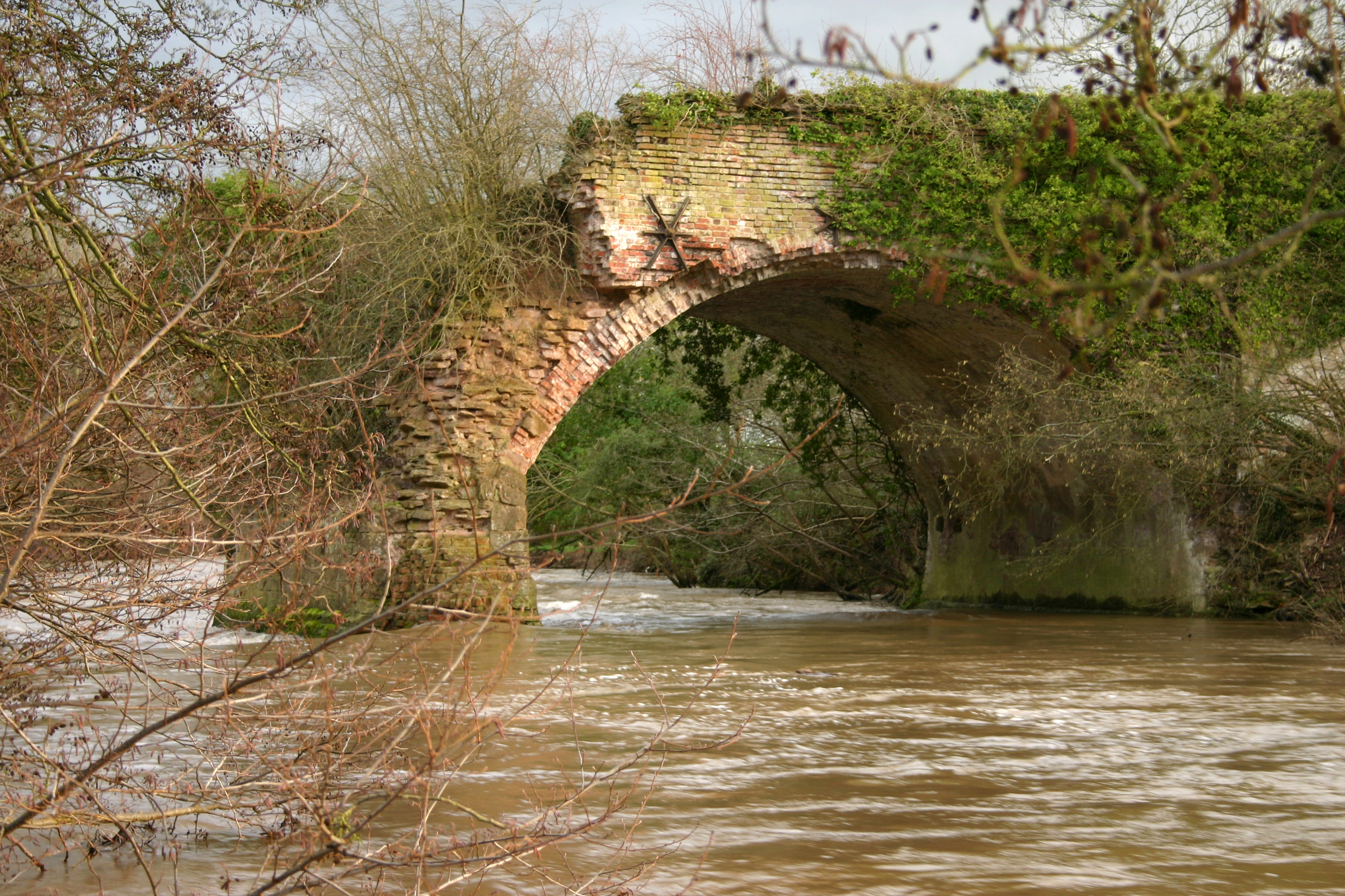
Surrounded by lush green fields and meandering streams, Brimfieldcross offers ample opportunities for outdoor activities. The village is a popular destination for walkers and hikers, with a network of footpaths and trails that provide breathtaking views of the Herefordshire countryside. Additionally, the nearby Mortimer Forest offers extensive woodland areas for nature lovers to explore.

Despite its small size, Brimfieldcross boasts a vibrant community spirit. The village hosts an array of local events, including an annual summer fete and a Christmas market, which bring residents and visitors together in celebration. The village also benefits from a cozy pub, The Cross Inn, where locals and tourists can enjoy a pint and traditional British fare.

In summary, Brimfieldcross is a charming village in Herefordshire, renowned for its historical architecture, stunning natural surroundings, and tight-knit community. It offers a peaceful retreat for those seeking an escape to the English countryside.

If you have any feedback on the listing, please let us know in the comments section below.

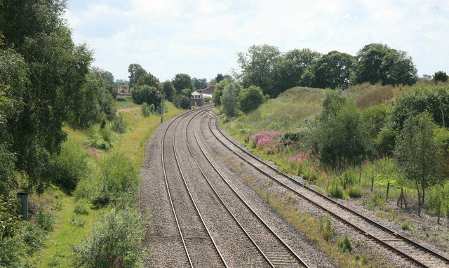
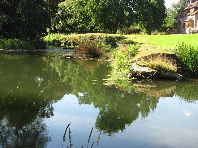
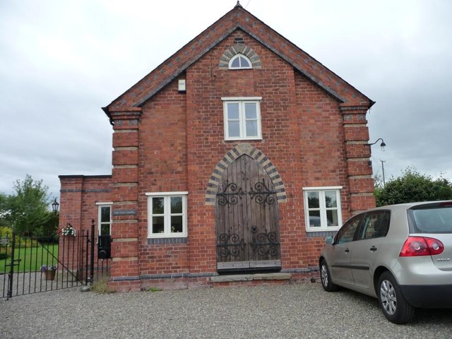
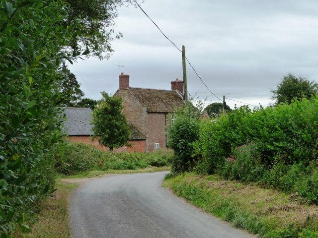
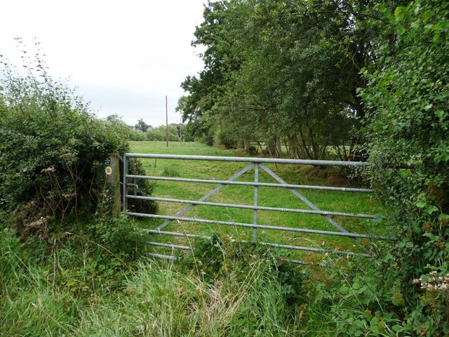
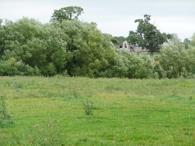
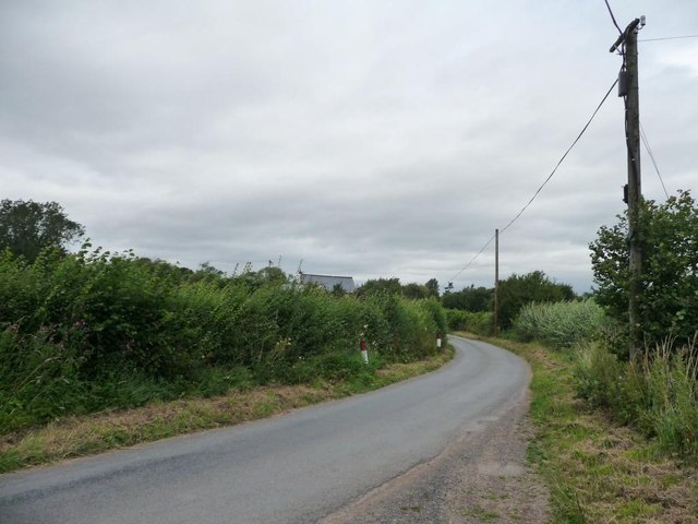
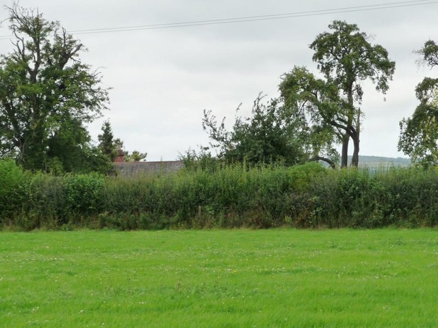
Brimfieldcross Images

Images are sourced within 2km of 52.309585/-2.6827606 or Grid Reference SO5368. Thanks to Geograph Open Source API. All images are credited.

Woofferton Loop Viewed from the minor road overbridge this is looking towards Hereford on the Marches line from Newport to Shrewsbury. The signalbox can be seen in the distance and this is one of the passing loops on this line.
Woofferton Loop
Viewed from the minor road overbridge this is looking towards Hereford on the Marches line from Newport to Shrewsbury. The signalbox can be seen in the distance and this is one of the passing loops on this line.
Weir, Barretts Mill The ever decaying weir which was damaged by a collision with a tree in the 18th century and has been steadily collapsing ever since.
Weir, Barretts Mill
The ever decaying weir which was damaged by a collision with a tree in the 18th century and has been steadily collapsing ever since.
The Old Chapel, Middleton Difficult to discover the history of this building, but judging by the windows, probably converted to a house in the last 30 years.
The Old Chapel, Middleton
Difficult to discover the history of this building, but judging by the windows, probably converted to a house in the last 30 years.
Lane heading to Temple Farm Middleton is a rather scattered hamlet.
Lane heading to Temple Farm
Middleton is a rather scattered hamlet.
Public footpath heading east Above the waymark, a small notice asks walkers to keep their dog on a lead.
Public footpath heading east
Above the waymark, a small notice asks walkers to keep their dog on a lead.
Footpath across field The path crosses the wooded stream and heads for the buildings at Broadway. A wind is blowing the leaves backwards, so that their silvery undersides are visible.
Footpath across field
The path crosses the wooded stream and heads for the buildings at Broadway. A wind is blowing the leaves backwards, so that their silvery undersides are visible.
The lane north through Middleton The roof of the Old Chapel is just visible.
The lane north through Middleton
The roof of the Old Chapel is just visible.
A clover-filled field at Middleton The trees have suffered a few broken branches.
A clover-filled field at Middleton
The trees have suffered a few broken branches.
Large tree, small lane Roadside tree on the lane to Little Hereford and the main road.
Large tree, small lane
Roadside tree on the lane to Little Hereford and the main road.
Gas pipeline marker On the east side of the lane coming south from Middleton. Helicopters follow these markers to find dying vegetation, which would indicate a leak.
Gas pipeline marker
On the east side of the lane coming south from Middleton. Helicopters follow these markers to find dying vegetation, which would indicate a leak.
The lane to Middleton The white painted fence highlights a small part of the gas pipeline infrastructure.
The lane to Middleton
The white painted fence highlights a small part of the gas pipeline infrastructure.
Gated entrance to long narrow field West of the lane running south from Middleton.
Gated entrance to long narrow field
West of the lane running south from Middleton.
Rough pasture near Little Hereford West of the lane from Middleton.
Rough pasture near Little Hereford
West of the lane from Middleton.
Half-blocked gate into pasture field The hedge is gradually covering the ends of the gate.
Half-blocked gate into pasture field
The hedge is gradually covering the ends of the gate.
A49 south entering Woofferton Woofferton House is straight ahead
A49 south entering Woofferton
Woofferton House is straight ahead
Approaching double bend at Gosford Farm A456 eastbound
Approaching double bend at Gosford Farm
A456 eastbound
A456 approaching Little Hereford Eastbound
A456 approaching Little Hereford
Eastbound
Little Hereford bend in A456 Heading east just west of Church Walk
Little Hereford bend in A456
Heading east just west of Church Walk
Show me another place!

Brimfieldcross is located at Grid Ref: SO5368 (Lat: 52.309585, Lng: -2.6827606)

Unitary Authority: County of Herefordshire

Police Authority: West Merica

What 3 Words

///lively.lyricist.improving. Near Orleton, Herefordshire

Nearby Locations

Brimfieldcross Gosford

Related Wikis

Leominster Canal

The Leominster Canal was an English canal which ran for just over 18 miles from Mamble to Leominster through 16 locks and a number of tunnels, some of...

Brimfield, Herefordshire

Brimfield is a village and civil parish in north Herefordshire, England. The village lies on the A49 road at the border with Shropshire. To the south,...

Woofferton

Woofferton is a village to the south of Ludlow, in Shropshire, England. It is one of Shropshire's most southerly villages and lies on the border with Herefordshire...

Wyson

Wyson is a hamlet in north Herefordshire, England, situated west of the A49 road and the adjacent village of Brimfield.It lies in the civil parish of Brimfield...

Nearby Amenities

Located within 500m of 52.309585,-2.6827606
Brimfield Cross
Place: hamlet
Lat/Long: 52.3095235/-2.6824114
Gosford
Place: locality
Lat/Long: 52.3112716/-2.685135
Post Box
Operator: Royal Mail
Post Box Type: lamp
Ref: SY8 122
Royal Cypher: EIIR
Royal Cypher Wikidata: Q33102113
Lat/Long: 52.3096218/-2.6829215
The data included in this document is from www.openstreetmap.org. The data is made available under ODbL.

Have you been to Brimfieldcross?

Leave your review of Brimfieldcross below (or comments, questions and feedback).