Blackwood Hill
Settlement in Staffordshire Staffordshire Moorlands
England
Blackwood Hill
Blackwood Hill is a small village located in the county of Staffordshire, England. Situated approximately 10 miles south of the town of Stafford, it is nestled within the picturesque countryside of the West Midlands.
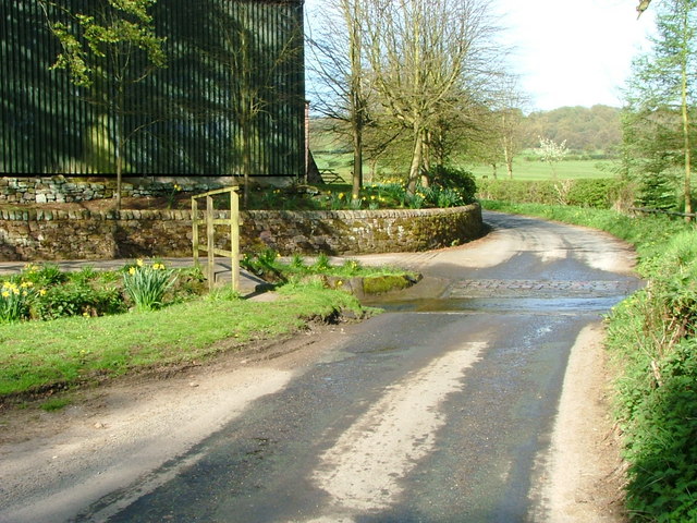
The village is characterized by its idyllic setting, surrounded by rolling hills and vast green fields. It has a population of around 500 residents, giving it a close-knit and friendly community atmosphere.
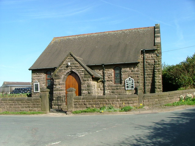
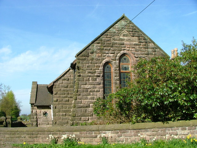
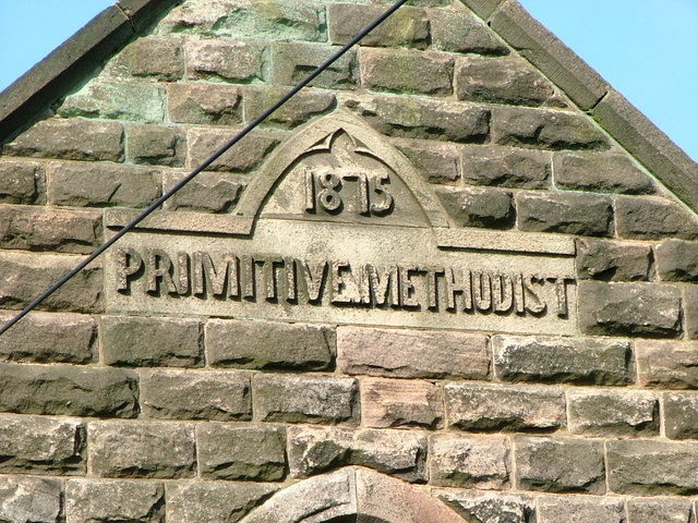
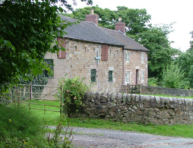
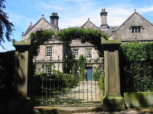
Blackwood Hill is known for its rich history, with evidence of human habitation dating back to the Neolithic period. The village is home to several historic buildings, including a 14th-century church and a manor house, which add to its charm and heritage.
Despite its small size, Blackwood Hill offers a range of amenities to its residents. These include a local primary school, a village hall, and a quaint village pub. The surrounding countryside provides ample opportunities for outdoor activities such as hiking, cycling, and horse riding.
Transport links to Blackwood Hill are convenient, with regular bus services connecting the village to nearby towns and cities. The village is easily accessible via the A518 road, which connects to the wider road network.
In summary, Blackwood Hill is a tranquil and picturesque village in Staffordshire, offering a peaceful and close-knit community, rich historical heritage, and easy access to the surrounding countryside.
If you have any feedback on the listing, please let us know in the comments section below.
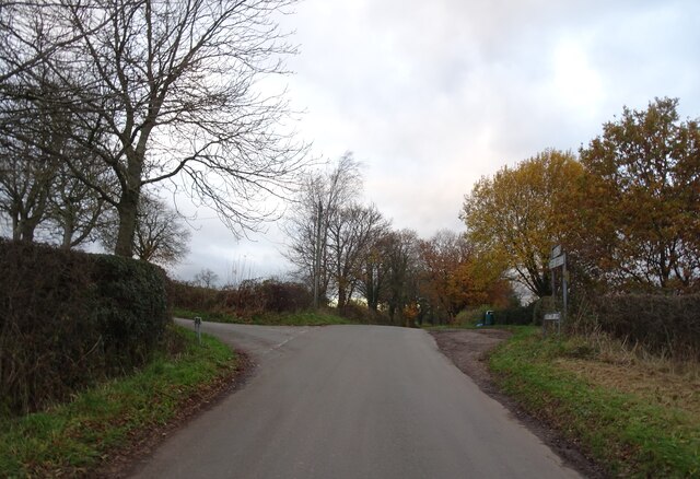
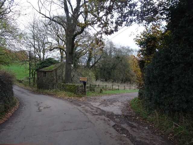
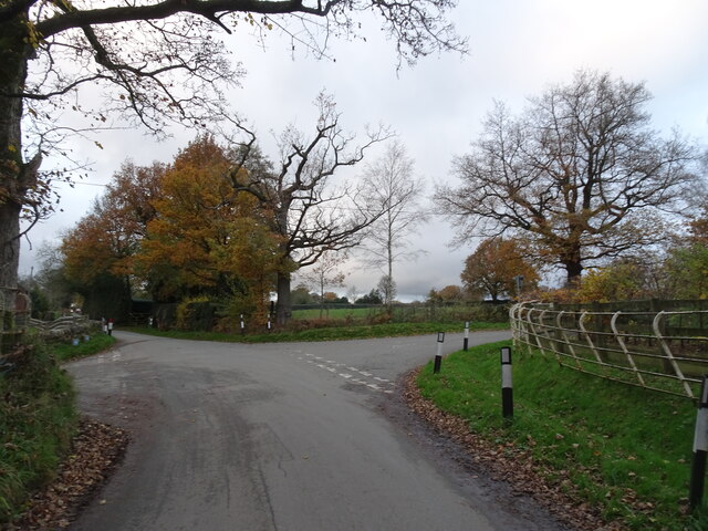
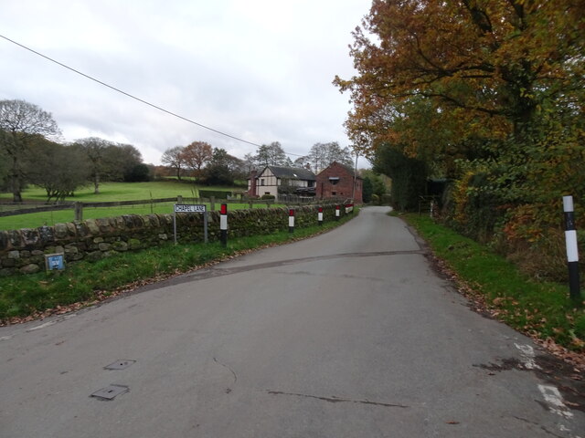
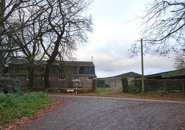
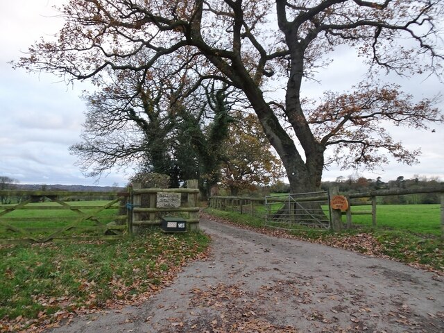
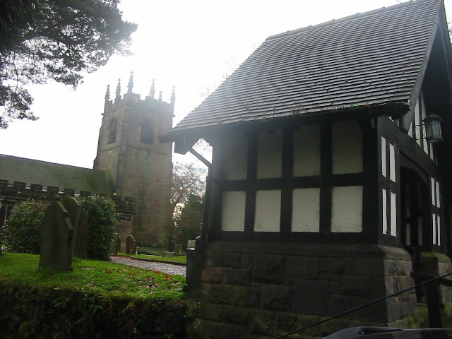
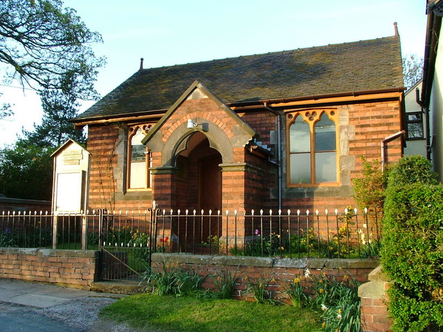
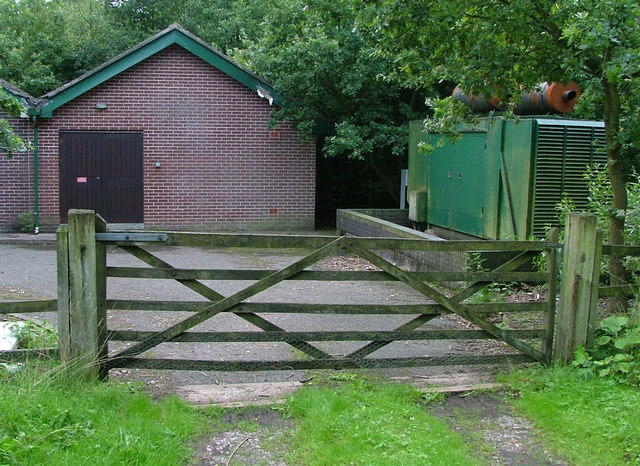
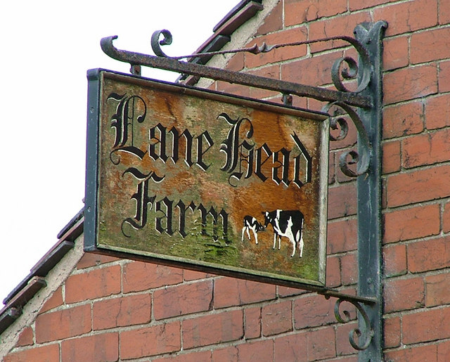
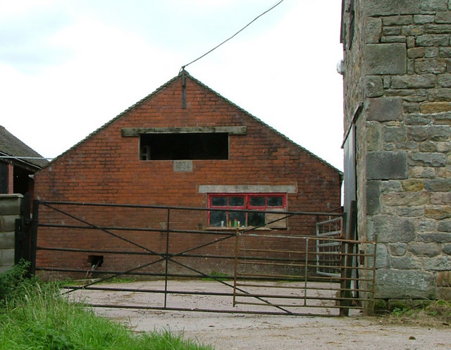
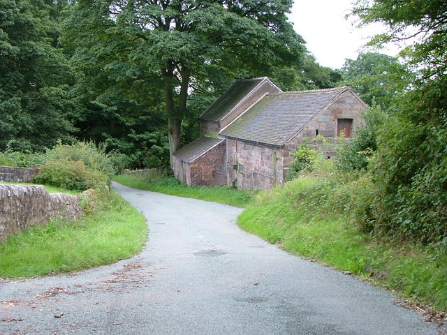
Blackwood Hill Images
Images are sourced within 2km of 53.102675/-2.1109327 or Grid Reference SJ9256. Thanks to Geograph Open Source API. All images are credited.

Blackwood Hill is located at Grid Ref: SJ9256 (Lat: 53.102675, Lng: -2.1109327)
Administrative County: Staffordshire
District: Staffordshire Moorlands
Police Authority: Staffordshire
What 3 Words
///version.investors.fell. Near Biddulph, Staffordshire
Nearby Locations
Related Wikis

The Ashes, Endon
The Ashes near Endon in Staffordshire is a building of historical significance and is Grade II* listed on the English Heritage Register. It was built in...
Horton, Staffordshire
Horton is a village and civil parish in the English county of Staffordshire. The population of the civil parish as taken at the 2011 census was 781. It...

St Luke's Church, Endon
St Luke's Church is an Anglican church in Endon, Staffordshire, England, and in the Diocese of Lichfield. The building, dating originally from about 1720...
Endon
Endon is a village within the Staffordshire Moorlands district of Staffordshire, England. It is 4 miles (6.4 km) southwest of Leek and 6 miles (9.7 km...
Related Videos


Nearby Amenities
Located within 500m of 53.102675,-2.1109327Have you been to Blackwood Hill?
Leave your review of Blackwood Hill below (or comments, questions and feedback).