Biddlestone

Settlement in Northumberland

England

Biddlestone

Trig point at Burradon Mains At 235m with a flush bracket number S7920.
With former tip used as a manure 'depot' in the background.
Looking over the Foxton Burn valley.
Storm Arwen took down adjacent trees.
Trig point at Burradon Mains Credit: Russel Wills

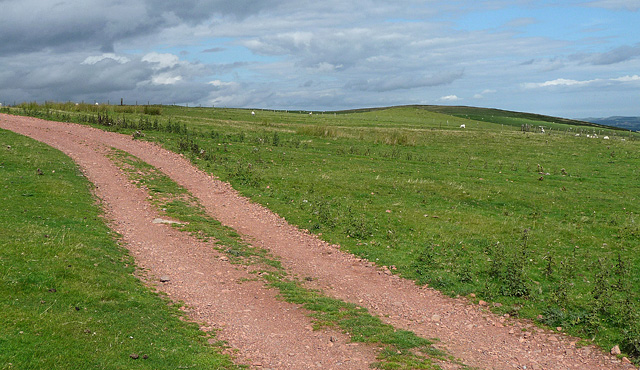
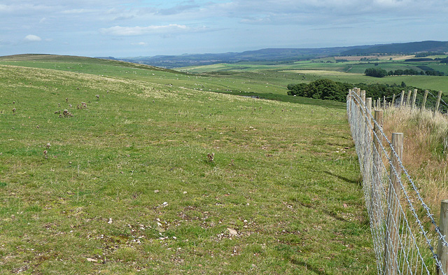
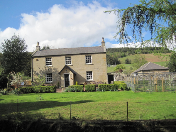
Biddlestone is a small village located in the county of Northumberland, England. Situated in the picturesque landscape of the Northumberland National Park, it is nestled in the heart of the Cheviot Hills, providing residents and visitors with breathtaking views of the surrounding countryside.

With a population of around 100 people, Biddlestone exudes a tranquil and peaceful atmosphere. The village is characterized by its charming stone houses, many of which date back several centuries, giving it a sense of historical significance. The local community takes pride in maintaining the village's traditional character, and it has managed to retain its rural charm despite being only a few miles away from larger towns.

The village is known for its close-knit community, with locals often engaging in various social activities and events. Biddlestone also has a small but welcoming pub where residents and visitors can gather to enjoy a drink or a meal.

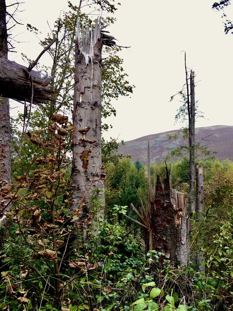
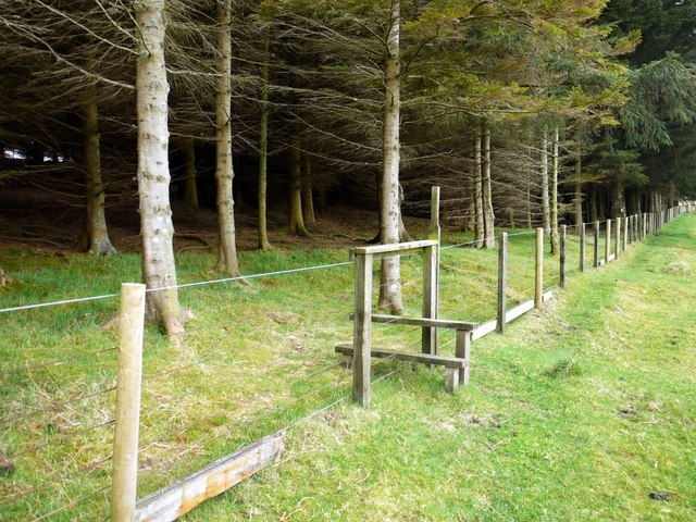
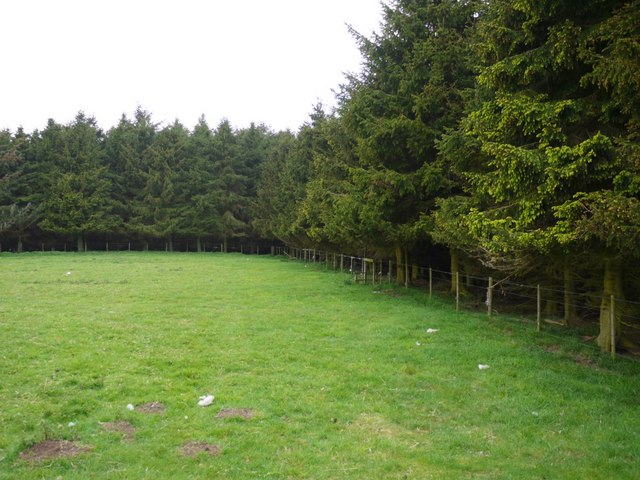
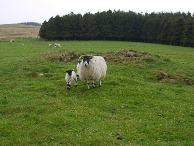
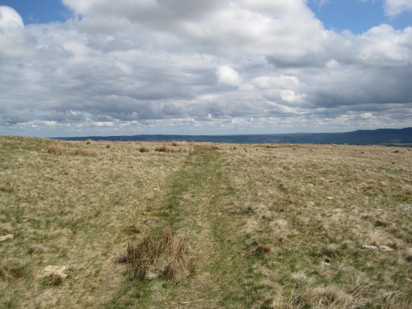
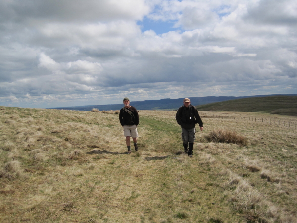
Nature enthusiasts are drawn to Biddlestone due to its proximity to the Northumberland National Park. The park offers a wealth of outdoor activities, including hiking, cycling, and birdwatching. The nearby River Coquet is a popular spot for fishing enthusiasts, attracting anglers from far and wide.

Overall, Biddlestone is a serene and idyllic village that offers a peaceful escape from the hustle and bustle of city life. Its natural beauty and strong sense of community make it an attractive destination for those seeking a tranquil retreat in the heart of Northumberland.

If you have any feedback on the listing, please let us know in the comments section below.
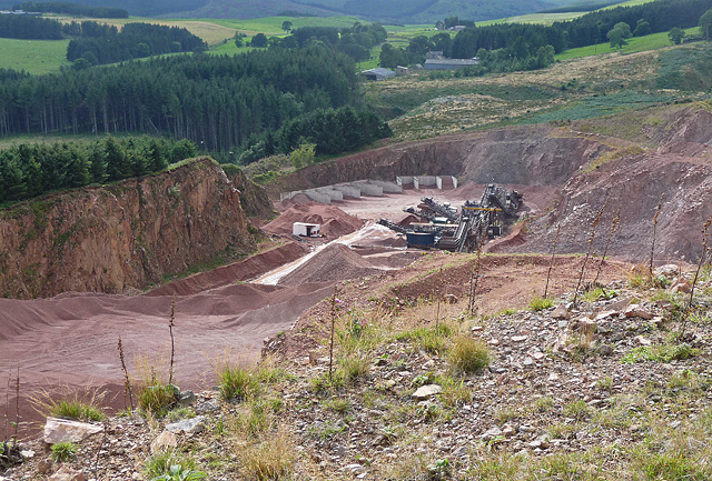
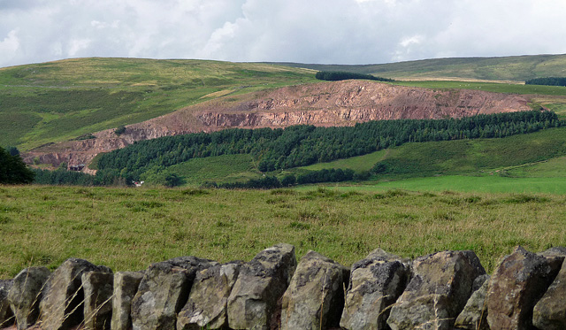
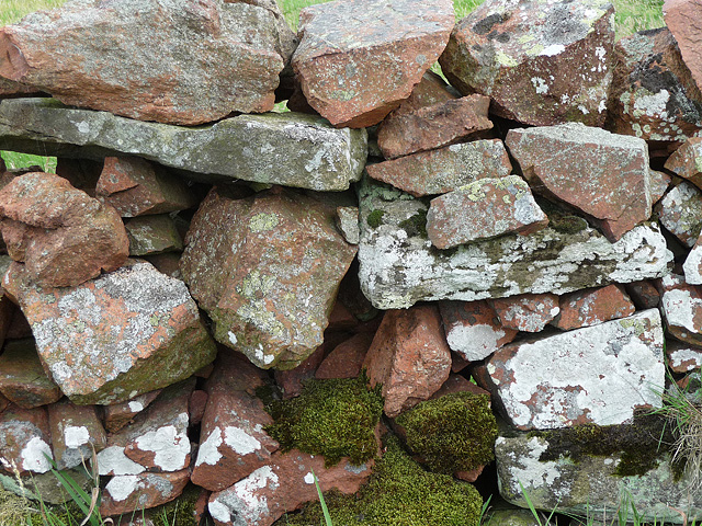
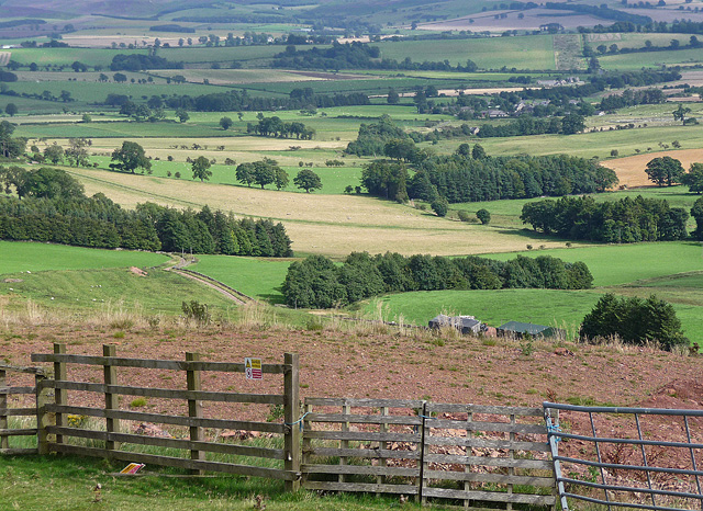
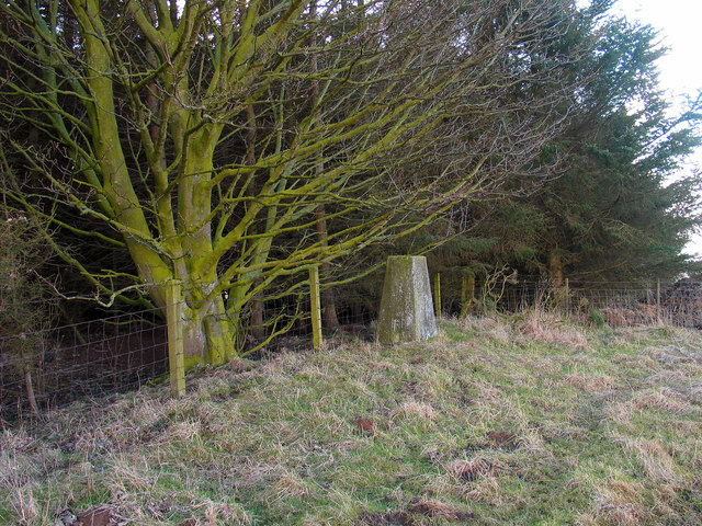
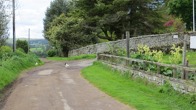
Biddlestone Images

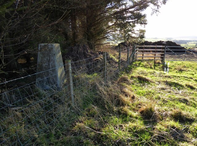
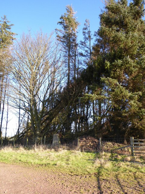
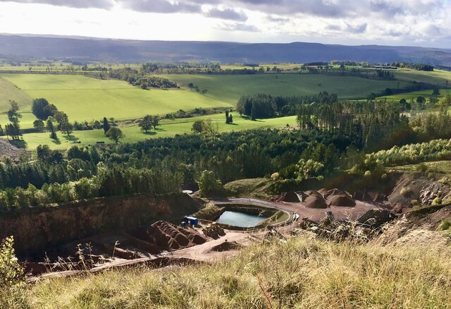
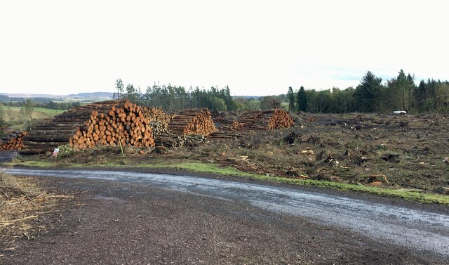
Images are sourced within 2km of 55.36848/-2.0637273 or Grid Reference NT9608. Thanks to Geograph Open Source API. All images are credited.

Trig point at Burradon Mains At 235m with a flush bracket number S7920.
With former tip used as a manure 'depot' in the background.
Looking over the Foxton Burn valley.
Storm Arwen took down adjacent trees.
Trig point at Burradon Mains
At 235m with a flush bracket number S7920. With former tip used as a manure 'depot' in the background. Looking over the Foxton Burn valley. Storm Arwen took down adjacent trees.
Burradon Mains trig point Threatened by windfall from Storm Arwen.
Burradon Mains trig point
Threatened by windfall from Storm Arwen.
A peek into Harden Quarry The source of red roadstone.  'Harden Red' is a red volcanic felsite.  It is used for cycleways, bus lanes and, famously, for surfacing The Mall.
A peek into Harden Quarry
The source of red roadstone. 'Harden Red' is a red volcanic felsite. It is used for cycleways, bus lanes and, famously, for surfacing The Mall.
"Ill blows the wind that profits nobody" Massive piles of logs like these are scattered all over Northumberland.  Harvesting the forest has often been the only practical way of clearing up after Storm Arwen blew in from the north.  A year on and there are still many areas left to clear.
"Ill blows the wind that profits nobody"
Massive piles of logs like these are scattered all over Northumberland. Harvesting the forest has often been the only practical way of clearing up after Storm Arwen blew in from the north. A year on and there are still many areas left to clear.
The violence of Storm Arwen One can't help but be impressed by the ferocity of a wind that can snap mature tree trunks like a child snaps twigs.
The violence of Storm Arwen
One can't help but be impressed by the ferocity of a wind that can snap mature tree trunks like a child snaps twigs.
Stile on north side of Hazeltonrig Burn plantation The earlier photo by Dave Dunford <a href="https://www.geograph.org.uk/photo/465860">NT9610 : Plantation above Hazeltonrig Burn</a> is shown as the same location but the stile is a mirror image and the fence is different. It is probably the equivalent stile on the north side which does have an upper barbed wire strand and is similarly orientated to that shown <a href="https://www.geograph.org.uk/photo/2387814">NT9610 : Forest plantation south of Hazeltonrig Burn</a>
Stile on north side of Hazeltonrig Burn plantation
The earlier photo by Dave Dunford NT9610 : Plantation above Hazeltonrig Burn is shown as the same location but the stile is a mirror image and the fence is different. It is probably the equivalent stile on the north side which does have an upper barbed wire strand and is similarly orientated to that shown NT9610 : Forest plantation south of Hazeltonrig Burn
Forest plantation south of Hazeltonrig Burn
Round cairn between Hazeltonrig Burn and Harden Burn From its situation and structure this is considered to be probably a Bronze Age round cairn although it has been much disturbed.
<span class="nowrap"><a title="http://www.pastscape.org.uk/hob.aspx?hob_id=1034027" rel="nofollow ugc noopener" href="http://www.pastscape.org.uk/hob.aspx?hob_id=1034027">Link</a><img style="margin-left:2px;" alt="External link" title="External link - shift click to open in new window" src="https://s1.geograph.org.uk/img/external.png" width="10" height="10"/></span>
The trees in the distance are those of the plantation above Singmoor <a href="https://www.geograph.org.uk/photo/1872243">NT9509 : Sing Moor Plantation</a>
Round cairn between Hazeltonrig Burn and Harden Burn
From its situation and structure this is considered to be probably a Bronze Age round cairn although it has been much disturbed. LinkExternal link The trees in the distance are those of the plantation above Singmoor NT9509 : Sing Moor Plantation
Footpath towards Hazeltonrig
Bridleway from Singmoor
Bleakmore Hill near Biddlestone (1) The prevalent red stone of this area, extracted at the adjacent Harden quarry (<a href="https://www.geograph.org.uk/photo/2387346">NT9508 : Harden quarry, Biddlestone (1)</a>), is evident. Harden Hill is on the right.
Bleakmore Hill near Biddlestone (1)
The prevalent red stone of this area, extracted at the adjacent Harden quarry (NT9508 : Harden quarry, Biddlestone (1)), is evident. Harden Hill is on the right.
Bleakmore Hill near Biddlestone (2) Looking east. The top of the hill is grazed by sheep, but is open access land and the fence on the right stops accessees from falling into Harden quarry (<a href="https://www.geograph.org.uk/photo/2387346">NT9508 : Harden quarry, Biddlestone (1)</a>).
Bleakmore Hill near Biddlestone (2)
Looking east. The top of the hill is grazed by sheep, but is open access land and the fence on the right stops accessees from falling into Harden quarry (NT9508 : Harden quarry, Biddlestone (1)).
Harden quarry, Biddlestone (1) Extracting unusually red stone, recognisable from bus lanes and cycle paths everywhere.
The cordon of trees no doubt helps to keep the noise down.
Harden quarry, Biddlestone (1)
Extracting unusually red stone, recognisable from bus lanes and cycle paths everywhere. The cordon of trees no doubt helps to keep the noise down.
Harden quarry, Biddlestone (2) As seen from the road to Netherton, the quarry extracts unusually red stone, recognisable from bus lanes and cycle paths everywhere. For a closer view see here: <a href="https://www.geograph.org.uk/photo/2387346">NT9508 : Harden quarry, Biddlestone (1)</a>.
The cordon of trees no doubt helps to keep the noise down.
Harden quarry, Biddlestone (2)
As seen from the road to Netherton, the quarry extracts unusually red stone, recognisable from bus lanes and cycle paths everywhere. For a closer view see here: NT9508 : Harden quarry, Biddlestone (1). The cordon of trees no doubt helps to keep the noise down.
Stone wall, Biddlestone Showcasing the unusually red stone in this area, extracted at the nearby Harden quarry (<a href="https://www.geograph.org.uk/photo/2387346">NT9508 : Harden quarry, Biddlestone (1)</a>) for use primarily in bus lanes and cycle paths.
Stone wall, Biddlestone
Showcasing the unusually red stone in this area, extracted at the nearby Harden quarry (NT9508 : Harden quarry, Biddlestone (1)) for use primarily in bus lanes and cycle paths.
View from Bleakmore Hill Looking south-east, the village of Netherton vaguely visible in the distance, right of centre. The top of Bleakmore Hill is grazed by sheep, but is open access land and the rickety ragbag of a fence is a token gesture to stop accessees from falling into Harden quarry (<a href="https://www.geograph.org.uk/photo/2387346">NT9508 : Harden quarry, Biddlestone (1)</a>).
On second thoughts, it's more likely that the gesture is made towards sheep, against which it is probably considerably more effective. No flying sheep in these parts ...
View from Bleakmore Hill
Looking south-east, the village of Netherton vaguely visible in the distance, right of centre. The top of Bleakmore Hill is grazed by sheep, but is open access land and the rickety ragbag of a fence is a token gesture to stop accessees from falling into Harden quarry (NT9508 : Harden quarry, Biddlestone (1)). On second thoughts, it's more likely that the gesture is made towards sheep, against which it is probably considerably more effective. No flying sheep in these parts ...
Copse with trig point Although the woodland may look extensive in this image it has a fairly small extent and is not mapped at the common OS scales. The trig point is known to the OS as Burradon Mains.
Copse with trig point
Although the woodland may look extensive in this image it has a fairly small extent and is not mapped at the common OS scales. The trig point is known to the OS as Burradon Mains.
Elilaw A very quiet road for the hens. The yellow road is the rather rough and narrow track that goes straight on. It looks like a field access and is rather confusing. The bigger road is a drive.
Elilaw
A very quiet road for the hens. The yellow road is the rather rough and narrow track that goes straight on. It looks like a field access and is rather confusing. The bigger road is a drive.
Show me another place!

Biddlestone is located at Grid Ref: NT9608 (Lat: 55.36848, Lng: -2.0637273)

Unitary Authority: Northumberland

Police Authority: Northumbria

What 3 Words

///comically.lied.measure. Near Whittingham, Northumberland

Nearby Locations

Biddlestone Garden Wood

Related Wikis

Biddlestone

Biddlestone is a village and civil parish in Northumberland, England. It is about 14 miles (23 km) to the west of Alnwick. In the early 21st Century several...

Biddlestone Chapel

Biddlestone Chapel is a redundant Roman Catholic chapel in Biddlestone, Northumberland, England. It is recorded in the National Heritage List for England...

Biddlestone Hall

Biddlestone Hall was a large country house at Biddlestone in Northumberland. == History == The Georgian style mansion was built for the Selby family about...

Netherton, Northumberland

Netherton is a village and civil parish in the English county of Northumberland. The population of the village at the 2011 census was 185.Located 6+1⁄2...

Nearby Amenities

Located within 500m of 55.36848,-2.0637273
Ford: yes
Lat/Long: 55.3659692/-2.058905
Telephone
Lat/Long: 55.3684556/-2.0638913
Post Box
Ref: NE65 164
Lat/Long: 55.3683993/-2.0638241
Biddlestone
Place: hamlet
Source: NLS-OS-1st_Series
Lat/Long: 55.3686909/-2.0661357
The data included in this document is from www.openstreetmap.org. The data is made available under ODbL.

Have you been to Biddlestone?

Leave your review of Biddlestone below (or comments, questions and feedback).