Bexley

Settlement in Kent

England

Bexley

London Loop footpath climbing A2 embankment The footpath uses the A2 bridge to cross the railway line.
London Loop footpath climbing A2 embankment Credit: David Martin

Bexley is a suburban town located in the southeastern part of the county of Kent, England. Situated on the outskirts of London, it is a part of the larger London Borough of Bexley. The town is bounded by the boroughs of Greenwich to the west, Bromley to the south, and Dartford to the east.

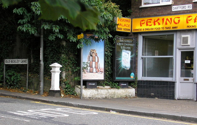
Bexley has a long history, dating back to the Roman times when it was known as Bixley. Over the years, it has evolved from a rural village to a thriving town that offers a mix of residential, commercial, and recreational amenities. The town center, known as Bexley Village, features a range of shops, restaurants, and services, making it a popular destination for locals and visitors alike.

The area is well-connected by transport links, with several railway stations serving the town, including Bexley railway station and Albany Park railway station. This makes commuting to central London or other nearby towns and cities convenient for residents.

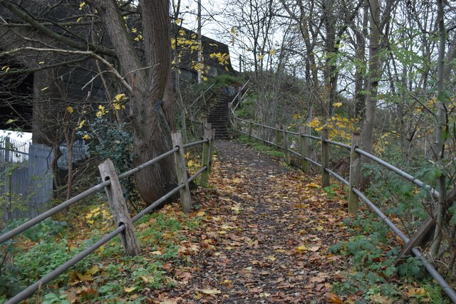
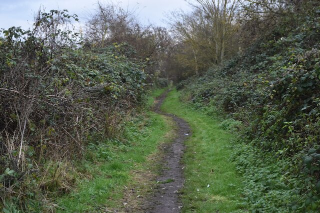
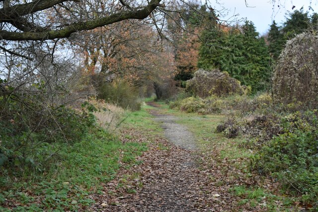
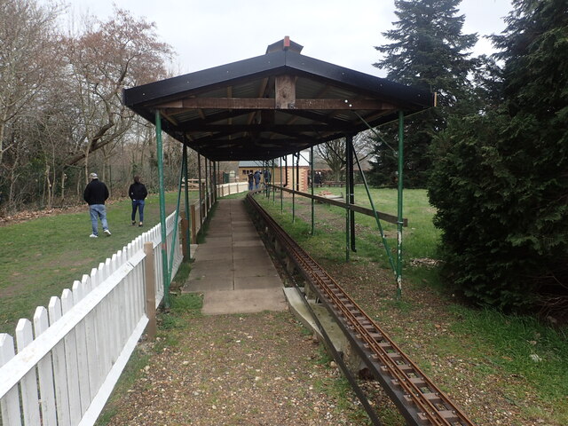
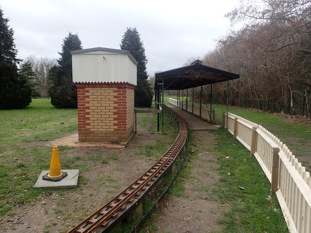
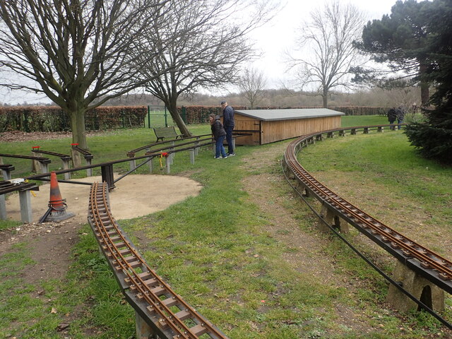
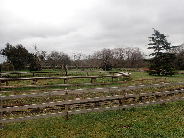
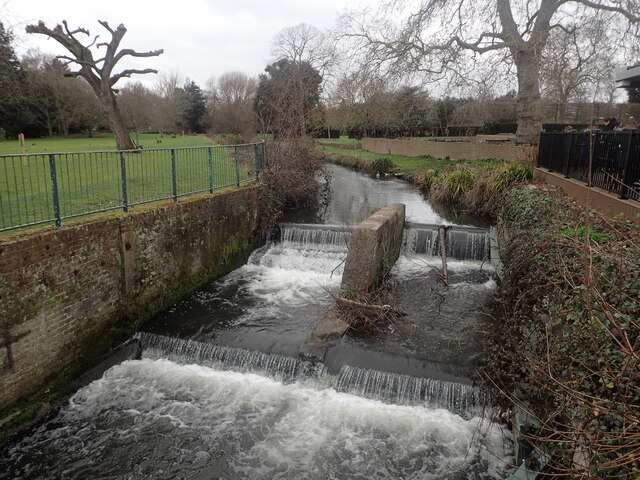
Bexley is also known for its green spaces and parks, providing residents with ample opportunities for outdoor activities and recreation. Danson Park, one of the largest public parks in the area, offers beautiful landscapes, a boating lake, and various sports facilities.

The town is home to a number of notable landmarks and attractions, such as Hall Place, a stunning Tudor mansion that now serves as a museum and gardens, and the Red House, a renowned Arts and Crafts building designed by William Morris.

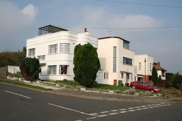
Overall, Bexley offers a pleasant and attractive place to live, with its blend of historical charm, modern amenities, and convenient access to both London and the picturesque Kent countryside.

If you have any feedback on the listing, please let us know in the comments section below.
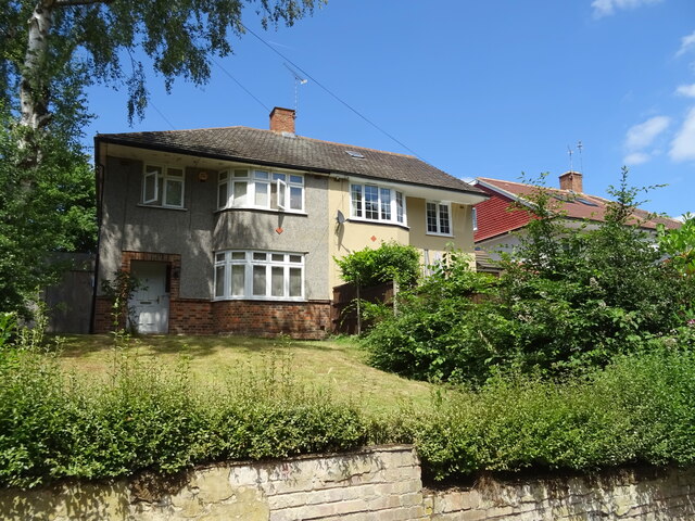
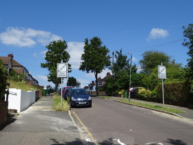
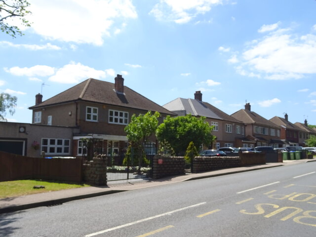
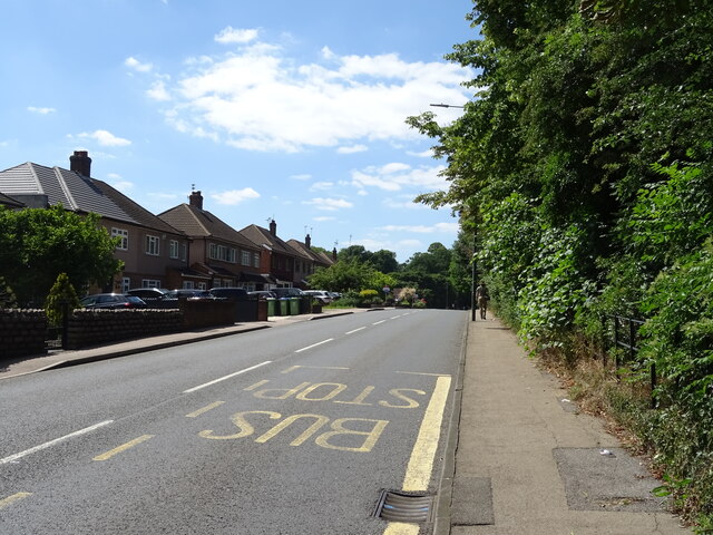
Bexley Images

Images are sourced within 2km of 51.441673/0.15046025 or Grid Reference TQ4973. Thanks to Geograph Open Source API. All images are credited.

London Loop footpath climbing A2 embankment The footpath uses the A2 bridge to cross the railway line.
London Loop footpath climbing A2 embankment
The footpath uses the A2 bridge to cross the railway line.
Path beside the railway at Braeburn Park Nature reserve south of the Dartford Loop Line.
Path beside the railway at Braeburn Park
Nature reserve south of the Dartford Loop Line.
River Cray at Hall Place
Footpath in Braeburn Park
Houses on Watling Street, Bexleyheath
Park Grove Bexleyheath Off Watling Street.
Park Grove Bexleyheath
Off Watling Street.
Houses on London Road
London Road (A207) Towards Bexleyheath.
London Road (A207)
Towards Bexleyheath.
Miniature railway at Hall Place The Welling & District Model Engineering Society moved their layout from their previous location at Falconwood to Hall Place & Gardens in 2022. This is the station.
Miniature railway at Hall Place
The Welling & District Model Engineering Society moved their layout from their previous location at Falconwood to Hall Place & Gardens in 2022. This is the station.
Miniature railway at Hall Place The Welling & District Model Engineering Society moved their layout from their previous location at Falconwood to Hall Place & Gardens in 2022.
Miniature railway at Hall Place
The Welling & District Model Engineering Society moved their layout from their previous location at Falconwood to Hall Place & Gardens in 2022.
Miniature railway at Hall Place The Welling & District Model Engineering Society moved their layout from their previous location at Falconwood to Hall Place & Gardens in 2022. This photograph gives some idea of the size of the layout.
Miniature railway at Hall Place
The Welling & District Model Engineering Society moved their layout from their previous location at Falconwood to Hall Place & Gardens in 2022. This photograph gives some idea of the size of the layout.
River Cray at Hall Place The River Cray is a very clean chalk stream with natural banks for much of its length. It is followed throughout its course in Bexley by the Cray Riverway. This view looks upriver at Hall Place.
River Cray at Hall Place
The River Cray is a very clean chalk stream with natural banks for much of its length. It is followed throughout its course in Bexley by the Cray Riverway. This view looks upriver at Hall Place.
Joydens Wood A Woodland Trust site in Dartford borough, opened to the public in 1988.  Close to the A2 and A20 trunk roads,this remains a natural ancient woodland and contains visible remains of the ancient "Faesten Dic" (strong dyke), an Anglo-Saxon (or possibly older) defensive ditch.  It is approximately 130 hectares in area and contains many tracks and paths; the main tracks are open to horses and cyclists.
Joydens Wood
A Woodland Trust site in Dartford borough, opened to the public in 1988. Close to the A2 and A20 trunk roads,this remains a natural ancient woodland and contains visible remains of the ancient "Faesten Dic" (strong dyke), an Anglo-Saxon (or possibly older) defensive ditch. It is approximately 130 hectares in area and contains many tracks and paths; the main tracks are open to horses and cyclists.
River Cray near Hall Place, Sidcup, Kent Here the River Cray runs through pleasant open fields.  The path alongside forms part of the London Loop.
River Cray near Hall Place, Sidcup, Kent
Here the River Cray runs through pleasant open fields. The path alongside forms part of the London Loop.
Old Oak Tree Oak tree on Dartford Heath
Old Oak Tree
Oak tree on Dartford Heath
Coal Tax Post (Nail Number 209 - <span class="nowrap"><a title="http://www.rhaworth.pwp.blueyonder.co.uk/coalwine/postlist.htm#kent" rel="nofollow ugc noopener" href="http://www.rhaworth.pwp.blueyonder.co.uk/coalwine/postlist.htm#kent">Link</a><img style="margin-left:2px;" alt="External link" title="External link - shift click to open in new window" src="https://s1.geograph.org.uk/img/external.png" width="10" height="10"/></span> ) at the point where Old Bexley Lane, Dartford becomes Dartford Road, Old Bexley and still standing on the Greater London / Kent boundary as it did in 1861.
Coal Tax Post
(Nail Number 209 - LinkExternal link ) at the point where Old Bexley Lane, Dartford becomes Dartford Road, Old Bexley and still standing on the Greater London / Kent boundary as it did in 1861.
1930s Apartment Block, Hill Crescent, Bexley Deserving of listed status is this almost perfectly preserved example of 1930s architecture, with its flat roof and curved corner windows.  Even the original metal window frames are still in position.  It is an architectural gem.
1930s Apartment Block, Hill Crescent, Bexley
Deserving of listed status is this almost perfectly preserved example of 1930s architecture, with its flat roof and curved corner windows. Even the original metal window frames are still in position. It is an architectural gem.
Show me another place!

Bexley is located at Grid Ref: TQ4973 (Lat: 51.441673, Lng: 0.15046025)

Unitary Authority: Bexley

Police Authority: Metropolitan

What 3 Words

///fills.builds.meals. Near Bexley, London

Related Wikis

King's Head, Bexley

The King's Head is a pub at 65 Bexley High Street, Bexley, London. It is a Grade II listed building, dating back to the 16th or early 17th century. �...

Bexley

Bexley is an area of south-eastern Greater London, England and part of the London Borough of Bexley. It is sometimes known as Bexley Village or Old Bexley...

Bexley railway station

Bexley railway station is in the London Borough of Bexley in south-east London, in Travelcard Zone 6. It is 13 miles 69 chains (22.3 km) down the line...

Bexley F.C.

Bexley Football Club is a football club based in Bexley, London, England. They are currently members of the Kent County League Division One West. ��2...

Black Prince, Bexley

The Black Prince is a hotel in the London Borough of Bexley, contained in a landscaped part of the intersection of the A2 dual carriageway. The intersection...

Beths Grammar School

Beths Grammar School, commonly known as Beths, is an all-boys grammar school with academy status in Bexley in South East London. Pupils are admitted from...
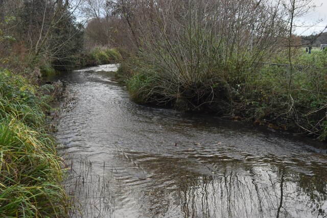
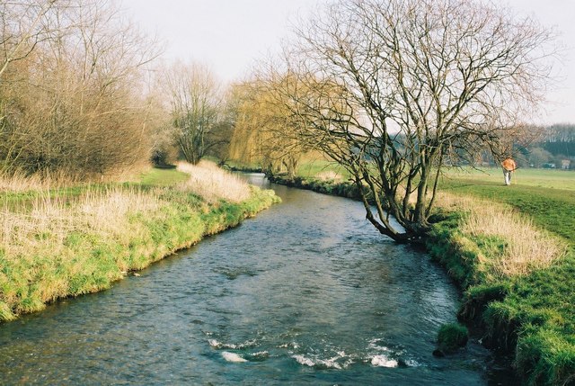
River Shuttle

The River Shuttle is a small tributary of the River Cray in London, United Kingdom. The river rises at two or more springs between Avery Hill and Eltham...

Municipal Borough of Bexley

Bexley was a local government district in north west Kent from 1879 to 1965 around the town of Old Bexley. == History == The parish of Bexley adopted the...

Nearby Amenities

Located within 500m of 51.441673,0.15046025
Bexley
Is In: Bexley, UK
Place: suburb
Wikidata: Q146416
Wikipedia: en:Bexley
Lat/Long: 51.4416793/0.150488
Mini Roundabout
Direction: clockwise
Lat/Long: 51.4416898/0.1504913
Hartford Road
Bus: yes
Network: London Buses
Public Transport: stop_position
Lat/Long: 51.4448889/0.1521849
Mini Roundabout
Direction: clockwise
Lat/Long: 51.4388442/0.1527742
Noexit: yes
Lat/Long: 51.4418562/0.1436683
Post Box
Listed Status: Grade II
Operator: Royal Mail
Operator Wikidata: Q638098
Post Box Design: penfold
Post Box Type: pillar
Ref: DA5 67
Royal Cypher: VR
Royal Cypher Wikidata: Q33102356
Wikidata: Q26641685
Lat/Long: 51.4428508/0.1435208
Crossing
Crossing: uncontrolled
Crossing Island: no
Crossing Ref: zebra
Tactile Paving: yes
Lat/Long: 51.4414931/0.149201
Post Box
Collection Times: Mo-Fr 18:00; Sa 11:00
Post Box Type: pillar
Ref: DA5 217
Royal Cypher: EIIR
Royal Cypher Wikidata: Q33102113
Lat/Long: 51.4413735/0.14794
Bus Stop
Bexley Station
Bench: no
Bin: no
Bus: yes
Local Ref: D
Naptan AtcoCode: 490001024D
Naptan Bearing: N
Naptan CommonName: Bexley
Naptan Indicator: D
Naptan Verified: no
Public Transport: platform
Shelter: no
Tactile Paving: no
Lat/Long: 51.4417388/0.1471893
Bus Stop
Bexley Station
Bus: yes
Local Ref: E
Naptan AtcoCode: 490001024E
Naptan Bearing: N
Naptan CommonName: Bexley
Naptan Indicator: E
Naptan Verified: no
Public Transport: platform
Shelter: yes
Lat/Long: 51.4414756/0.147637
Bus Stop
Bexley Library
Bench: yes
Bin: yes
Bus: yes
Local Ref: F
Naptan AtcoCode: 490003984F
Naptan Bearing: N
Naptan CommonName: Bexley Library
Naptan Indicator: F
Naptan Verified: no
Network: London Buses
Network Wikidata: Q1192411
Public Transport: platform
Ref: 54354
Shelter: yes
Tactile Paving: no
Lat/Long: 51.4424064/0.1507734
Bus Stop
Bexley Library
Bench: yes
Bin: yes
Bus: yes
Local Ref: G
Naptan AtcoCode: 490003984G
Naptan Bearing: N
Naptan CommonName: Bexley Library
Naptan Indicator: G
Naptan Verified: no
Network: London Buses
Network Wikidata: Q1192411
Public Transport: platform
Ref: 75197
Shelter: yes
Tactile Paving: no
Lat/Long: 51.4423564/0.1509182
Bus Stop
Bexley War Memorial
Bench: yes
Bin: no
Bus: yes
Local Ref: B
Naptan AtcoCode: 490003988B
Naptan Bearing: N
Naptan CommonName: Bexley War Memorial
Naptan Indicator: B
Naptan Street: PARKHILL ROAD
Naptan Verified: no
Public Transport: platform
Ref: 49751
Shelter: yes
Source Ref: naptan
Lat/Long: 51.4420911/0.144873
Bus Stop
Bexley War Memorial
Bench: yes
Bin: yes
Bus: yes
Local Ref: C
Naptan AtcoCode: 490003988E
Naptan Bearing: N
Naptan CommonName: Bexley War Memorial
Naptan Indicator: C
Naptan Street: HURST ROAD
Naptan Verified: no
Public Transport: platform
Ref: 74151
Shelter: yes
Source Ref: naptan
Tactile Paving: no
Lat/Long: 51.4415818/0.1459759
Bus Stop
Hartford Road
Bus: yes
Local Ref: H
Naptan AtcoCode: 490007872H
Naptan Bearing: N
Naptan CommonName: Hartford Road
Naptan Indicator: H
Naptan Verified: no
Network: London Buses
Network Wikidata: Q1192411
Public Transport: platform
Ref: 47105
Shelter: yes
Lat/Long: 51.4449331/0.1521489
Bus Stop
Hartford Road
Bench: yes
Bin: no
Bus: yes
Local Ref: J
Naptan AtcoCode: 490007872J
Naptan Bearing: S
Naptan CommonName: Hartford Road
Naptan Indicator: J
Naptan Verified: no
Network: London Buses
Network Wikidata: Q1192411
Public Transport: platform
Ref: 71328
Shelter: yes
Lat/Long: 51.4447284/0.1522133
Bus Stop
North Cray Road / Vicarage Road
Bus: yes
Local Ref: K
Naptan AtcoCode: 490014042K
Naptan Bearing: S
Naptan CommonName: North Cray Road Vicarage Road
Naptan Indicator: K
Naptan Verified: no
Network: London Buses
Network Wikidata: Q1192411
Public Transport: platform
Ref: 72957
Lat/Long: 51.4392209/0.1529646
Bus Stop
North Cray Road / Vicarage Road
Bus: yes
Local Ref: L
Naptan AtcoCode: 490014042L
Naptan Bearing: N
Naptan CommonName: North Cray Road Vicarage Road
Naptan Indicator: L
Naptan Verified: no
Network: London Buses
Network Wikidata: Q1192411
Public Transport: platform
Ref: 76500
Lat/Long: 51.4378839/0.1513011
Bus Stop
Vicarage Road
Bus: yes
Local Ref: M
Naptan AtcoCode: 490014042M
Naptan Bearing: E
Naptan CommonName: North Cray Road Vicarage Road
Naptan Indicator: M
Naptan Verified: no
Public Transport: platform
Lat/Long: 51.4381369/0.1542164
Bus Stop
Vicarage Road
Bus: yes
Local Ref: N
Naptan AtcoCode: 490014042N
Naptan Bearing: W
Naptan CommonName: North Cray Road Vicarage Road
Naptan Indicator: N
Naptan Verified: no
Public Transport: platform
Lat/Long: 51.438664/0.1530852
Note: As at 2018 this pub has been closed for several years
Was Amenity: pub
Was Name: The Old Wick
Lat/Long: 51.438155/0.1537347
Barrier: kissing_gate
Material: metal
Width: 3
Lat/Long: 51.4394833/0.1545013
Bexley
Public Transport: stop_position
Railway: stop
Train: yes
Lat/Long: 51.4405254/0.1489478
War Memorial
Historic: memorial
Memorial: war_memorial
Source: Bing;photograph
Wikidata: Q81092079
Lat/Long: 51.4417396/0.1460041
Telephone
Booth: K6
Check Date: 2022-05-05
Covered: booth
Listed Status: Grade II
Operator: BT
Operator Wikidata: Q593786
Lat/Long: 51.4411934/0.1484734
Crossing
Crossing: uncontrolled
Crossing Ref: zebra
Lat/Long: 51.4411635/0.151096
Clock
Display: analog
Note: On roof of Freemantle Hall
Lat/Long: 51.4417266/0.1496506
Man Made: surveillance
Source: photograph
Surveillance: public
Lat/Long: 51.441732/0.1501621
Bench
Backrest: yes
Material: wood
Lat/Long: 51.4413129/0.1507248
Bench
Backrest: yes
Material: wood
Lat/Long: 51.4413353/0.1507862
Man Made: surveillance
Source: photograph
Surveillance: public
Lat/Long: 51.4416213/0.150468
Crossing
Crossing: uncontrolled
Crossing Island: no
Crossing Ref: zebra
Tactile Paving: yes
Lat/Long: 51.4421822/0.1507568
Bexley Tyres
Note: Approximate location
Shop: tyres
Source: photograph
Lat/Long: 51.441722/0.1511379
Dress Agency
Shop: clothes
Lat/Long: 51.4418485/0.1509274
Telephone
Booth: K6
Covered: booth
Listed Status: Grade II
Operator: BT
Operator Wikidata: Q593786
Source: photograph
Lat/Long: 51.4421266/0.1509519
Telephone
Booth: K6
Covered: booth
Listed Status: Grade II
Operator: BT
Operator Wikidata: Q593786
Source: photograph
Lat/Long: 51.4421311/0.1509341
Post Box
Post Box Type: pillar
Lat/Long: 51.4421753/0.150905
Post Box
Collection Times: Mo-Fr 17:00; Sa 12:00
Operator: Royal Mail
Operator Wikidata: Q638098
Post Box Type: pillar
Ref: DA5 403
Royal Cypher: EIIR
Royal Cypher Wikidata: Q33102113
Lat/Long: 51.441503/0.1493661
Bexley
Public Transport: stop_position
Railway: stop
Ref: 1
Train: yes
Lat/Long: 51.4397782/0.1461996
Entrance: main
Lat/Long: 51.4403376/0.1478353
London LOOP
Hiking: yes
Information: map
Tourism: information
Lat/Long: 51.4413181/0.1486825
Bexley
Naptan AtcoCode: 9100BEXLEY
Network: National Rail
Network Website: https://www.nationalrail.co.uk/stations/bxy/
Network Wikidata: Q26334
Operator: Southeastern
Operator Website: https://www.southeasternrailway.co.uk/travel-information/more-travel-help/station-information/stations/bexley
Operator Wikidata: Q1696490
Public Transport: station
Railway: station
Ref Crs: BXY
Source: NPE
Source Ref: http://en.wikipedia.org/wiki/List_of_London_railway_stations
Toilets Wheelchair: yes
Train: yes
Wheelchair: limited
Wheelchair Description: Only the near platform (to Crayford) is accessible
Wikidata: Q2346075
Wikipedia: en:Bexley railway station
Lat/Long: 51.4402375/0.1479494
Barrier: bollard
Lat/Long: 51.4449692/0.1523491
Pub
Black Horse
Real Ale: yes
Lat/Long: 51.4448308/0.1499556
Barrier: kissing_gate
Material: metal
Note: Large enough for pram
Lat/Long: 51.4398568/0.1538076
Source: Personal memory
Traffic Sign: low_emission_zone
Lat/Long: 51.4451343/0.1529802
Hartford Road
Bus: yes
Network: London Buses
Public Transport: stop_position
Lat/Long: 51.4447622/0.1521488
Bexley Library
Bus: yes
Network: London Buses
Public Transport: stop_position
Lat/Long: 51.4423711/0.1508437
Bexley Library
Bus: yes
Network: London Buses
Public Transport: stop_position
Lat/Long: 51.4423906/0.1508536
North Cray Road / Vicarage Road
Bus: yes
Network: London Buses
Public Transport: stop_position
Lat/Long: 51.4392382/0.1528878
North Cray Road / Vicarage Road
Bus: yes
Network: London Buses
Public Transport: stop_position
Lat/Long: 51.4378574/0.1513554
Access: private
Barrier: entrance
Entrance: gate
Material: metal
Lat/Long: 51.4395702/0.1462663
Bexley
Public Transport: stop_position
Railway: stop
Ref: 2
Train: yes
Lat/Long: 51.4403547/0.1483462
Tourism: information
Lat/Long: 51.4396432/0.1555775
Crossing
Crossing: uncontrolled
Crossing Ref: zebra
Lat/Long: 51.4403708/0.1528487
Entrance: yes
Lat/Long: 51.4400803/0.1537226
Entrance: yes
Lat/Long: 51.4417286/0.1495621
Barrier: lift_gate
Lat/Long: 51.4417539/0.1497437
Entrance: yes
Lat/Long: 51.4420315/0.1485729
Bexley Village Scrap Metals
Industrial: scrap_yard
Landuse: industrial
Lat/Long: 51.4416578/0.1486628
Barrier: cycle_barrier
Material: metal
Lat/Long: 51.4419383/0.1488941
Post Office
Bexley Post Office
Addr City: Bexley
Addr Housenumber: 26
Addr Postcode: DA5 1AD
Addr Street: Bexley High Street
Brand: Post Office
Brand Wikidata: Q1783168
Opening Hours: Mo-Sa 07:00-21:00; Su 08:00-20:00
Ref Pol Id: 148979
Website: https://www.postoffice.co.uk/branch-finder/1740148/bexley
Lat/Long: 51.441346/0.1477884
Barrier: lift_gate
Lat/Long: 51.4407642/0.1518881
Bexley Complementary Health Clinic
Healthcare: alternative
Lat/Long: 51.443394/0.151919
Give Way
Direction: backward
Lat/Long: 51.439936/0.1533227
Crossing
Lat/Long: 51.4409754/0.1512716
Crossing
Lat/Long: 51.4408119/0.1519182
Crossing
Lat/Long: 51.4406758/0.1525174
Traffic Calming: cushion
Lat/Long: 51.4407933/0.1523032
Give Way
Direction: forward
Lat/Long: 51.4409897/0.1512933
Give Way
Direction: backward
Lat/Long: 51.4412991/0.15088
Give Way
Direction: backward
Lat/Long: 51.4412164/0.1501508
Give Way
Direction: forward
Lat/Long: 51.4413272/0.1500558
Barrier: cycle_barrier
Bicycle: dismount
Material: metal
Lat/Long: 51.4394824/0.15451
Entrance: yes
Lat/Long: 51.4434083/0.1519041
Bench
Backrest: yes
Direction: SW
Lat/Long: 51.4446164/0.1540577
Bench
Backrest: yes
Direction: SW
Lat/Long: 51.4446773/0.1539486
Pilates Body Studio
Addr Housenumber: 88
Addr Street: Bexley High Street
Leisure: fitness_centre
Lat/Long: 51.4410033/0.1511022
Bicycle Parking
Bicycle Parking: stands
Capacity: 2
Ref GB Tflcid: RWG171622
Lat/Long: 51.4413203/0.1507309
Bicycle Parking
Bicycle Parking: stands
Capacity: 2
Ref GB Tflcid: RWG171624
Lat/Long: 51.4413263/0.1481416
Bicycle Parking
Bicycle Parking: stands
Capacity: 2
Ref GB Tflcid: RWG171620
Lat/Long: 51.4416076/0.1473217
Ref GB Tflcid: RWG182128
Traffic Calming: hump
Lat/Long: 51.4459241/0.1513301
Ref GB Tflcid: RWG180616
Traffic Calming: cushion
Lat/Long: 51.4426606/0.1483475
Ref GB Tflcid: RWG182151
Traffic Calming: hump
Lat/Long: 51.4426615/0.1513658
Ref GB Tflcid: RWG182130
Traffic Calming: hump
Lat/Long: 51.4456751/0.1511586
Post Box
Post Box Type: meter
Lat/Long: 51.4421723/0.1509364
Man Made: mast
Tower Type: communication
Lat/Long: 51.4395926/0.1461147
Bexley Express
Check Date: 2023-05-04
Shop: convenience
Lat/Long: 51.4414404/0.1494062
Phone
Emergency: phone
Note: Help point with emergency and information buttons
Operator: Southeastern
Lat/Long: 51.4402742/0.1478146
Addr Housenumber: 1
Addr Street: Oxford Mews
Entrance: home
Source Addr Housenumber: Survey 2023-05-29
Lat/Long: 51.4408663/0.1475315
Addr Housenumber: 2
Addr Street: Oxford Mews
Entrance: home
Source Addr Housenumber: interpolation
Lat/Long: 51.4408818/0.1474827
Addr Housenumber: 3
Addr Street: Oxford Mews
Entrance: home
Source Addr Housenumber: Survey 2023-05-29
Lat/Long: 51.4408926/0.1474486
Addr Housenumber: 4
Addr Street: Oxford Mews
Entrance: home
Source Addr Housenumber: interpolation
Lat/Long: 51.4409212/0.1473984
Addr Housenumber: 5
Addr Street: Oxford Mews
Entrance: home
Source Addr Housenumber: interpolation
Lat/Long: 51.4409427/0.1474517
Addr Housenumber: 6
Addr Street: Oxford Mews
Entrance: home
Source Addr Housenumber: interpolation
Lat/Long: 51.440978/0.1474805
Addr Housenumber: 7
Addr Street: Oxford Mews
Entrance: home
Source Addr Housenumber: Survey 2023-05-29
Lat/Long: 51.4410006/0.147499
Barrier: bollard
Lat/Long: 51.4413746/0.1502653
Barrier: bollard
Lat/Long: 51.4413608/0.1502813
Barrier: bollard
Lat/Long: 51.4413485/0.1502945
Barrier: bollard
Lat/Long: 51.441334/0.1503084
Post Box
Mapillary: 3618481841726838
Operator: Royal Mail
Operator Wikidata: Q638098
Post Box Type: lamp
Lat/Long: 51.4400034/0.1533355
The data included in this document is from www.openstreetmap.org. The data is made available under ODbL.

Have you been to Bexley?

Leave your review of Bexley below (or comments, questions and feedback).