Beckhithe

Settlement in Norfolk South Norfolk

England

Beckhithe

St Remigius Church, Hethersett
St Remigius Church, Hethersett Credit: Helen Steed

Beckhithe is a small village located in the county of Norfolk, England. Situated approximately 11 miles southwest of the city of Norwich, Beckhithe is nestled in the picturesque countryside, offering a tranquil and rural setting.

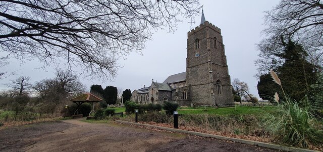
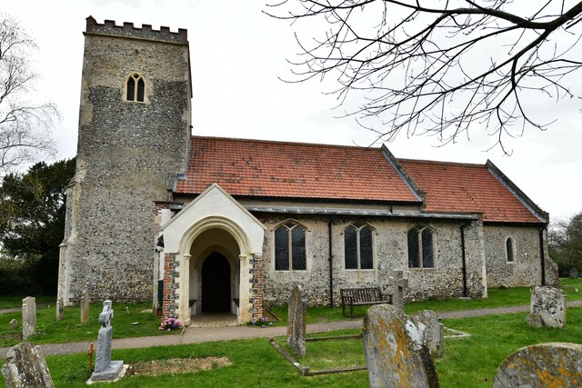
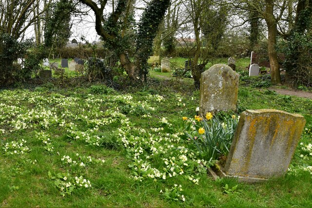
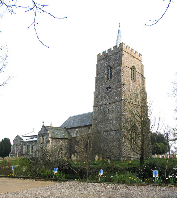
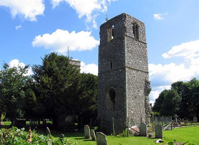
The village is characterized by its charming and historic architecture, with many buildings dating back several centuries. Beckhithe boasts a close-knit community, with a population of around 500 residents. The village is known for its friendly atmosphere and strong community spirit.

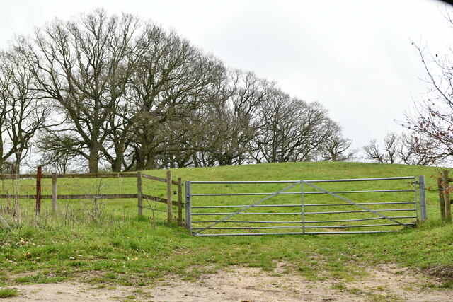
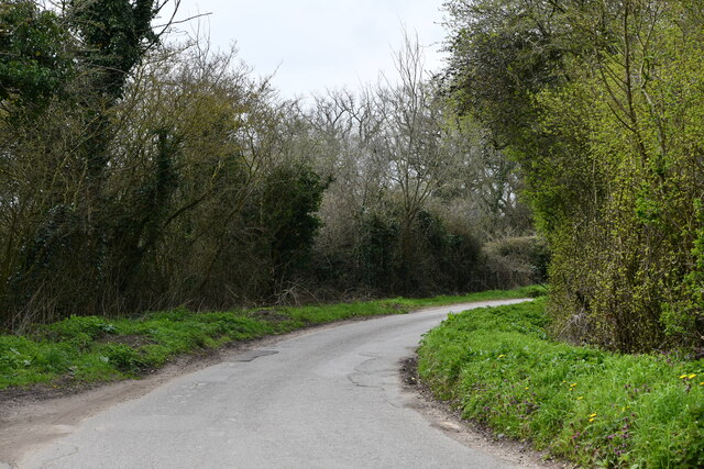
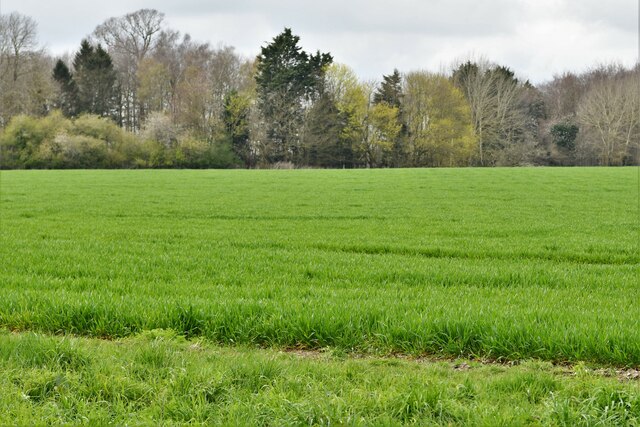
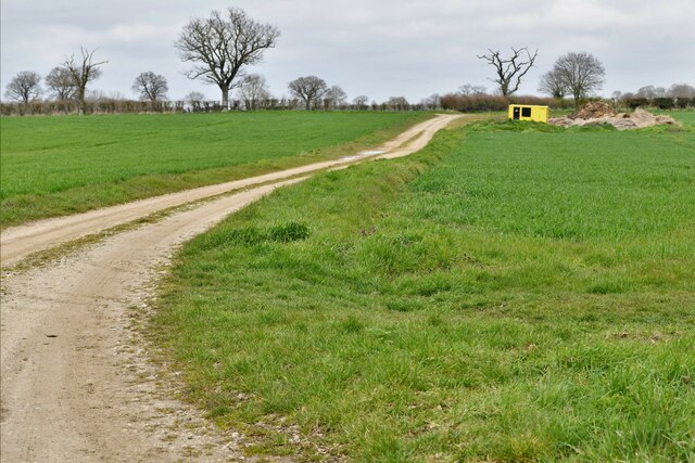
Surrounded by lush green fields and meandering waterways, Beckhithe is an ideal place for those seeking a peaceful and idyllic lifestyle. The village is situated near the River Yare, offering residents and visitors opportunities for boating, fishing, and scenic walks along the riverbanks.

In terms of amenities, Beckhithe has a local pub that serves as a popular meeting spot for both locals and visitors alike. However, for more extensive amenities and services, residents can easily access nearby towns and cities.

The village is well-connected to the wider region by road, with easy access to the A47 trunk road, providing convenient links to Norwich and other major cities. Public transportation options are also available, with regular bus services connecting Beckhithe to surrounding areas.

Overall, Beckhithe provides a peaceful and charming countryside living experience, offering a tight-knit community, picturesque surroundings, and easy access to nearby amenities and transportation links.

If you have any feedback on the listing, please let us know in the comments section below.
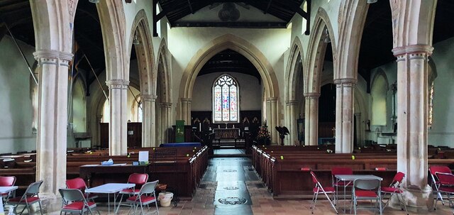
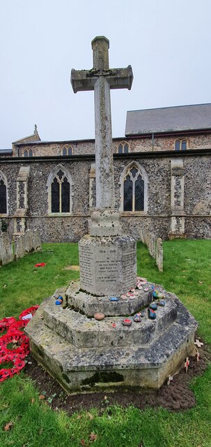
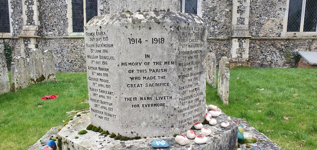
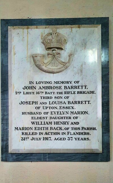
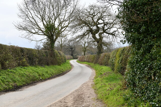
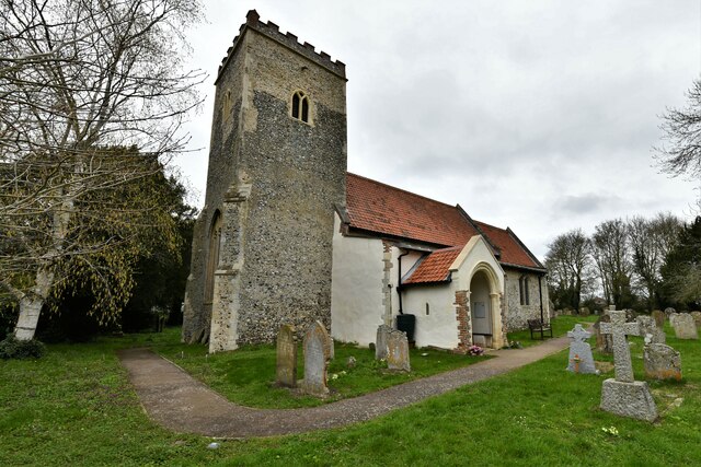
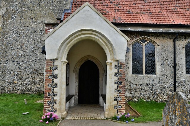
Beckhithe Images

Images are sourced within 2km of 52.612064/1.182019 or Grid Reference TG1506. Thanks to Geograph Open Source API. All images are credited.

St Remigius Church, Hethersett
Interior of St Remigius Church, Hethersett
War memorial in the grounds of St Remigius Church, Hethersett
Names on the Hethersett war memorial - 1
Names on the Hethersett war memorial - 2
Names on the Hethersett war memorial - 3
Names on the Hethersett war memorial - 4
Names on the Hethersett war memorial - 5
War memorial inside St Remigius Church, Hethersett
Great Melton, Market Lane
Little Melton,  St. Mary and All Saints Church: South western aspect
Little Melton, St. Mary and All Saints Church: South western aspect
Little Melton,  St. Mary and All Saints Church: South porch
Little Melton, St. Mary and All Saints Church: South porch
Little Melton,  St. Mary and All Saints Church: South aspect
Little Melton, St. Mary and All Saints Church: South aspect
Little Melton,  St. Mary and All Saints Church: A corner of the churchyard covered in primroses
Little Melton, St. Mary and All Saints Church: A corner of the churchyard covered in primroses
Great Melton: Gated grazing land
Great Melton, Market Lane
Great Melton: Looking towards a small wooded area
Great Melton: Farm track
Show me another place!

Beckhithe is located at Grid Ref: TG1506 (Lat: 52.612064, Lng: 1.182019)

Administrative County: Norfolk

District: South Norfolk

Police Authority: Norfolk

What 3 Words

///transmits.ridiculed.score. Near Hethersett, Norfolk

Related Wikis

Little Melton

Little Melton is a village on the outskirts of Norwich in the South Norfolk district of Norfolk, England. It covers an area of 2.75 km2 (1.06 sq mi) and...

Hethersett

Hethersett is a large village and electoral ward in the county of Norfolk, England, about 6 miles (10 km) south-west of Norwich. It covers an area of 4...

Hethersett Academy

Hethersett Academy, previously known as Hethersett High School and Science College, is a coeducational secondary school, part of the Inspiration Trust...

Norwich City F.C. Under-23s and Academy

Norwich City Under-21s and Academy is the youth organisation run by Norwich City F.C. The team is made up of under-21 and academy players and is effectively...

Great Melton

Great Melton is a civil parish in the English county of Norfolk. It covers an area of 10.24 km2 (3.95 sq mi) and had a population of 148 in 59 households...

Hethersett Old Hall School

Hethersett Old Hall School was an independent school located in Hethersett, Norfolk, England that educated around 180 boys and girls. It was a day school...

Bawburgh

Bawburgh () is a village and civil parish in the South Norfolk district of Norfolk, England, lying in the valley of the River Yare about 5 miles (8.0 km...

Norfolk and Norwich University Hospital

The Norfolk and Norwich University Hospital (NNUH) is a large National Health Service academic teaching hospital in the Norwich Research Park on the western...

Nearby Amenities

Located within 500m of 52.612064,1.182019
Power: tower
Ref: 4VV 201
Lat/Long: 52.6097349/1.184052
Power: tower
Ref: 4VV 200
Lat/Long: 52.6095752/1.1788897
Turning Circle
Lat/Long: 52.6161604/1.1844171
Brooks Factory, opp
Naptan AtcoCode: 2900H2251
Naptan Bearing: E
Naptan BusStopType: CUS
Naptan CommonName: Brooks Factory
Naptan Indicator: opp
Naptan Landmark: Brooks Factory
Naptan Locality: Hethersett
Naptan NaptanCode: nfoawjgm
Naptan PlusbusZoneRef: NRCH
Naptan Street: Little Melton Road
Naptan Verified: no
Source: naptan_import
Lat/Long: 52.6121369/1.1819678
Brooks Factory, adj
Naptan AtcoCode: 2900H2252
Naptan Bearing: W
Naptan BusStopType: CUS
Naptan CommonName: Brooks Factory
Naptan Indicator: adj
Naptan Landmark: Brooks Factory
Naptan Locality: Hethersett
Naptan NaptanCode: nfoawjgp
Naptan PlusbusZoneRef: NRCH
Naptan Street: Little Melton Road
Naptan Verified: no
Source: naptan_import
Lat/Long: 52.612095/1.1821864
Power: pole
Lat/Long: 52.6141529/1.1831966
Power: pole
Lat/Long: 52.6162364/1.180465
Power: pole
Lat/Long: 52.6102906/1.1867162
Location Transition: yes
Power: pole
Lat/Long: 52.611247/1.1827547
Power: pole
Lat/Long: 52.6163597/1.1834761
Power: pole
Lat/Long: 52.6120413/1.1822683
Power: pole
Lat/Long: 52.6163069/1.1819798
Power: pole
Lat/Long: 52.6152939/1.1833364
Power: pole
Lat/Long: 52.6133308/1.1814419
Power: pole
Lat/Long: 52.6103665/1.1885042
Location Transition: yes
Power: pole
Lat/Long: 52.6101814/1.1842533
Power: pole
Lat/Long: 52.6126953/1.1818679
Beckhithe
Place: hamlet
Lat/Long: 52.6112578/1.1808378
Grid Ref: TG 146 062
Hiking: yes
Horse: yes
Information: map
Operator: Natural England
Ref: AG00263978D / 28/657/0010
Tourism: information
Website: http://www.naturalengland.org.uk/
Lat/Long: 52.6144686/1.179774
Grid Ref: TG 146 062
Hiking: yes
Horse: yes
Information: map
Operator: Natural England
Ref: AG00263978D / 28/657/0010
Tourism: information
Website: http://www.naturalengland.org.uk/
Lat/Long: 52.6144695/1.1793093
Stop
Lat/Long: 52.6119181/1.1820427
Barrier: height_restrictor
Lat/Long: 52.6114536/1.1824122
Freshfields Studio
Office: company
Phone: +44 1603 812800
Website: http://www.abacustv.co.uk/
Lat/Long: 52.6147649/1.1854499
Power: pole
Lat/Long: 52.6125569/1.1797787
Power: pole
Transformer: distribution
Lat/Long: 52.6117951/1.17817
Power: pole
Lat/Long: 52.6112355/1.1761758
Power: pole
Lat/Long: 52.6077486/1.1819462
Power: pole
Lat/Long: 52.608506/1.1829011
Location Transition: yes
Power: pole
Lat/Long: 52.609309/1.1839042
Operator: GPSS
Pipeline: marker
Substance: oil
Support: pole
Lat/Long: 52.6124263/1.1847961
Operator: GPSS
Pipeline: marker
Substance: oil
Support: pole
Lat/Long: 52.6126038/1.1847317
Crossing
Crossing: unmarked
Crossing Island: no
Crossing Ref: zebra
Tactile Paving: no
Lat/Long: 52.6111019/1.1822576
Crossing
Crossing: unmarked
Crossing Island: no
Crossing Ref: zebra
Tactile Paving: no
Lat/Long: 52.6111393/1.1824246
Barrier: height_restrictor
Lat/Long: 52.6113526/1.1821045
Communication Mobile Phone: yes
Man Made: mast
Material: metal
Operator: O2-UK;Vodafone UK
Tower Construction: freestanding
Tower Type: communication
Lat/Long: 52.6097974/1.179083
The data included in this document is from www.openstreetmap.org. The data is made available under ODbL.

Have you been to Beckhithe?

Leave your review of Beckhithe below (or comments, questions and feedback).