Balmuchy

Settlement in Ross-shire

Scotland

Balmuchy

Greylag geese feeding near Cadboll
Greylag geese feeding near Cadboll Credit: sylvia duckworth

Balmuchy is a small rural village located in the county of Ross-shire, Scotland. Situated in the Scottish Highlands, Balmuchy is known for its picturesque countryside and stunning views of the surrounding mountains. The village is home to a tight-knit community of residents who take pride in their close connections and sense of community spirit.

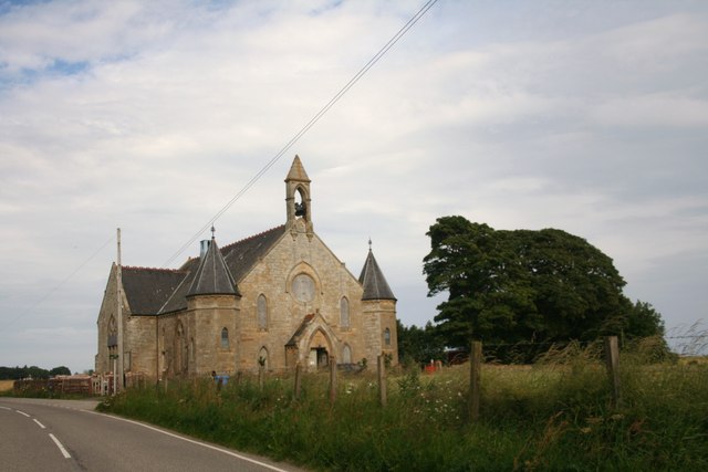
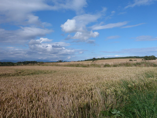
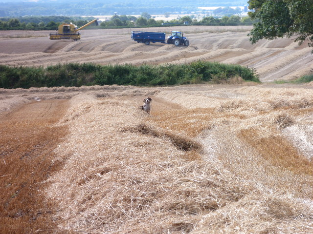
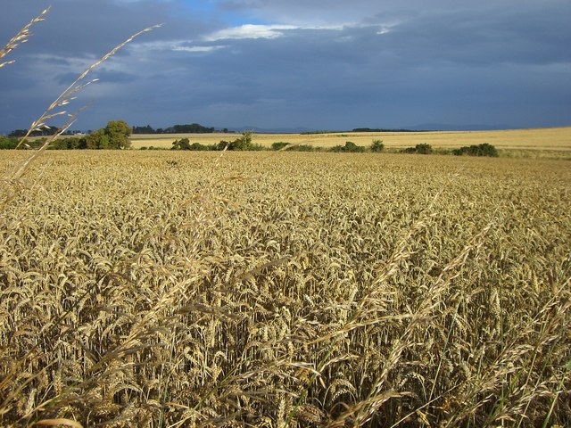
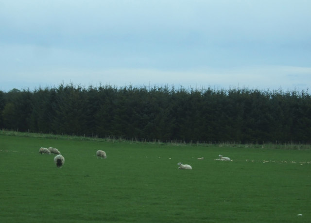
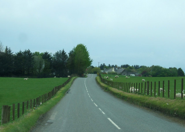
Balmuchy has a rich history, with evidence of settlements dating back to ancient times. The village is dotted with historic buildings and landmarks, including a charming parish church and a traditional village pub. The local economy is primarily based on agriculture and tourism, with many residents working in farming or hospitality.

Despite its small size, Balmuchy offers a range of amenities for residents and visitors, including a village hall, a convenience store, and a primary school. The village also boasts a number of walking and hiking trails, making it a popular destination for outdoor enthusiasts.

Overall, Balmuchy is a peaceful and idyllic village that offers a true taste of rural Scottish life.

If you have any feedback on the listing, please let us know in the comments section below.
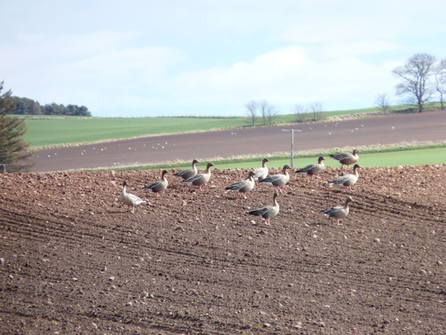
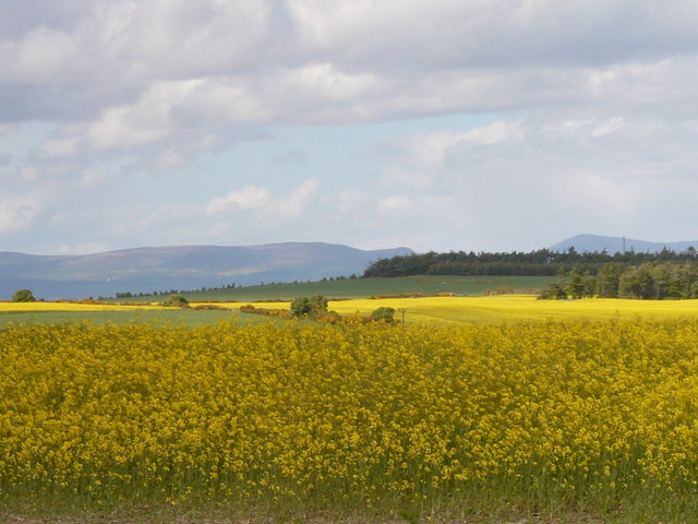
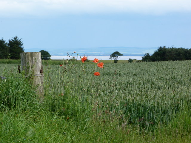
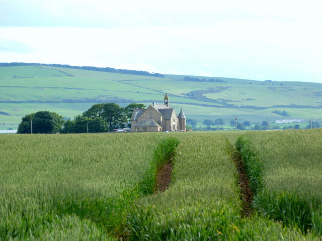
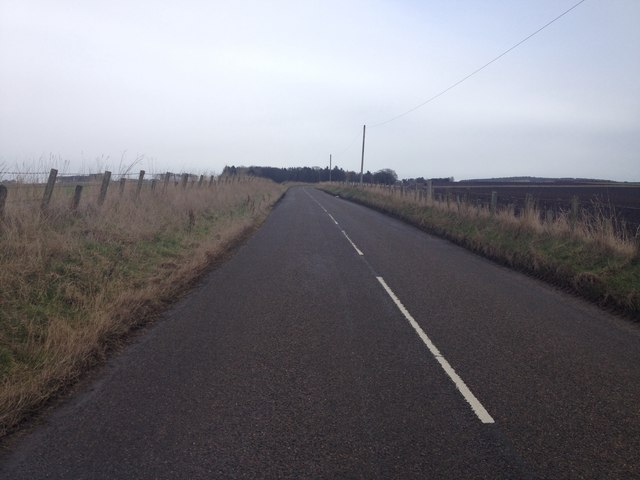
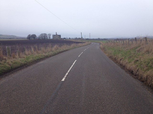
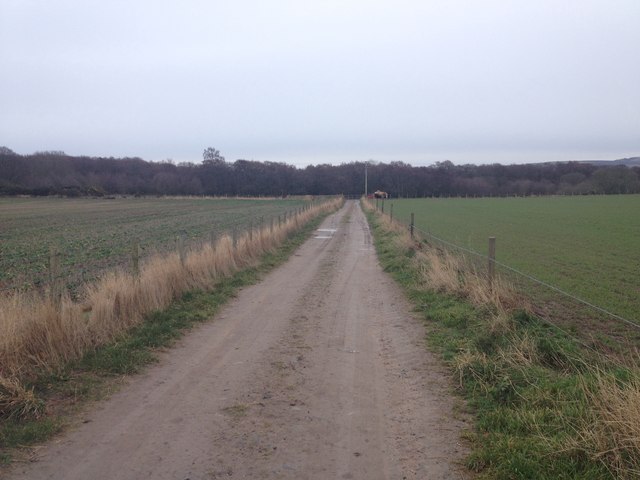
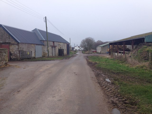
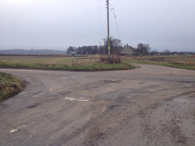
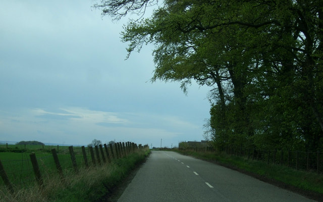
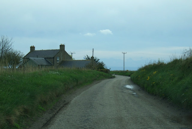
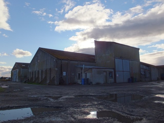
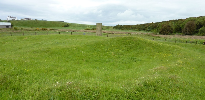
Balmuchy Images

Images are sourced within 2km of 57.782862/-3.9102816 or Grid Reference NH8678. Thanks to Geograph Open Source API. All images are credited.

Greylag geese feeding near Cadboll
Oilseed rape at Meikle Rhynie
Summer field at Cadboll
Cropland at Rhynie In the distance the old Fearn Free Church with Nigg Hill behind.
Cropland at Rhynie
In the distance the old Fearn Free Church with Nigg Hill behind.
Converted Church An imposing converted church on the B9165.
Converted Church
An imposing converted church on the B9165.
Golden grains near Cadboll
Dog and harvesters at Cadboll
Ready for harvest: Rhynie
B9165 near Fearn
B9165 near Fearn
B9165 near Fearn
B9165 near Fearn
Access track to Talich Nature Reserve
Road through Rhynie Farm
Road junction near Rhynie Farm
B9165 towards Hill of Fearn  Heading south west.
B9165 towards Hill of Fearn
Heading south west.
Grazing and woodland Near Pitkerrie.
Grazing and woodland
Near Pitkerrie.
B9165 near Pitkerrie Heading south west towards Hill of Fearn.
B9165 near Pitkerrie
Heading south west towards Hill of Fearn.
National Cycle Route 1, Alderbank Heading south towards Hilton of Cadboll.
National Cycle Route 1, Alderbank
Heading south towards Hilton of Cadboll.
Quarry buildings near Balaldie
Show me another place!

Balmuchy is located at Grid Ref: NH8678 (Lat: 57.782862, Lng: -3.9102816)

Unitary Authority: Highland

Police Authority: Highlands and Islands

What 3 Words

///model.outboard.weds. Near Balintore, Highland

Nearby Locations

Balmuchy

Related Wikis

Hilton of Cadboll Stone

The Hilton of Cadboll Stone is a Class II Pictish stone discovered at Hilton of Cadboll, on the East coast of the Tarbat Peninsula in Easter Ross, Scotland...

Hilton of Cadboll Chapel

The Hilton of Cadboll Chapel is the remains of a medieval chapel dedicated to the Virgin Mary. The chapel is located in Hilton of Cadboll, a village in...

Hilton of Cadboll

Hilton of Cadboll, or simply Hilton, (Scottish Gaelic: Baile a' Chnuic) is a village about 15 km (9 mi) southeast of Tain in Easter Ross, in the Scottish...

Loch Slin Castle

Loch Slin Castle (sometimes spelt Lochslin) is a ruined castle near Fearn, Highland, Scotland. From the 15th to 17th centuries it was the seat of the Vass...

Nearby Amenities

Located within 500m of 57.782862,-3.9102816
Bus Stop
Balmuchy Crossroads
Naptan AtcoCode: 6700712473
Naptan Bearing: NE
Naptan CommonName: Balmuchy Crossroads
Naptan Indicator: opp Works
Naptan Landmark: Crossroads
Naptan NaptanCode: 45327848
Naptan Street: B9165
Naptan Verified: no
Source: naptan_import
Lat/Long: 57.7846656/-3.9113355
Bus Stop
Balmuchy Crossroads
Naptan AtcoCode: 6700712473A
Naptan Bearing: SW
Naptan CommonName: Balmuchy Crossroads
Naptan Indicator: o/s Works
Naptan Landmark: Crossroads
Naptan NaptanCode: 45329389
Naptan Street: B9165
Naptan Verified: no
Source: naptan_import
Lat/Long: 57.7837058/-3.9112343
Parking
Lat/Long: 57.7835878/-3.9121511
Power: pole
Lat/Long: 57.7837063/-3.911204
Power: pole
Lat/Long: 57.7837377/-3.9115328
Power: pole
Lat/Long: 57.7838394/-3.9129735
Power: pole
Lat/Long: 57.7840017/-3.9137669
Power: pole
Lat/Long: 57.7841996/-3.9147267
Power: pole
Lat/Long: 57.7844073/-3.9157312
Power: pole
Lat/Long: 57.7846075/-3.9166849
Power: pole
Lat/Long: 57.7791246/-3.907797
The data included in this document is from www.openstreetmap.org. The data is made available under ODbL.

Have you been to Balmuchy?

Leave your review of Balmuchy below (or comments, questions and feedback).