Balinoe
Settlement in Ross-shire
Scotland
Balinoe
Balinoe is a small village located in the county of Ross-shire, in the Highlands of Scotland. Situated on the western coast, this peaceful settlement is surrounded by breathtaking natural beauty. With a population of around 300 residents, Balinoe offers a close-knit community atmosphere.
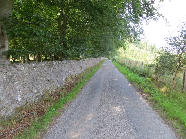
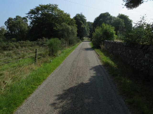
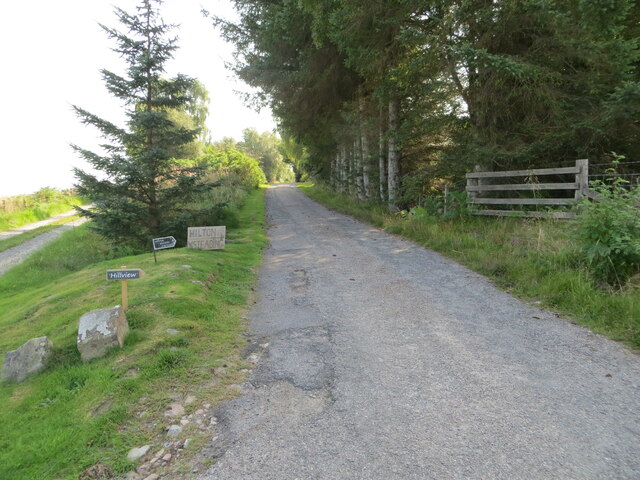
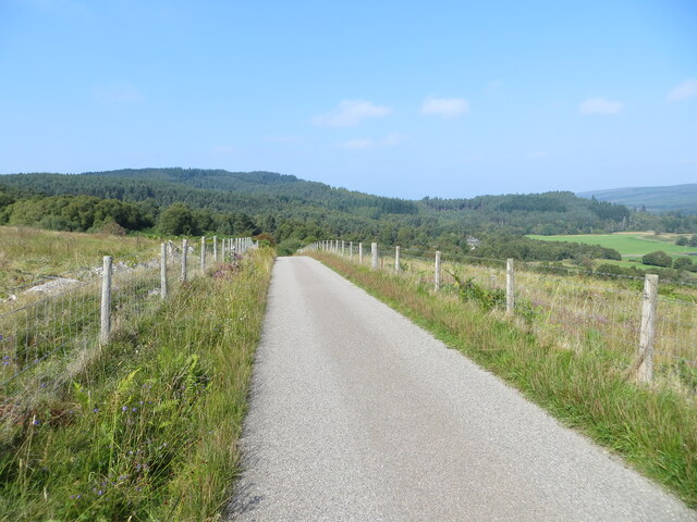
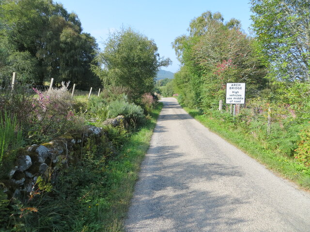
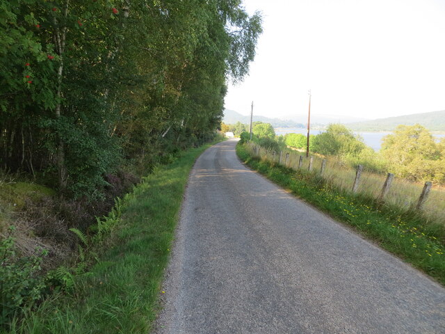
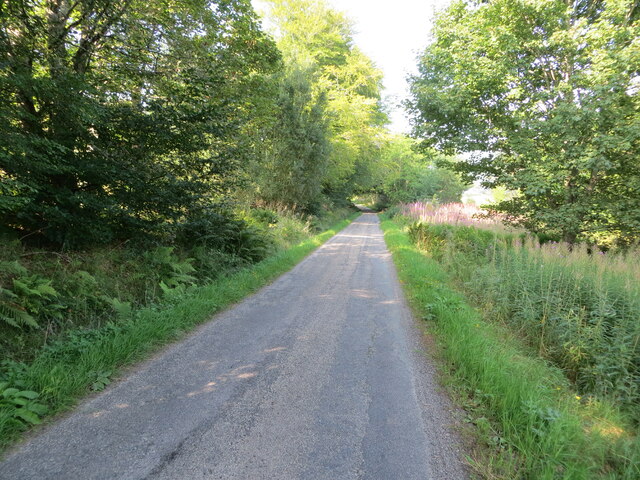
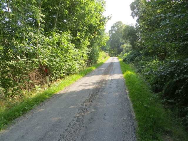
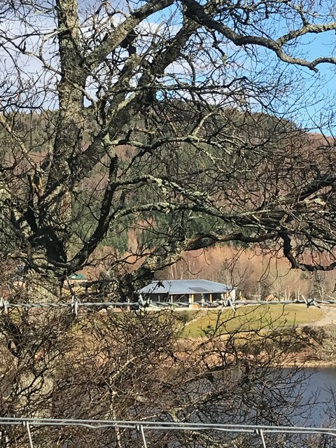
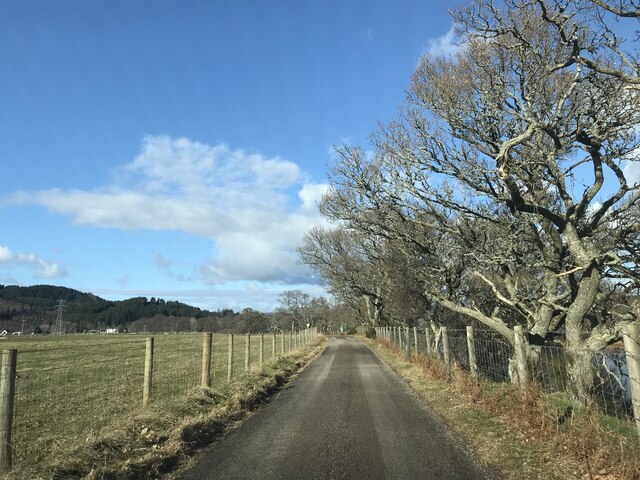
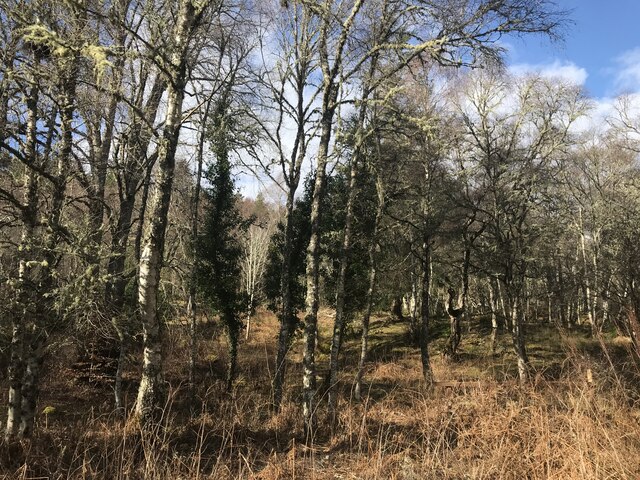
The village is known for its picturesque landscapes, with rolling hills, lush green fields, and stunning views of the nearby Loch Duich. The area is a haven for nature enthusiasts, offering numerous opportunities for outdoor activities such as hiking, fishing, and birdwatching. The nearby Glenelg Forest provides ample trails for exploring the local flora and fauna.
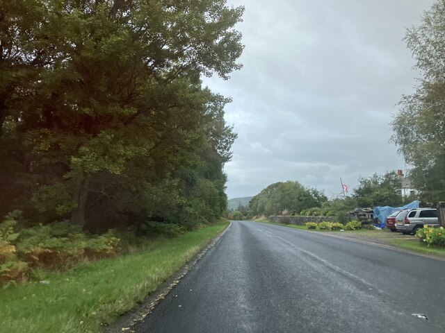
Despite its rural setting, Balinoe is conveniently located within a short drive of other larger towns, such as Kyle of Lochalsh and Plockton, where residents can find essential amenities, including shops, schools, and healthcare facilities. The village itself has a small local shop and a pub, offering a comfortable and welcoming environment for residents and visitors alike.
Historically, Balinoe has strong ties to the Gaelic language and culture, with many residents still speaking the language today. The village has a rich heritage, with ancient ruins and archaeological sites scattered throughout the area, providing a glimpse into its past.
Overall, Balinoe is a tranquil and idyllic village that offers a close connection to nature, a strong sense of community, and a deep appreciation for its cultural heritage.
If you have any feedback on the listing, please let us know in the comments section below.
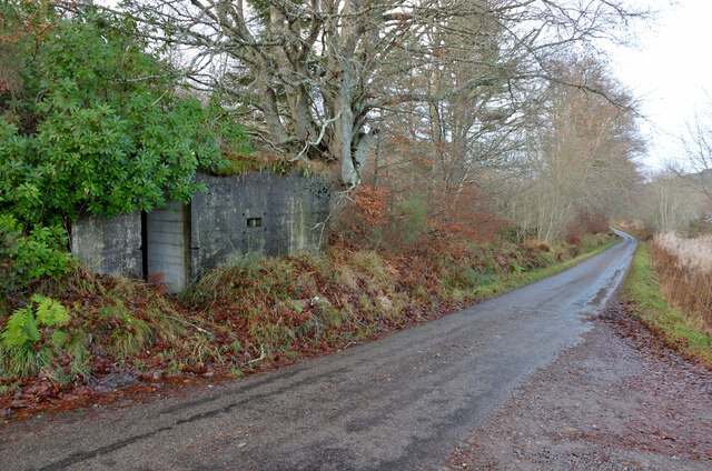
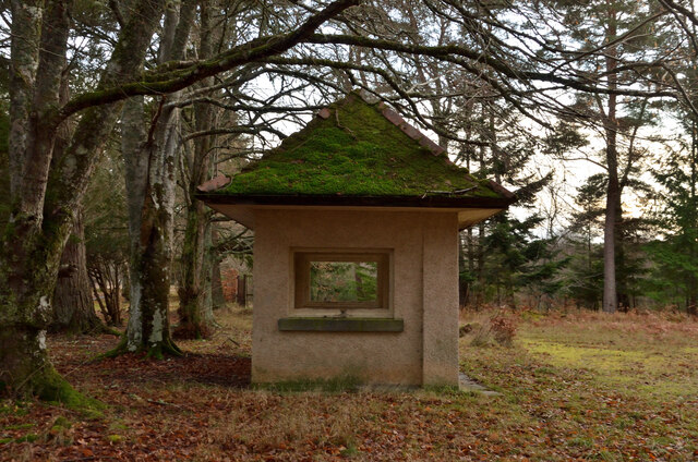
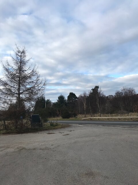
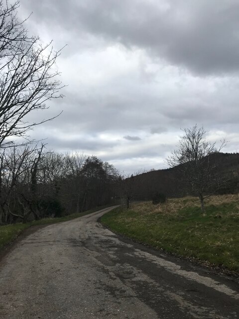
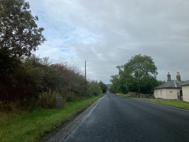
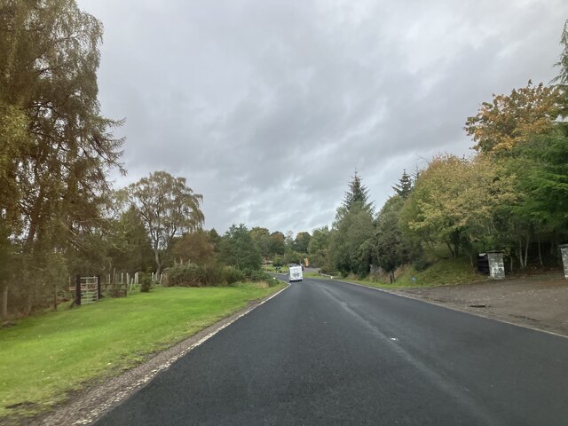
Balinoe Images
Images are sourced within 2km of 57.908657/-4.3962356 or Grid Reference NH5893. Thanks to Geograph Open Source API. All images are credited.
Balinoe is located at Grid Ref: NH5893 (Lat: 57.908657, Lng: -4.3962356)
Unitary Authority: Highland
Police Authority: Highlands and Islands
What 3 Words
///angry.flick.fool. Near Lairg, Highland
Nearby Locations
Related Wikis

Culrain railway station
Culrain railway station serves the village of Culrain in Kyle of Sutherland in the Highland council area of Scotland. It is located on the Far North Line...

Culrain
Culrain (Cul Raoin) is a small village in Sutherland, Highland, Scotland. == Location == Culrain lies west of Ardgay, beside the Kyle of Sutherland about...
Battle of Carbisdale
The Battle of Carbisdale (also known as Invercarron) took place close to the village of Culrain, Sutherland, Scotland on 27 April 1650 and was part of...

Shin Railway Viaduct
The Shin Railway Viaduct (also known as the Invershin Viaduct or Oykel Viaduct) is a railway viaduct that crosses the Kyle of Sutherland.The viaduct carries...

Invershin
Invershin (Scottish Gaelic: Inbhir Sin) is a scattered village in the Parish of Creich, 6 miles (10 km) south of Lairg and 4 miles (6.4 km) north of Bonar...

Invershin railway station
Invershin railway station is a railway station in the Highland council area of Scotland. The station is on the Far North Line, 61 miles 34 chains (98.9...

Kyle of Sutherland
The Kyle of Sutherland (Scottish Gaelic: An Caol Catach) is a river estuary that separates Sutherland from Ross-shire. It flows into the Dornoch Firth...

Carbisdale Castle
Carbisdale Castle was built in 1907 for the Duchess of Sutherland on a hill across the Kyle of Sutherland from Invershin in the Scottish Highlands. Until...
Related Videos

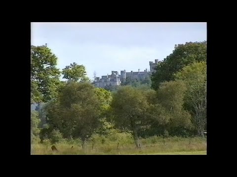
1993 08 15 AS Scotland Tour Day 11
The eleventh day of South Dartmoor CTC's epic cycling tour of Scotland started from Achmelvich youth hostel and took us across ...
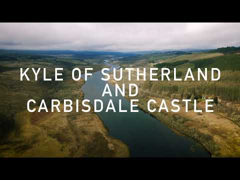
Kyle Of Sutherland and Carbisdale Castle. Scottish Highlands. 4K Drone footage.
The Kyle of Sutherland is a river estuary that separates Sutherland from Ross-shire. Carbisdale Castle was built in 1907 for the ...
Nearby Amenities
Located within 500m of 57.908657,-4.3962356Have you been to Balinoe?
Leave your review of Balinoe below (or comments, questions and feedback).