Baligill

Settlement in Sutherland

Scotland

Baligill

Shorn sheep and slabstones at Baligill The slabstones are frequently used as 'hedges' in Sutherland but these would not keep in the livestock!
Shorn sheep and slabstones at Baligill Credit: Greg Fitchett

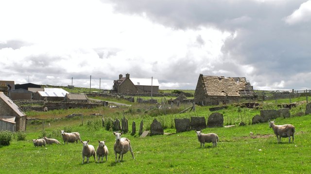
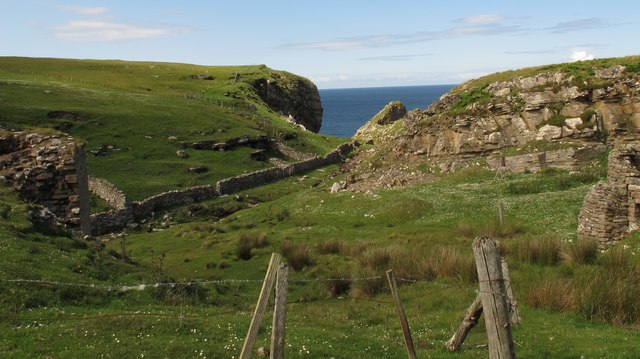
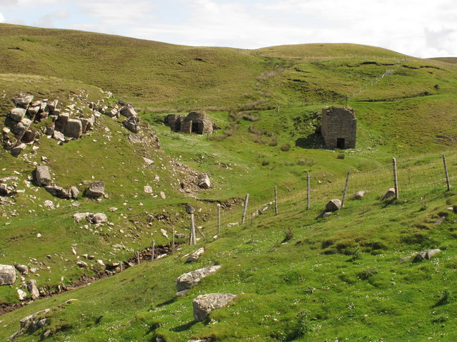
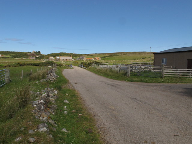
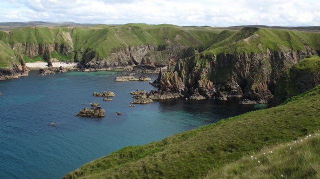
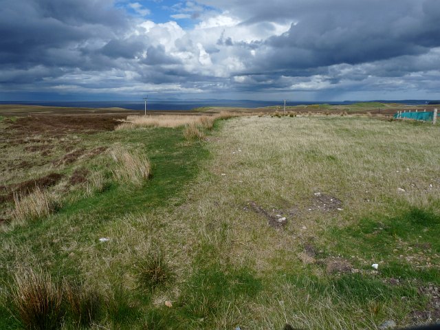
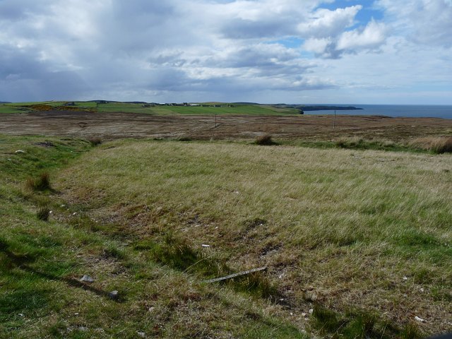
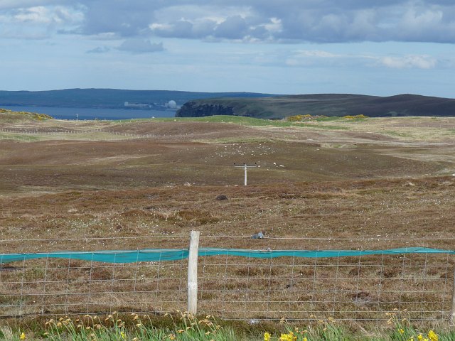
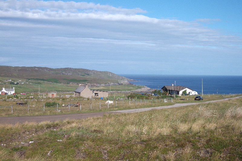
Baligill is a small village located in the county of Sutherland, in the northern part of Scotland. Situated in the Highlands, it is nestled amongst breathtaking landscapes and offers a tranquil and idyllic setting. The village is situated on the eastern shore of Loch Naver, a picturesque freshwater loch, and is surrounded by impressive hills and mountains.

With a population of just over 100 residents, Baligill is a close-knit community where people enjoy a calm and peaceful way of life. The village is known for its stunning natural beauty, with the nearby Ben Loyal mountain being a popular destination for hikers and nature enthusiasts. The surrounding area is rich in wildlife, including red deer, golden eagles, and otters.

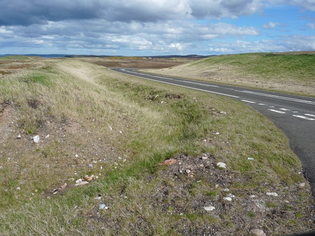
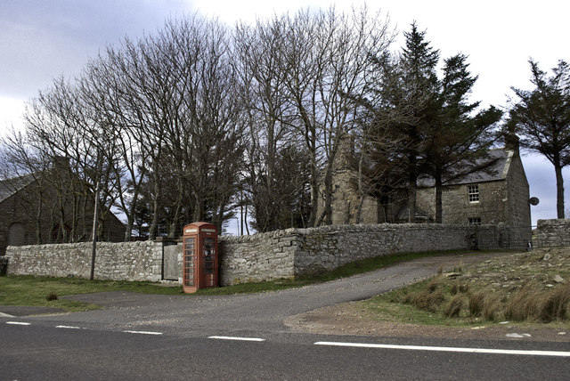
Despite its small size, Baligill offers a few amenities to its residents. There is a local primary school, ensuring that young families have access to education within the village. The nearest town, Tongue, is about 12 miles away and provides additional services such as shops, a post office, and a medical center.

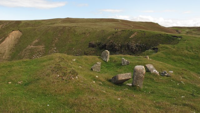
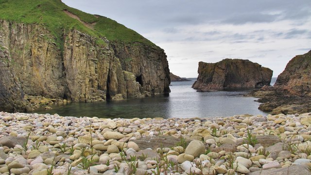
The village is also a popular destination for tourists seeking a serene and off-the-beaten-path experience. Visitors can enjoy activities such as fishing, boating, and walking in the beautiful countryside. The nearby ruins of Castle Varrich, perched on a hilltop overlooking the village, also attract history enthusiasts.

Overall, Baligill is a hidden gem in the Scottish Highlands, offering a peaceful and picturesque retreat for both residents and visitors alike.

If you have any feedback on the listing, please let us know in the comments section below.
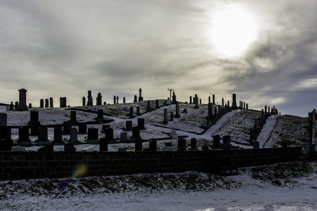
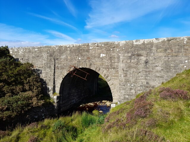
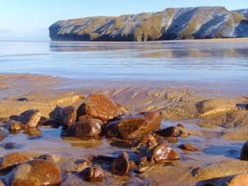
Baligill Images

Images are sourced within 2km of 58.563047/-3.9709594 or Grid Reference NC8565. Thanks to Geograph Open Source API. All images are credited.

Shorn sheep and slabstones at Baligill The slabstones are frequently used as 'hedges' in Sutherland but these would not keep in the livestock!
Shorn sheep and slabstones at Baligill
The slabstones are frequently used as 'hedges' in Sutherland but these would not keep in the livestock!
An Dun fort at Baligill There are several ancient forts along the sea cliffs between Strathy and Portskerra and this one is close to the limekilns near Baligill.
An Dun fort at Baligill
There are several ancient forts along the sea cliffs between Strathy and Portskerra and this one is close to the limekilns near Baligill.
Limekilns at Baligill Burn Two limekilns are situated in the lower end of the Baligill Burn where it enters the sea. One is circular (at right) and the other, more recent one is rectangular (at left of photo).
Limekilns at Baligill Burn
Two limekilns are situated in the lower end of the Baligill Burn where it enters the sea. One is circular (at right) and the other, more recent one is rectangular (at left of photo).
Limekilns in Baligill Burn The circular kiln was built c.1820 and the rectangular kiln c.1850.
Limekilns in Baligill Burn
The circular kiln was built c.1820 and the rectangular kiln c.1850.
Looking towards Strathy The small bridge ahead crosses the Allt na Ceardaich burn.
Looking towards Strathy
The small bridge ahead crosses the Allt na Ceardaich burn.
Cliff scenery at Portskerra Two small burns, the Alltan Domhaich and the Allt na Cleite, plunge down spectacular ravines to the sea at this large cove. An ancient fort is situated on one of these narrow headlands and a Peregrine was devouring its kill there during my visit.
Cliff scenery at Portskerra
Two small burns, the Alltan Domhaich and the Allt na Cleite, plunge down spectacular ravines to the sea at this large cove. An ancient fort is situated on one of these narrow headlands and a Peregrine was devouring its kill there during my visit.
View to the north-east  from the A836 near Portskerra The coastline of the Orkney Islands can be seen on the horizon.
View to the north-east from the A836 near Portskerra
The coastline of the Orkney Islands can be seen on the horizon.
The A836 approaching Portskerra from the west
View towards Baligill Green fields and the hamlet of Baligall on the horizon are in contrast to the bleak acid moorland in the foreground.
View towards Baligill
Green fields and the hamlet of Baligall on the horizon are in contrast to the bleak acid moorland in the foreground.
View near Portskerra The area of acid moorland in the foreground has been fenced off to protect the habitat. The now closed Dounreay nuclear power station can be seen in the distance.
View near Portskerra
The area of acid moorland in the foreground has been fenced off to protect the habitat. The now closed Dounreay nuclear power station can be seen in the distance.
Berry Geo near Portskerra This small cove lies immediately to the west of the Ruhba Ghoiridh headland. The boulder beach is accessible on foot with care down a steep, grassy bank.
Berry Geo near Portskerra
This small cove lies immediately to the west of the Ruhba Ghoiridh headland. The boulder beach is accessible on foot with care down a steep, grassy bank.
Phone box at Strathy
Strathy Bay East Taken at the east end of Strathy Bay, looking towards Strathy Point
Strathy Bay East
Taken at the east end of Strathy Bay, looking towards Strathy Point
The road to Balligill Single track road from the A836 to Baligill
The road to Balligill
Single track road from the A836 to Baligill
Messy lay-by on the A836 Litter-bins cause litter!  Possibly the wind, or seagulls attacking lidless bins, but a real mess, none the less, and an unusual sight in the normally tidy North of Scotland.
Messy lay-by on the A836
Litter-bins cause litter! Possibly the wind, or seagulls attacking lidless bins, but a real mess, none the less, and an unusual sight in the normally tidy North of Scotland.
Approaching Strathy from the east
Strathy Graveyard
Strathy Graveyard
Bridge over Allt na Cleite A handsome stone bridge over a wee burn. The rusting frame of a bicycle is hanging from it.
Bridge over Allt na Cleite
A handsome stone bridge over a wee burn. The rusting frame of a bicycle is hanging from it.
Show me another place!

Baligill is located at Grid Ref: NC8565 (Lat: 58.563047, Lng: -3.9709594)

Unitary Authority: Highland

Police Authority: Highlands and Islands

What 3 Words

///richest.means.flippers. Near Reay, Highland

Nearby Locations

Baligill

Related Wikis

Portskerra

Portskerra (from Scottish Gaelic Port Sgeire 'skerry harbour') is a hamlet that overlooks Melvich Bay in Sutherland, Highland, Scotland. The village of...

Strathy

Strathy (from Scottish Gaelic Srathaidh 'place of the strath') is a scattered community in Sutherland in the Scottish Highlands. The settlement emerged...

Melvich

Melvich (from Norse Mel Vik – "sand dune bay" – rendered into Scottish Gaelic: A' Mhealbhaich) is a village in the county of Sutherland on the north coast...

Totegan

Totegan is a hamlet in Sutherland, Scotland and is one of the most northerly settlements in mainland Scotland. The nearest main road to the hamlet is the...

Aultiphurst

Aultiphurst (Scottish Gaelic: Allt a' Phuirt), in Strathy, Sutherland, is a village in the Scottish HighlandsThe name Aultiphurst is a misspelling of Allt...

Lednagullin

Lednagullin is a village on the south east shore of Armadale Bay in Sutherland, Scottish Highlands and is in the Scottish council area of Highland....

Armadale, Sutherland

Armadale (Scottish Gaelic: Armadal, Scots: Airmadale) is a small village on the north coast of Scotland, in the council area of Highland. The village is...

Upper Bighouse

Upper Bighouse is a remote linear crofting township, which lies on the west bank of the Halladale River in the former county of Sutherland. It is now in...

Related Videos

Portskerra

Portskerra never disappoints, class day with good viz and flat water. So much more caves to explore here. Will be back up there ...

Walking through thick snow in wellies in Strathy Scotland

Crunching through the snow in Strathy Scotland over Xmas time.

Wearing Wellies On Thick ice in Strathy Scotland

Testing out the strength of the ice on a frozen patch out in the depths of Strathy in the very north of Scotland. She didn't fall in or off, ...

Portskerra Fishing Competion

The boats returning to Portskerra Silpway after competing in the 2019 fishing competition.

Nearby Amenities

Located within 500m of 58.563047,-3.9709594
Bus Stop
Lat/Long: 58.5593715/-3.9747905
Strathroy
Place: isolated_dwelling
Lat/Long: 58.5601612/-3.9744592
Passing Place
Lat/Long: 58.5590503/-3.9739989
Power: pole
Lat/Long: 58.5640385/-3.9784193
Power: pole
Lat/Long: 58.5639932/-3.9771133
Power: pole
Lat/Long: 58.5639541/-3.9758941
Power: pole
Lat/Long: 58.5639038/-3.974617
Power: pole
Lat/Long: 58.5638597/-3.9733013
Power: pole
Lat/Long: 58.5638194/-3.9720459
Power: pole
Lat/Long: 58.5637628/-3.9704188
Power: pole
Lat/Long: 58.5637489/-3.9697815
Power: pole
Lat/Long: 58.5636897/-3.9679708
Power: pole
Lat/Long: 58.5636457/-3.9668096
Power: pole
Lat/Long: 58.5635966/-3.9655784
Power: pole
Lat/Long: 58.5635638/-3.9643858
Power: pole
Lat/Long: 58.5635198/-3.9631618
Power: pole
Lat/Long: 58.5666781/-3.975095
Power: pole
Lat/Long: 58.5662274/-3.9745011
Power: pole
Lat/Long: 58.5657162/-3.9738228
Power: pole
Lat/Long: 58.5652378/-3.9732072
Power: pole
Lat/Long: 58.5647278/-3.9725312
Power: pole
Lat/Long: 58.564301/-3.9719759
The data included in this document is from www.openstreetmap.org. The data is made available under ODbL.

Have you been to Baligill?

Leave your review of Baligill below (or comments, questions and feedback).