Balblair

Settlement in Ross-shire

Scotland

Balblair

Falls in Inverlael Forest
Falls in Inverlael Forest Credit: Dave Thompson

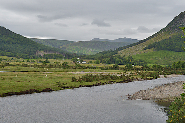
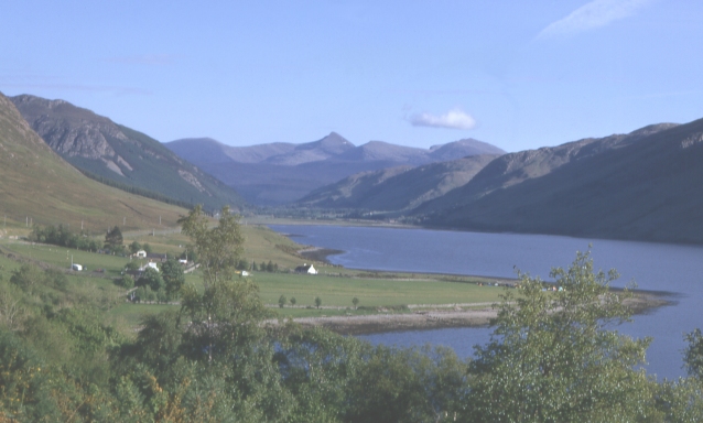
Balblair is a small village located in the historic county of Ross-shire, in the Scottish Highlands. Situated on the southern shore of the Dornoch Firth, it lies approximately 4 miles northeast of the town of Tain. With a population of around 500 residents, Balblair is a close-knit community known for its picturesque beauty and tranquil surroundings.

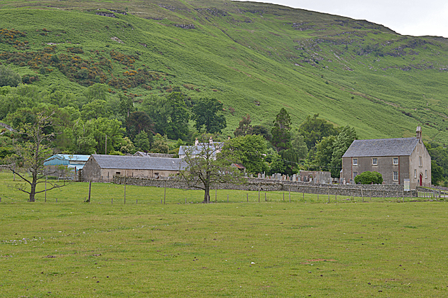
The village is steeped in history, with its origins dating back to the 18th century. It was originally established as a fishing and farming settlement, and remnants of its past can still be seen in the traditional architecture of the village buildings. Balblair House, a prominent landmark, is a fine example of Georgian architecture and is a testament to the village's rich heritage.

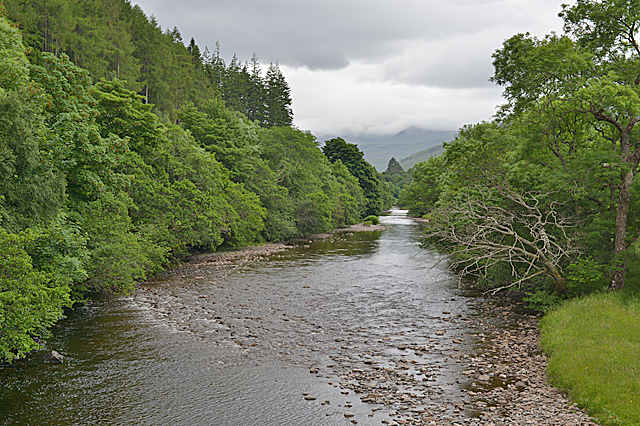
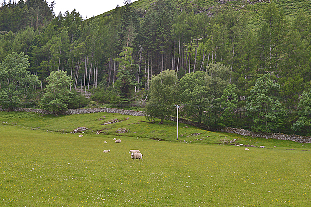
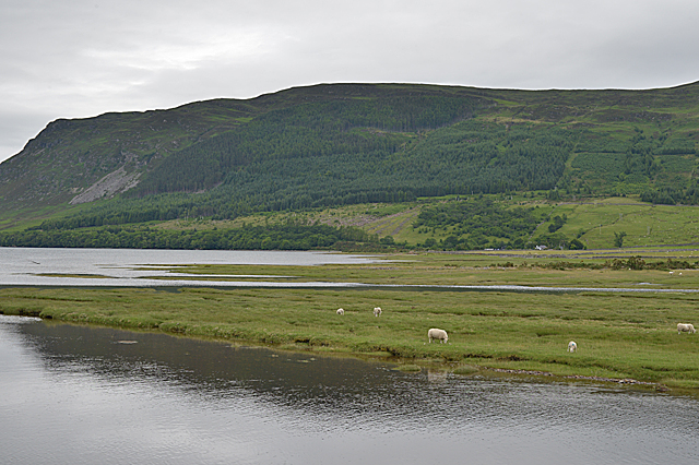
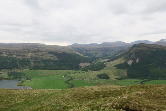
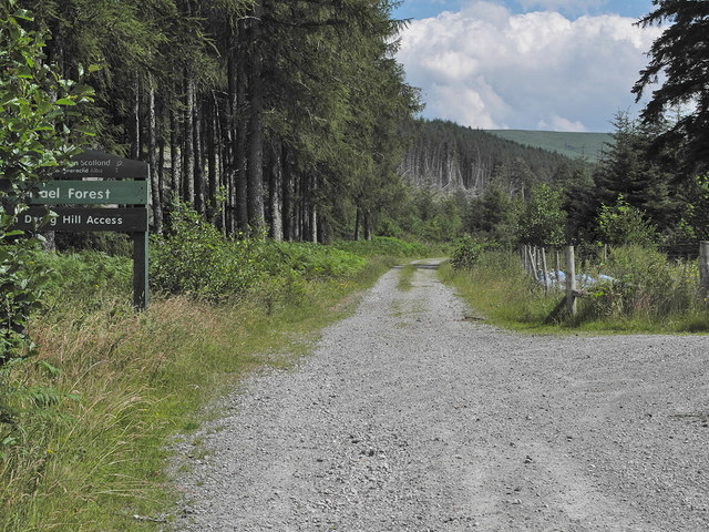
The natural surroundings of Balblair are a major attraction for visitors. The village is nestled amidst rolling hills, offering breathtaking views of the surrounding countryside. The nearby Balblair Woods provide an ideal setting for outdoor enthusiasts, with numerous walking trails and paths to explore.

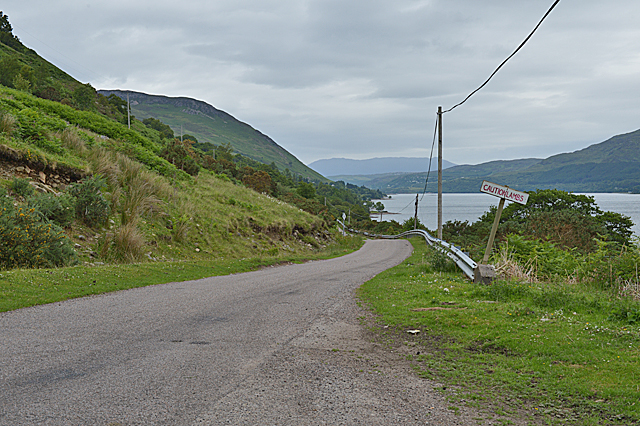
Despite its small size, Balblair offers a range of amenities to its residents and visitors. These include a local primary school, a village hall, and a community park. The village is also well-connected, with regular bus services to nearby towns and villages.

In recent years, Balblair has garnered attention for its thriving whisky distillery. Balblair Distillery, established in 1790, produces internationally acclaimed single malt Scotch whisky. The distillery offers tours and tastings, attracting whisky enthusiasts from around the world.

Overall, Balblair is a charming village that combines its rich history, stunning natural beauty, and a sense of community, making it an appealing destination for those seeking a peaceful retreat in the heart of the Scottish Highlands.

If you have any feedback on the listing, please let us know in the comments section below.
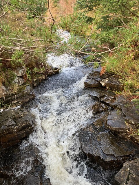
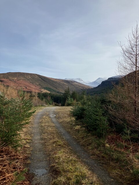
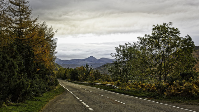
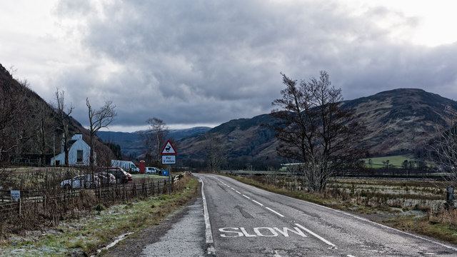
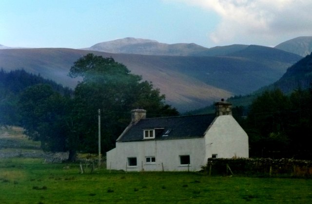
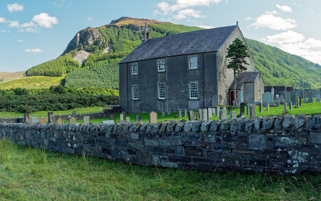
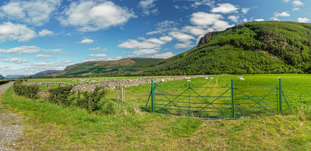
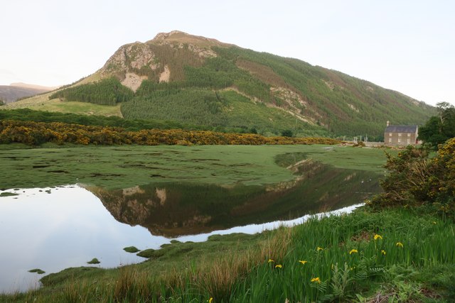
Balblair Images

Images are sourced within 2km of 57.822356/-5.0629172 or Grid Reference NH1885. Thanks to Geograph Open Source API. All images are credited.

Falls in Inverlael Forest
Path in Inverlael Forest
Looking south along the A835 towards the Fannichs
Looking south from near Inverlael Bridge
The River Broom at Inverbroom Bridge
Field and forestry near Auchlunachan
Clachan from the south east Looking towards the compact community with its small kirk and graveyard.
Clachan from the south east
Looking towards the compact community with its small kirk and graveyard.
Saltings at the head of Loch Broom
The River Broom approaching Loch Broom The house at Inverlael can be seen in the distance, with Gleann na Squaib behind, and Eididh nan Clach Geala on the horizon.
The River Broom approaching Loch Broom
The house at Inverlael can be seen in the distance, with Gleann na Squaib behind, and Eididh nan Clach Geala on the horizon.
The road to Letters With Loch Broom on the right.
The road to Letters
With Loch Broom on the right.
New walkers' car park at Inverlael A welcome addition. Prior to this you had to try to find a spot on the narrow road over the old bridge; a bit of the road is visible on the right of this picture.
New walkers' car park at Inverlael
A welcome addition. Prior to this you had to try to find a spot on the narrow road over the old bridge; a bit of the road is visible on the right of this picture.
The A835 approaching the Letters turn
Grey House at Inverlael Viewed from the A835. Mountains of Beinn Dearg visible in background.
Grey House at Inverlael
Viewed from the A835. Mountains of Beinn Dearg visible in background.
Lochbroom Church - Clachan Church of Scotland Lochbroom church and burial ground, Mac' us Màthair the hill in the background.
Lochbroom Church - Clachan
Church of Scotland Lochbroom church and burial ground, Mac' us Màthair the hill in the background.
Fields below Mac' us Màthair
Clachan Church Clachan Church overlooks the upper reaches of Loch Broom.
Clachan Church
Clachan Church overlooks the upper reaches of Loch Broom.
Valley's edge, above Clachan Looking towards Gleann na Sguaib on the far side. The Inverbroom road is in the middle distance.
Valley's edge, above Clachan
Looking towards Gleann na Sguaib on the far side. The Inverbroom road is in the middle distance.
Forestry track at the entrance to Lael Forest A popular route to the Beinn Dearg group of mountains.
Forestry track at the entrance to Lael Forest
A popular route to the Beinn Dearg group of mountains.
Show me another place!

Balblair is located at Grid Ref: NH1885 (Lat: 57.822356, Lng: -5.0629172)

Unitary Authority: Highland

Police Authority: Highlands and Islands

What 3 Words

///specifies.charmingly.returns. Near Ullapool, Highland

Nearby Locations

Balblair

Related Wikis

Inverlael

Inverlael is a hamlet on the southern tip of Loch Broom in Ross-shire in the Highland council area in Scotland. It is located on the A835 main road 6 miles...

Ardcharnich

Ardcharnich (; Scottish Gaelic: Àird Cheatharnaich) is a crofting township in the parish of Loch Broom, Wester Ross in the Highland, within the Scottish...

Letters, Wester Ross

Letters (Scottish Gaelic: An Leitir) is a village on the south west shore of Loch Broom, in Garve, Ross-shire, Scottish Highlands and is in the Scottish...

Ardindrean

Ardindrean (Scottish Gaelic: Àird an Dreaghainn) is a small hamlet, located on the west shore of Loch Broom in Garve, Ross-shire and is within the Highland...

Ross-shire

Ross-shire (; Scottish Gaelic: Siorrachd Rois) is a historic county in the Scottish Highlands. The county borders Sutherland to the north and Inverness...

Blarnalearoch

Blarnalearoch is a remote crofting township situated on the west shore of Loch Broom in Garve, Ross-shire, Scottish Highlands and is in the Scottish council...

Auchindrean

Auchindrean (Scottish Gaelic: Achadh an Dreaghainn) is a small settlement close to the southern end of Loch Broom in Wester Ross, in the Highland council...

Leckmelm

Leckmelm (Scottish Gaelic: Leac Mailm) is a small settlement on the eastern shore of Loch Broom, in Wester Ross in the Highland council area of Scotland...

Nearby Amenities

Located within 500m of 57.822356,-5.0629172
Source: PGS
Lat/Long: 57.8261495/-5.0668309
Source: PGS
Lat/Long: 57.8260168/-5.0675209
Source: PGS
Lat/Long: 57.8248404/-5.0693669
Source: PGS
Lat/Long: 57.8243014/-5.069094
Source: PGS
Lat/Long: 57.8239415/-5.0695004
Source: PGS
Lat/Long: 57.8234265/-5.0704551
Source: PGS
Lat/Long: 57.8230354/-5.0710643
Source: PGS
Lat/Long: 57.8226414/-5.0710043
Source: PGS
Lat/Long: 57.8220814/-5.0711989
Inverlael
Name En: Inverlael
Name Gd: Inbhir Làthail
Place: hamlet
Lat/Long: 57.8205371/-5.0615988
Telephone
Booth: K6
Covered: booth
Lat/Long: 57.8197665/-5.0624763
Power: pole
Lat/Long: 57.8219121/-5.0554329
Power: pole
Lat/Long: 57.8218664/-5.0566238
Power: pole
Lat/Long: 57.8216793/-5.0573319
Power: pole
Lat/Long: 57.8191637/-5.0571924
Power: pole
Lat/Long: 57.8202266/-5.0573668
Power: pole
Lat/Long: 57.8210236/-5.0574794
Power: pole
Lat/Long: 57.8216036/-5.0575814
Power: pole
Lat/Long: 57.8226063/-5.0577182
Power: pole
Lat/Long: 57.8233405/-5.0586677
Power: pole
Lat/Long: 57.8246174/-5.0602609
Power: pole
Lat/Long: 57.8253873/-5.0612077
Power: pole
Lat/Long: 57.8261714/-5.0621814
Noexit: yes
Lat/Long: 57.8195123/-5.0624764
Barrier: stile
Foot: yes
Lat/Long: 57.819776/-5.0624389
Barrier: stile
Foot: yes
Lat/Long: 57.819788/-5.0621733
Barrier: height_restrictor
Maxheight: 2.1
Lat/Long: 57.8204951/-5.0625649
Power: pole
Lat/Long: 57.8194584/-5.0619642
Power: pole
Lat/Long: 57.8203162/-5.0562537
Power: pole
Lat/Long: 57.8238031/-5.0592448
Power: pole
Lat/Long: 57.8237516/-5.0597713
Power: pole
Lat/Long: 57.8233213/-5.0603709
Power: pole
Lat/Long: 57.8228876/-5.0609962
Power: pole
Lat/Long: 57.8266523/-5.0625734
Power: pole
Lat/Long: 57.8263182/-5.0637746
Power: pole
Lat/Long: 57.8259131/-5.0644837
Power: pole
Lat/Long: 57.8254634/-5.0653454
The data included in this document is from www.openstreetmap.org. The data is made available under ODbL.

Have you been to Balblair?

Leave your review of Balblair below (or comments, questions and feedback).