Alterwall

Settlement in Caithness

Scotland

Alterwall

Signs and memorial
Signs and memorial Credit: Peter Moore

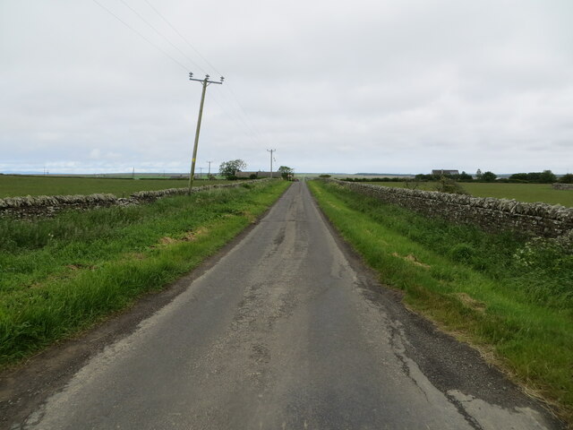
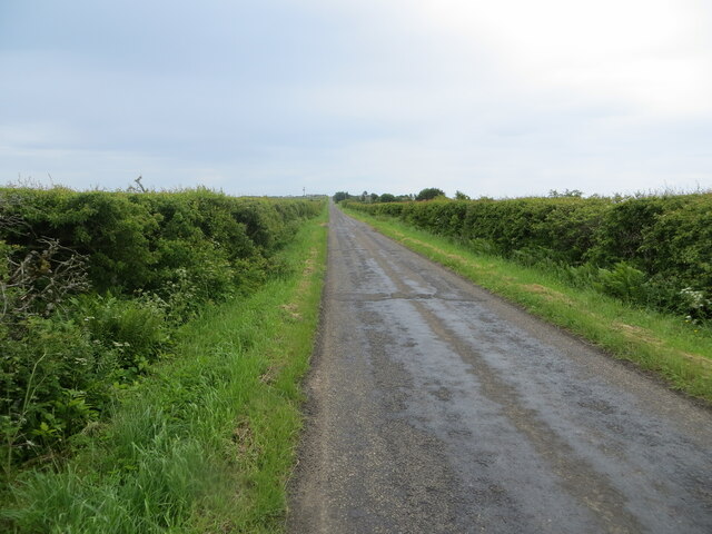
Alterwall is a small coastal village located in the county of Caithness, in the northernmost part of mainland Scotland. Situated on the east coast, it lies about 10 miles northeast of the town of Wick. The village is surrounded by beautiful countryside, with rolling hills to the west and the North Sea to the east.

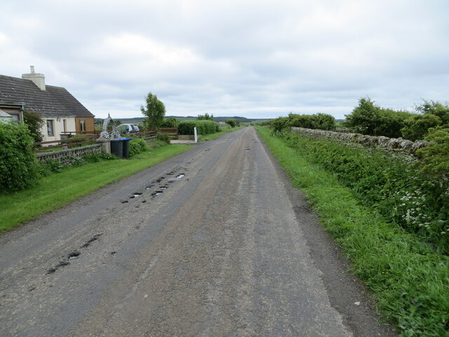
The population of Alterwall is relatively small, with around 200 residents. The village is known for its peaceful and close-knit community, where neighbors often come together for various social events and activities. The friendly atmosphere and sense of community make Alterwall an inviting place to live.

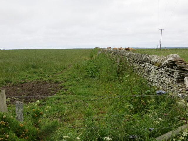
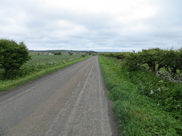
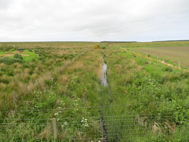
The landscape surrounding Alterwall is characterized by its rugged beauty, with dramatic cliffs and stunning sandy beaches. The village itself is nestled among green fields and picturesque cottages, giving it a charming and idyllic feel.

Despite its small size, Alterwall has a few amenities to cater to the needs of its residents. These include a local convenience store, a small pub, and a primary school, ensuring that the village offers essential services within its boundaries.

For those who enjoy outdoor activities, Alterwall offers an abundance of opportunities. The nearby coastline provides excellent fishing spots, and the surrounding hills are perfect for hiking and exploring. The village is also a popular destination for birdwatchers, as it is home to a variety of seabirds and other wildlife.

In conclusion, Alterwall, Caithness is a tranquil coastal village with a strong sense of community, surrounded by breathtaking scenery, and offering a range of outdoor activities for residents and visitors alike.

If you have any feedback on the listing, please let us know in the comments section below.
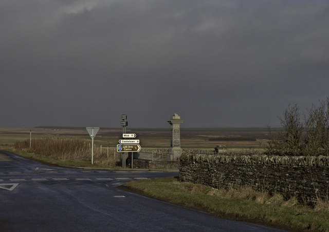
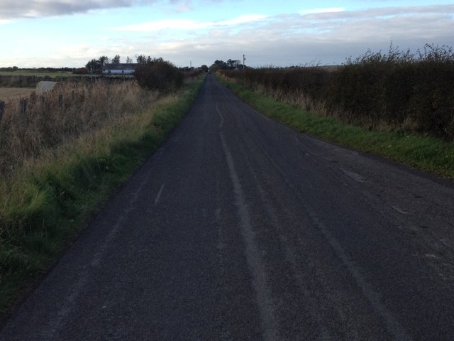
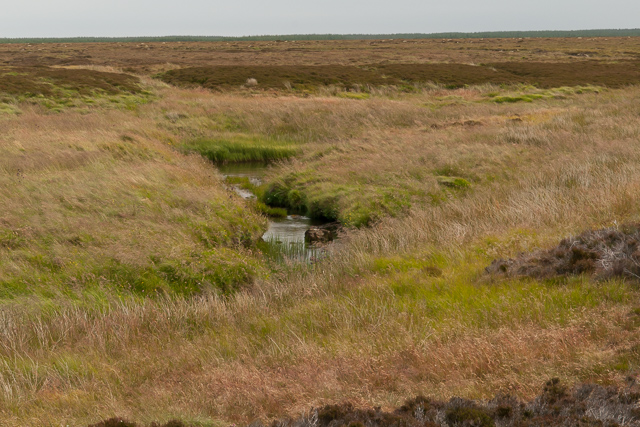
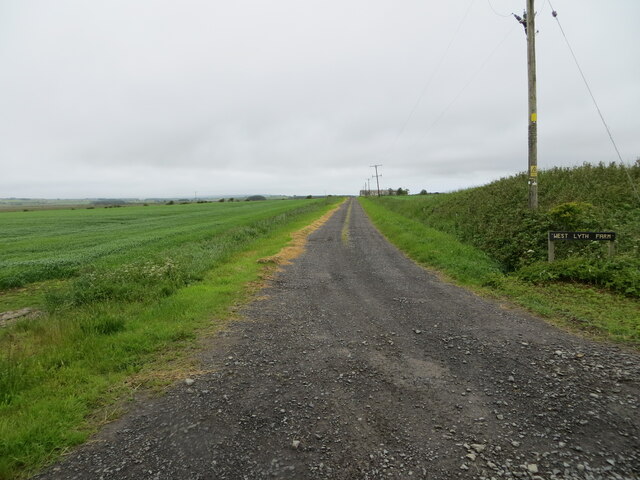
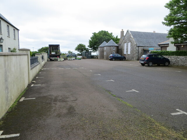
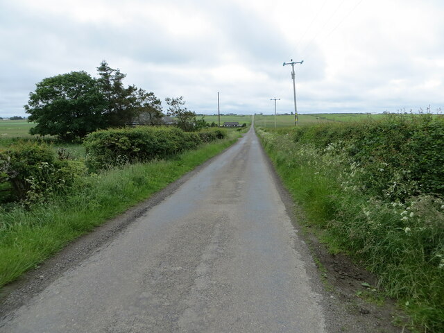
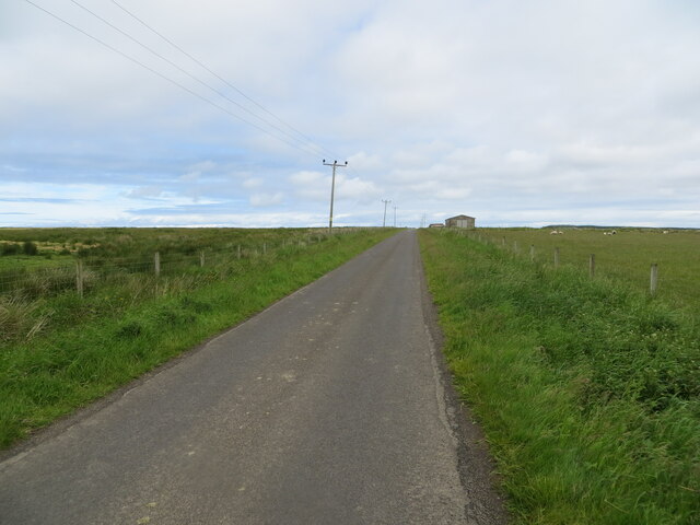
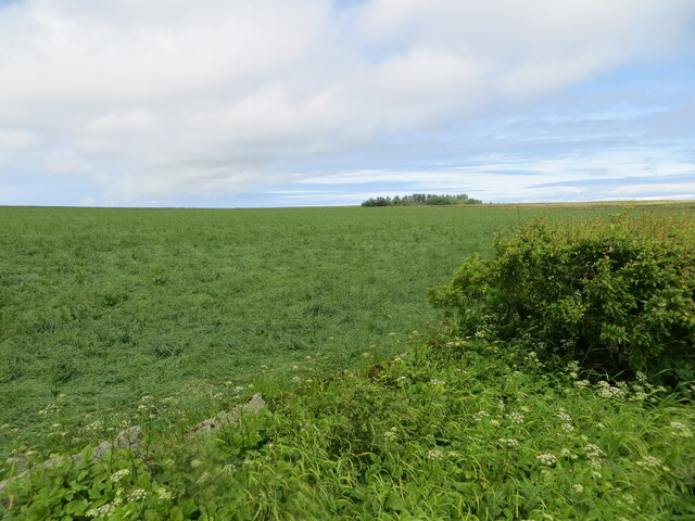
Alterwall Images

Images are sourced within 2km of 58.562959/-3.2267203 or Grid Reference ND2864. Thanks to Geograph Open Source API. All images are credited.

Signs and memorial
Signs and memorial
Minor road near Lyth
Burn of Alterwall The Burn of Alterwall is formed at the confluence of the Kirk Burn and the Burn of Slickly and flows into the Burn of Lyth.   The burn flows across an area of rough moorland and peat bog.
Burn of Alterwall
The Burn of Alterwall is formed at the confluence of the Kirk Burn and the Burn of Slickly and flows into the Burn of Lyth. The burn flows across an area of rough moorland and peat bog.
Track giving access to West Lyth Looking north-westward.
Track giving access to West Lyth
Looking north-westward.
Wall separating fields at Hillhead, Lyth Looking north-westward towards the Triangulation Pillar.
Wall separating fields at Hillhead, Lyth
Looking north-westward towards the Triangulation Pillar.
Minor road near to Hillhead, Lyth Looking north-eastward.
Minor road near to Hillhead, Lyth
Looking north-eastward.
Road near to Sortat Looking south-eastward.
Road near to Sortat
Looking south-eastward.
Road between Sortat and Howe Looking south-eastward.
Road between Sortat and Howe
Looking south-eastward.
Lyth Arts Centre and its parking area at Sortat Looking south-eastward.
Lyth Arts Centre and its parking area at Sortat
Looking south-eastward.
Hedge-lined minor road near to Alterwall Looking south-westward.
Hedge-lined minor road near to Alterwall
Looking south-westward.
Fence-lined minor road near to Alterwall Looking north-eastward.
Fence-lined minor road near to Alterwall
Looking north-eastward.
Farmland near to Alterwall Looking north-westward.
Farmland near to Alterwall
Looking north-westward.
Burn of Slickly viewed from the Bridge of Slickly Looking north-westward.
Burn of Slickly viewed from the Bridge of Slickly
Looking north-westward.
Hedge-lined minor road near to Reaster Cottage Looking south-eastward.
Hedge-lined minor road near to Reaster Cottage
Looking south-eastward.
Ordnance Survey Flush Bracket S6795 This bracket can be found on the wall of the Lyth Arts Centre, a former school building.
No current Ordnance Survey details available but visit reports can be found at : <span class="nowrap"><a title="https://www.bench-marks.org.uk/bm19641" rel="nofollow ugc noopener" href="https://www.bench-marks.org.uk/bm19641">Link</a><img style="margin-left:2px;" alt="External link" title="External link - shift click to open in new window" src="https://s1.geograph.org.uk/img/external.png" width="10" height="10"/></span>
Ordnance Survey Flush Bracket S6795
This bracket can be found on the wall of the Lyth Arts Centre, a former school building. No current Ordnance Survey details available but visit reports can be found at : LinkExternal link
Eggs For Sale At Sortat.
Eggs For Sale
At Sortat.
Sortat War Memorial War memorial to the men of the Barrock Estate who fell in the two World Wars.
Sortat War Memorial
War memorial to the men of the Barrock Estate who fell in the two World Wars.
Lane to Ruthers of Howe From the Lyth road.
Lane to Ruthers of Howe
From the Lyth road.
Show me another place!

Alterwall is located at Grid Ref: ND2864 (Lat: 58.562959, Lng: -3.2267203)

Unitary Authority: Highland

Police Authority: Highlands and Islands

What 3 Words

///templates.quiz.congested. Near John o' Groats, Highland

Nearby Locations

Alterwall

Related Wikis

Reaster

Reaster is a small village in Bower parish, Caithness Highland, Scotland.
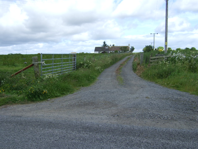
Bower, Highland

Bower (Scottish Gaelic: Bàgair) is a village and civil parish in Highland, Scotland It is 10 miles from Thurso and around 11 miles from Wick. Bower is...

Brabsterdorran

Brabsterdorran is an area of the civil parish of Bower in Highland, Scotland. Buildings include Bower Community Hall and the Old Free Church Manse, previously...
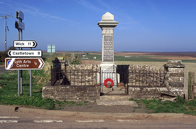
RAF Castletown

Royal Air Force Castletown or more simply RAF Castletown, is a former Royal Air Force station that operated during the Second World War. Built near to...

Keiss

Keiss (Scottish Gaelic: Cèis) is a fishing village at the northern end of Sinclair's Bay on the east coast of Caithness county in Scotland's Highland...
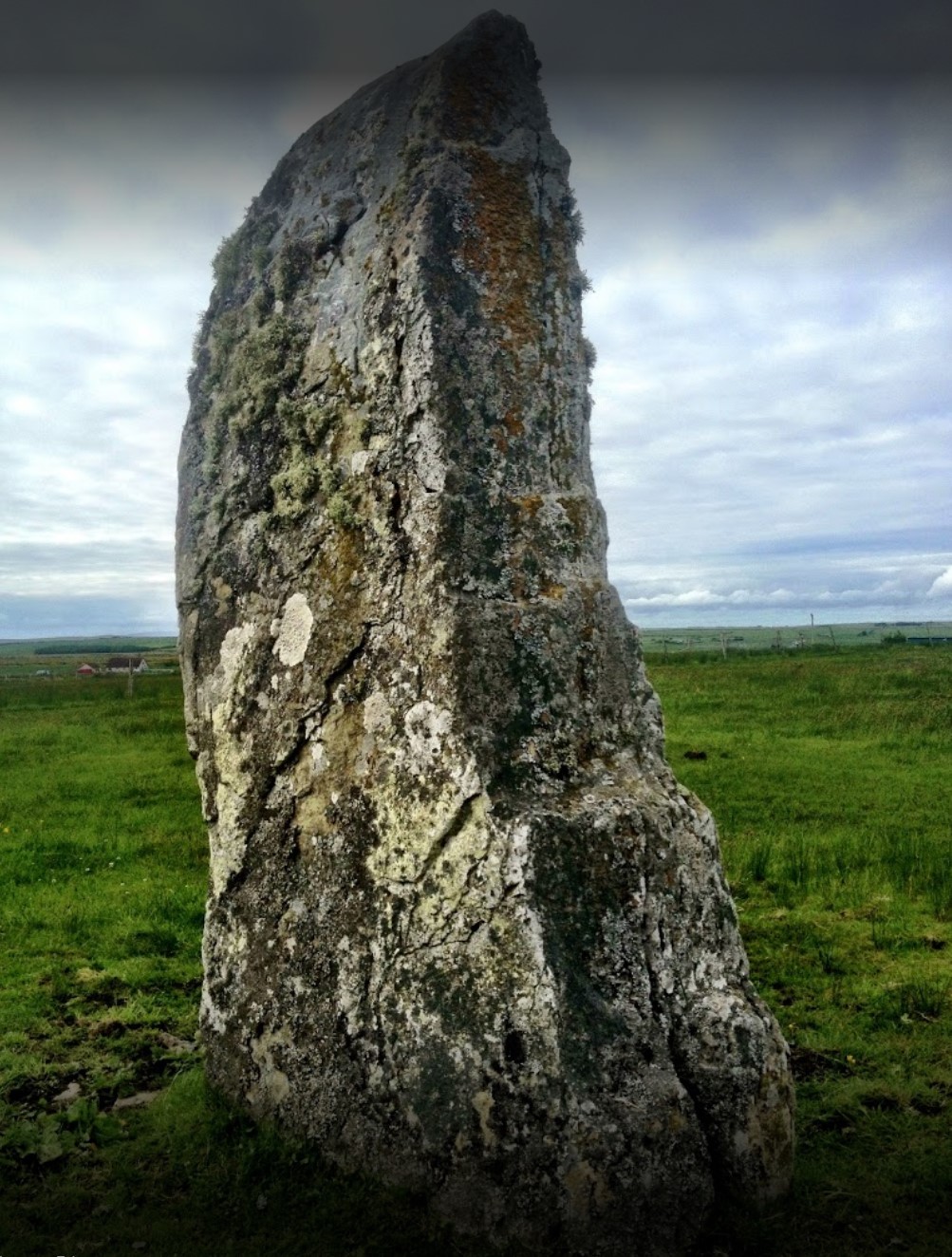
Stone Lud

The Stone Lud is a standing stone in the parish of Bower in Caithness, in the Highland area of Scotland. It is located and about 7 kilometres (4.3 mi)...

Keiss Castle

Keiss Castle is a partially ruined castle in Scotland, which stands on sheer cliffs overlooking Sinclair's Bay less than one mile north of Keiss village...

Nybster

Nybster is a scattered rural and crofting township, situated in Caithness and is in the Scottish council area of Highland. It is located along the A9 road...

Nearby Amenities

Located within 500m of 58.562959,-3.2267203
Alterwall
Place: hamlet
Lat/Long: 58.5661708/-3.2257299
Building: yes
Lat/Long: 58.5606648/-3.2285268
Power: pole
Lat/Long: 58.5667026/-3.2232696
Power: pole
Lat/Long: 58.5663431/-3.2236129
Power: pole
Lat/Long: 58.5656912/-3.2242137
Power: pole
Lat/Long: 58.5650701/-3.2248333
Power: pole
Lat/Long: 58.5646715/-3.225233
Power: pole
Lat/Long: 58.5642266/-3.2256112
Power: pole
Lat/Long: 58.5635719/-3.226271
Power: pole
Lat/Long: 58.5627689/-3.2270622
Power: pole
Lat/Long: 58.562166/-3.2276469
Power: pole
Lat/Long: 58.5615253/-3.2282209
Power: pole
Lat/Long: 58.5609489/-3.2287869
Power: pole
Lat/Long: 58.5603095/-3.2293729
Power: pole
Lat/Long: 58.5597079/-3.2299456
Power: pole
Lat/Long: 58.5592238/-3.2304284
The data included in this document is from www.openstreetmap.org. The data is made available under ODbL.

Have you been to Alterwall?

Leave your review of Alterwall below (or comments, questions and feedback).