Clach na Diollaide

Coastal Marsh, Saltings in Argyllshire

Scotland

Clach na Diollaide

Druim na Maodalaich's wildlife A wild goat at home on vertical ground
Druim na Maodalaich's wildlife Credit: Alan Reid

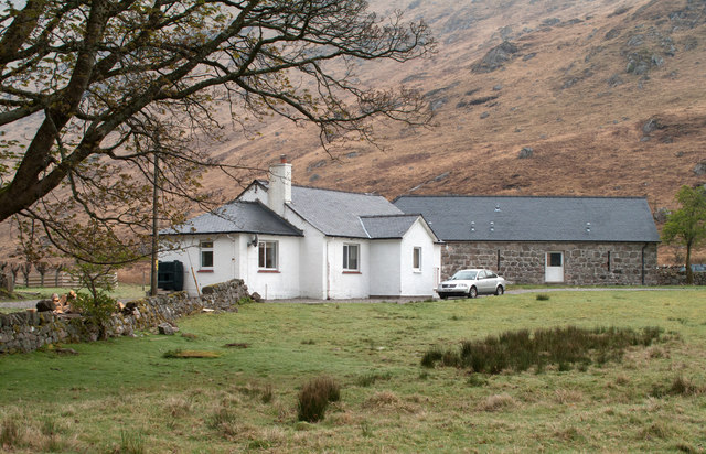
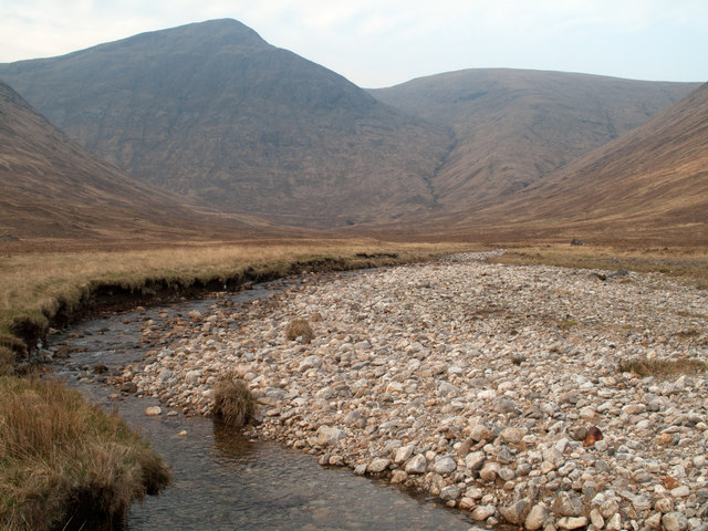
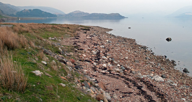
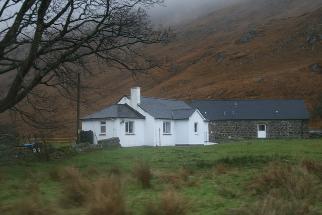
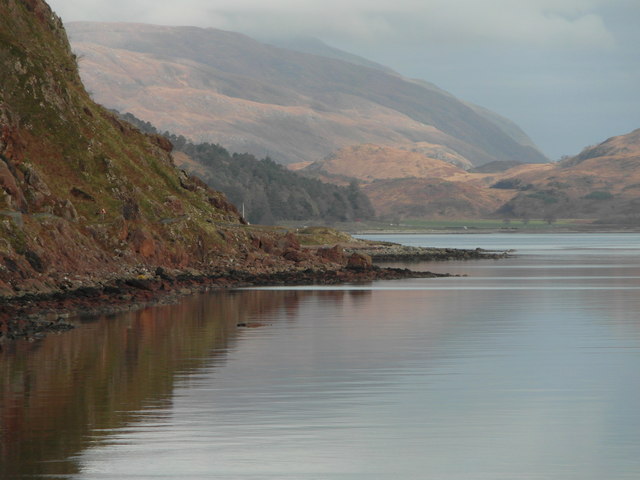
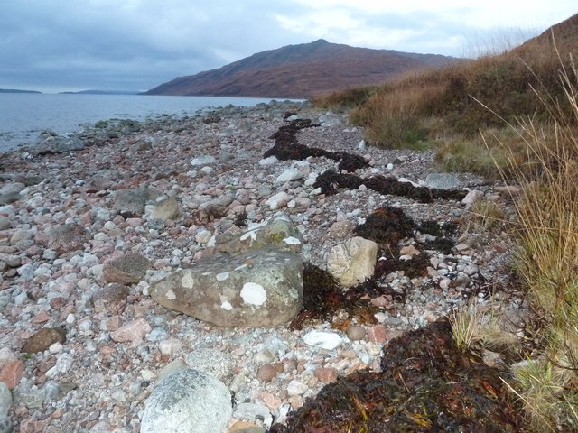
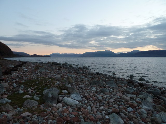
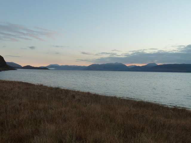
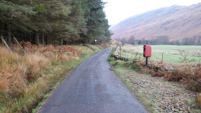
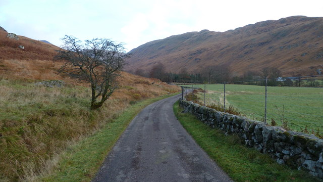
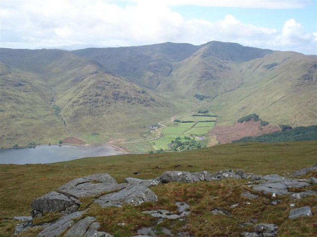
Clach na Diollaide, located in Argyllshire, Scotland, is a stunning coastal marsh and saltings area that spans approximately 200 acres. This picturesque landscape is renowned for its unique ecological features and breathtaking natural beauty.

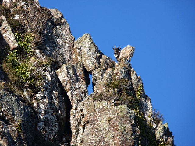
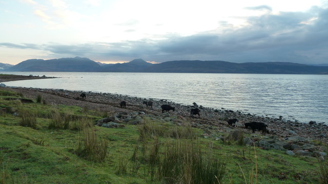
The marsh itself is characterized by its rich biodiversity, with a diverse range of plant species thriving in the wet and marshy conditions. Common species found in this area include reed grass, sea lavender, and saltmarsh grass. These plants provide vital habitats for various bird species, such as curlews, redshanks, and oystercatchers, which can be spotted flocking to the marsh throughout the year.

The saltings, or salt marshes, are formed by the ebb and flow of the tide, resulting in a mixture of marine and terrestrial environments. These areas are home to a plethora of marine organisms, including small fish, crabs, and shellfish. The salt marshes also serve as important feeding grounds for migratory birds, making it a popular spot for birdwatching enthusiasts.

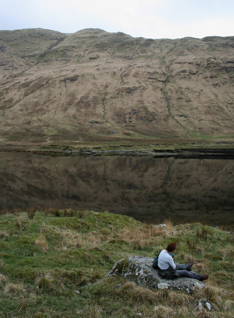
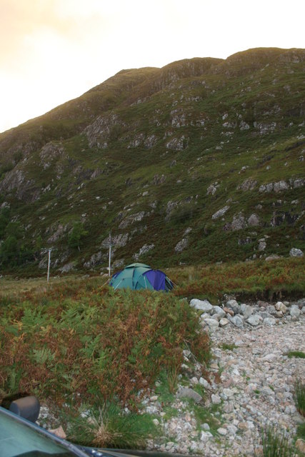
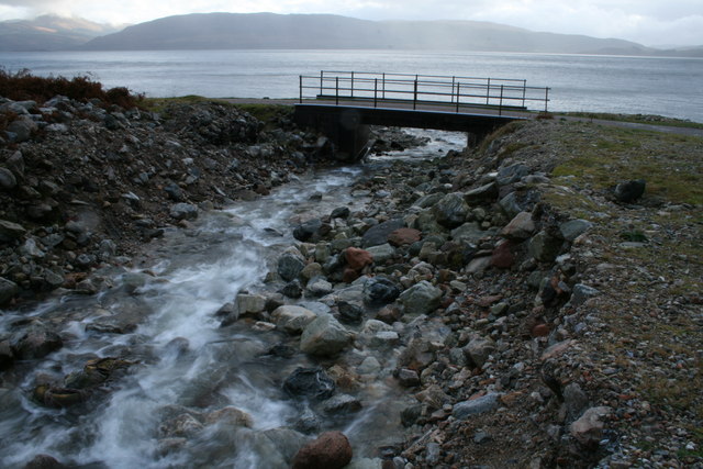
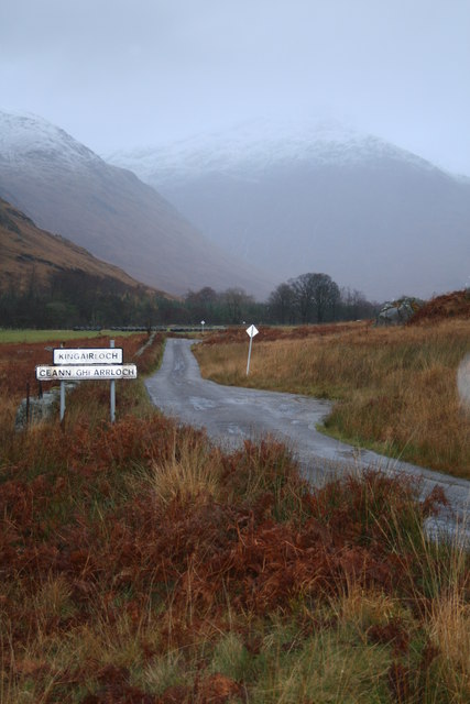
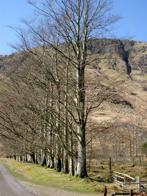
In addition to its ecological significance, Clach na Diollaide is a haven for outdoor enthusiasts. Visitors can explore the area via well-maintained footpaths that provide easy access to the marsh and saltings. The stunning coastal views, combined with the tranquil atmosphere, make it an ideal location for nature walks, picnics, and photography.

Overall, Clach na Diollaide offers a unique and enchanting experience for those seeking to immerse themselves in the natural wonders of Argyllshire. Its diverse ecosystem and stunning vistas make it a must-visit destination for nature lovers and wildlife enthusiasts alike.

If you have any feedback on the listing, please let us know in the comments section below.

Clach na Diollaide Images

Images are sourced within 2km of 56.624764/-5.4553165 or Grid Reference NM8853. Thanks to Geograph Open Source API. All images are credited.

Druim na Maodalaich's wildlife A wild goat at home on vertical ground
Druim na Maodalaich's wildlife
A wild goat at home on vertical ground
Milepost beside the B8043 at Glengalmadale
Lochan, Glen Galmadale
Wild camping by Allt an t-Salainn
Glengalmadale Glengalmadale as a settlement consists of just two buildings; the farther one is now 'The Steadings', a B & B establishment' The view is from the rough car park close to the bridge over the Glengalmadale River.
Glengalmadale
Glengalmadale as a settlement consists of just two buildings; the farther one is now 'The Steadings', a B & B establishment' The view is from the rough car park close to the bridge over the Glengalmadale River.
Glen Galmadale Glen Galmadale is drained by the Glengalmadale River seen flowing gently at this time but its power in spate can be estimated by the exposed boulder expanse. Creach Bheinn and Maol Odhar are the peaks at the end of the glen.
Glen Galmadale
Glen Galmadale is drained by the Glengalmadale River seen flowing gently at this time but its power in spate can be estimated by the exposed boulder expanse. Creach Bheinn and Maol Odhar are the peaks at the end of the glen.
Western shore of Loch Linnhe The view is to the north-east from beside the B8043 below Druim na Maodalaich. The dot out in the loch at the right side of the image is a great northern diver.
Western shore of Loch Linnhe
The view is to the north-east from beside the B8043 below Druim na Maodalaich. The dot out in the loch at the right side of the image is a great northern diver.
Glengalmadale
Glengalmadale
Loch Linnhe The B8043 winding precariously along the shore here.
Loch Linnhe
The B8043 winding precariously along the shore here.
Bridge over Allt an t-Salainn Looking downstream so Loch Linnhe is seen beyond.
Bridge over Allt an t-Salainn
Looking downstream so Loch Linnhe is seen beyond.
B8043 heading towards Glengalmadale
Overgrown beech hedge at Glengalmadale
Foreshore at Rubha na h-Airde Uinnsinn
Loch Linnhe at dawn
Loch Linnhe at dawn
Loch Linnhe at dawn
Loch Linnhe at dawn
Am Broilein shoreline with wild goats
Postbox near Camasnacroise
B8043 heading for Glengalmadale Bridge
Show me another place!

Clach na Diollaide is located at Grid Ref: NM8853 (Lat: 56.624764, Lng: -5.4553165)

Unitary Authority: Highland

Police Authority: Highlands and Islands

What 3 Words

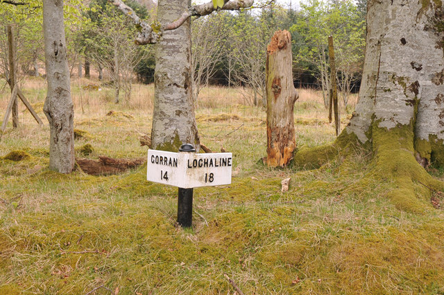
///emptied.latches.plugs. Near Lochaline, Highland

Related Wikis

Creach Bheinn (Morvern)

Creach Bheinn is a prominent mountain in the Morvern area in the west of Scotland. It is less steep and even less frequently climbed than its northern...

Shuna Island

Shuna Island or simply Shuna is an island in Loch Linnhe, offshore from Appin, in Argyll and Bute, Scotland. The island is approximately two kilometres...

A861 road

The A861 road is a circuitous, primarily coastal, road in Lochaber, within the Highland council area of Scotland.The A861 serves the communities of the...

Castle Stalker

Castle Stalker (Scottish Gaelic: Caisteal an Stalcaire) is a four-storey tower house or keep in the Scottish county Argyll. It is set on a tidal islet...

Appin railway station

Appin was a railway station in Scotland, close to the Sound of Shuna on the east shore of Loch Laiche - an arm of Loch Linnhe, Portnacroish, Appin in Argyll...

Beinn Mheadhoin (Morvern)

Beinn Mheadhoin (739 m) is a mountain in the Northwest Highlands of Scotland. It is located in the Morvern area of Lochaber. A peak of various ridges with...

Glensanda

Glensanda (Old Norse, the glen of the sandy river) was a Viking settlement at the mouth of Glen Sanda on the Morvern peninsula within south west Lochaber...

Garbh Bheinn (Ardgour)

Garbh Bheinn is a mountain in Scotland. Its name is Scots Gaelic for "rough mountain". == Ascents == There are several possible routes of ascent. All of...

Nearby Amenities

Located within 500m of 56.624764,-5.4553165
Power: pole
Lat/Long: 56.6227596/-5.4619271
Power: pole
Lat/Long: 56.6233086/-5.4609722
Power: pole
Lat/Long: 56.6237542/-5.4597652
Power: pole
Lat/Long: 56.6241674/-5.4585743
Power: pole
Lat/Long: 56.6248166/-5.4569596
Power: pole
Lat/Long: 56.6251442/-5.4560959
Power: pole
Lat/Long: 56.6257137/-5.4554308
Power: pole
Lat/Long: 56.6262862/-5.4548138
Power: pole
Lat/Long: 56.6267967/-5.4542238
Power: pole
Lat/Long: 56.6274607/-5.453521
Power: pole
Lat/Long: 56.6279712/-5.4529685
Power: pole
Lat/Long: 56.6282397/-5.4526842
Power: pole
Lat/Long: 56.6225973/-5.4617983
Power: pole
Lat/Long: 56.6229854/-5.4608569
Power: pole
Lat/Long: 56.6232422/-5.4602426
Power: pole
Lat/Long: 56.6236258/-5.4593468
Power: pole
Lat/Long: 56.624095/-5.4581693
Power: pole
Lat/Long: 56.6245864/-5.4570991
Power: pole
Lat/Long: 56.6250615/-5.4558116
Power: pole
Lat/Long: 56.6256016/-5.4552537
Power: pole
Lat/Long: 56.626239/-5.4545698
Power: pole
Lat/Long: 56.6267967/-5.4539609
Power: pole
Lat/Long: 56.6274208/-5.4532903
Power: pole
Lat/Long: 56.6280464/-5.4526681
Power: pole
Lat/Long: 56.6287148/-5.4519546
Power: pole
Lat/Long: 56.6288225/-5.4520619
The data included in this document is from www.openstreetmap.org. The data is made available under ODbL.

Have you been to Clach na Diollaide?

Leave your review of Clach na Diollaide below (or comments, questions and feedback).