Sand Geos

Coastal Feature, Headland, Point in Shetland

Scotland

Sand Geos

Broch at the end of Wadbister Ness Although on a small holm nowadays, the broch was probably on the mainland in the Iron Age as sea levels were lower at that time. In the background are various settlements in South Nesting.
Broch at the end of Wadbister Ness Credit: Mike Pennington

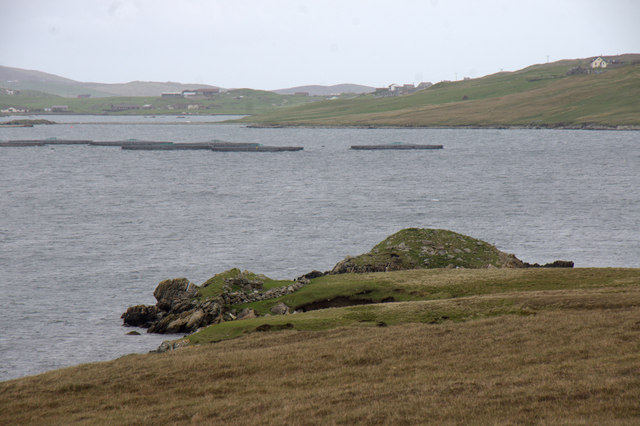
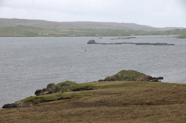
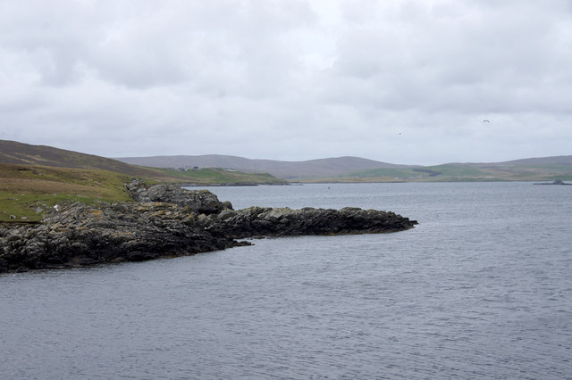
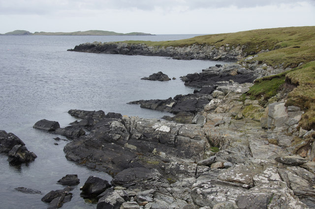
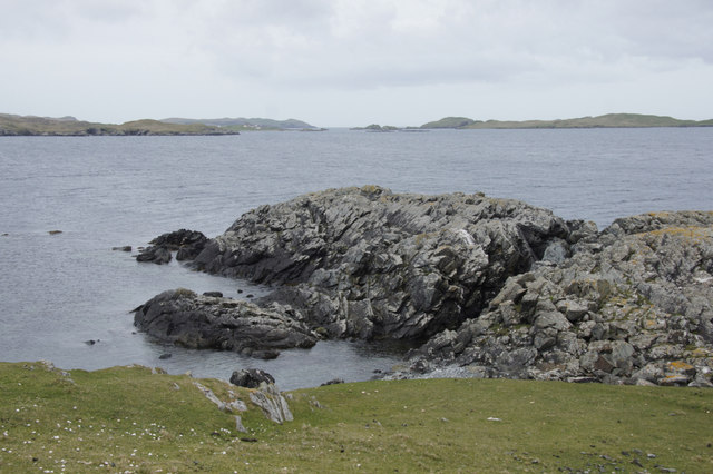
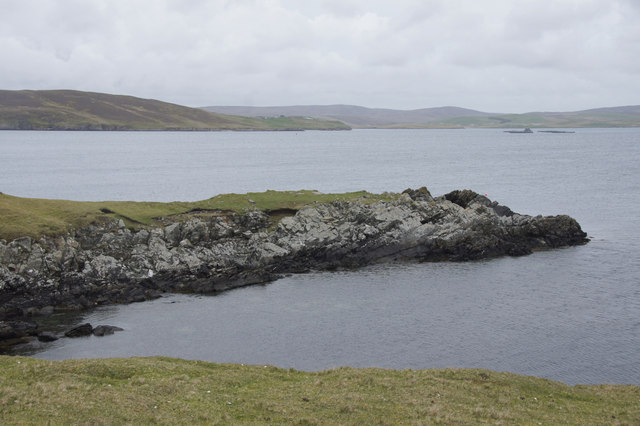
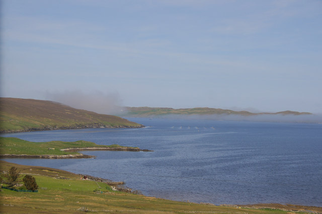
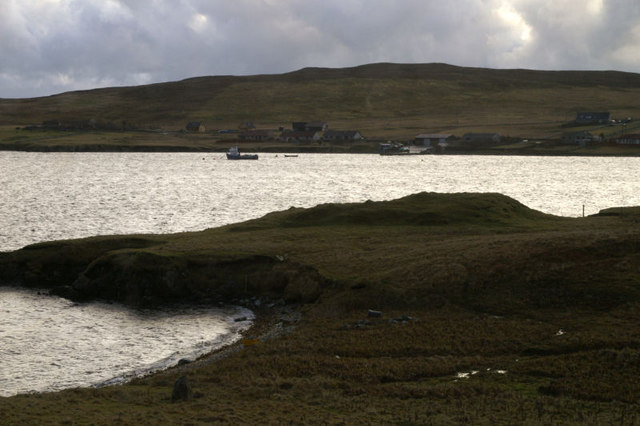
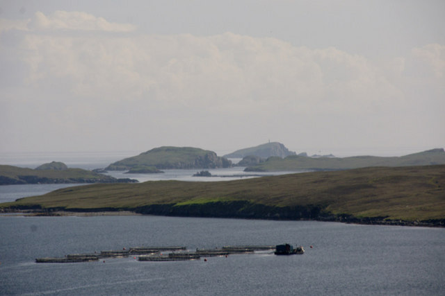
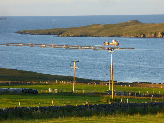
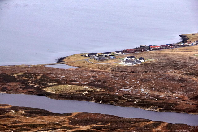
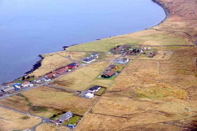
Sand Geos is a prominent coastal feature located in the Shetland Islands, off the northeast coast of Scotland. It is specifically classified as a headland, which is a narrow piece of land jutting out into the sea. This headland is situated on the eastern coast of the Shetland Mainland, near the village of Cunningsburgh.

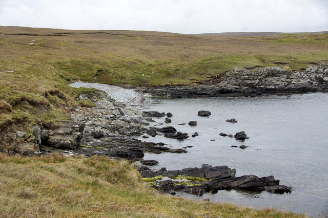
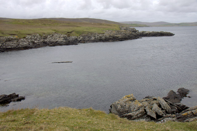
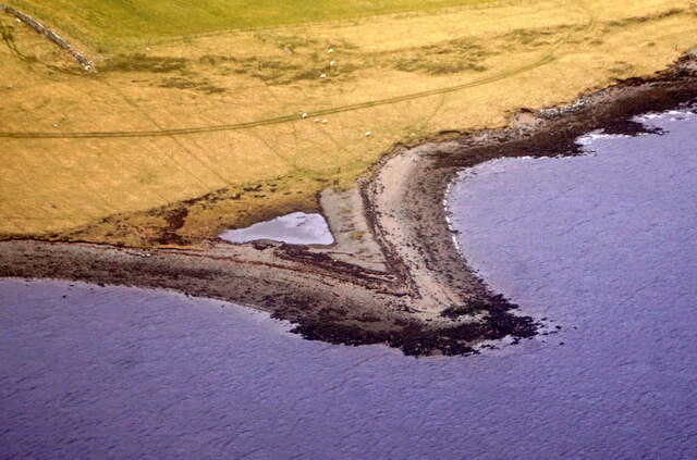
Sand Geos is characterized by its rugged and dramatic landscape, with steep cliffs that rise up from the sea. The cliffs are composed of sedimentary rocks, such as sandstone and shale, which have been shaped and eroded by the relentless action of the waves over thousands of years. This erosion has created several natural arches and caves within the headland, adding to its picturesque beauty.

The headland offers stunning panoramic views of the surrounding coastline and the North Sea, making it a popular spot for both locals and tourists alike. It is also a haven for seabirds, with colonies of puffins, guillemots, and fulmars nesting on the cliffs. Visitors can often observe these birds in their natural habitat, as well as other marine life such as seals and dolphins.

Access to Sand Geos is relatively easy, as there is a well-maintained footpath that leads to the headland from the nearby village. However, caution is advised when exploring the area, as the cliffs can be unstable and the sea can be rough. It is important to adhere to any safety signage and take appropriate precautions while visiting.

If you have any feedback on the listing, please let us know in the comments section below.

Sand Geos Images

Images are sourced within 2km of 60.223189/-1.1961751 or Grid Reference HU4449. Thanks to Geograph Open Source API. All images are credited.

Broch at the end of Wadbister Ness Although on a small holm nowadays, the broch was probably on the mainland in the Iron Age as sea levels were lower at that time. In the background are various settlements in South Nesting.
Broch at the end of Wadbister Ness
Although on a small holm nowadays, the broch was probably on the mainland in the Iron Age as sea levels were lower at that time. In the background are various settlements in South Nesting.
Broch at the end of Wadbister Ness Salmon farm and South Nesting in the background.
Broch at the end of Wadbister Ness
Salmon farm and South Nesting in the background.
Small beach at the end of Wadbister Ness
Mitten, Wadbister Ness Mitten appears to be the name of the headland.
Mitten, Wadbister Ness
Mitten appears to be the name of the headland.
Mitten, Wadbister Ness Apparently, this is the name of this headland.
Mitten, Wadbister Ness
Apparently, this is the name of this headland.
Coast just west of Lambgarth Head, Wadbister Ness
Lambgarth Head, Wadbister Ness
Small headland just west of Lambgarth Head, Wadbister Ness
Haar over Wadbister Voe Chalder Ness in the foreground, haar over Ritta Taing in the background.
Haar over Wadbister Voe
Chalder Ness in the foreground, haar over Ritta Taing in the background.
Chalder Ness, Wadbister Voe Looking across Wadbister Voe to Wadbister.
Chalder Ness, Wadbister Voe
Looking across Wadbister Voe to Wadbister.
Wadbister Ness, the Isles of Gletness and Hoo Stack The view from the main road, across Wadbister Voe and Wadbister Ness. The North Isle of Gletness is the higher of the islands in the middle distance, and Hoo Stack, with its beacon on top, is the furthest island.
Wadbister Ness, the Isles of Gletness and Hoo Stack
The view from the main road, across Wadbister Voe and Wadbister Ness. The North Isle of Gletness is the higher of the islands in the middle distance, and Hoo Stack, with its beacon on top, is the furthest island.
Wadbister Voe Mussel rafts on the voe with Wadbister Ness in the background - as seen from Girlsta.
Wadbister Voe
Mussel rafts on the voe with Wadbister Ness in the background - as seen from Girlsta.
Wadbister from the air
Loch of Vatster, Wadbister, from the air
Black Loch, Wadbister, from the air
Vatster quarry from the air
Wadbister from the air
Small headland, Lax Firth, from the air
Show me another place!

Sand Geos is located at Grid Ref: HU4449 (Lat: 60.223189, Lng: -1.1961751)

Unitary Authority: Shetland Islands

Police Authority: Highlands and Islands

What 3 Words

///scorpions.phones.pronouns. Near Lerwick, Shetland Islands

Related Wikis

Breiwick

Breiwick is a village on the island of Mainland in Shetland, Scotland. Breiwick is in the parish of Tingwall, and is 1.6 mi (2.5 km) north-east of Gott...

South Isle of Gletness

The South Isle of Gletness is an islet off Gletness, in Nesting in east central, Mainland, Shetland. It is 30m at its highest point. Amongst its features...

North Isle of Gletness

The North Isle of Gletness is one of the Shetland Islands. It is east of the Shetland Mainland, near Gletness in Nesting parish, and is so called in contradistinction...

Freester

Freester is a settlement on Mainland, Shetland, Scotland. It is in the parish of Nesting. == References == == External links == Canmore - Hard Knowe site...

Have you been to Sand Geos?

Leave your review of Sand Geos below (or comments, questions and feedback).