Waterhouse Creek
Sea, Estuary, Creek in Suffolk Babergh
England
Waterhouse Creek
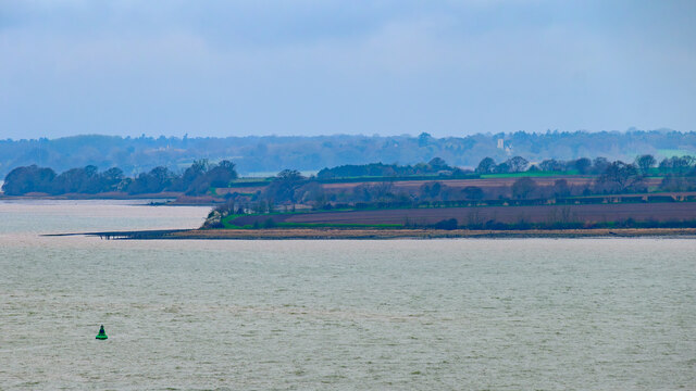
Waterhouse Creek is a picturesque waterway located in Suffolk, England. It is a unique combination of a sea, estuary, and creek, making it a diverse and ecologically significant area. The creek starts as a narrow channel branching off from the North Sea, near the village of Bawdsey.
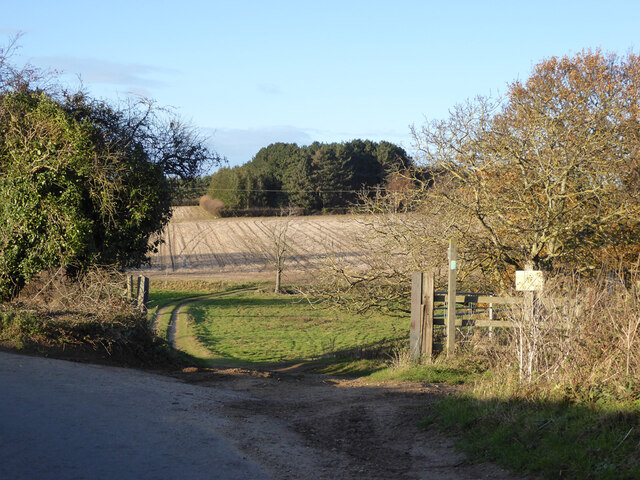
As the creek continues inland, it gradually widens and transforms into an estuary, where freshwater from the surrounding countryside mixes with the saline seawater. This creates a rich and diverse ecosystem, supporting a wide array of flora and fauna. The estuary is particularly known for its extensive salt marshes, which provide crucial habitat for numerous bird species, including waders and waterfowl.
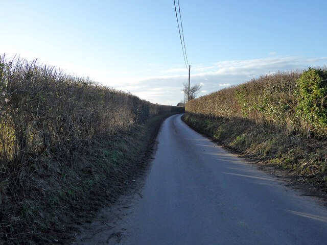
The creek further inland transforms into a tranquil creek, with lush vegetation lining its banks. This section of the waterway is sheltered from the open sea, offering a peaceful and serene environment for boating and fishing enthusiasts. The creek is also popular among kayakers and wildlife enthusiasts, who can explore its intricate network of channels and observe the various species of plants and animals that call it home.
Waterhouse Creek is not only a haven for wildlife but also holds historical significance. It was used as a smuggling route during the 18th and 19th centuries, with hidden creeks and channels providing ideal hiding spots for smugglers' boats.
Overall, Waterhouse Creek is a beautiful and diverse waterway that offers a unique blend of coastal, estuarine, and creek environments. Its ecological importance, tranquil ambiance, and historical significance make it a cherished destination for nature lovers and history enthusiasts alike.
If you have any feedback on the listing, please let us know in the comments section below.
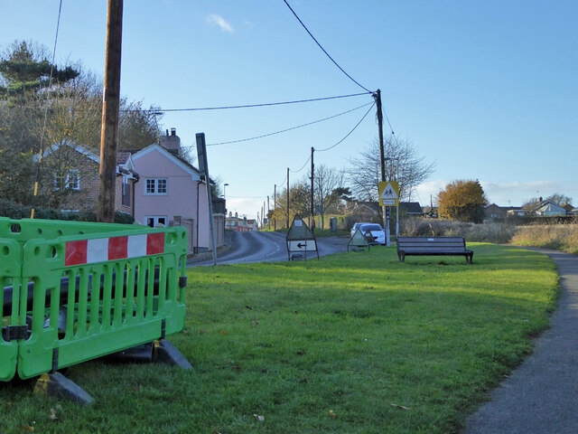
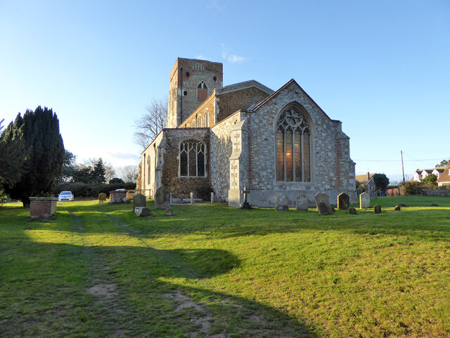
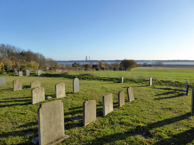
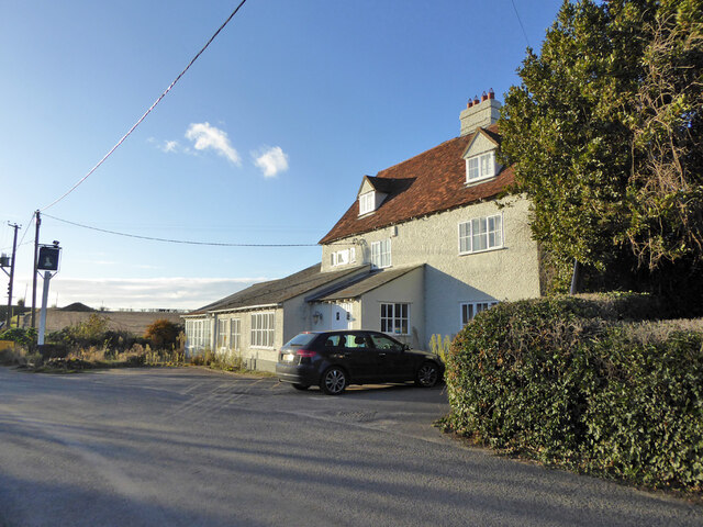
Waterhouse Creek Images
Images are sourced within 2km of 51.959346/1.2366647 or Grid Reference TM2233. Thanks to Geograph Open Source API. All images are credited.


Waterhouse Creek is located at Grid Ref: TM2233 (Lat: 51.959346, Lng: 1.2366647)
Administrative County: Suffolk
District: Babergh
Police Authority: Suffolk
What 3 Words
///arranged.rave.remission. Near Shotley Gate, Suffolk
Nearby Locations
Related Wikis

Erwarton
Erwarton or Arwarton is a small village and civil parish in the Babergh district of Suffolk, England. The parish includes the hamlet of Shop Corner. Located...

Shotley
Shotley is a village and civil parish 8 miles (13 km) south-east of Ipswich in the English county of Suffolk. It is in the Babergh district and gives its...

River Stour, Suffolk
The River Stour (, pronounced rhyming with either "tour" or "sour") is a major river in East Anglia, England. It is 47 miles (76 km) long and forms most...

Harwich International Port
Harwich International Port is a North Sea seaport in Essex, England, and one of the Haven ports. It lies on the south bank of the River Stour one mile...
HMS Badger (shore establishment)
HMS Badger was a shore establishment of the Royal Navy on the east coast of the United Kingdom. She was commissioned on 13 September 1939 was the flagship...

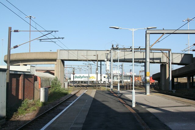
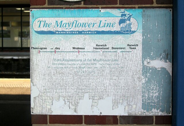
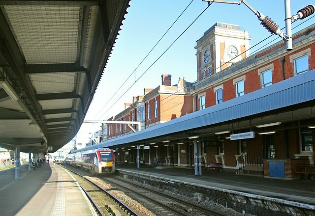
Harwich International railway station
Harwich International railway station is a railway station on the Mayflower Line, a branch of the Great Eastern Main Line, the station serves Harwich International...

Ganges Wood
Ganges Wood is a woodland in Suffolk, England, near the village of Shotley Gate. It covers a total area of 2.21 hectares (5.46 acres). It is owned and...
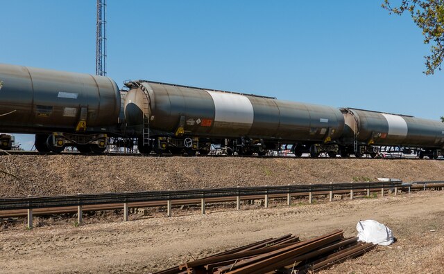
Harwich refinery
Harwich refinery is a 500,000 tonnes per year refining, processing, blending and storage facility near the port of Harwich in the UK. The refinery was...
Related Videos

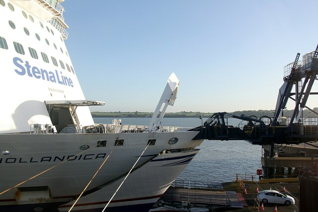
Stenna Britannica
Exclusive tour of the beautiful Stenna Britannica cruise ship ❤ #cruise #tour #experience #ship #water #sea #beauty #rich ...

Country Walking: Chelmondiston Circular. 4/8/22
An excellent walk of 10.6 miles around the Shotley Peninsula, in the Suffolk Coast and Heaths Area of Outstanding Beauty.

Harwich to Holland on foot with Stena Line 🇬🇧 🇳🇱
A2B via Sea undertook a short break with Stena Line from Harwich in the Essex region of the UK to the Hoek van Holland in the ...

Oliver’s Overnight ferry adventure (Harwich to Hook of Holland) with our motorhome
A video about my Harwich to the hook of holland overnight ferry. We travelled in April 2022 in a motorhome and had a comfort ...
Have you been to Waterhouse Creek?
Leave your review of Waterhouse Creek below (or comments, questions and feedback).