Maer High Cliff Beach
Beach in Cornwall
England
Maer High Cliff Beach
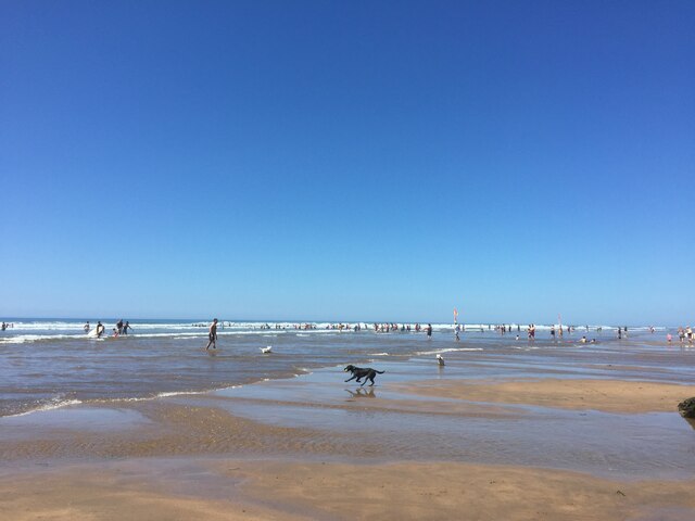
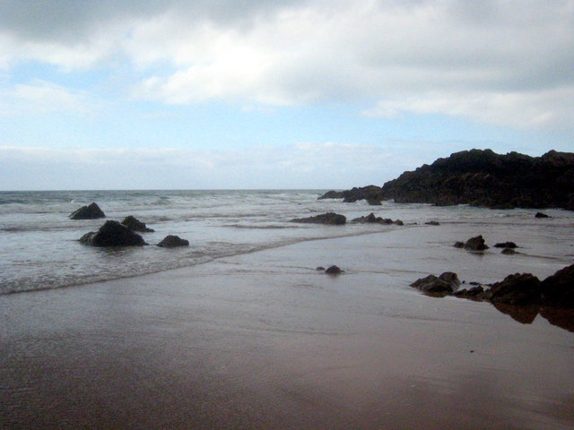
Maer High Cliff Beach is a picturesque stretch of coastline located in Cornwall, England. Situated near the village of Bude, this beach is renowned for its natural beauty and dramatic cliffs that tower above the golden sands.
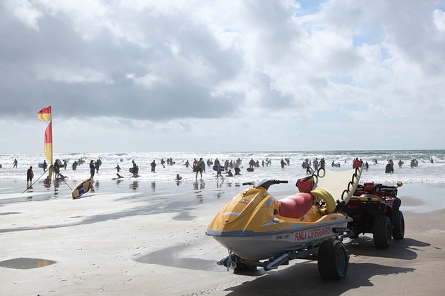
The beach is relatively secluded, offering visitors a tranquil and peaceful atmosphere. The expansive sandy shore provides ample space for sunbathing, picnicking, and various beach activities. The crystal-clear waters are ideal for swimming and paddling, although caution is advised due to the absence of lifeguards on duty.
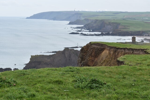
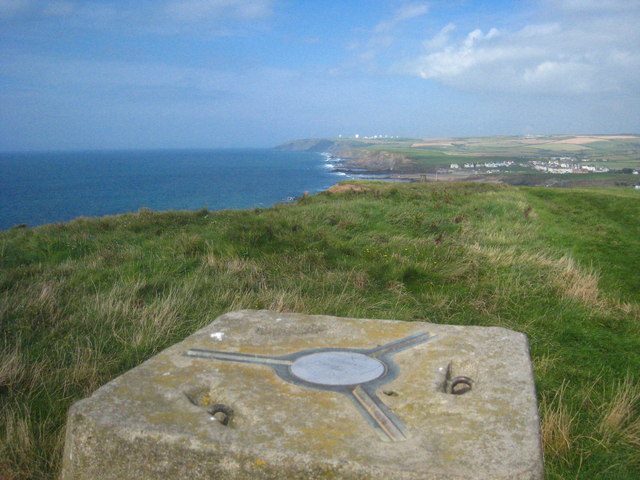
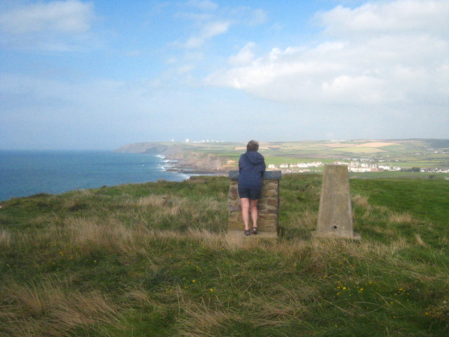
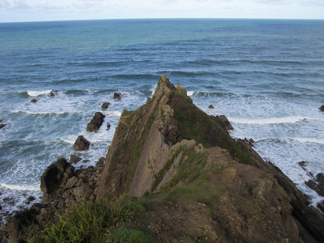
One of the standout features of Maer High Cliff Beach is its impressive cliffs, which reach heights of up to 100 feet. These rugged rock formations not only add to the area's scenic appeal but also provide opportunities for adventurous explorers to indulge in rock climbing and hiking. The cliffs are home to a diverse range of flora and fauna, including an array of seabirds, making it a haven for nature enthusiasts and birdwatchers.
Access to Maer High Cliff Beach is relatively straightforward, with a car park just a short walk away. Visitors can also enjoy a pleasant stroll along the South West Coast Path, which offers breathtaking views of the coastline and its surrounding landscapes.
It is worth noting that facilities at Maer High Cliff Beach are limited, with no public toilets or eateries nearby. Therefore, it is advisable to bring along any necessary provisions and be prepared for a more rustic beach experience.
Overall, Maer High Cliff Beach in Cornwall offers visitors a serene and untouched coastal setting, making it an ideal destination for those seeking a peaceful retreat and a chance to connect with nature.
If you have any feedback on the listing, please let us know in the comments section below.
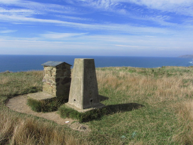
Maer High Cliff Beach Images
Images are sourced within 2km of 50.841141/-4.5572486 or Grid Reference SS2007. Thanks to Geograph Open Source API. All images are credited.


Maer High Cliff Beach is located at Grid Ref: SS2007 (Lat: 50.841141, Lng: -4.5572486)
Unitary Authority: Cornwall
Police Authority: Devon and Cornwall
What 3 Words
///tiredness.cafe.treat. Near Flexbury, Cornwall
Nearby Locations
Related Wikis

Maer, Cornwall
Maer is a coastal hamlet in north Cornwall, England, United Kingdom. It is situated one mile (1.6 km) northeast of Bude at grid reference SS 205 075 in...

Maer Lake
Maer Lake is a nature reserve adjacent to Bude, in Cornwall, England. It is a wetland meadow with open water, and is an important site for over-wintering...

Bude Sea Pool
Bude Sea Pool is a partially man-made tidal swimming pool or lido in the rocks at Summerleaze Beach, Bude, Cornwall. == History == In 1930, The Thynne...
Flexbury
Flexbury is a village about 0.8 miles from Bude, in the civil parish of Bude–Stratton, north Cornwall, England. Described as a hamlet in 1887, residential...

River Strat
The River Strat is a river in the northernmost part of Cornwall in southwest England. The Strat flows for 12.7 miles (20.4 km) to the sea at Bude, having...
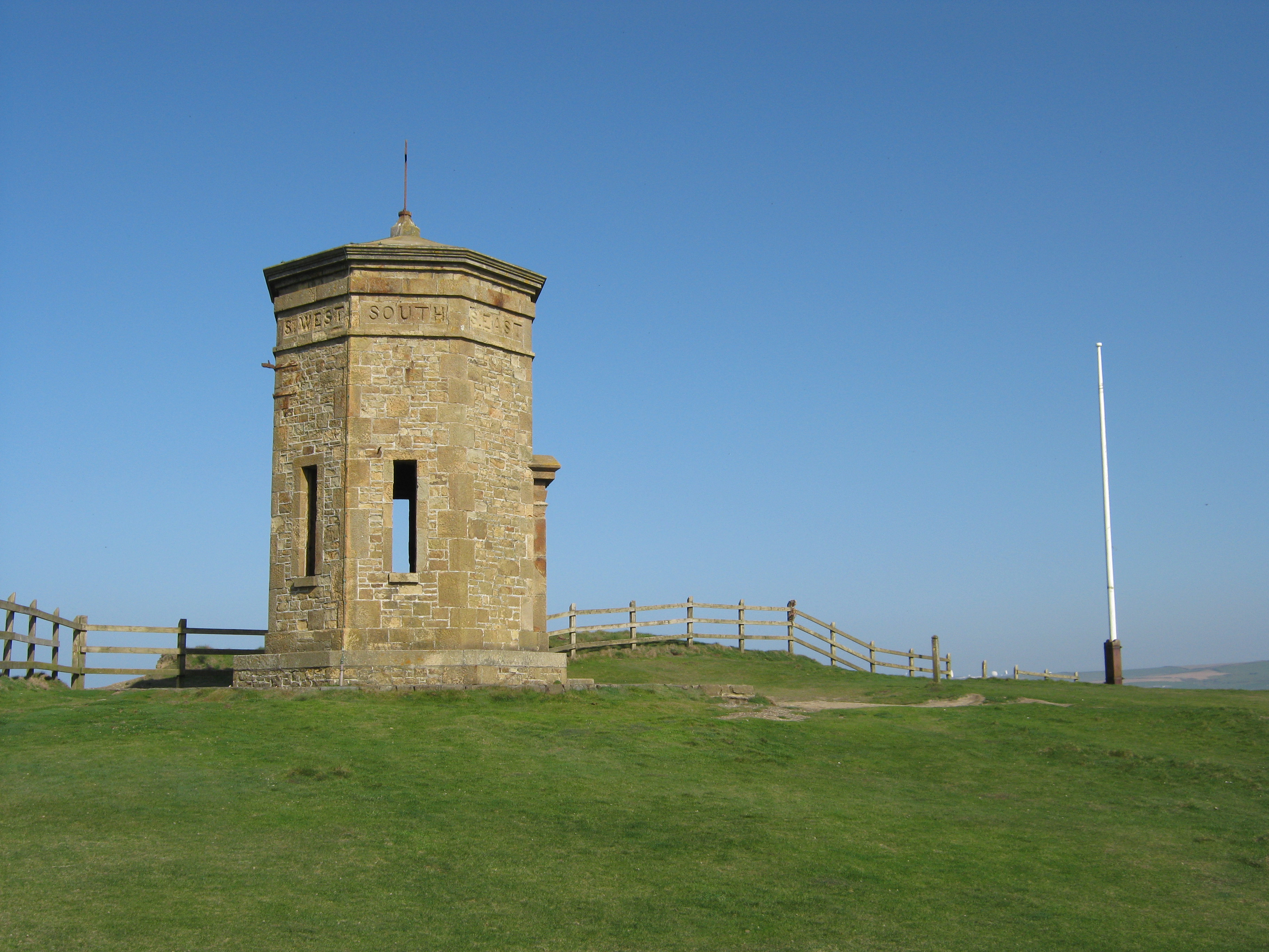
Compass Point storm tower
The Storm Tower at Compass Point, Bude–Stratton, Cornwall, England, is an octagonal lookout tower, modelled on the Tower of the Winds in Athens, Greece...

Bude Canal
The Bude Canal was a canal built to serve the hilly hinterland in the Cornwall and Devon border territory in the United Kingdom, chiefly to bring lime...

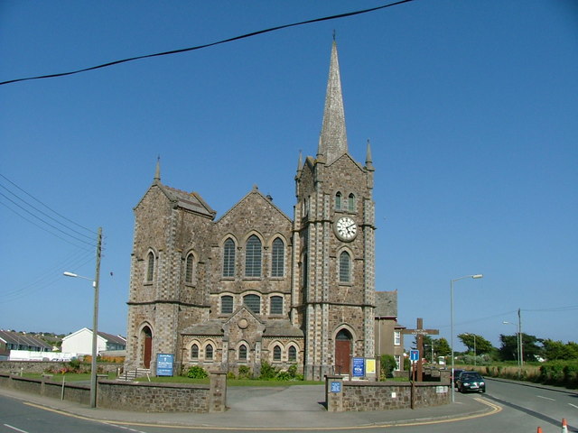
St Michael and All Angels Church, Bude
St Michael and All Angels Church is a Grade II listed church in Bude, Cornwall. == History == It was originally built in 1834 by George Wightwick for Sir...
Related Videos

BUDE | Exploring the holiday seaside town of Bude Cornwall
Bude is a holiday seaside town in north Cornwall, England, situated near the border between Cornwall and Devon and is ...

Coastal erosion forces iconic landmark to be moved not once but twice!
In this week's video we explore Bude, on the North coast of Cornwall near the Devon border. We have three fascinating stories to ...

Bude-Cornwall holiday part 1 (Away resorts)
Thanks for watching our trip to Cornwall, we spent 5 days in Bude and it was absolutely beautiful. We loved every second of it and ...
Wooda Farm and Bude
Our trip to Wooda Farm Holiday Park and Bude,Cornwall.
Nearby Amenities
Located within 500m of 50.841141,-4.5572486Have you been to Maer High Cliff Beach?
Leave your review of Maer High Cliff Beach below (or comments, questions and feedback).