Trwynmynachdy
Island in Pembrokeshire
Wales
Trwynmynachdy

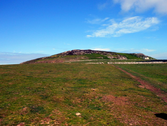
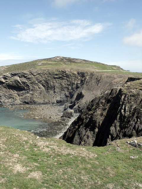
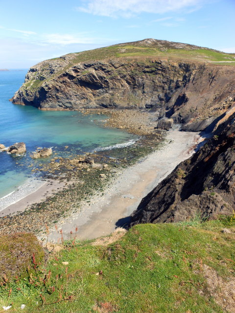
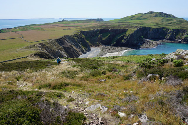
Trwynmynachdy is a small island located off the coast of Pembrokeshire, Wales. Situated in the picturesque Celtic Sea, this island covers an area of approximately 25 acres and is known for its stunning natural beauty.
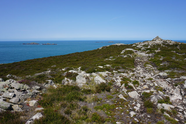
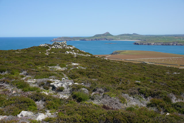
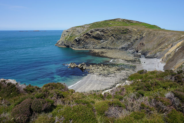
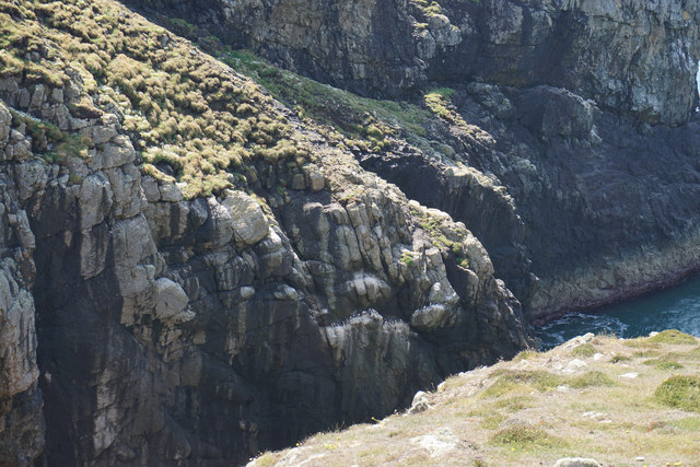
The island is characterized by its rugged coastline, with towering cliffs that offer breathtaking views of the surrounding sea. Trwynmynachdy is home to an abundance of wildlife, including various species of seabirds such as puffins, guillemots, and razorbills. Its remote location and diverse ecosystem make it an ideal spot for birdwatching enthusiasts and nature lovers alike.
Access to Trwynmynachdy is mainly by boat, with a small slipway available for private vessels. The island has no permanent residents, but it is a popular destination for day trips and camping. Visitors can explore the island's rocky shores, go hiking along its well-marked trails, or simply enjoy a picnic on one of its secluded beaches.
Trwynmynachdy has a rich history, with evidence of human habitation dating back to Neolithic times. The remains of an Iron Age hillfort can still be seen on the island, offering a glimpse into its ancient past. Over the years, Trwynmynachdy has also been used for grazing livestock and as a fishing spot.
Overall, Trwynmynachdy is a hidden gem in Pembrokeshire, offering visitors a chance to escape the hustle and bustle of everyday life and immerse themselves in the tranquility of nature.
If you have any feedback on the listing, please let us know in the comments section below.
Trwynmynachdy Images
Images are sourced within 2km of 51.855043/-5.3436189 or Grid Reference SM6922. Thanks to Geograph Open Source API. All images are credited.


Trwynmynachdy is located at Grid Ref: SM6922 (Lat: 51.855043, Lng: -5.3436189)
Unitary Authority: Pembrokeshire
Police Authority: Dyfed Powys
What 3 Words
///fidgeting.snips.dumps. Near St Davids, Pembrokeshire
Nearby Locations
Related Wikis

Ynys Bery
Ynys Bery is a small island south of Ramsey Island, Pembrokeshire, Wales, in the community of St David's and the Cathedral Close. == Etymology == The island...

Ramsey Island
Ramsey Island (Welsh: Ynys Dewi) is an island about 1 kilometre (1⁄2 nautical mile) off St David's Head in Pembrokeshire on the northern side of St Brides...

Carnllundain
Carnllundain or Carn Llundain is the highest elevation of Ramsey Island in Pembrokeshire, Wales. == Geography == The 136-metre (446 ft) high hill stands...

The Bitches
The Bitches (also known as Bitches and Whelps) are a tidal race and set of rocks between Ramsey Island and the west Welsh coastline near St Davids. They...
Pen Dal-aderyn
Pen Dal-aderyn is the westernmost point of mainland Wales. It is in Pembrokeshire, west of St Davids. It means 'Bird-catching Head' in Welsh. == External... ==

St Justinian
St Justinian (or St Justinian's or St Justinians; Welsh: Porth Stinan) is a coastal location of indeterminate area in the extreme northwest of Pembrokeshire...

St Justinian's Chapel
St Justinian's Chapel in Pembrokeshire, Wales, is now a roofless shell; the current structure was probably erected in the 16th century on earlier foundations...
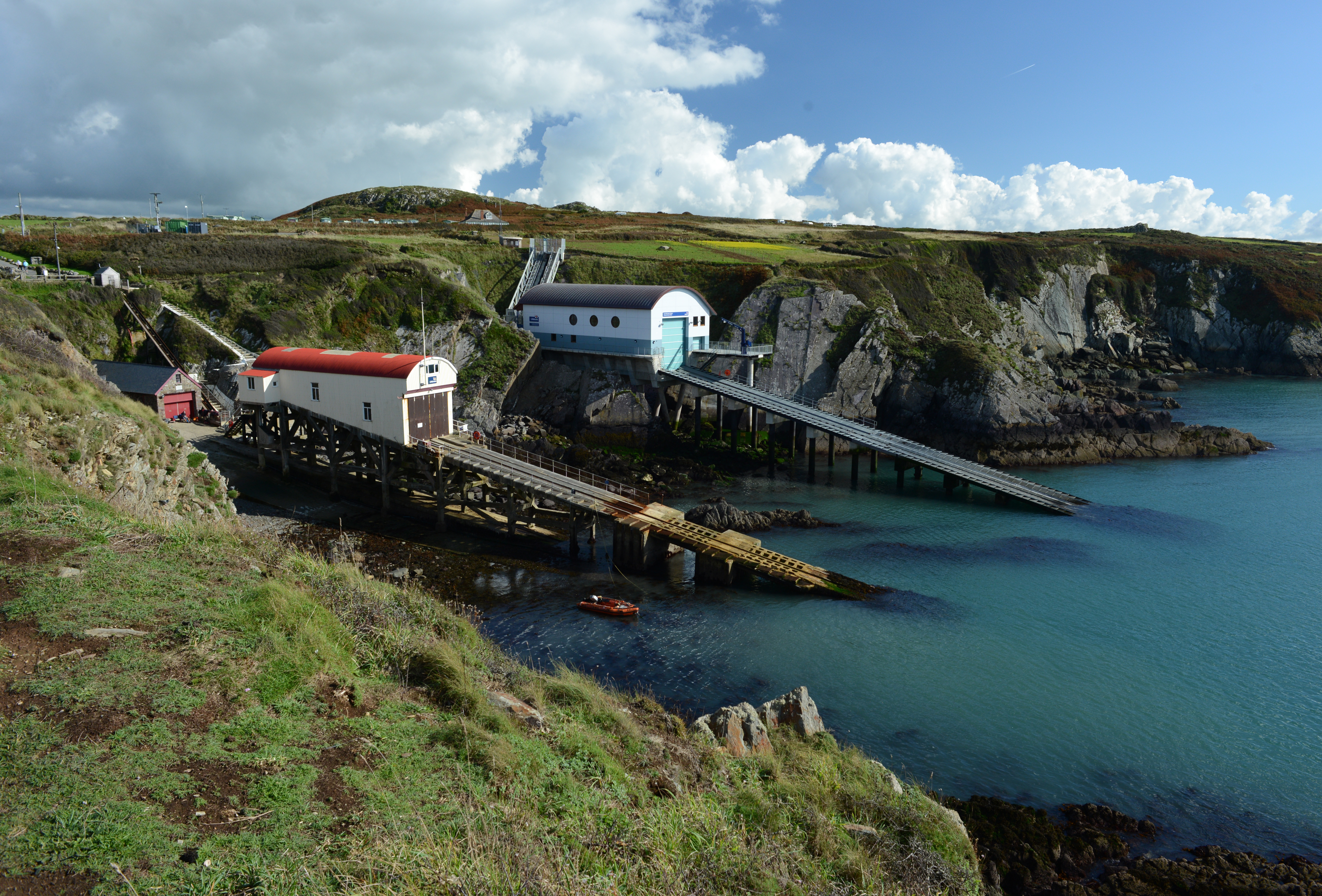
St Davids Lifeboat Station
St Davids Lifeboat Station (based in St Justinian, St Davids, Pembrokeshire, Wales) is a Royal National Lifeboat Institution (RNLI) station. It was opened...
Have you been to Trwynmynachdy?
Leave your review of Trwynmynachdy below (or comments, questions and feedback).