Orasaigh Uisgeabhagh
Island in Inverness-shire
Scotland
Orasaigh Uisgeabhagh
Orasaigh Uisgeabhagh, also known as Uisken Beach, is a picturesque island located in Inverness-shire, Scotland. Situated off the west coast of the mainland, it is part of the Inner Hebrides archipelago. The island is characterized by its rugged beauty, with stunning cliffs, pristine beaches, and crystal-clear waters.
Uisken Beach is a popular destination for nature lovers and outdoor enthusiasts. The island boasts a plethora of hiking trails, offering breathtaking views of the surrounding landscape. Visitors can explore the island's diverse flora and fauna, including a variety of seabirds, seals, and even occasional sightings of dolphins and whales.
The beach itself is a major attraction, with its golden sands and calm waters. It is an ideal spot for swimming, sunbathing, and picnicking. The island's remote location ensures a sense of tranquility and solitude, making it a perfect getaway from the hustle and bustle of city life.
Despite its small size, Orasaigh Uisgeabhagh has a rich history. Ruins of ancient settlements can be found on the island, providing a glimpse into the lives of its past inhabitants. The island also has a strong Gaelic heritage, with many traditional customs and festivals still celebrated today.
Access to Orasaigh Uisgeabhagh is primarily by boat, with regular ferry services available from the nearby mainland. Accommodation options on the island are limited, but there are a few cozy cottages and bed and breakfast establishments for those who wish to spend more time exploring its natural wonders.
In summary, Orasaigh Uisgeabhagh is a hidden gem in Inverness-shire, offering visitors a chance to immerse themselves in the beauty of Scotland's west coast. Its stunning beaches, rich history, and peaceful ambiance make it a must-visit destination for nature enthusiasts and those seeking a tranquil retreat.
If you have any feedback on the listing, please let us know in the comments section below.
Orasaigh Uisgeabhagh Images
Images are sourced within 2km of 57.437504/-7.2250719 or Grid Reference NF8650. Thanks to Geograph Open Source API. All images are credited.
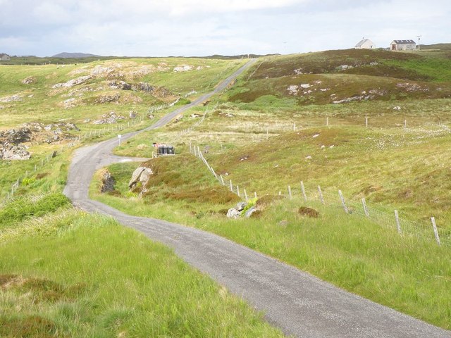
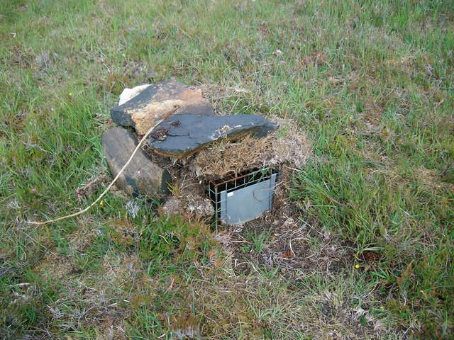
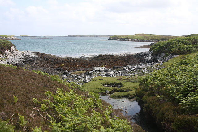
![A popular post box Maybe not so popular when it comes to the amount of mail that passes through it, but certainly popular with [currently] two thirds of geograph contributors who pass this way. The reason is that there is very little else of note in this square except for rough grassland and rather soggy moorland.](https://s1.geograph.org.uk/geophotos/06/20/89/6208981_6d9f61ef.jpg)
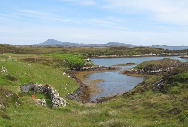
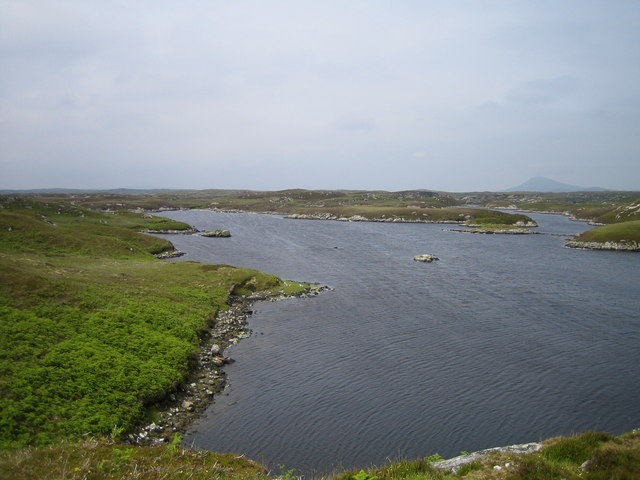
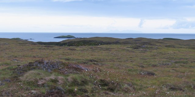
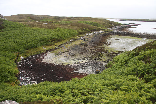
![On the shores of Loch Uiseabhagh Little visited [except by sheep] stretch of coastline in a remote corner of Benbecula.](https://s1.geograph.org.uk/geophotos/03/06/16/3061625_01f513f0.jpg)
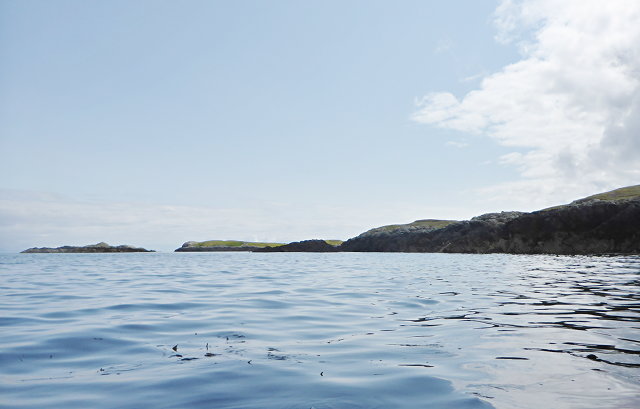
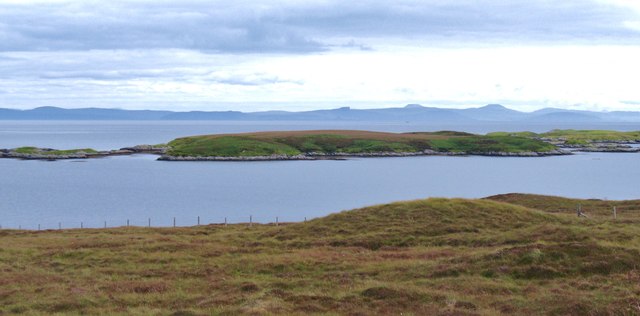
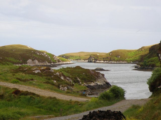
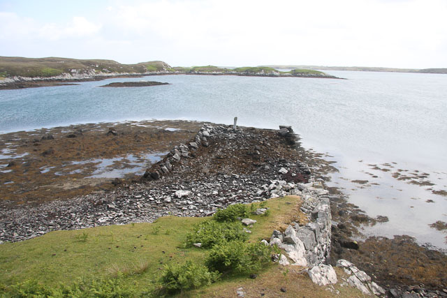
![Offshore skerry near Uiseabhagh The view offshore from a remote stretch of the Benbecula coastline. The skerry is unnamed on the map, whilst the coastline of Skye is visible in the distance [right].](https://s1.geograph.org.uk/geophotos/03/06/16/3061637_f08c3474.jpg)
Orasaigh Uisgeabhagh is located at Grid Ref: NF8650 (Lat: 57.437504, Lng: -7.2250719)
Unitary Authority: Na h-Eileanan an Iar
Police Authority: Highlands and Islands
What 3 Words
///hoops.noble.dining. Near Balivanich, Na h-Eileanan Siar
Nearby Locations
Related Wikis

Eileanan Chearabhaigh
Eileanan Chearabhaigh is a collection of small uninhabited tidal islands off the south east coast of Benbecula in the Outer Hebrides of Scotland. The English...

Wiay, Outer Hebrides
Wiay (Scottish Gaelic: Bhuia or Fuidheigh) is an uninhabited island in the Outer Hebrides. It lies south-east of Benbecula and measures approximately...

Grimsay (South East Benbecula)
Grimsay, south east of Benbecula is a tidal island of the Outer Hebrides. It is connected to Benbecula by a causeway which carries the B891. In the 2001...

Flodaigh
Flodaigh is a tidal island lying to the north of Benbecula and south of Grimsay in the Outer Hebrides, Scotland. It is connected to Benbecula by a causeway...
Nearby Amenities
Located within 500m of 57.437504,-7.2250719Have you been to Orasaigh Uisgeabhagh?
Leave your review of Orasaigh Uisgeabhagh below (or comments, questions and feedback).