Tweedsmuir Hills
Range Of Mountains, Range Of Hills in Selkirkshire
Scotland
Tweedsmuir Hills
Tweedsmuir Hills, located in Selkirkshire, Scotland, is a range of mountains and hills known for its stunning natural beauty and rich history. Spanning an area of approximately 220 square miles, the range is situated in the southern part of the country, bordering Dumfries and Galloway.
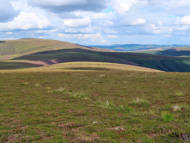
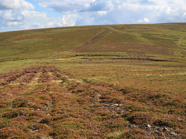
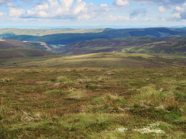
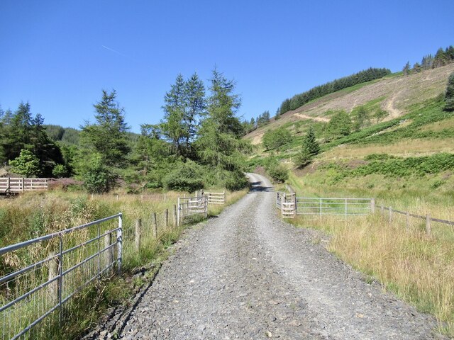
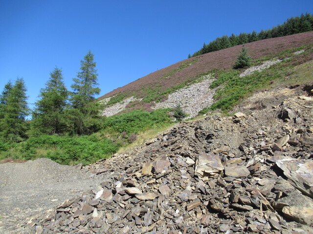
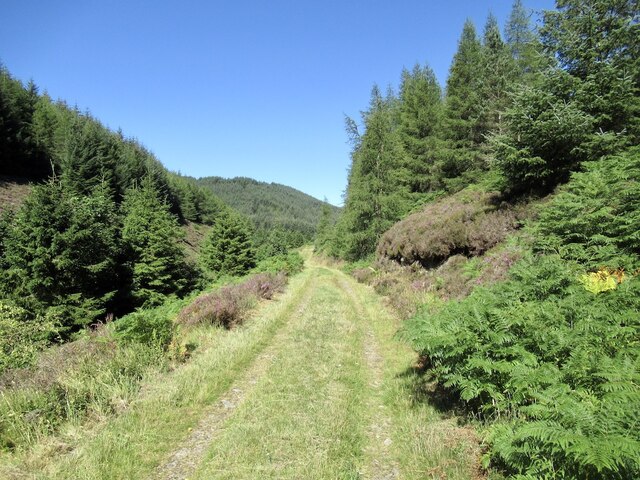
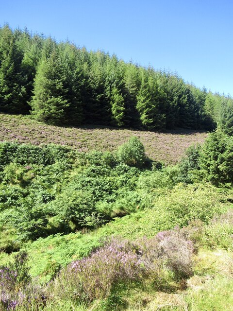
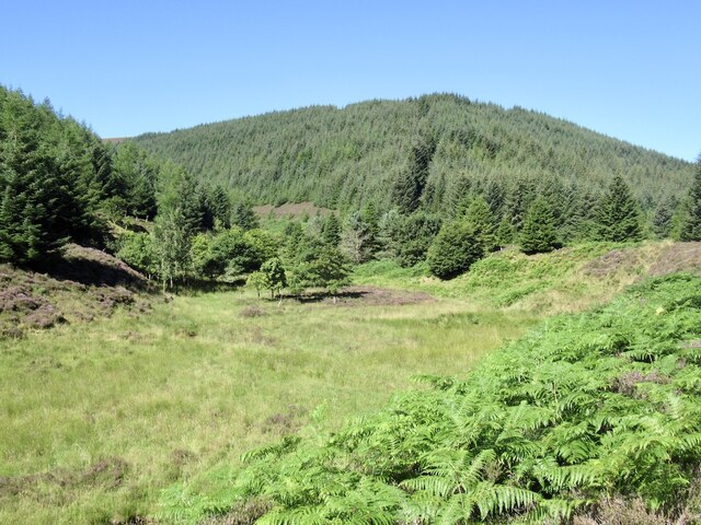
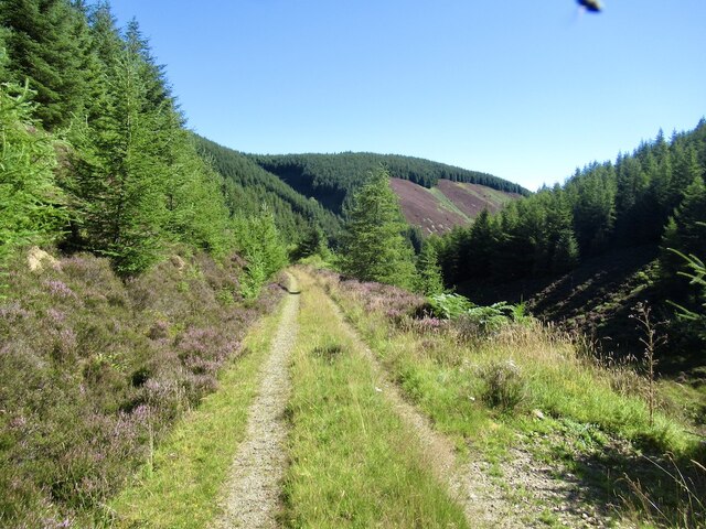
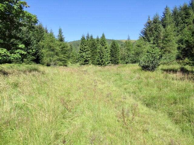
The Tweedsmuir Hills are characterized by their diverse landscape, featuring rugged peaks, rolling hills, deep valleys, and expansive moorlands. The highest point in the range is Broad Law, standing at an impressive 840 meters (2,760 feet) above sea level. Other notable peaks include Dollar Law, Hart Fell, and White Coomb.
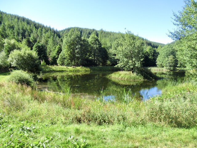
The range is crisscrossed by several rivers, including the River Tweed, which is renowned for its salmon fishing opportunities. The scenic beauty of the Tweedsmuir Hills is further enhanced by numerous lochs and reservoirs, such as Talla Reservoir and Megget Reservoir, which provide water for nearby towns and cities.
Historically, the Tweedsmuir Hills have been inhabited since prehistoric times, with evidence of ancient settlements and burial sites. The area was also significant during the Roman occupation of Britain, as they established forts and roads through the range. Today, remnants of these historic sites can still be seen, attracting history enthusiasts and archaeologists alike.
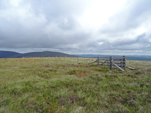
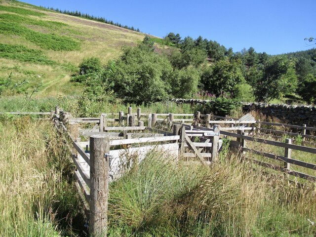
The Tweedsmuir Hills offer a range of outdoor activities for visitors to enjoy, including hiking, mountain biking, wildlife spotting, and birdwatching. The range is home to a variety of wildlife, including red deer, mountain hares, and golden eagles, making it a popular destination for nature lovers and photographers.
In conclusion, the Tweedsmuir Hills in Selkirkshire provide a breathtaking natural landscape, rich in history and biodiversity. Whether exploring its peaks, valleys or tranquil lochs, visitors to this stunning range are sure to be captivated by its beauty and the sense of tranquility it offers.
If you have any feedback on the listing, please let us know in the comments section below.
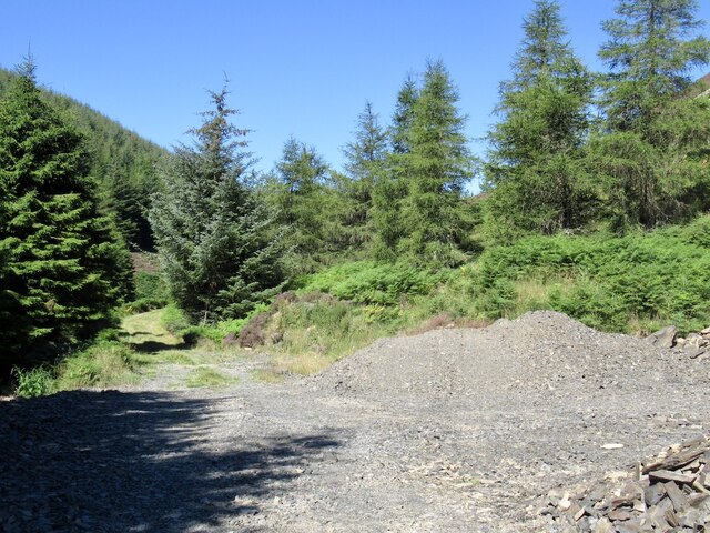
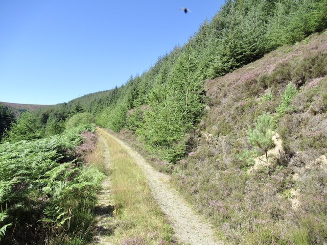
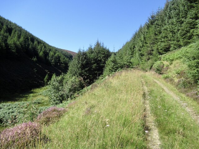
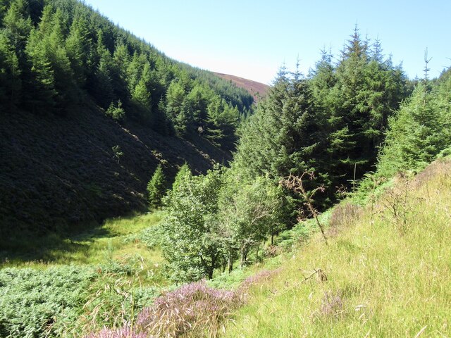
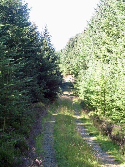
Tweedsmuir Hills Images
Images are sourced within 2km of 55.545571/-3.216592 or Grid Reference NT2328. Thanks to Geograph Open Source API. All images are credited.
Tweedsmuir Hills is located at Grid Ref: NT2328 (Lat: 55.545571, Lng: -3.216592)
Unitary Authority: The Scottish Borders
Police Authority: The Lothians and Scottish Borders
Also known as: Manor Hills
What 3 Words
///bounded.strut.reputable. Near Peebles, Scottish Borders
Nearby Locations
Related Wikis

Black Law (hill)
Black Law is a hill in the Manor Hills range, part of the Southern Uplands of Scotland. One of the more remote Donalds, it does not easily combine into...

Dun Rig
Dun Rig is a hill in the Manor Hills range, part of the Southern Uplands of Scotland. It is the highest hill in the northernmost cluster of the Manor Hills...

Manor Hills
The Manor Hills, also known as the Tweedsmuir Hills, are a range of hills south of Peebles in the Scottish Borders, one of the ranges which collectively...
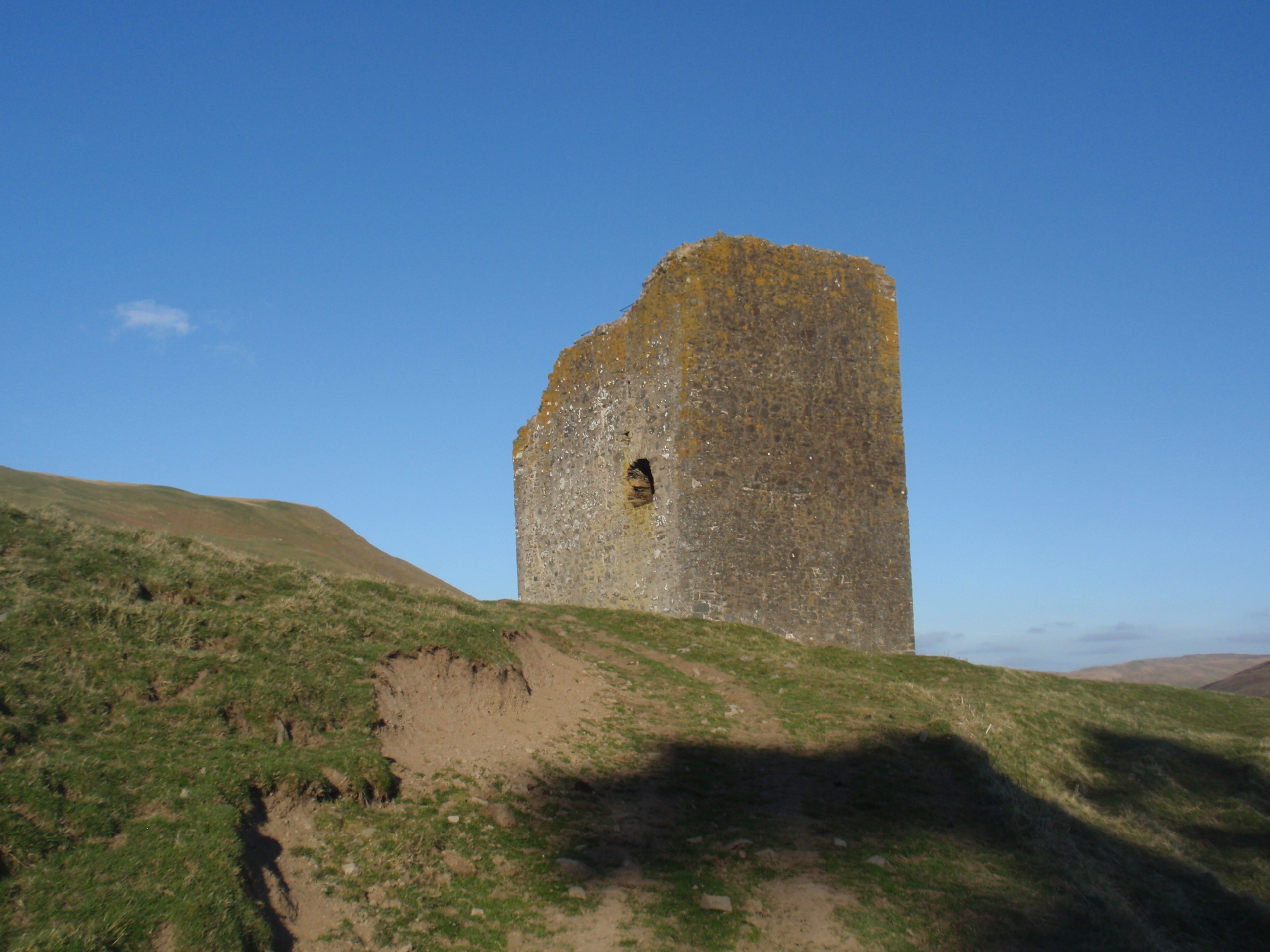
Dryhope Tower
Dryhope Tower is a ruined Scottish peel tower in the valley of the Yarrow Water, in the historic county of Selkirkshire, now part of the Scottish Borders...
Have you been to Tweedsmuir Hills?
Leave your review of Tweedsmuir Hills below (or comments, questions and feedback).