Rhinns of Kells

Range Of Mountains, Range Of Hills in Kirkcudbrightshire

Scotland

Rhinns of Kells

Towards Carlin's Cairn View of the Donald from Corserine.
Towards Carlin's Cairn Credit: Iain Russell

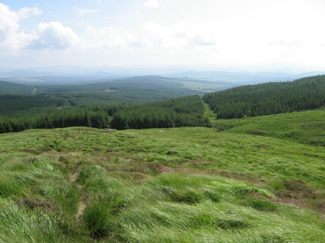
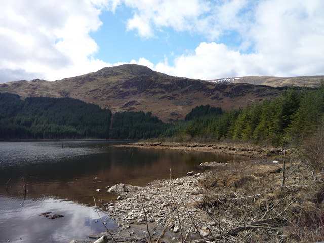
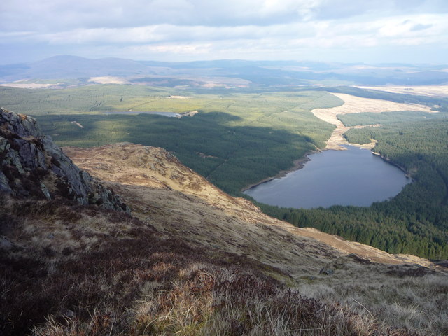
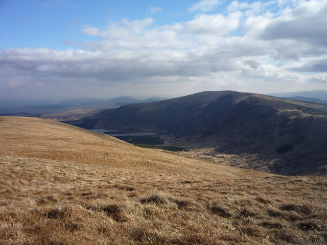
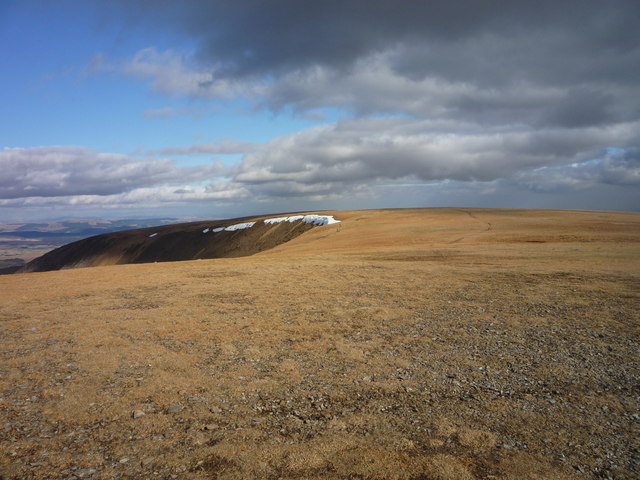
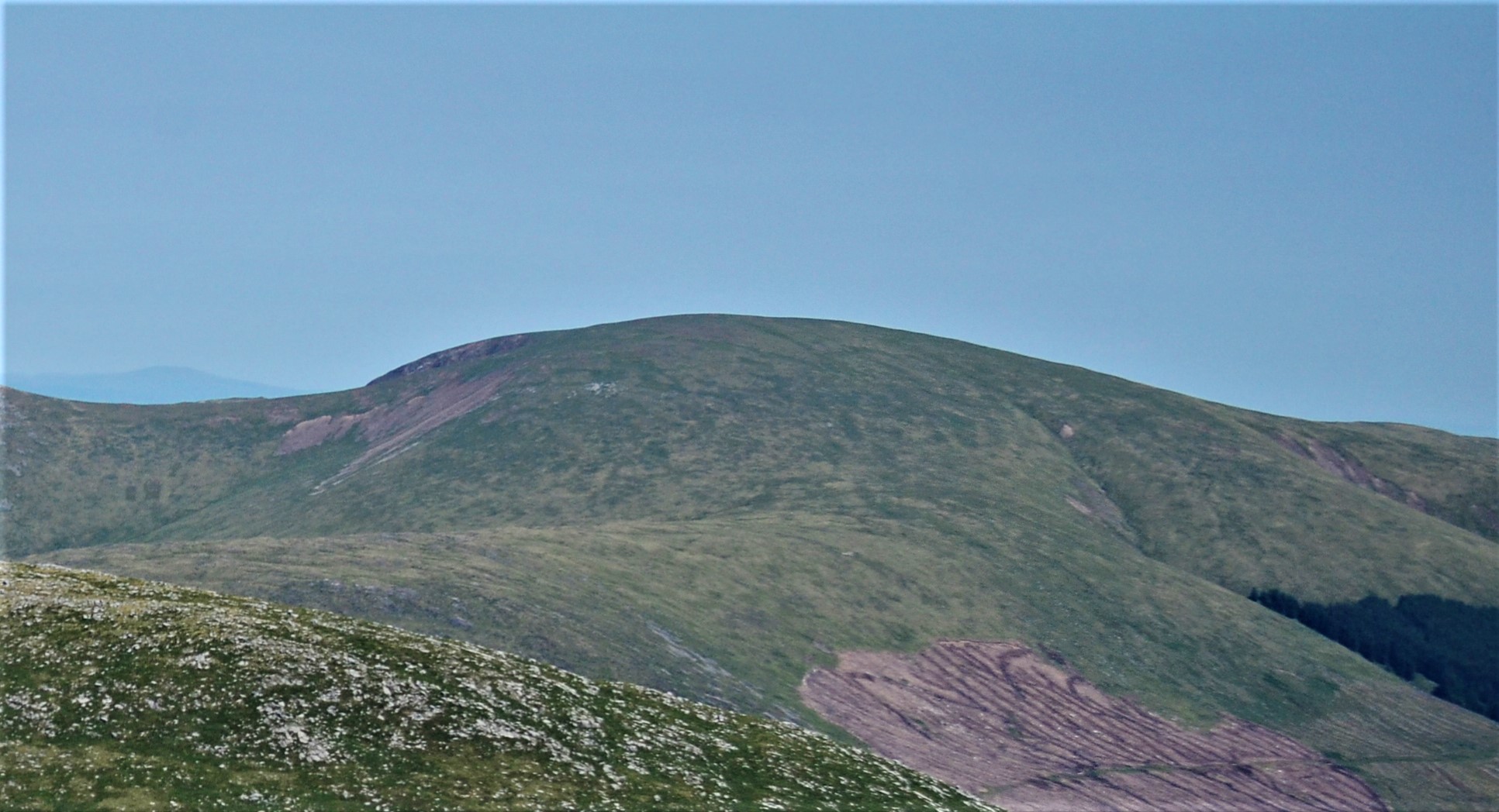
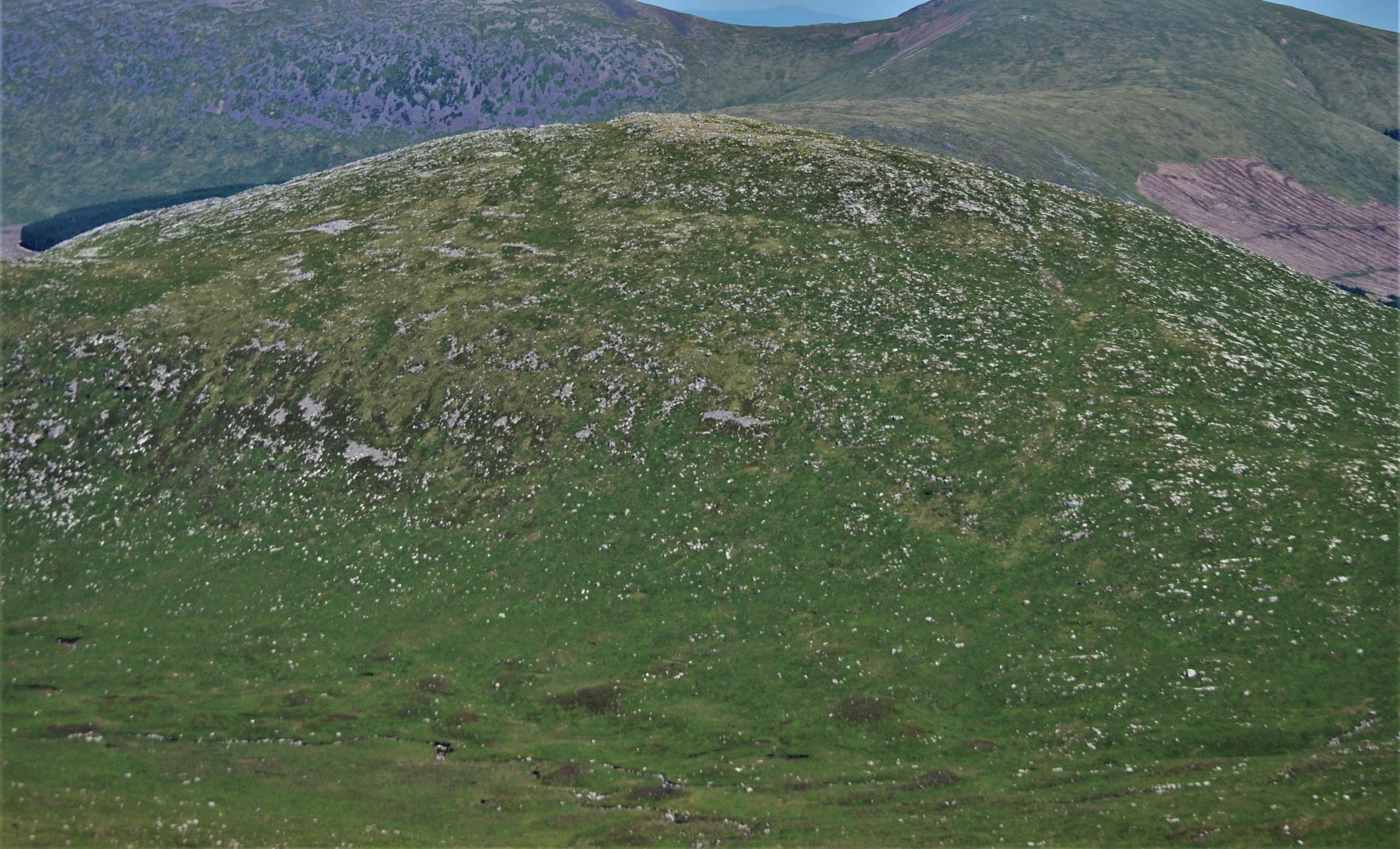
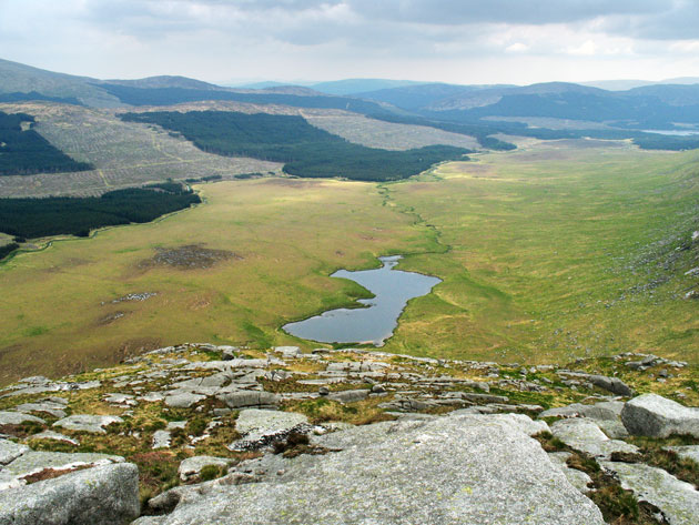
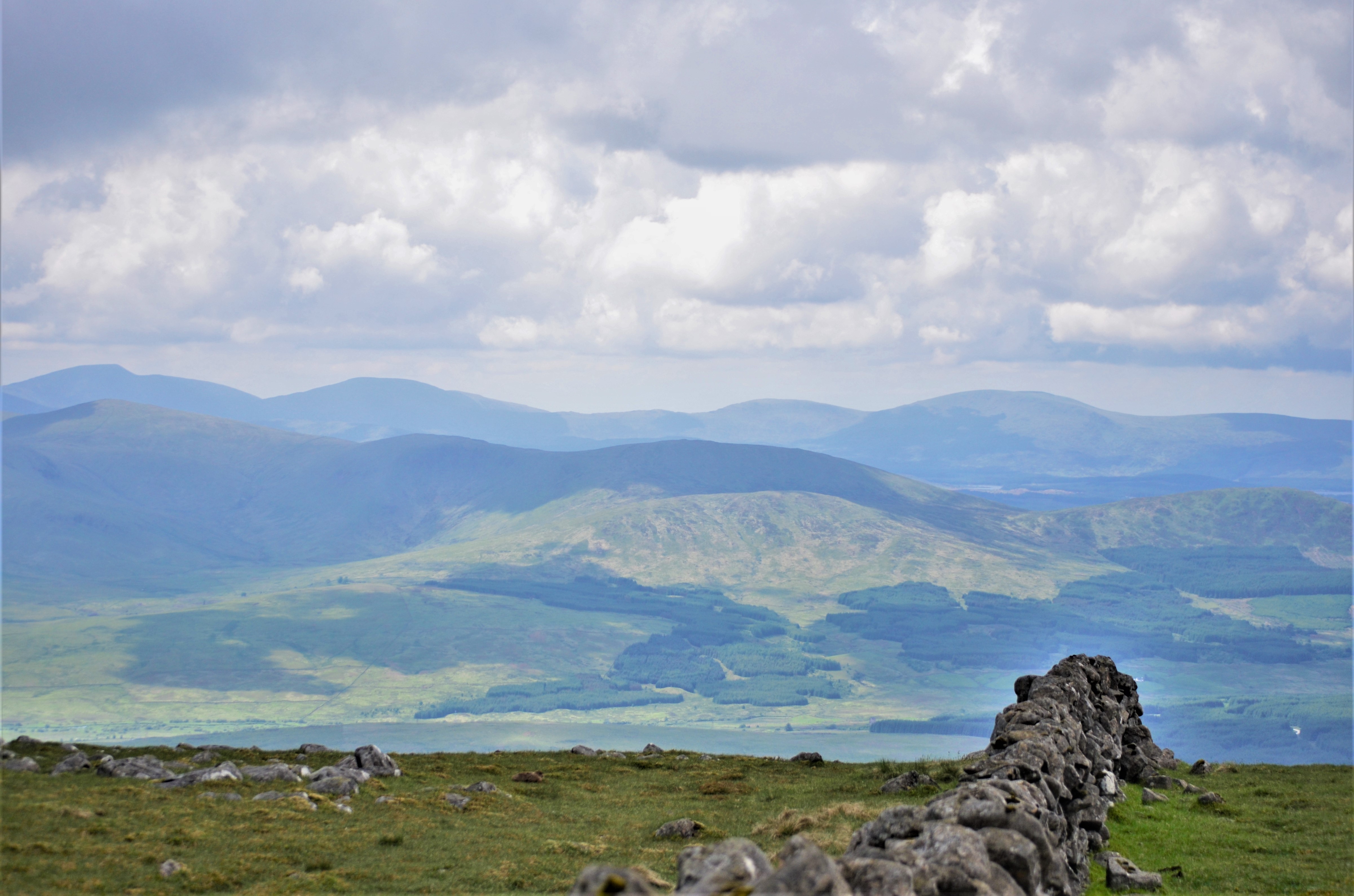
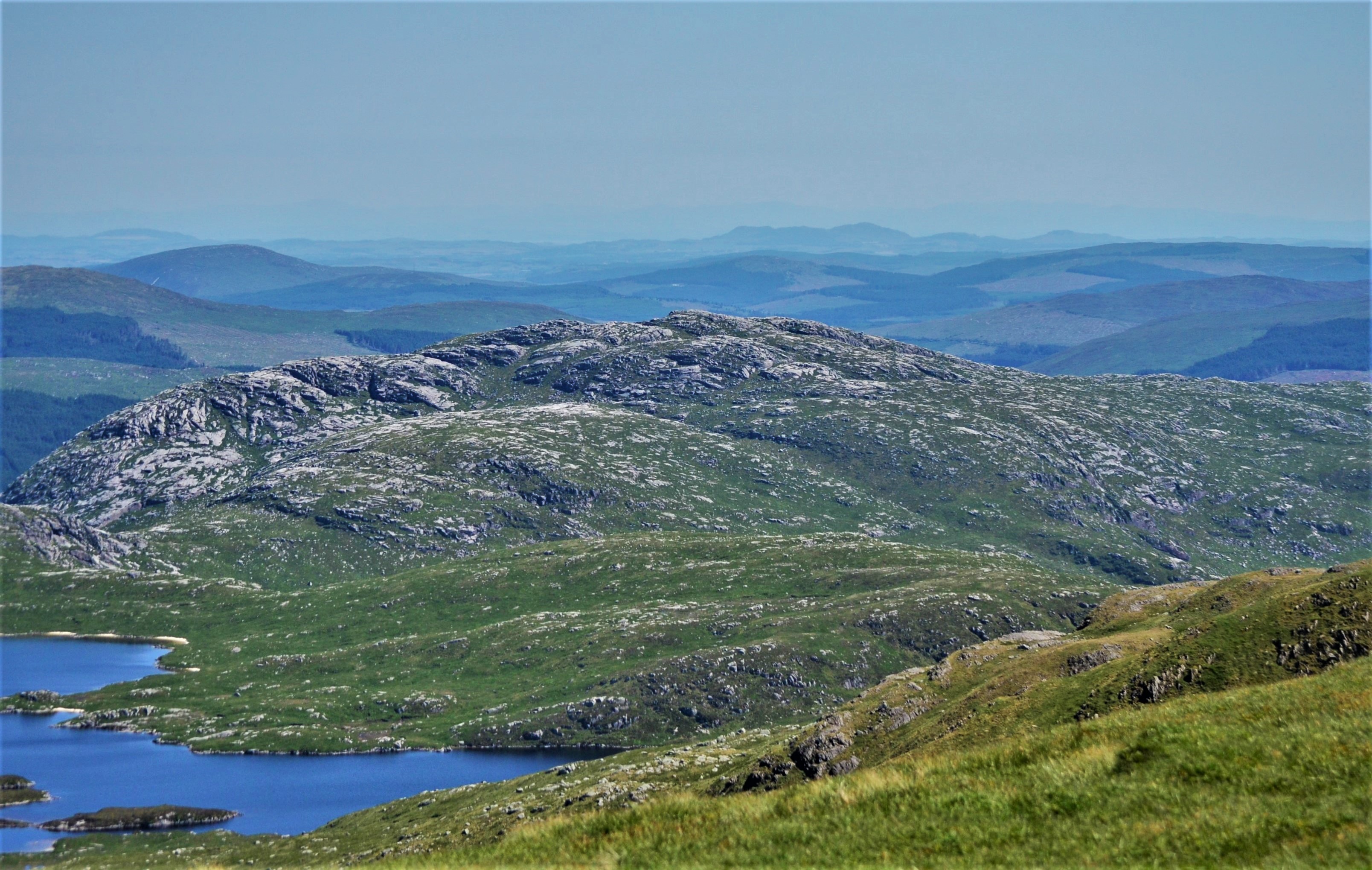
The Rhinns of Kells is a range of hills located in Kirkcudbrightshire, Scotland. Situated in the southern part of the country, it is part of the wider Galloway Hills and forms a distinct and prominent feature in the landscape.

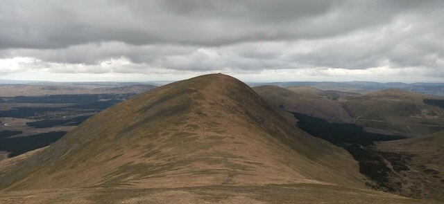
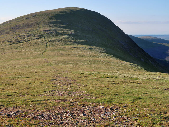
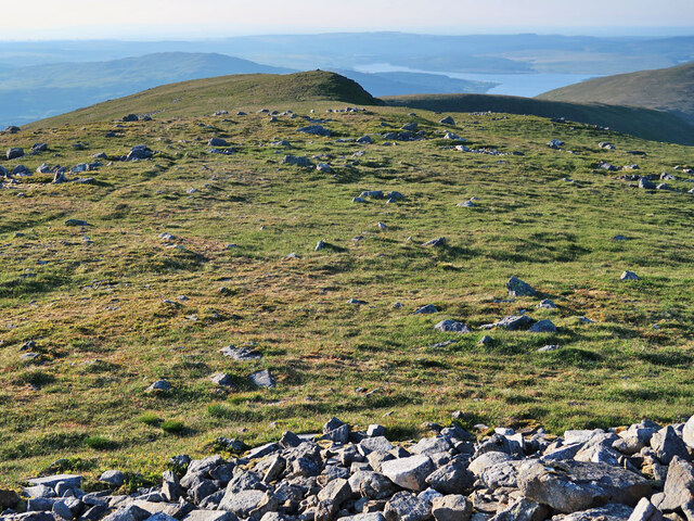
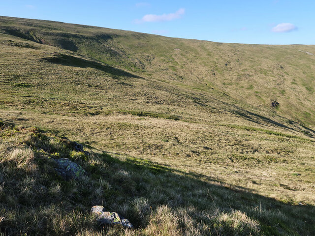
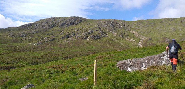
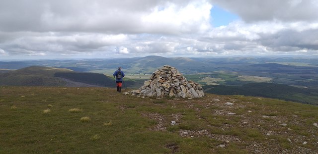
The Rhinns of Kells stretches approximately 16 kilometers from northeast to southwest, with its highest point at Corserine, reaching an elevation of 814 meters. The range is characterized by its rugged and rocky terrain, with steep slopes and deep glens, making it an ideal destination for hikers and outdoor enthusiasts.

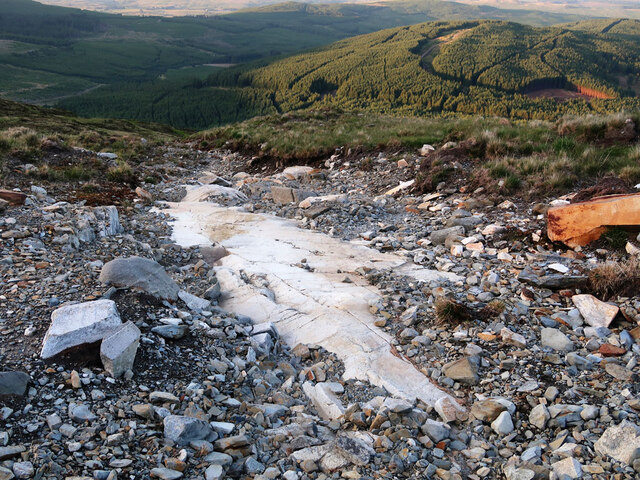
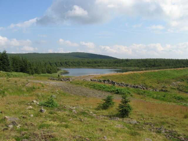
The hills are composed mainly of granite and are covered in a mixture of heather, grasses, and scattered woodland. The area is known for its diverse wildlife, including red deer, mountain hares, and various bird species, making it a popular spot for nature lovers and photographers.

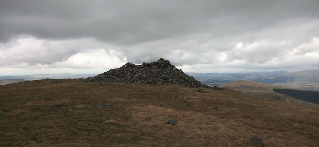
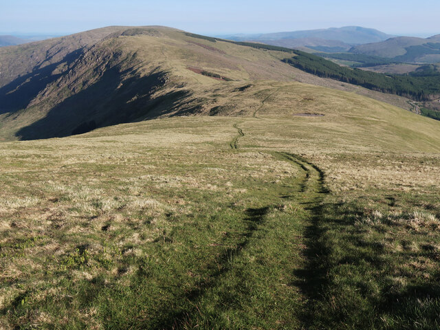
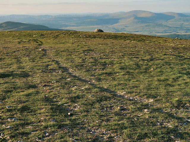
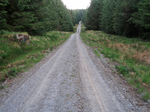
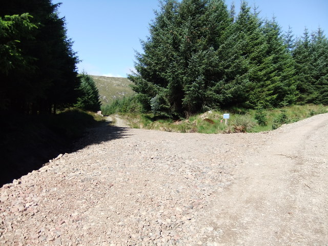
Several well-marked trails and paths traverse the Rhinns of Kells, providing access to its stunning landscapes and panoramic views. These routes offer a range of difficulty levels, accommodating both experienced hikers and those seeking a more leisurely stroll.

The Rhinns of Kells is also home to a number of ancient archaeological sites, including standing stones and cairns, providing a glimpse into the region's rich history and cultural heritage.

Overall, the Rhinns of Kells offers a diverse and captivating landscape, with its rugged hills, abundant wildlife, and historical sites, making it a must-visit destination for anyone exploring the natural beauty of Kirkcudbrightshire.

If you have any feedback on the listing, please let us know in the comments section below.

Rhinns of Kells Images

Images are sourced within 2km of 55.160552/-4.3380691 or Grid Reference NX5187. Thanks to Geograph Open Source API. All images are credited.

Towards Carlin's Cairn View of the Donald from Corserine.
Towards Carlin's Cairn
View of the Donald from Corserine.
Summit of Carlin's Cairn The summit is crowned by a cairn which seems very large given its Scottish hill classification as a Donald.
Summit of Carlin's Cairn
The summit is crowned by a cairn which seems very large given its Scottish hill classification as a Donald.
ATV moorland track on Corserine Looking south along the Rhinns of Kells to Millfire, Milldown and Meikle Millyea.
ATV moorland track on Corserine
Looking south along the Rhinns of Kells to Millfire, Milldown and Meikle Millyea.
ATV moorland track ascending Carlin's Cairn
View north from Carlin's Cairn Looking from the summit towards Loch Doon.
View north from Carlin's Cairn
Looking from the summit towards Loch Doon.
North Gairy ridge on Corserine
ATV moorland track on Corserine Passing Hennessey's Cairn and shelter on Polmaddy Gairy.
ATV moorland track on Corserine
Passing Hennessey's Cairn and shelter on Polmaddy Gairy.
Flash flood debris on Craigrine? A small area around this dried up stream has been stripped of vegetation exposing the underlying stones and bedrock.
Flash flood debris on Craigrine?
A small area around this dried up stream has been stripped of vegetation exposing the underlying stones and bedrock.
Robert Watson Road in the Forrest Estate The Forrest Estate was purchased in 1952 for Fred Olson Ltd and many of the forest roads are named after Olsen family members or estate employees.
Robert Watson Road in the Forrest Estate
The Forrest Estate was purchased in 1952 for Fred Olson Ltd and many of the forest roads are named after Olsen family members or estate employees.
Lower slopes of Corserine The path on the lower slopes of Corserine just after you exit the woodlands.
Lower slopes of Corserine
The path on the lower slopes of Corserine just after you exit the woodlands.
Hennessey's Cairn and shelter Hennessey's Cairn and shelter on Corserine.
Hennessey's Cairn and shelter
Hennessey's Cairn and shelter on Corserine.
Loch Mannoch
Loch Mannoch
Lower slopes of Corserine near Folk Burn
View across the Loch Harrow reservoir towards Corserine The rocky Craigbrock ridge is prominent.
View across the Loch Harrow reservoir towards Corserine
The rocky Craigbrock ridge is prominent.
Looking over Craigbrock towards Loch Harrow Shows the scale of the forestry plantations in this part of Galloway.
Looking over Craigbrock towards Loch Harrow
Shows the scale of the forestry plantations in this part of Galloway.
Looking down the valley of the Hawse Burn from Corserine's North Gairy ridge The burn drains into Loch Dungeon
Looking down the valley of the Hawse Burn from Corserine's North Gairy ridge
The burn drains into Loch Dungeon
View towards Polmaddy Gairy from Corserine summit plateau Gairy is a Scots word for a crag or outcrop, and features heavily in the names of places in the Galloway hills.  The Ordnance Survey draughtsman seems to have overstated the cragginess here though.
View towards Polmaddy Gairy from Corserine summit plateau
Gairy is a Scots word for a crag or outcrop, and features heavily in the names of places in the Galloway hills. The Ordnance Survey draughtsman seems to have overstated the cragginess here though.
The path to the hills
Show me another place!

Rhinns of Kells is located at Grid Ref: NX5187 (Lat: 55.160552, Lng: -4.3380691)

Unitary Authority: Dumfries and Galloway

Police Authority: Dumfries and Galloway

What 3 Words

///wades.rolled.plodding. Near Bellsbank, East Ayrshire

Nearby Locations

Rhinns of Kells

Related Wikis

Rhinns of Kells

The Rhinns of Kells are a range of hills in the Galloway Hills range, part of the Southern Uplands of Scotland. The most easterly of three parallel ridges...

Corserine

Corserine is a hill in the Rhinns of Kells, a sub-range of the Galloway Hills range, part of the Southern Uplands of Scotland. The highest point of the...

Mullwharchar

Mullwharchar is a hill in the Dungeon Hills, a sub-range of the Galloway Hills range, part of the Southern Uplands of Scotland. Mullwarchar is situated...

Silver Flowe

Silver Flowe is an area of patterned blanket mire in the Galloway Hills, in Dumfries and Galloway, Scotland. Located around 16 km north northeast of Newton...

Galloway Hills

The Galloway Hills are part of the Southern Uplands of Scotland, and form the northern boundary of western Galloway. They lie within the bounds of the...

Dungeon Hill (hill)

Dungeon Hill is a hill in the Dungeon Hills, a sub-range of the Galloway Hills range, part of the Southern Uplands of Scotland. Although it is the lowest...

Craignaw

Craignaw is a hill in the Dungeon Hills, a sub-range of the Galloway Hills range, part of the Southern Uplands of Scotland. Unlike many hills in the Southern...

Galloway Forest Park

Galloway Forest Park is a forest park operated by Forestry and Land Scotland, principally covering woodland in Dumfries and Galloway. It is claimed to...

Nearby Amenities

Located within 500m of 55.160552,-4.3380691
Man Made: cairn
Lat/Long: 55.1589794/-4.3442075
The data included in this document is from www.openstreetmap.org. The data is made available under ODbL.

Have you been to Rhinns of Kells?

Leave your review of Rhinns of Kells below (or comments, questions and feedback).